Cordillera Central · 3 days · 37.8 miles · Colombia

Los Nevados Hiking Guide

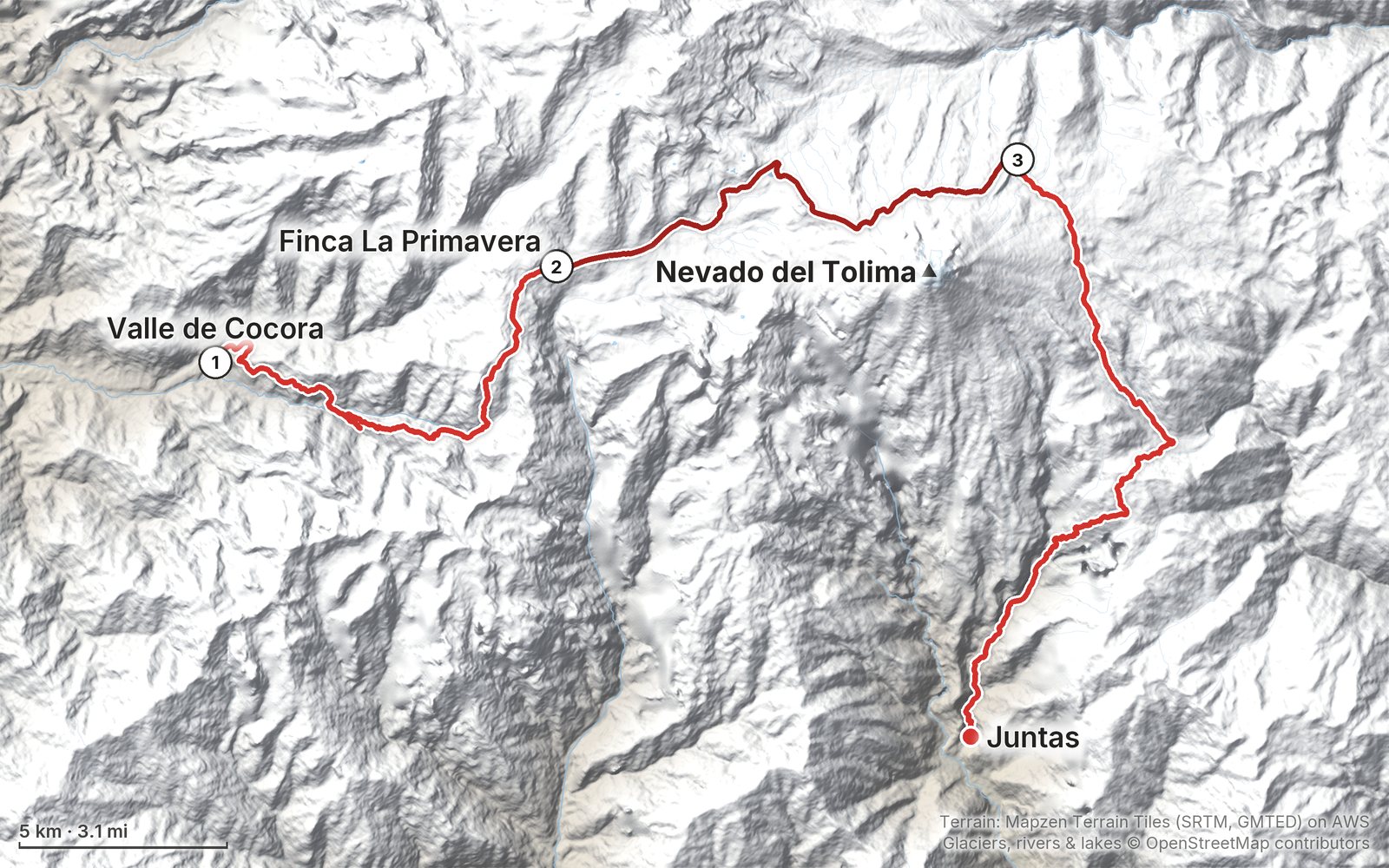
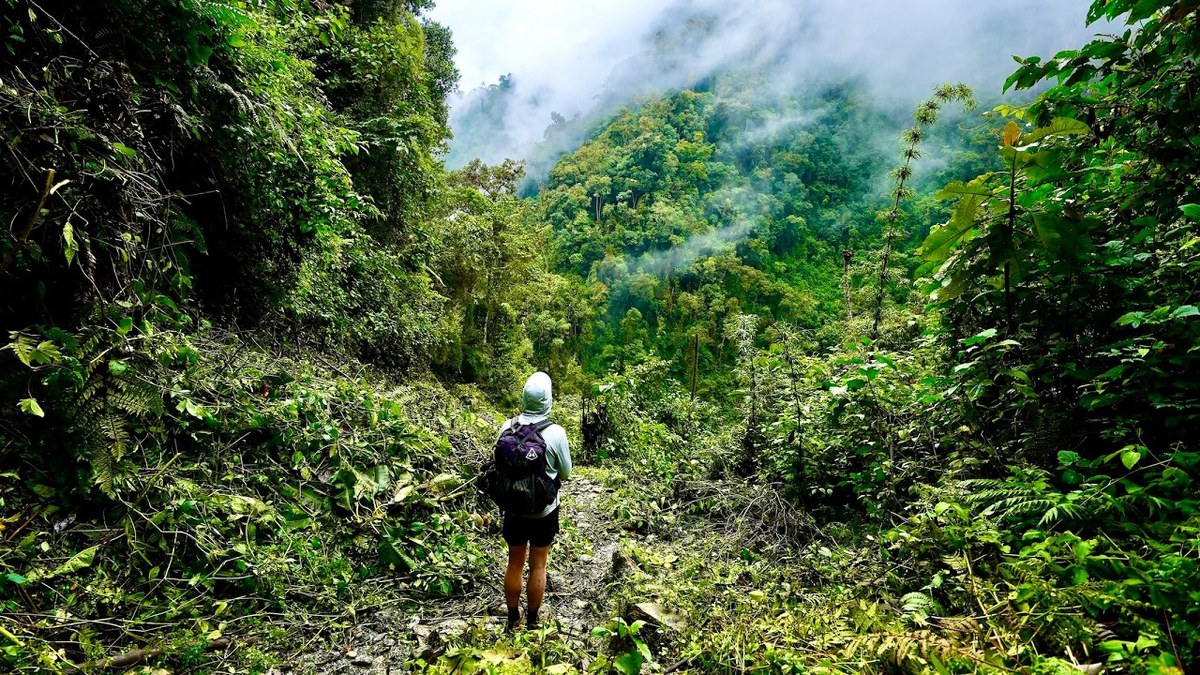
In March 2021 I hiked alone across Los Nevados National Natural Park in Colombia: from Salento and the wax palms of the Valle de Cocora up through the cloud forest to a mountain farm, over the high paramo below the glacier of Nevado del Tolima to the hot springs at Termales del Cañón, and down to Juntas above Ibagué. It's the trip from my film Hiking Alone in Colombia. Since 2026 the park requires a registered guide, so this guide tells my crossing and how to do the same route now: my GPX files, maps and notes for all three days, the 2026 rules, the guide and the camps, the earthquake's effects, getting to Salento and out from Juntas, costs, weather, altitude and safety, and a trip sheet.

Paying in the Facebook/Instagram app? Tap ⋯ and Open in browser to use Apple Pay or Google Pay.

$19Watch the film

Instant download: PDF + GPX files.
Not useful? Email me within 30 days for a refund.

The cover of the Los Nevados Hiking Guide

What's inside

Look inside

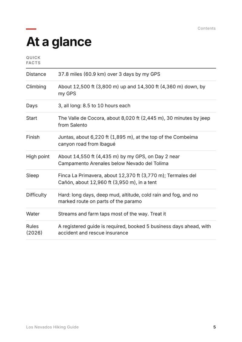
At a glance page from the Los Nevados Hiking Guide
At a glance
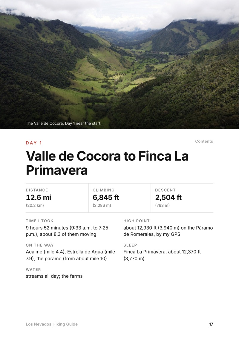
A day page page from the Los Nevados Hiking Guide
A day page
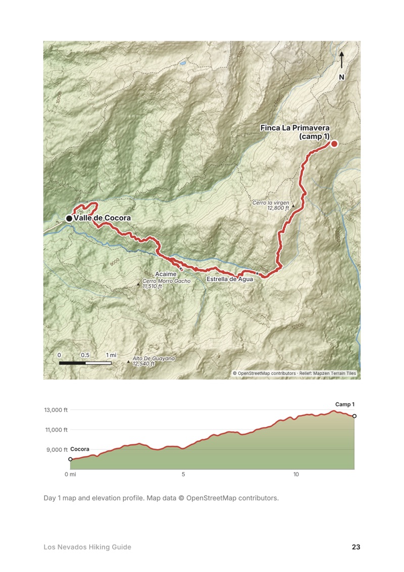
A day map and elevation profile page from the Los Nevados Hiking Guide
A day map and elevation profile
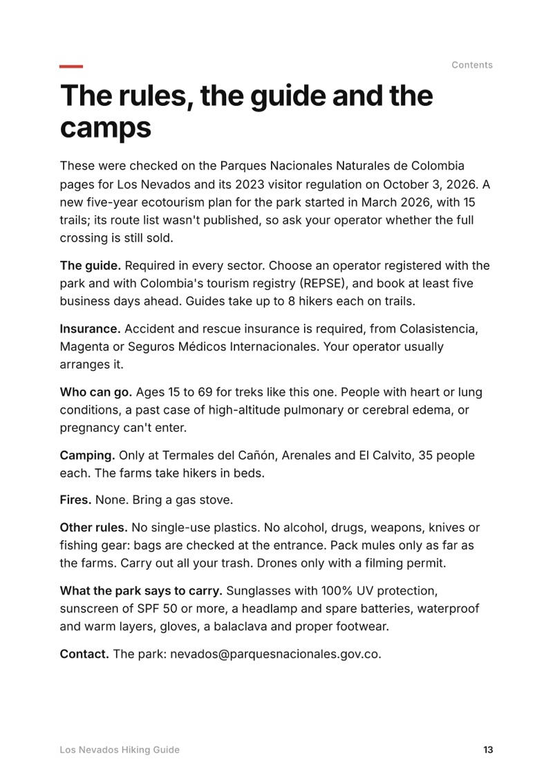
The rules, the guide and the camps page from the Los Nevados Hiking Guide
The rules, the guide and the camps

The details

Format
A PDF sized for a phone (A5, prints fine too) and a folder of GPX files, in one zip download.
Edition
2027 season edition, updated October 2026.
Delivery
Instant. After you pay you get a private download link. Bookmark it to download again on any device.
Payment
Secure checkout through Stripe, in your own currency. Tax is included in the price, except in the US and Canada, where any sales tax is added at checkout.
Refunds
Not useful? Email me within 30 days for a refund: kraig@kraigadams.com.
Questions
Email kraig@kraigadams.com.

Paying in the Facebook/Instagram app? Tap ⋯ and Open in browser to use Apple Pay or Google Pay.

$19

Questions

Can you hike Los Nevados without a guide?
Not anymore. Since 2026 Parques Nacionales requires a registered guide in every sector of Los Nevados National Natural Park, booked through a registered operator at least five business days ahead, with accident and rescue insurance.
How long is the trek from the Valle de Cocora to Termales del Cañón?
About 22.6 miles (36.4 km) by my GPS over two days: 12.6 miles from Cocora to Finca La Primavera and 10.1 more over the high paramo to the hot springs. I came out the other side to Juntas, 15.2 more miles, for 37.8 in all.
How high does the Los Nevados trek go?
About 14,550 ft (4,435 m) by my GPS, on the paramo below Nevado del Tolima near Campamento Arenales. Termales del Cañón is about 12,960 ft (3,950 m).
Where can you camp in Los Nevados?
Only at Termales del Cañón, Arenales and El Calvito, 35 people each. The farms on the route, like Finca La Primavera, take hikers in beds.
Is Los Nevados open after the 2026 earthquake?
The park's south sector is open with a guide. The August 10, 2026 earthquake damaged houses in Salento, which reopened within days, and set off landslides on the Juntas side, so check with your operator before planning to finish at Juntas.
When is the best time to hike Los Nevados?
The drier seasons are December to February and July to August. Rain and fog are possible any month, and the park closes for five days after Easter, in late September and in late November.
More guides

All guides
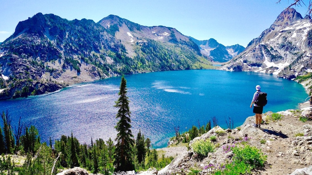
Sawtooth Wilderness Loop, Sawtooth Wilderness, Idaho

Sawtooth Wilderness, Idaho

Sawtooth Wilderness Loop

3 days · 71 miles · tent, a loop

A loop through Idaho's Sawtooth Wilderness from Grandjean past Sawtooth Lake, the Baron Lakes, the Cramer Lakes and the Ten Lake Basin, back down the South Fork Payette. The Grandjean start is closed through December 31, 2026; the guide covers the closure and the ways in from the Stanley side.

  • All three days
  • My GPX files
  • The 2026 closure
  • Permits and rules

See the guide: Sawtooth Wilderness Loop · $19

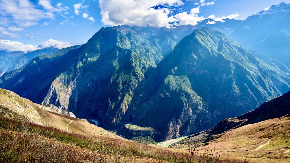
Choquequirao, Apurímac canyon, Peru

Apurímac canyon, Peru

Choquequirao

3 days · 29 miles · tent, no guide

From Capuliyoc above Cachora down into Peru's Apurímac canyon, up to the Inca site of Choquequirao and back.

  • All three days
  • My GPX files
  • The park
  • Getting there

See the guide: Choquequirao · $19

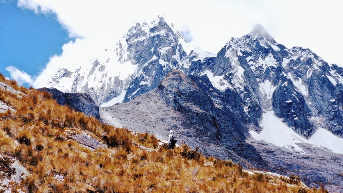
Santa Cruz Trek, Cordillera Blanca, Peru

Cordillera Blanca, Peru

Santa Cruz Trek

3 days · 31 miles · tent, no guide

From Vaquería over the Punta Unión pass and down the Santa Cruz valley to Cashapampa, in Peru's Cordillera Blanca.

  • All three days
  • My GPX files
  • The park
  • Getting there

See the guide: Santa Cruz Trek · $19

Get the next guide

I'm making guides for more of my hikes, and I host a group trip about once a year. Get an email when a new guide or trip is out. A few emails a year.