Navarino Island, Chile · 3 days · 32 miles · tent, wild camps

Dientes de Navarino Hiking Guide

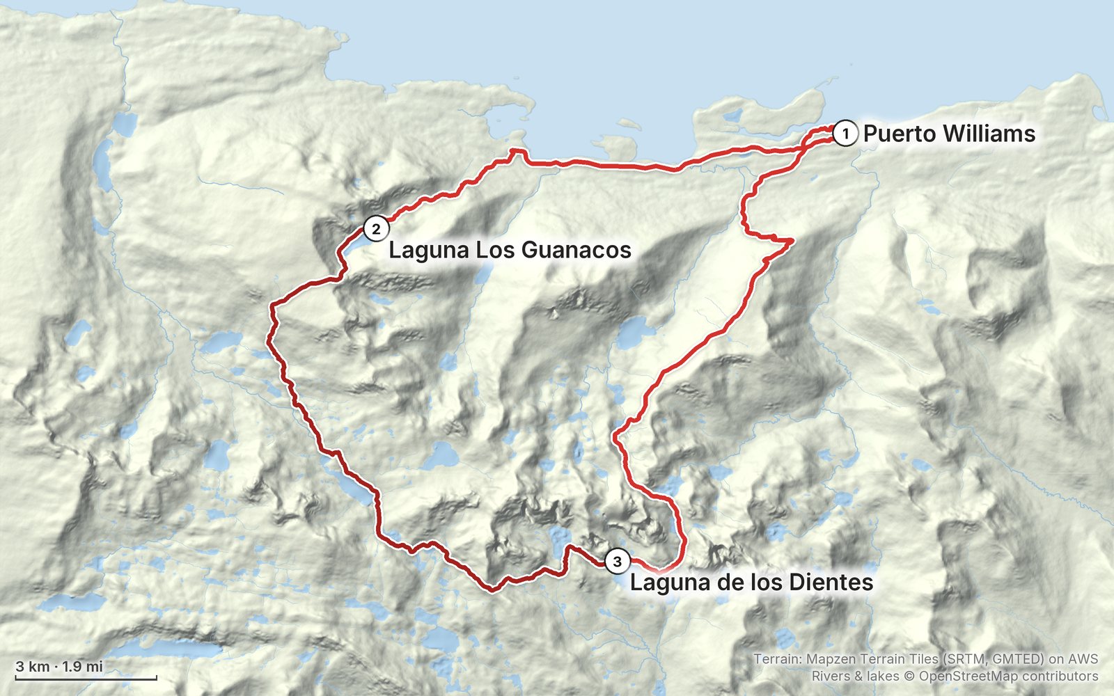
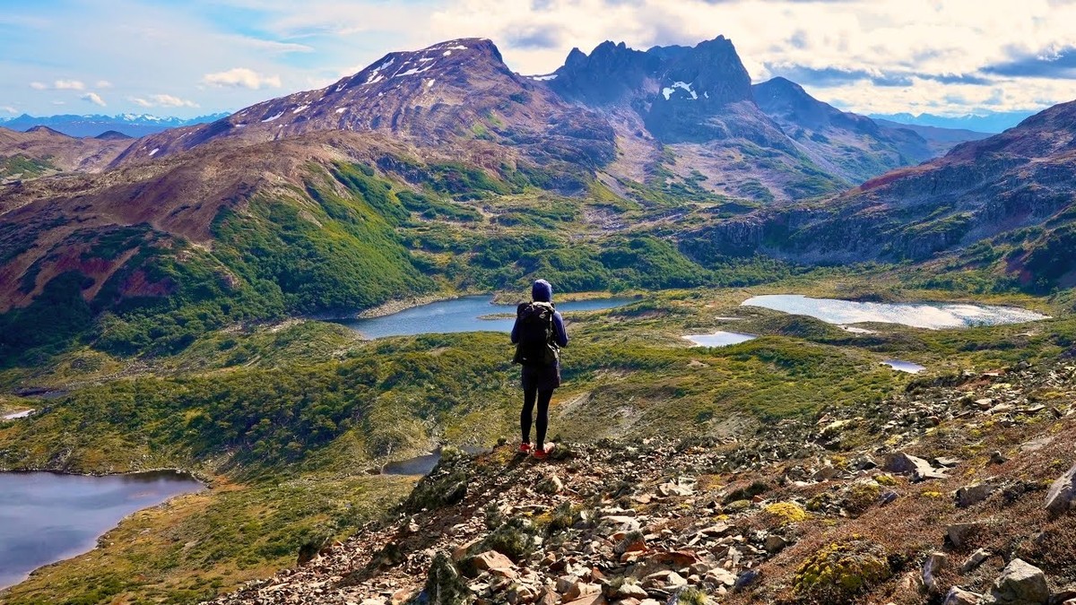
In March 2025 I hiked the Dientes de Navarino circuit on Navarino Island, Chile, the southernmost trek in the world: about 32 miles in three days, alone, from Puerto Williams west along the Beagle Channel, over Paso Virginia, past dozens of lakes and over Paso Ventarrón, Paso de los Dientes and Paso Australia, and back down past the flag on Cerro Bandera. It's the trip from my film Hiking the Dientes de Navarino Trail in Chile. This guide has my GPS files, maps and notes for every day, where the faint trail is hardest to follow, registration with the Carabineros and the seasonal closure, getting to Puerto Williams in 2026, and what I carried.

$19Watch the film
The cover of the Dientes de Navarino Hiking Guide

What's inside

Look inside

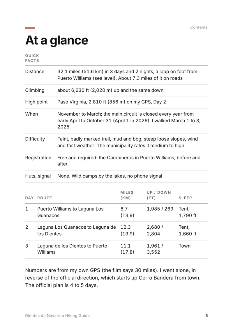
At a glance page from the Dientes de Navarino Hiking Guide
At a glance
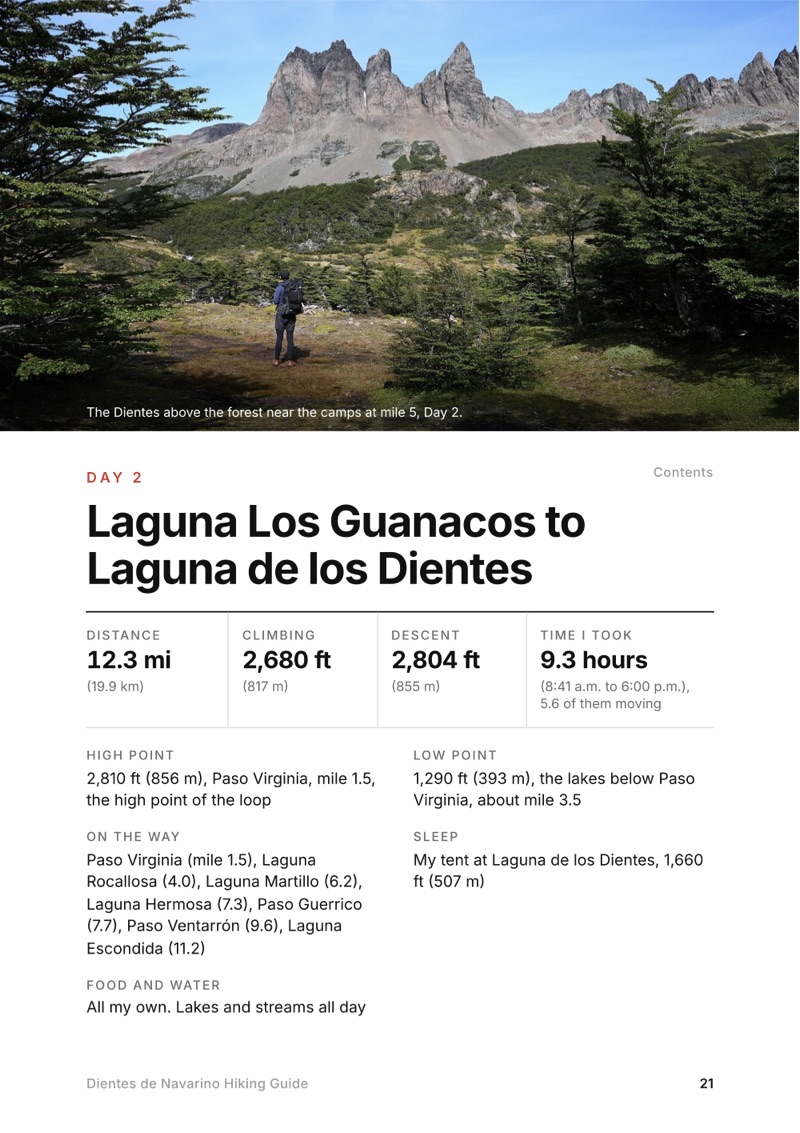
A day page page from the Dientes de Navarino Hiking Guide
A day page
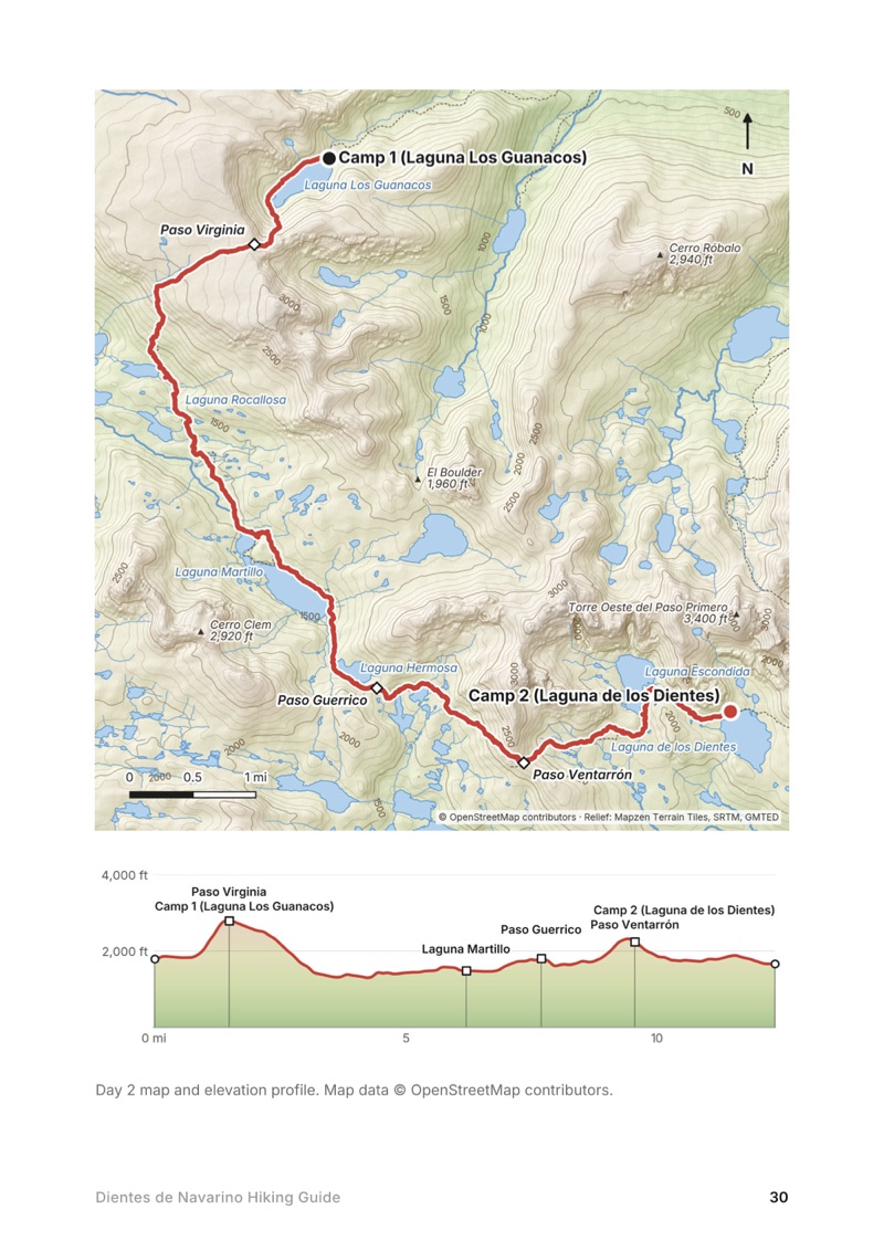
A day map and elevation profile page from the Dientes de Navarino Hiking Guide
A day map and elevation profile
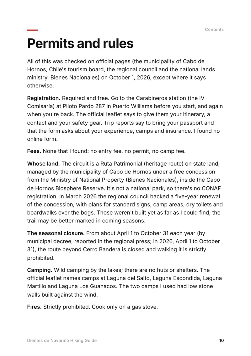
Permits and rules page from the Dientes de Navarino Hiking Guide
Permits and rules

The details

Format
A 47-page PDF sized for a phone (A5, prints fine too) and a folder of GPX files, in one zip download.
Edition
2027 season edition, updated October 2026.
Delivery
Instant. After you pay you get a private download link. Bookmark it to download again on any device.
Payment
Secure checkout through Stripe. The price is in US dollars, and sales tax or VAT is added where it applies.
Questions
Email kraig@kraigadams.com.
$19

Questions

How long is the Dientes de Navarino circuit?
My loop from Puerto Williams and back was 32.1 miles (51.6 km) on my GPS, with about 6,630 ft of climbing, in three days in March 2025. About 24.7 miles of it is trail; the rest is road at each end. The official leaflet gives about 41 km of trail and plans 5 days; the municipality says 4 to 5 days.
Do you need a permit for Dientes de Navarino?
There's no permit or fee, but registering with the Carabineros in Puerto Williams (Piloto Pardo 287) before you start and again when you're back is mandatory.
When is the Dientes de Navarino circuit open?
From November 1 to about the end of March. The main section is closed by municipal decree every year from early April to October 31; in 2026 the closure ran April 1 to October 31. The official leaflet says December to February is best.
Is the Dientes de Navarino trail marked?
Poorly. The official leaflet calls it poorly marked and intermittent, with cairns on the passes and paint marks on trees in the last forest. Carry a GPX track offline and a backup way to navigate.
How do you get to Puerto Williams?
Aerovías DAP flies from Punta Arenas (in 2026 on Mondays, Wednesdays, Thursdays and Fridays) with a 10 kg hold baggage limit on this route. The Yaghan ferry from Punta Arenas takes about 30 hours, and in season boats cross from Ushuaia to Puerto Navarino with a van to town. You can't fly with stove gas; buy it in Puerto Williams.
Is there phone signal on the Dientes de Navarino?
No. The municipality says the route has no phone signal, no shelters and no permanent patrols, and that you need satellite gear such as an inReach, a VHF radio or a satellite phone.
More guides

All guides
Sawtooth Wilderness Loop, Sawtooth Wilderness, Idaho

Sawtooth Wilderness, Idaho

Sawtooth Wilderness Loop

3 days · 71 miles · tent, a loop

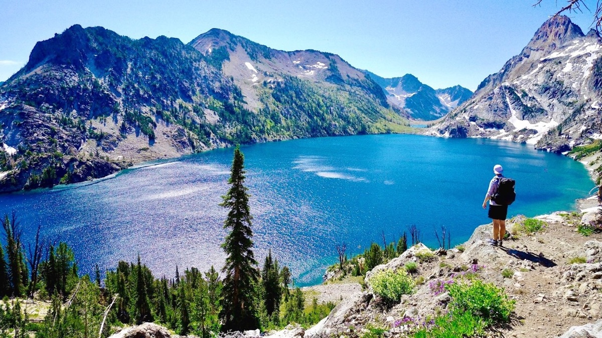
A loop through Idaho's Sawtooth Wilderness from Grandjean past Sawtooth Lake, the Baron Lakes, the Cramer Lakes and the Ten Lake Basin, back down the South Fork Payette. The Grandjean start is closed through December 31, 2026; the guide covers the closure and the ways in from the Stanley side.

  • All three days
  • My GPX files
  • The 2026 closure
  • Permits and rules

See the guide: Sawtooth Wilderness Loop · $19

Choquequirao, Apurímac canyon, Peru

Apurímac canyon, Peru

Choquequirao

3 days · 29 miles · tent, no guide

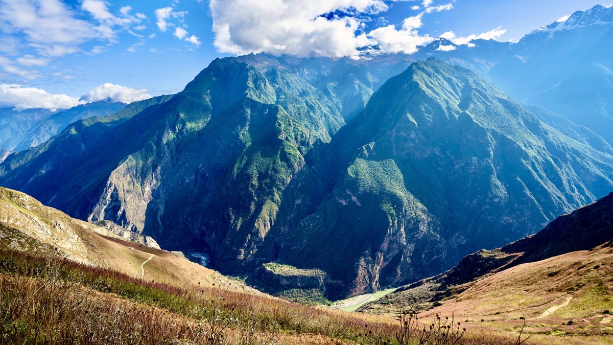
From Capuliyoc above Cachora down into Peru's Apurímac canyon, up to the Inca site of Choquequirao and back.

  • All three days
  • My GPX files
  • The park
  • Getting there

See the guide: Choquequirao · $19

Santa Cruz Trek, Cordillera Blanca, Peru

Cordillera Blanca, Peru

Santa Cruz Trek

3 days · 31 miles · tent, no guide

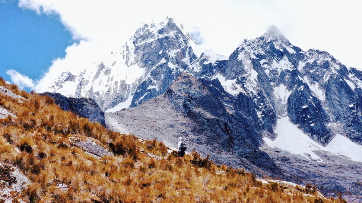
From Vaquería over the Punta Unión pass and down the Santa Cruz valley to Cashapampa, in Peru's Cordillera Blanca.

  • All three days
  • My GPX files
  • The park
  • Getting there

See the guide: Santa Cruz Trek · $19

Get the next guide

I'm making guides for more of my hikes, and I host a group trip about once a year. Get an email when a new guide or trip is out. A few emails a year.