Goat Rocks Wilderness, Washington · 3 days · 39 miles · tent, wild camps

Goat Rocks Hiking Guide

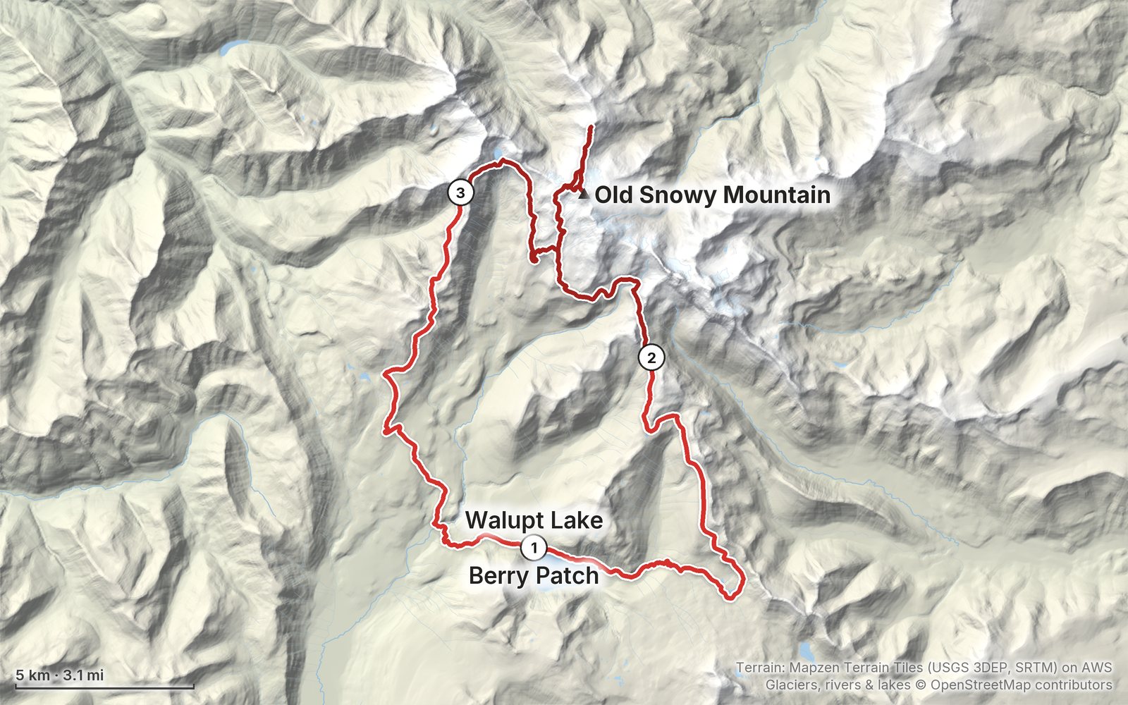
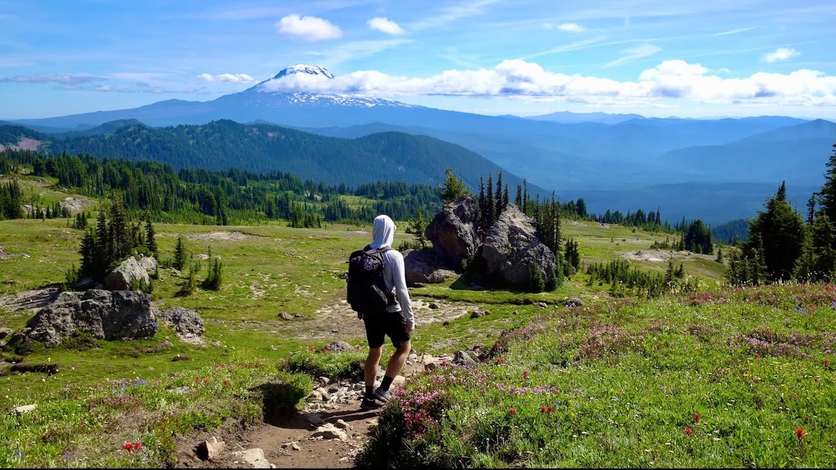
In August 2020 I backpacked a 40-mile loop alone in the Goat Rocks Wilderness in Washington: from Walupt Lake up to the Pacific Crest Trail, over Cispus Pass, to the top of Old Snowy Mountain, out along the Knife's Edge, down to Goat Lake, and back over Goat Ridge, with Mount Adams in view most of the way. It's the trip from my film Hiking 40 miles on the Goat Rocks Loop in Washington. This guide has my GPS files, maps and notes for every day, the free permit and the camping and fire rules in 2026, the drive in from Packwood, water and snow, and what I carried and ate.

$19Watch the film
The cover of the Goat Rocks Hiking Guide

What's inside

Look inside

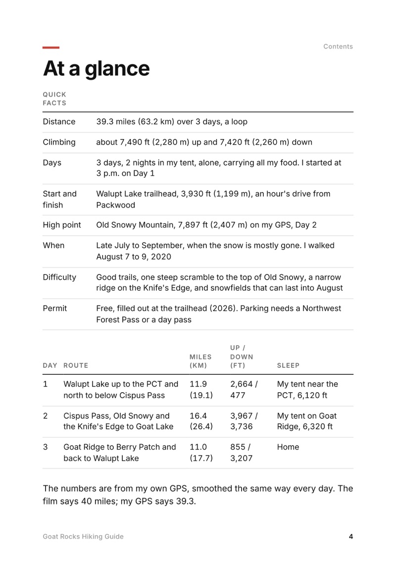
At a glance page from the Goat Rocks Hiking Guide
At a glance
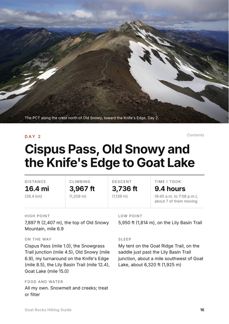
A day page page from the Goat Rocks Hiking Guide
A day page
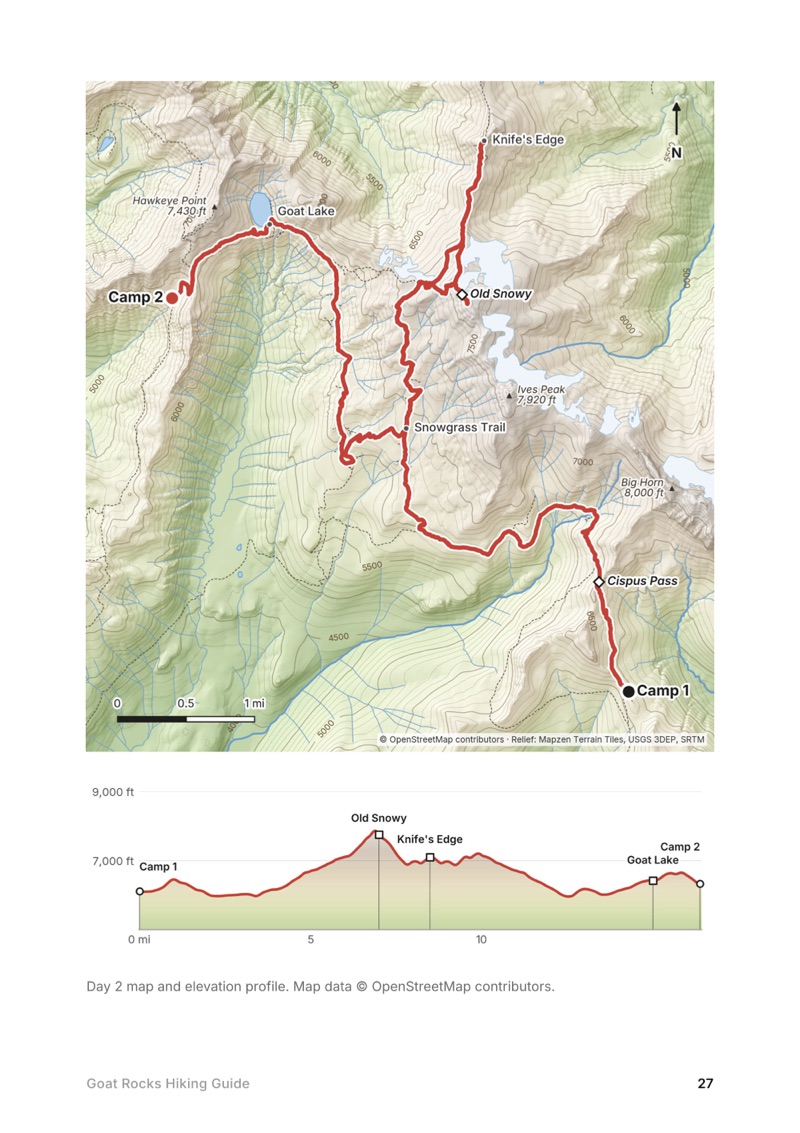
A day map and elevation profile page from the Goat Rocks Hiking Guide
A day map and elevation profile
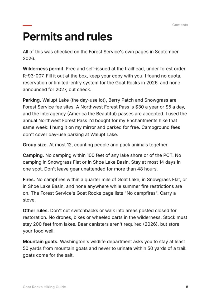
Permits and rules page from the Goat Rocks Hiking Guide
Permits and rules

The details

Format
A 41-page PDF sized for a phone (A5, prints fine too) and a folder of GPX files, in one zip download.
Edition
2027 season edition, updated September 2026.
Delivery
Instant. After you pay you get a private download link. Bookmark it to download again on any device.
Payment
Secure checkout through Stripe. The price is in US dollars, and sales tax or VAT is added where it applies.
Questions
Email kraig@kraigadams.com.
$19

Questions

How long is the Goat Rocks loop?
My loop from Walupt Lake was 39.3 miles on my GPS (the film says 40), with about 7,490 ft of climbing, over three days in August 2020: up to the PCT and north below Cispus Pass, then Old Snowy, the Knife's Edge and Goat Lake, then down Goat Ridge to Berry Patch and back to Walupt Lake.
Do you need a permit for the Goat Rocks Wilderness?
In 2026 the wilderness permit is free and you fill it out yourself at the trailhead; there's no quota or reservation. You also need a parking pass at Walupt Lake, Berry Patch and Snowgrass: a Northwest Forest Pass ($30 a year or $5 a day) or an Interagency pass.
Can you camp at Goat Lake?
Yes, but not within 100 feet of the shore, and campfires are banned within a quarter mile of the lake. Camping is also banned within 100 feet of the PCT and anywhere in Snowgrass Flat. When I was there in August 2020 the lake was still frozen and very crowded.
How high is Old Snowy Mountain?
My GPS read 7,897 ft (2,407 m) on top, the high point of my loop. It's a short scramble off the PCT's Old Snowy Alternate, with a very small top.
When is the best time to hike the Goat Rocks?
Late July to September. The Forest Service says the high trails usually melt out by mid-July and snowfields can last into August; the busiest months are August and September. I went August 7 to 9, 2020, and still crossed snow near Old Snowy.
Is the Knife's Edge in Goat Rocks dangerous?
The Forest Service calls the PCT between Elk Pass and the Packwood Glacier narrow, rugged and treacherous. It's exposed, with loose rock and snow early in the season. I went out along it in good weather and turned back partway. Skip it in wind, storms or snow.
More guides

All guides
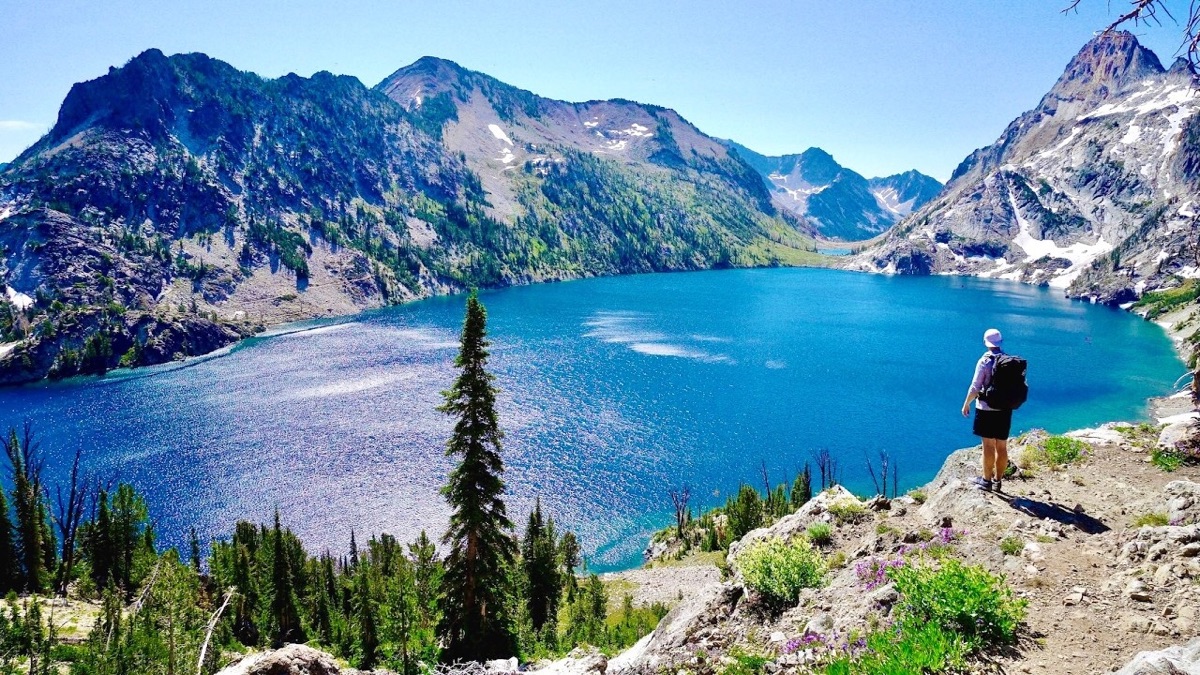
Sawtooth Wilderness Loop, Sawtooth Wilderness, Idaho

Sawtooth Wilderness, Idaho

Sawtooth Wilderness Loop

3 days · 71 miles · tent, a loop

A loop through Idaho's Sawtooth Wilderness from Grandjean past Sawtooth Lake, the Baron Lakes, the Cramer Lakes and the Ten Lake Basin, back down the South Fork Payette. The Grandjean start is closed through December 31, 2026; the guide covers the closure and the ways in from the Stanley side.

  • All three days
  • My GPX files
  • The 2026 closure
  • Permits and rules

See the guide: Sawtooth Wilderness Loop · $19

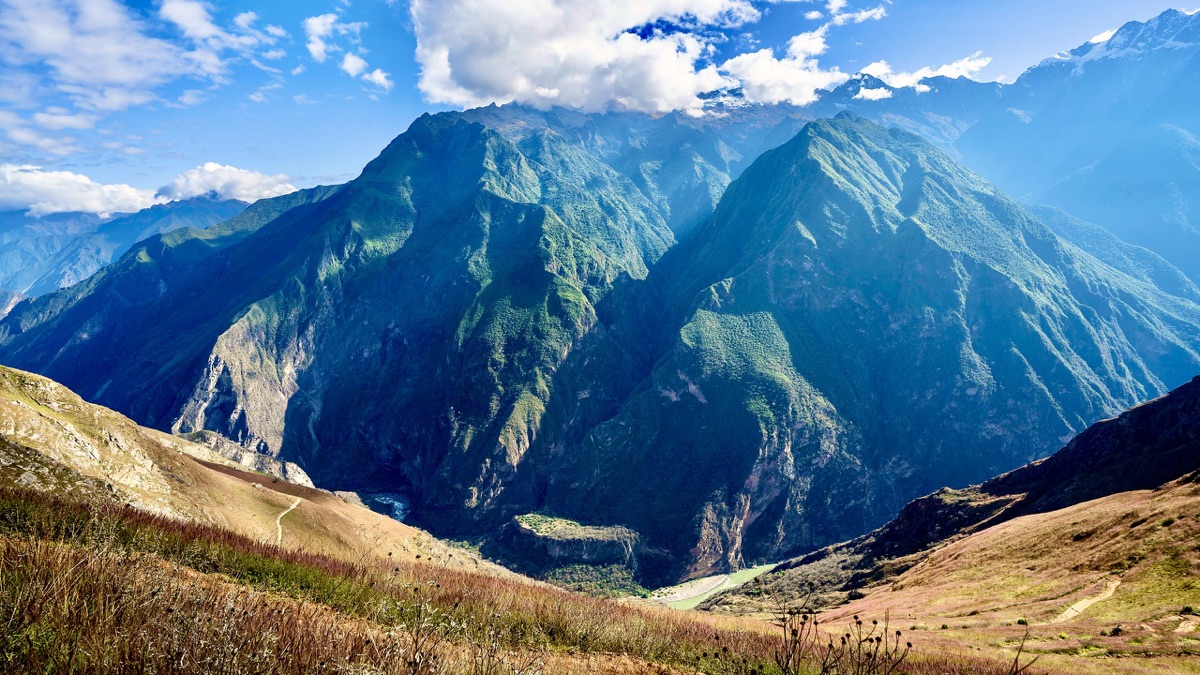
Choquequirao, Apurímac canyon, Peru

Apurímac canyon, Peru

Choquequirao

3 days · 29 miles · tent, no guide

From Capuliyoc above Cachora down into Peru's Apurímac canyon, up to the Inca site of Choquequirao and back.

  • All three days
  • My GPX files
  • The park
  • Getting there

See the guide: Choquequirao · $19

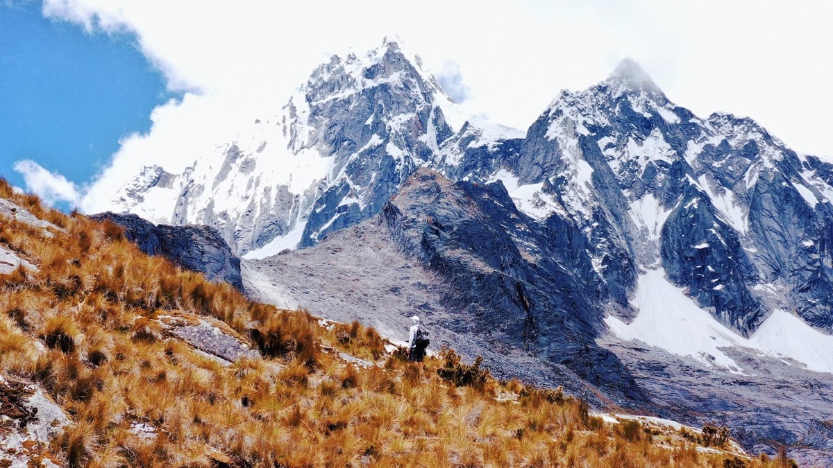
Santa Cruz Trek, Cordillera Blanca, Peru

Cordillera Blanca, Peru

Santa Cruz Trek

3 days · 31 miles · tent, no guide

From Vaquería over the Punta Unión pass and down the Santa Cruz valley to Cashapampa, in Peru's Cordillera Blanca.

  • All three days
  • My GPX files
  • The park
  • Getting there

See the guide: Santa Cruz Trek · $19

Get the next guide

I'm making guides for more of my hikes, and I host a group trip about once a year. Get an email when a new guide or trip is out. A few emails a year.