The Salkantay Trek film: Cusco region, Peru

Cusco region, Peru · 4 days · 42 miles

Salkantay Trek Hiking Guide

4 days over the Salkantay Pass to Machu Picchu.

Watch the film · 366K views
Free sample
  • 366K YouTube views
  • Instant PDF + GPX
  • 30-day refund
  • Free updates

Look inside

Real pages from the guide. Tap one to see it big.

  • A day page page from the Salkantay Trek Hiking Guide
    A day page
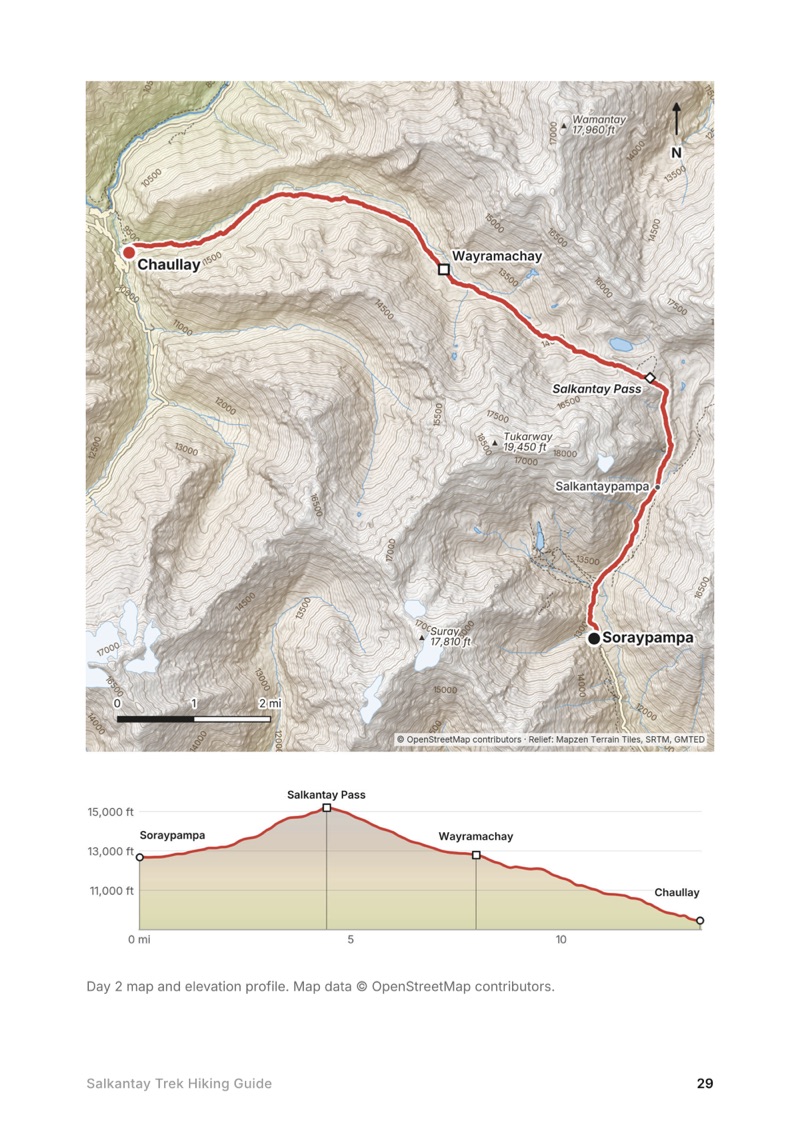
  • A day map and elevation profile page from the Salkantay Trek Hiking Guide
    A day map and elevation profile
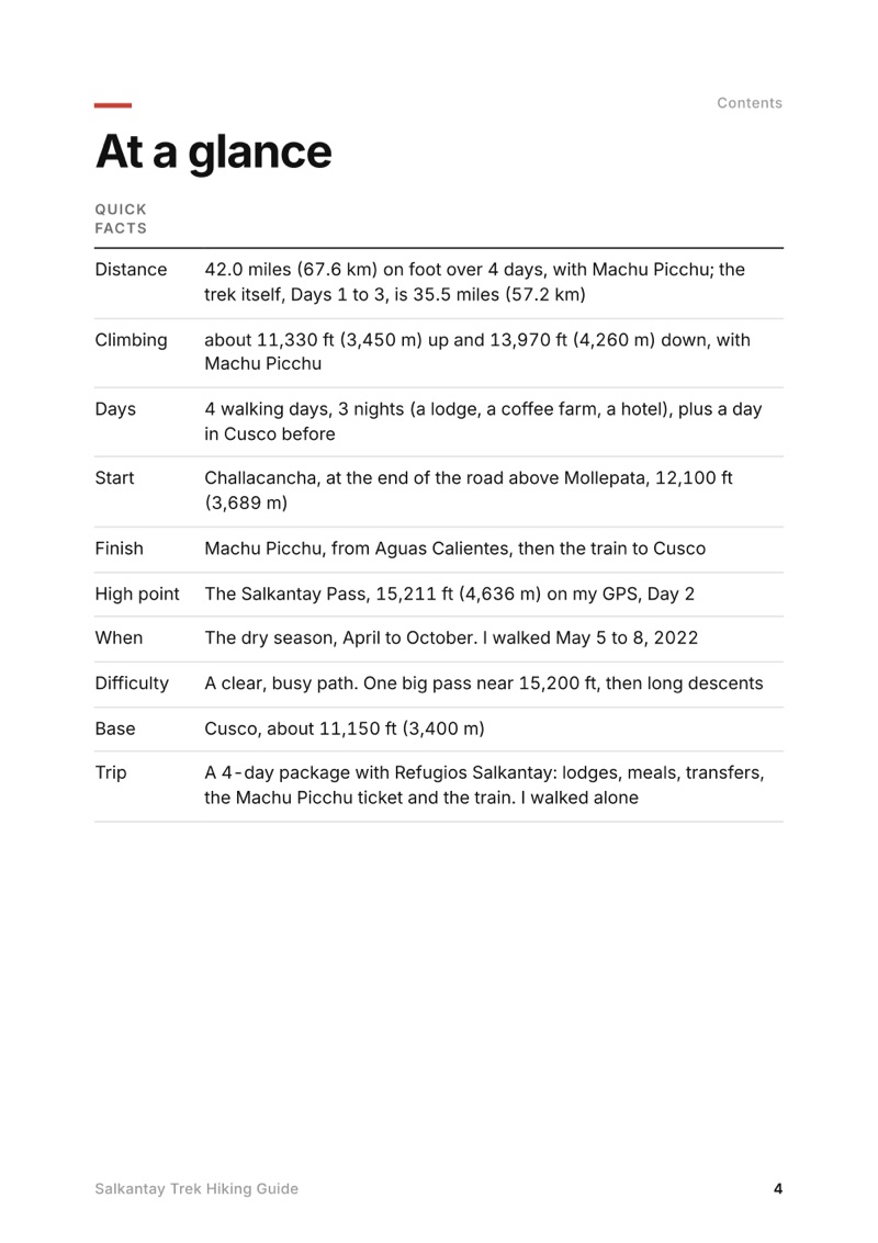
  • At a glance page from the Salkantay Trek Hiking Guide
    At a glance
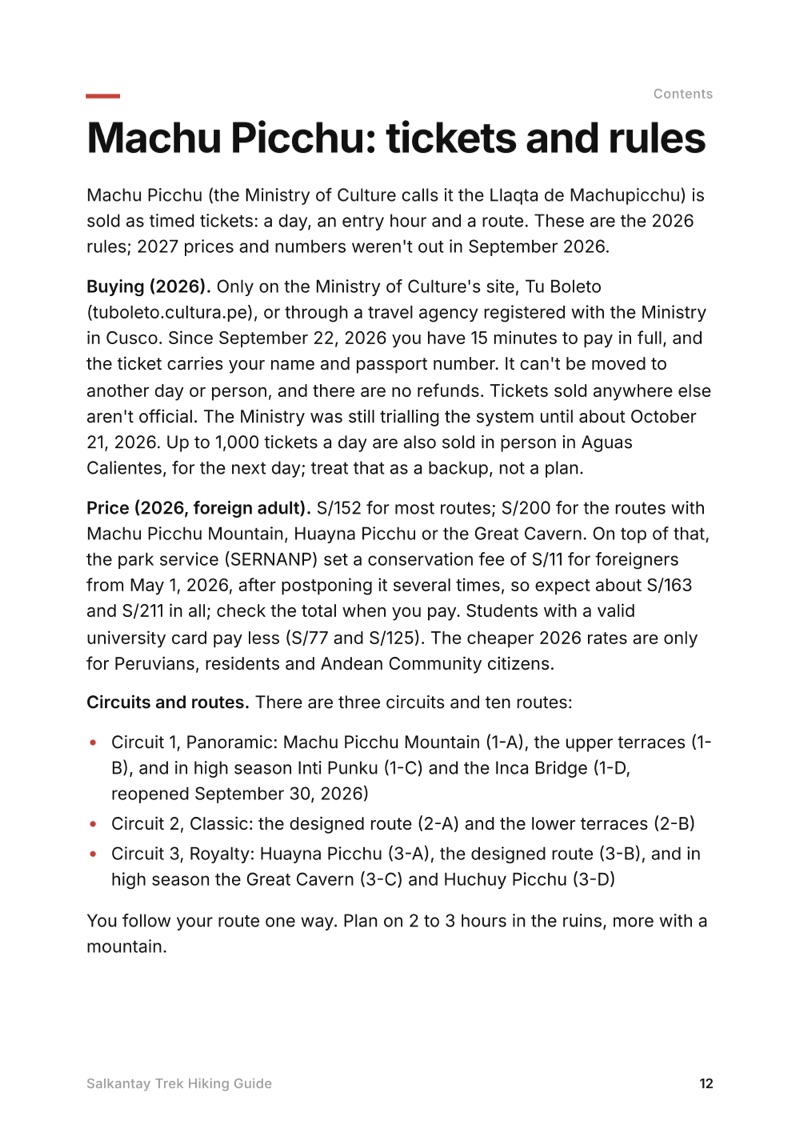
  • Machu Picchu: tickets and rules page from the Salkantay Trek Hiking Guide
    Machu Picchu: tickets and rules

Swipe for more pages

Get Day 2 free

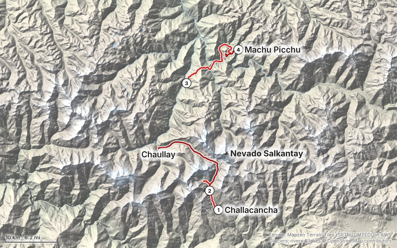
The route

My GPS recording of 4 days on a relief map. The numbers are where each day starts; the red dot is the finish. The full GPX files and the day maps come with the guide.

Relief map of the Salkantay Trek route: 4 days drawn in red with numbered day starts, labelled Challacancha, Machu Picchu, Nevado Salkantay and Chaullay.
Day 1Day 2Day 3Day 4Highest 15,210 ft (4,636 m)

Elevation, start to finish: highest 15,210 ft (4,636 m), lowest 5,860 ft (1,785 m).

Map data: Terrain: Mapzen Terrain Tiles (SRTM, GMTED) on AWS · Glaciers, rivers & lakes © OpenStreetMap contributors

At a glance

Days
4 days
Distance
42 miles
Climbing
About 11,330 ft (3,450 m) up
Season
The dry season, April to October
Route
Challacancha to Machu Picchu

What's inside

  • All four days. Stats, the time I took, my notes, the trail, where to get off, a map with an elevation profile, and links to that day in my film.
  • My GPX files. My own recordings for each day, Humantay Lake, Machu Picchu and my Cusco acclimatization hike, with waypoints for the places in the guide, ready for AllTrails, Gaia GPS, Garmin or Organic Maps.
  • Machu Picchu. How the 2026 tickets, circuits, entry times and rules work, and walking up from Aguas Calientes or taking the bus.
  • With a company or on your own. What my 4-day package included, what's allowed in 2026 without a guide, and the local fees.
  • Altitude. Every sleeping height from my GPS, how the trek compares with the CDC's rules of thumb, and my day hike out of Cusco to almost 14,000 ft.
  • Getting there and back. Cusco to Mollepata and the trailhead, the road I skipped, the railway from Hidroeléctrica, and the trains back to Cusco.
  • Before you go and a trip sheet. One page of year-to-year checks and a printable one-page summary of the whole trek.

About this trip

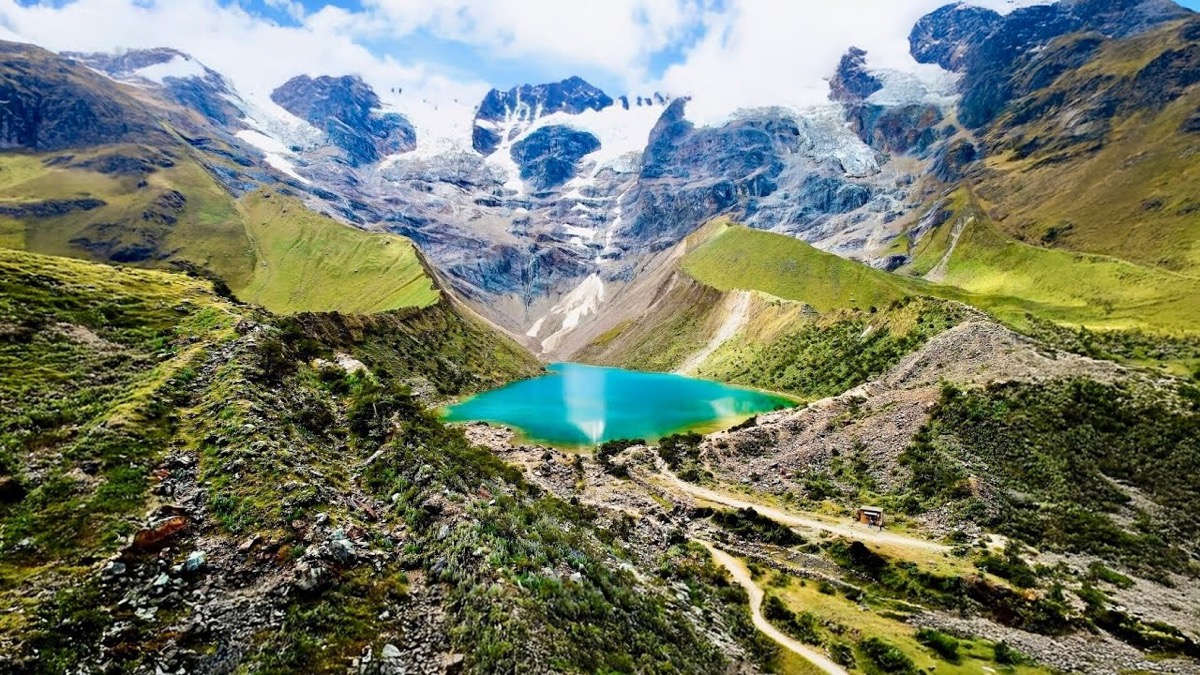
In May 2022 I hiked the Salkantay Trek to Machu Picchu: from Challacancha above Mollepata to the lodges at Soraypampa and Humantay Lake, over the Salkantay Pass, down into the cloud forest and the coffee farms, over Llactapata to Aguas Calientes, and up to Machu Picchu. 42 miles on foot in four days. It's the trip from my film Hiking 40 miles on the Salkantay Trek in Peru. This guide has my GPS files, maps and notes for every day, how Machu Picchu tickets and circuits work in 2026, going with a company or on your own, my acclimatization hike from Cusco, and the trains back.

Watch the film on YouTube (366K views).

Gear for this route

Paid links: I earn a commission if you buy through these links, at no extra cost to you. As an Amazon Associate I earn from qualifying purchases.

The company's lodges and cooks meant I didn't carry a tent, a stove or food for the trail in 2022, and I left a duffel at my hotel in Cusco. Here's what I had, what I'd take now, and what I filmed with.

What I carried in 2022

From the film and my photos. No brands, so no links.

  • Sun shirta hooded sun shirt, a cap and sunglasses
  • Rain jacketa rain jacketI had rain and mist on Day 3 and at Machu Picchu.
  • Layerswarm layers for the lodge
  • Phonean iPhone 12 Pro MaxAllTrails each day, a podcast for the railway.

What I'd take now

What I'd bring for this trek from my current kit.

Filming kit

What I filmed this trip with in 2022. My setup is smaller now (below). Drones aren't allowed at Machu Picchu: see Machu Picchu: tickets and rules.

  • Cameraa camera with a wide-angle lens
  • Tripoda tripod
  • DroneDJI Air 2S Amazon now the Air 3S

What I film with now

Since September 2026 I film with a smaller setup: the Pocket 4 and the Mic 3 on the trail, and the Mini 5 Pro in the air.

Everything I carry now: my gear page.

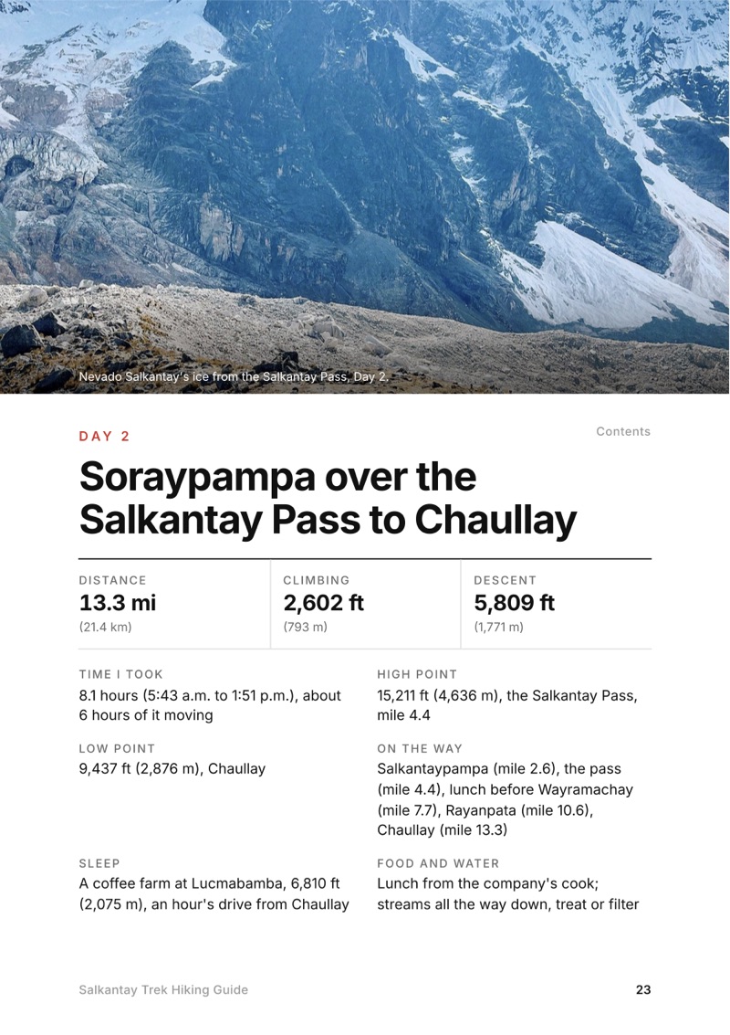
The Day 2, Soraypampa over the Salkantay Pass to Chaullay page from the Salkantay Trek Hiking Guide

Free sample + packing list

Try Day 2 free, plus my packing list

Soraypampa over the Salkantay Pass to Chaullay

The whole day page from the guide as a PDF, plus my hut-to-hut packing list: the 35 things I carry, with a note on each. The PDF opens right away and both come by email. You'll also get my emails about new guides and trips, a few a year.

The details

Format
A 56-page PDF sized for a phone (A5, prints fine too) and a folder of GPX files, in one zip download.
Edition
2027 season edition, updated September 2026.
Delivery
Instant. After you pay you get a private download link. Bookmark it to download again on any device.
Payment
Secure checkout through Stripe, in your own currency. Tax is included in the price, except in the US and Canada, where any sales tax is added at checkout.
Refunds
Not useful? Email me within 30 days for a refund: kraig@kraigadams.com.
Questions
Email kraig@kraigadams.com.

Paying in the Facebook/Instagram app? Tap ⋯ and Open in browser to use Apple Pay or Google Pay.

$19

Questions

How many days is the Salkantay Trek?
I did it in 4 days in May 2022: Challacancha to Soraypampa and Humantay Lake, over the Salkantay Pass to Chaullay, Lucmabamba over Llactapata to Aguas Calientes, and Machu Picchu on the last morning. That's 42 miles on foot on my GPS, with a car ride on the road from Chaullay to Lucmabamba. Many companies also sell 5 days. Add two days in Cusco first to acclimatize.
How high is the Salkantay Pass?
My GPS read 4,636 m (15,211 ft) at the pass. Humantay Lake is about 4,266 m on my GPS, my first night at Soraypampa was at 3,860 m (12,660 ft), and Cusco is about 3,400 m (11,150 ft).
Do you need a guide for the Salkantay Trek?
In September 2026 no permit is needed for the route over the Salkantay Pass, which isn't an Inca Trail route. But the park service's page for the Machu Picchu sanctuary says visitors must use an authorized operator, and the Ministry of Culture checks visitors at Lucmabamba on the Llactapata path and has said it will step up checks on people without guides. I went with a company for lodges, meals and transfers and walked alone.
How do you get Machu Picchu tickets for the Salkantay Trek?
In 2026 you buy a timed ticket for a day, hour and route on the Ministry of Culture's site, tuboleto.cultura.pe, and pay at once; it carries your passport number and can't be changed or refunded. A foreign adult pays S/152 for most routes and S/200 with Huayna Picchu or Machu Picchu Mountain, plus a S/11 conservation fee from May 2026.
Do you have to walk the road on the Salkantay Trek?
No. From Chaullay I took a car for an hour to the coffee farm at Lucmabamba. People walk that section, but it's a road with cars, and I don't recommend it.
When is the best time to hike the Salkantay Trek?
The dry season: the Machu Picchu sanctuary recommends April to October, and November to March is the rainy season, when landslides close parts of the route. I went May 5 to 8, 2022.
More guides

All guides
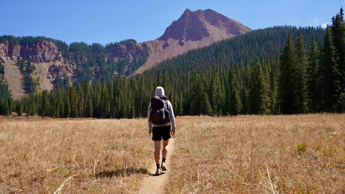
Four Pass Loop, Maroon Bells, Colorado

Maroon Bells, Colorado

Four Pass Loop

4 days · 44 miles · four passes

A loop over four passes above 12,400 ft around the Maroon Bells, from the Snowmass Creek trailhead near Aspen, Colorado.

  • All four days
  • My GPX files
  • Permits and camping
  • Two ways to start

See the guide: Four Pass Loop · $19

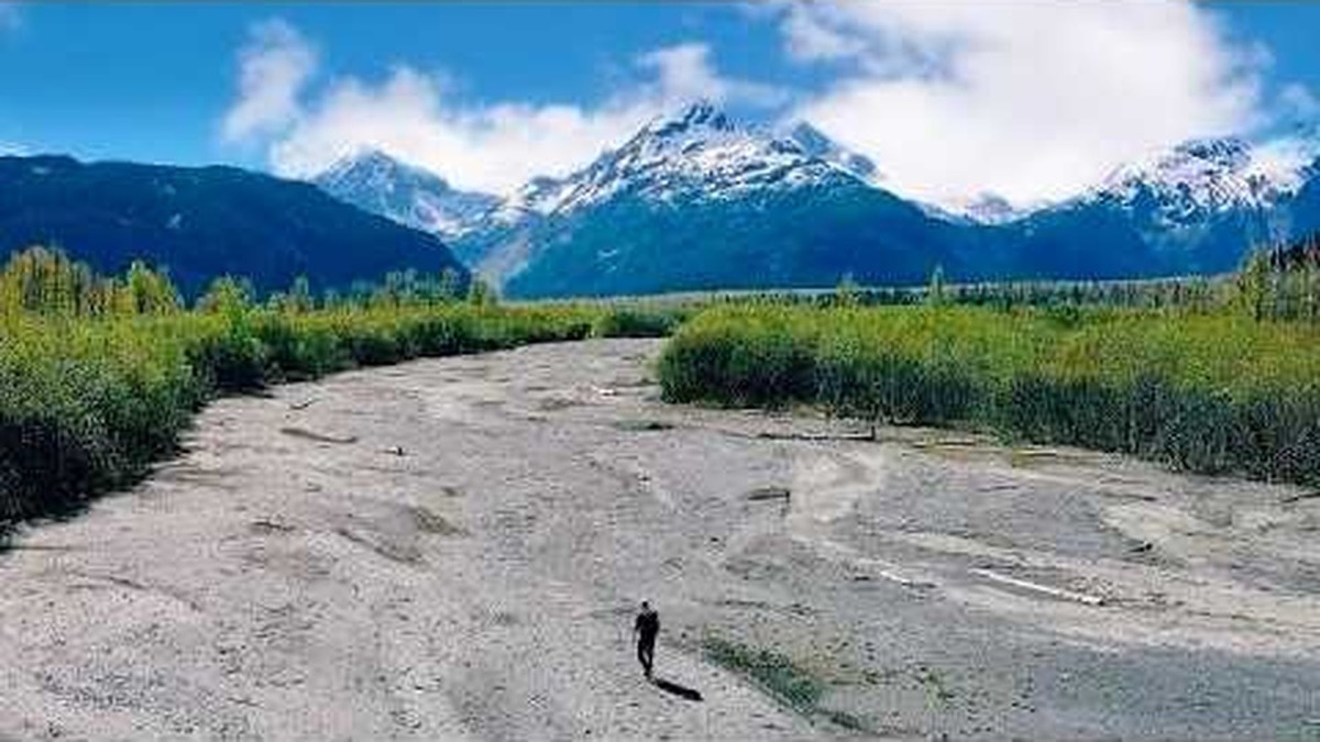
Resurrection Pass, Kenai Peninsula, Alaska

Kenai Peninsula, Alaska

Resurrection Pass

5 days · about 90 miles · solo, tent and a cabin

Hope to Seward on the Resurrection Pass, Russian Lakes and Resurrection River trails, through Cooper Landing, Kenai Peninsula, Alaska.

  • All five days
  • My GPX files
  • The cabins and camping
  • The Resurrection River Trail

See the guide: Resurrection Pass · $19

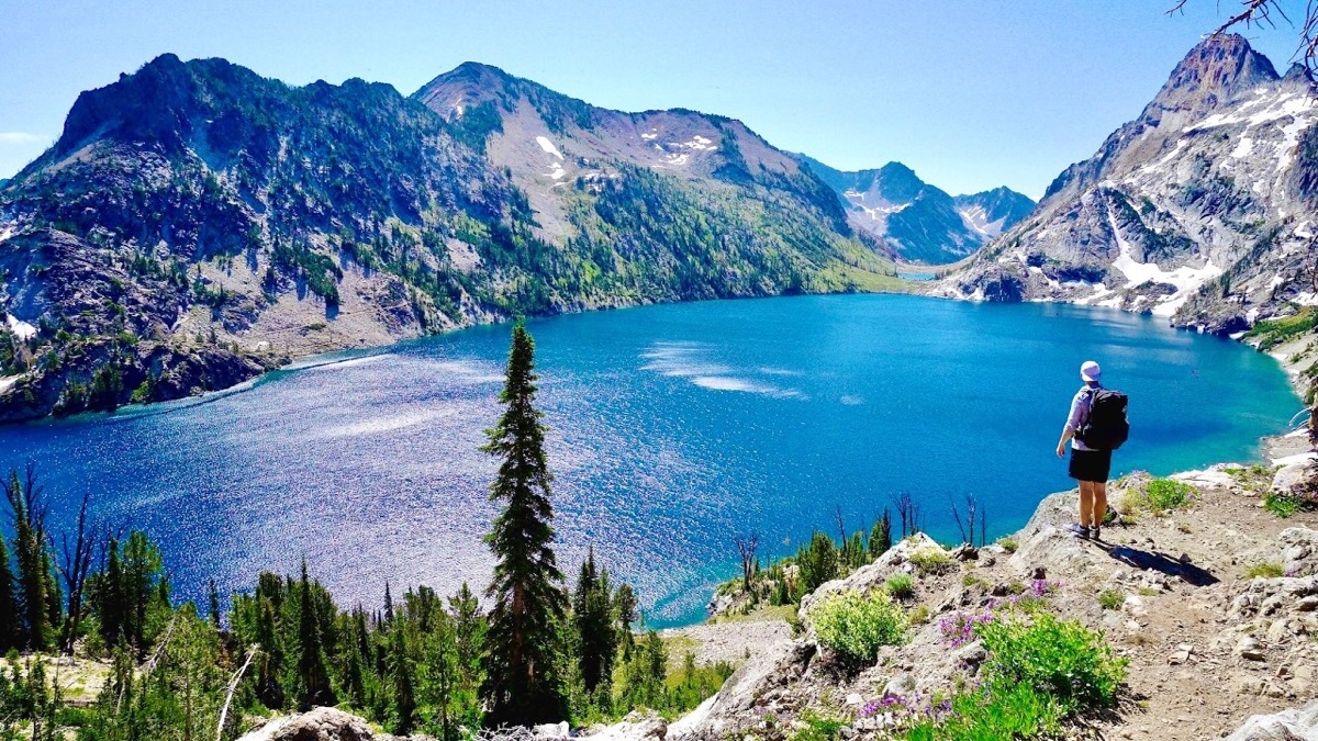
Sawtooth Wilderness Loop, Sawtooth Wilderness, Idaho

Sawtooth Wilderness, Idaho

Sawtooth Wilderness Loop

3 days · 71 miles · tent, a loop

A loop through Idaho's Sawtooth Wilderness from Grandjean past Sawtooth Lake, the Baron Lakes, the Cramer Lakes and the Ten Lake Basin, back down the South Fork Payette. The Grandjean start is closed through December 31, 2026; the guide covers the closure and the ways in from the Stanley side.

  • All three days
  • My GPX files
  • The 2026 closure
  • Permits and rules

See the guide: Sawtooth Wilderness Loop · $19

Get the next guide

I'm making guides for more of my hikes, and I host a group trip about once a year. Get an email when a new guide or trip is out. A few emails a year.

Salkantay Trek Hiking GuideInstant PDF + GPX