The San Juans 14ers film: Lake City, Colorado

Lake City, Colorado · 3 days · 32.7 miles

San Juans 14ers Hiking Guide

Uncompahgre, Wetterhorn and Handies from Lake City in 3 days.

Watch the film · 309K views
Free sample
  • 309K YouTube views
  • Instant PDF + GPX
  • 30-day refund
  • Free updates

Look inside

Real pages from the guide. Tap one to see it big.

  • A day page page from the San Juans 14ers Hiking Guide
    A day page
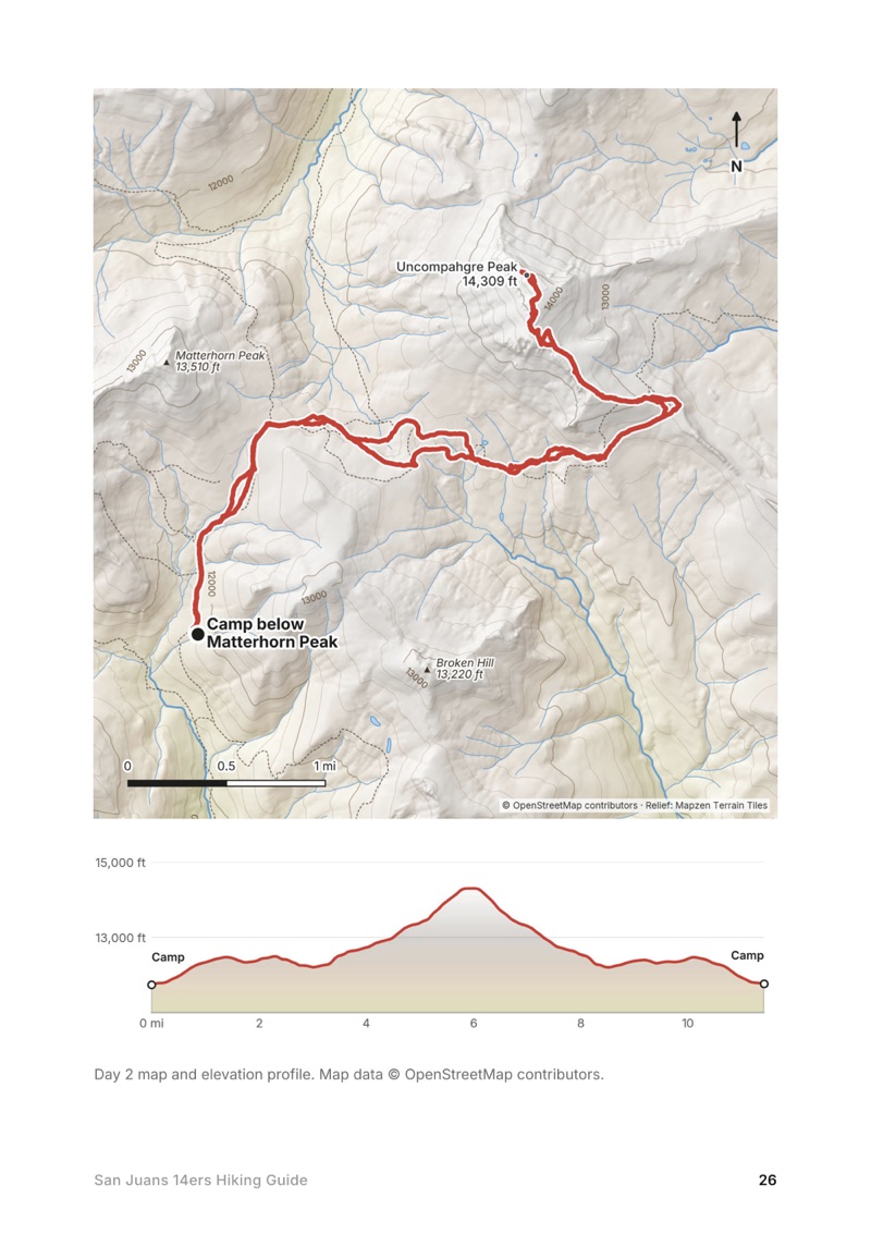
  • A day map and elevation profile page from the San Juans 14ers Hiking Guide
    A day map and elevation profile
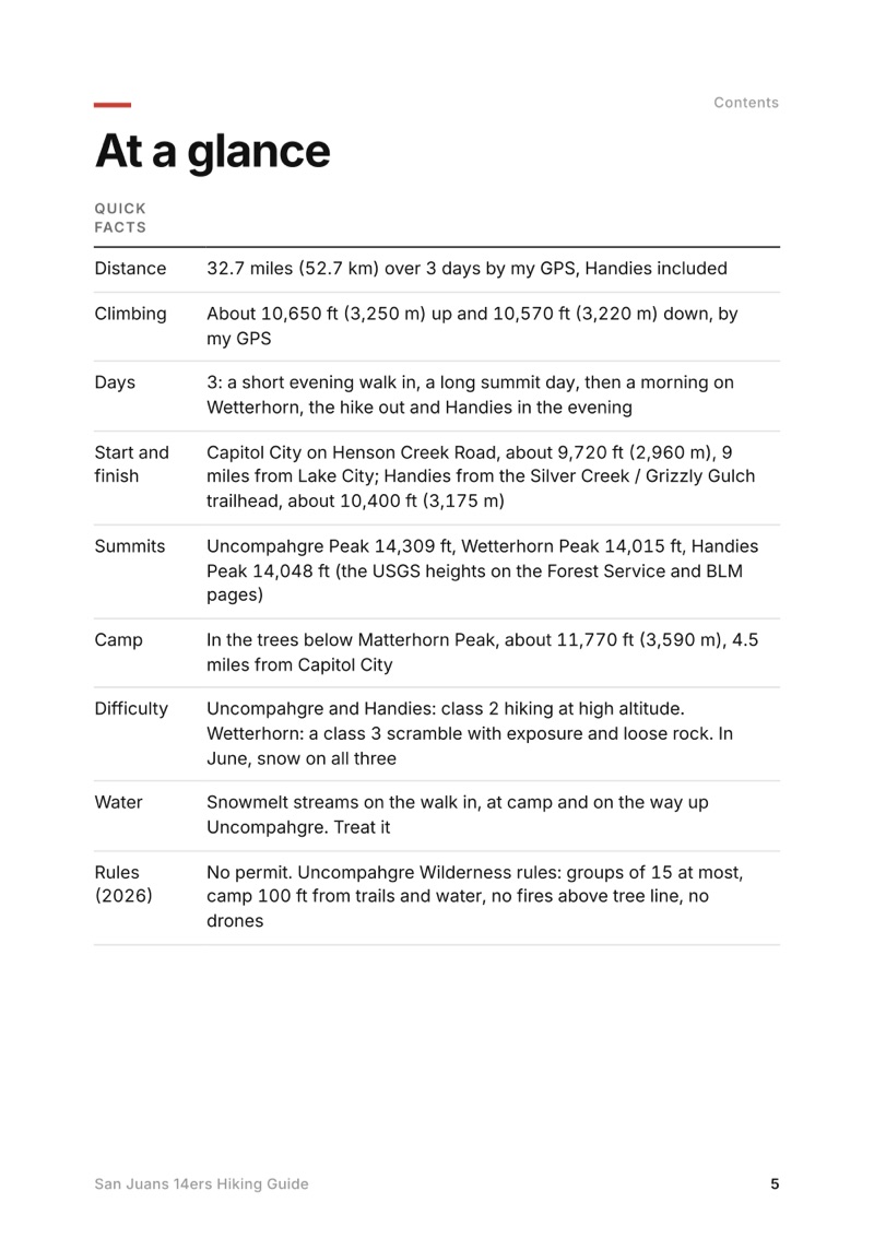
  • At a glance page from the San Juans 14ers Hiking Guide
    At a glance
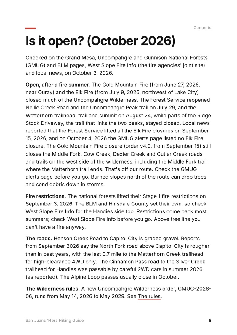
  • Is it open? (October 2026) page from the San Juans 14ers Hiking Guide
    Is it open? (October 2026)

Swipe for more pages

Get Day 2 free

The route

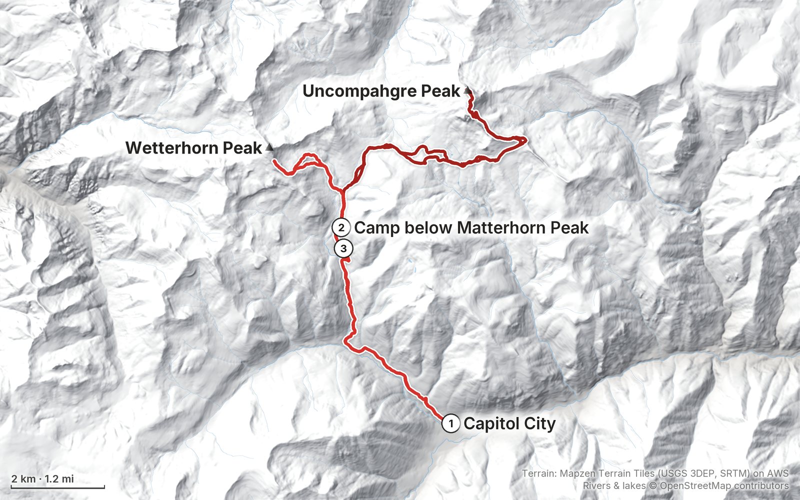
My GPS recording of 3 days on a relief map. The numbers are where each day starts; the red dot is the finish. The full GPX files and the day maps come with the guide.

Relief map of the San Juans 14ers route: 3 days drawn in red with numbered day starts, labelled Capitol City, Uncompahgre Peak, Wetterhorn Peak and Camp below Matterhorn Peak.
Day 1Day 2Day 3Highest 14,310 ft (4,363 m)

Elevation, start to finish: highest 14,310 ft (4,363 m), lowest 9,710 ft (2,960 m).

Map data: Terrain: Mapzen Terrain Tiles (USGS 3DEP, SRTM) on AWS · Rivers & lakes © OpenStreetMap contributors

At a glance

Days
3 days
Distance
32.7 miles
Climbing
About 10,650 ft (3,250 m) up
Start and end
Capitol City on Henson Creek Road

What's inside

  • Where things stand. The San Juans in October 2026: the Gold Mountain and Elk fire closures and reopenings, fire restrictions, the roads and the new Wilderness order, checked on the Forest Service and BLM pages.
  • All three days and Handies. Stats, the time we took, my notes, the route, where to turn back, maps with elevation profiles, and links to that part of my film.
  • My GPX files. My own recordings of the walk in, Uncompahgre, Wetterhorn, the hike out and Handies, plus the full route, ready for AllTrails, Gaia GPS, Garmin or Organic Maps.
  • Getting there. Flying into Gunnison or Montrose, the drive to Lake City, Henson Creek Road to Capitol City, the Matterhorn Creek road, and the Cinnamon Pass road to the Handies trailhead.
  • Other ways to do it. Uncompahgre from Nellie Creek, Wetterhorn in a day, both in one day, Handies from American Basin, and Redcloud and Sunshine.
  • Snow, lightning and safety. When to go, June snow and the ice axe, monsoon storms, altitude, Wetterhorn's scramble, and what to do with no phone signal.
  • Lake City, costs and a trip sheet. Where to sleep and eat in Lake City, Jeep rentals, what a trip costs in 2026, one page of checks and a printable summary of the route.

About this trip

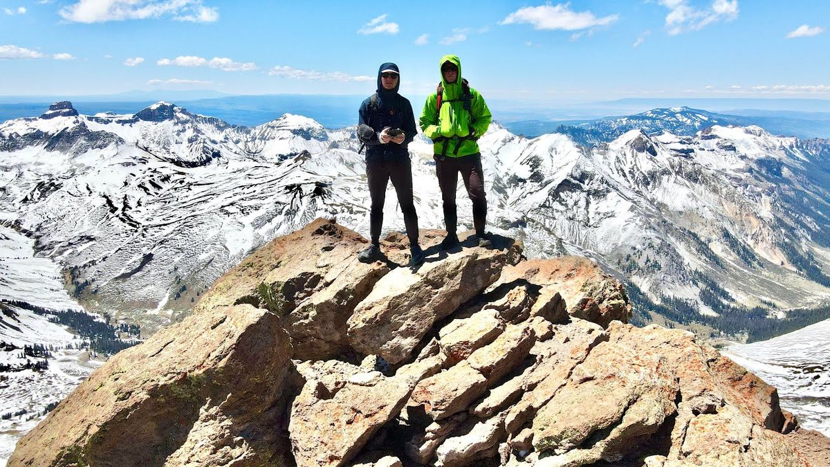
In June 2020 my younger brother Kurtis and I climbed Uncompahgre and Handies, and climbed toward Wetterhorn, in the San Juan Mountains above Lake City, Colorado: we walked in from Capitol City to a snowy camp below Matterhorn Peak, climbed Uncompahgre Peak, climbed toward Wetterhorn Peak the next morning and hiked out, then drove around to the Cinnamon Pass road and climbed Handies Peak the same evening, coming down by headlamp. It's the trip from my film Hiking 35 miles in Colorado's San Juan Mountains. This guide has my GPX files, maps and notes for every day, the 2026 fire closures and rules, the roads and trailheads, other ways to climb each peak, Lake City, costs, snow, lightning and safety, and a trip sheet.

Watch the film on YouTube (309K views).

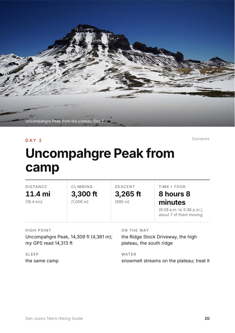
The Day 2, Uncompahgre Peak from camp page from the San Juans 14ers Hiking Guide

Free sample

Try Day 2 free

Uncompahgre Peak from camp

The whole day page from the guide, as a PDF: the photo, the numbers and what to know. It opens as soon as you sign up, and you'll get my emails about new guides and trips, a few a year.

The details

Format
A 48-page PDF sized for a phone (A5, prints fine too) and a folder of GPX files, in one zip download.
Edition
2027 season edition, updated October 2026.
Delivery
Instant. After you pay you get a private download link. Bookmark it to download again on any device.
Payment
Secure checkout through Stripe, in your own currency. Tax is included in the price, except in the US and Canada, where any sales tax is added at checkout.
Refunds
Not useful? Email me within 30 days for a refund: kraig@kraigadams.com.
Questions
Email kraig@kraigadams.com.

Paying in the Facebook/Instagram app? Tap ⋯ and Open in browser to use Apple Pay or Google Pay.

$19

Questions

Do you need a permit for Uncompahgre, Wetterhorn or Handies Peak?
No. In 2026 there was no permit, quota or trailhead fee for any of the three. The Uncompahgre Wilderness order limits groups to 15 and bans campfires above tree line, and drones are prohibited in Wilderness.
Are Uncompahgre and Wetterhorn open after the 2026 fires?
Yes, by September 2026. The Gold Mountain and Elk fires closed much of the Uncompahgre Wilderness that summer; the Uncompahgre trail reopened July 29 and Wetterhorn August 24, and local news reported the last Elk Fire closures lifted September 15. Check the GMUG alerts page before you go.
How long is the hike to Uncompahgre and Wetterhorn from Capitol City?
By my GPS, 4.5 miles from Capitol City to a camp below Matterhorn Peak, 11.4 miles round trip to Uncompahgre from there, 4.5 miles toward Wetterhorn and 4.2 miles back out. With Handies, 32.7 miles and about 10,650 ft of climbing in three days.
Do you need a 4WD for Wetterhorn and Handies?
No. Any car can reach Capitol City in summer, where we parked and walked. Only the last 0.7 mile to the upper Matterhorn Creek trailhead needs high-clearance 4WD. For Handies, careful 2WD drivers usually reach the Silver Creek / Grizzly Gulch trailhead in summer (as reported).
How hard is Wetterhorn Peak?
Harder than Uncompahgre or Handies: a class 3 scramble on an exposed ridge with loose rock near the top, where a helmet makes sense. In early June we found a steep snow gully and carried an ice axe.
When is the best time to climb the Lake City 14ers?
July to September, when the trails are mostly dry and the roads open. Afternoon storms are almost daily from mid-July to late August, so start before dawn and be off the summits by noon. In June expect snow.
More guides

All guides
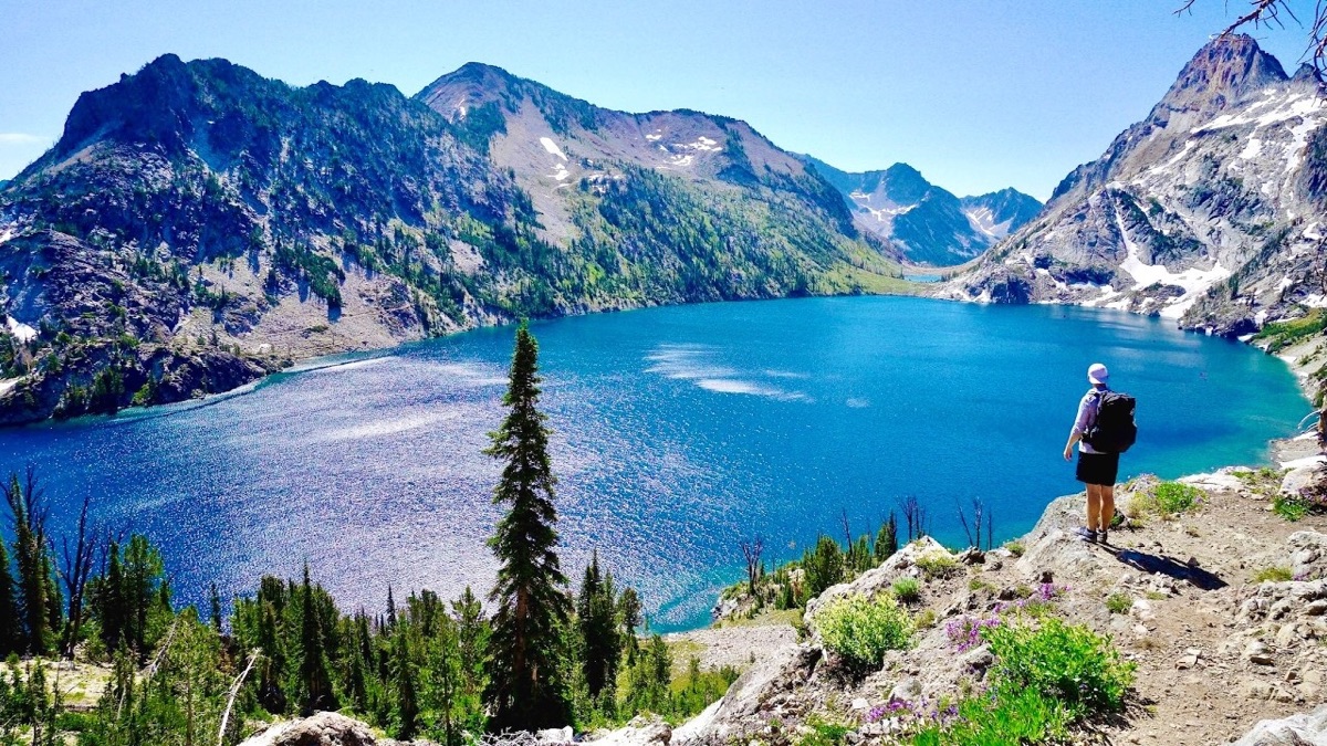
Sawtooth Wilderness Loop, Sawtooth Wilderness, Idaho

Sawtooth Wilderness, Idaho

Sawtooth Wilderness Loop

3 days · 71 miles · tent, a loop

A loop through Idaho's Sawtooth Wilderness from Grandjean past Sawtooth Lake, the Baron Lakes, the Cramer Lakes and the Ten Lake Basin, back down the South Fork Payette. The Grandjean start is closed through December 31, 2026; the guide covers the closure and the ways in from the Stanley side.

  • All three days
  • My GPX files
  • The 2026 closure
  • Permits and rules

See the guide: Sawtooth Wilderness Loop · $19

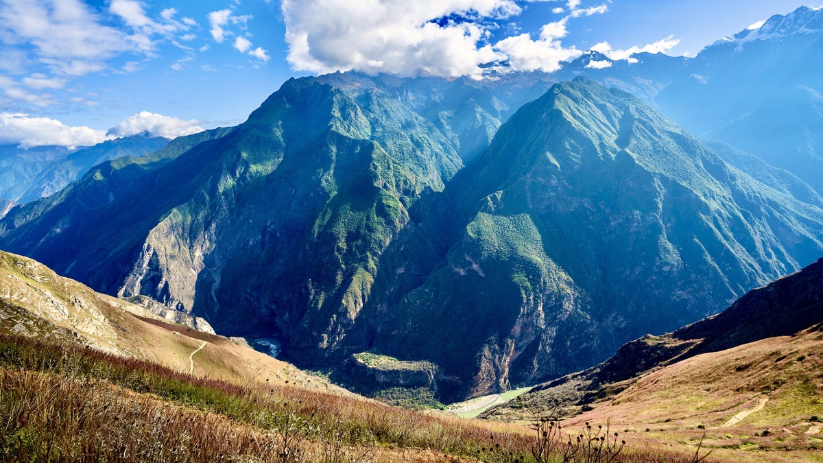
Choquequirao, Apurímac canyon, Peru

Apurímac canyon, Peru

Choquequirao

3 days · 29 miles · tent, no guide

From Capuliyoc above Cachora down into Peru's Apurímac canyon, up to the Inca site of Choquequirao and back.

  • All three days
  • My GPX files
  • The park
  • Getting there

See the guide: Choquequirao · $19

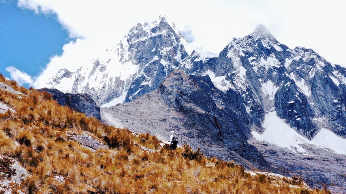
Santa Cruz Trek, Cordillera Blanca, Peru

Cordillera Blanca, Peru

Santa Cruz Trek

3 days · 31 miles · tent, no guide

From Vaquería over the Punta Unión pass and down the Santa Cruz valley to Cashapampa, in Peru's Cordillera Blanca.

  • All three days
  • My GPX files
  • The park
  • Getting there

See the guide: Santa Cruz Trek · $19

Get the next guide

I'm making guides for more of my hikes, and I host a group trip about once a year. Get an email when a new guide or trip is out. A few emails a year.

San Juans 14ers Hiking GuideInstant PDF + GPX