
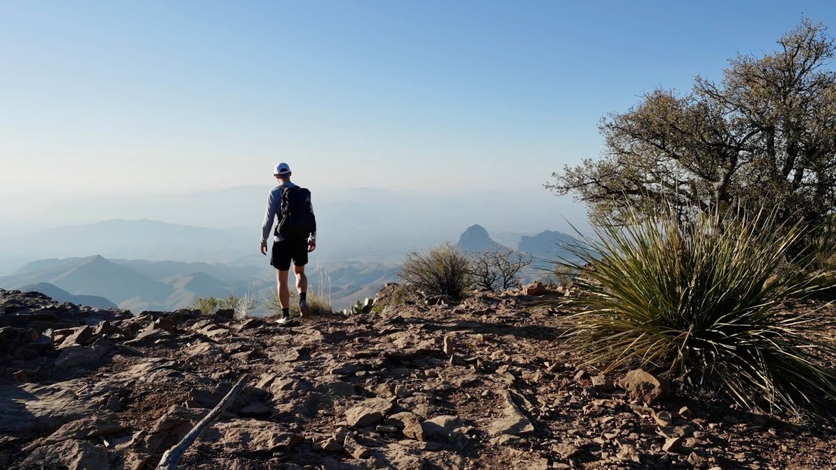
Chisos Mountains, Texas · April 2021 · Solo
Big Bend
43.5 KM · 2 DAYS · 1,600 M
Emory Peak, Boot Canyon and the South Rim in 2 days.
Watch the film 16:10 · 215K viewsAt a glance
- Where
- Chisos Mountains, Texas
- Distance
- 43.5 km (27.1 miles)
- Days
- 2: a long first day, a short morning out
- Climbing
- About 5,250 ft (1,600 m) up and down in all, by my GPS. Without my lunch trip, about 3,000 ft up
- Difficulty
- Steady climbing on good trails. The last few yards of Emory Peak are a short, exposed scramble
- Start and end
- The Chisos Basin trailhead
- When I went
- April 2021
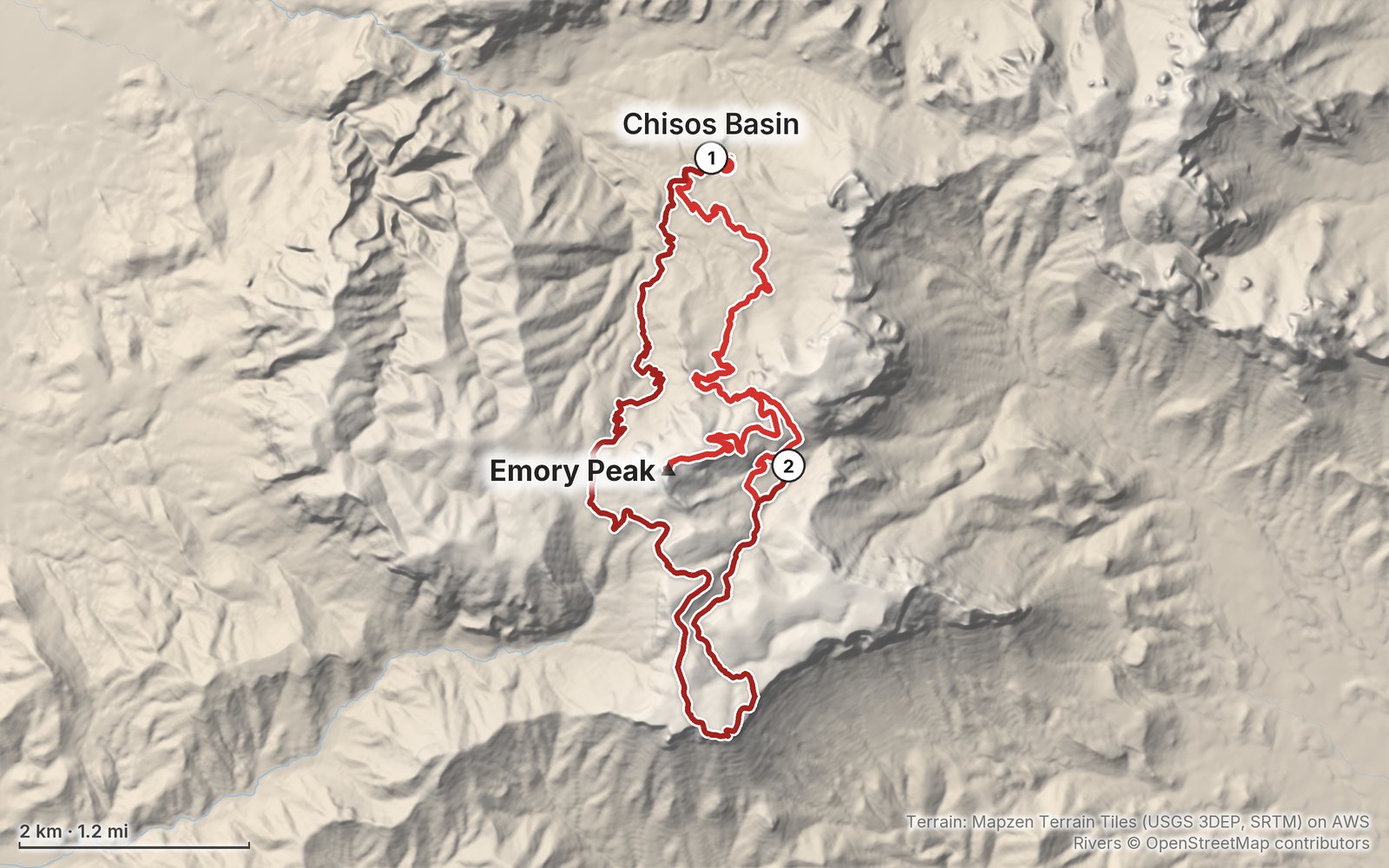
Elevation, start to finish: highest 7,800 ft (2,377 m), lowest 5,340 ft (1,628 m).
My GPS recording on a relief map. The numbers are where each day starts. The GPX files come with the guide.
Everything I made about it
The film

Photos
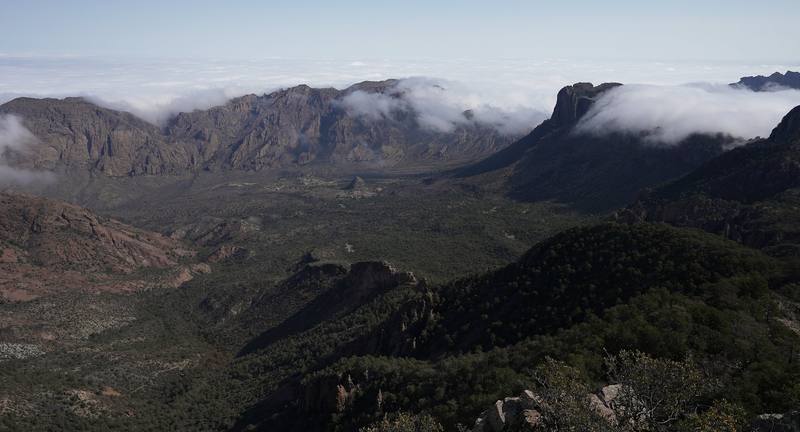
Clouds over the Chisos from Emory Peak, Day 1 at mile 5.3. 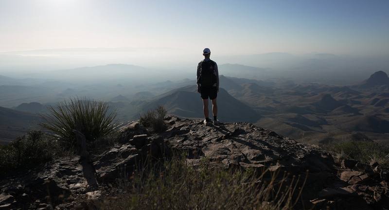
Morning on the South Rim, Day 2 at mile 2.0.
The guide · PDF + GPX files · 2027 season edition
Do it yourself
Emory Peak, Boot Canyon and the South Rim in 2 days.
- Where things stand
- Both days
- My GPX files
- The permit and the campsites
- Getting there
Free sample
Try Day 1 free
The whole Day 1, Chisos Basin to Emory Peak and Boot Canyon page from the guide as a PDF, plus my camping packing list: the 42 things I carry, with a note on each. Both come by email. You'll also get my emails about new guides and trips, a few a year.
Music in this film
- Eschaton (Tony Anderson Rework)Tony Anderson · Musicbed
What I'd take now
My current kit
The Americas and New Zealand bundle
This guide is in The Americas and New Zealand Hiking Guide Pack: 36 guides for $39. Or all 62 guides for $59.
Short answers
- How long is the South Rim loop in Big Bend?
- About 17 miles by my GPS from the Chisos Basin with the Emory Peak side trip: up the Pinnacles Trail, Emory Peak, Boot Canyon, the South Rim and down the Laguna Meadows Trail. The Park Service gives 12 to 14.5 miles for the loop without Emory Peak.
- Do you need a permit to camp in the Chisos Mountains?
- Yes: a backcountry permit for a named campsite, $10 a night. From November 1 to April 15 you can book on Recreation.gov up to six months ahead; the rest of the year permits are given in person only, up to 24 hours ahead. Day hikes need no permit, but the $30 park entrance fee applies.
- Is the Chisos Basin open in 2026?
- Yes. The planned 2026 to 2028 closure for a new lodge was cancelled on April 1, 2026. The park will put the water system work out to bid again with no dates yet, so check the park's alerts page before you go.
- Is there water in the Chisos Mountains?
- No reliable water. The Park Service says Boot Spring is usually dry. Carry at least a gallon (4 liters) a person a day from the Chisos Basin.
- How hard is Emory Peak?
- About 10.5 miles round trip from the Chisos Basin with about 2,500 ft of climbing on good trails. The last 25 ft are a short, exposed scramble on rock. Don't go up in a thunderstorm.
- When is the best time to hike Big Bend's South Rim?
- October to November and late February to April. Spring is the busiest season. July to September brings afternoon thunderstorms, and the desert is over 100 °F in summer, though the Chisos are 10 to 15 °F cooler.
I make my guides with AI, from my own films and GPS recordings. How.