
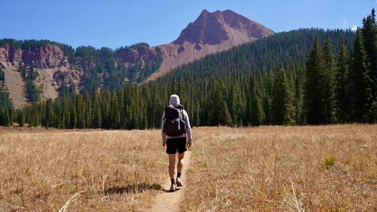
Maroon Bells, Colorado · September 2021 · Solo
Four Pass Loop
70.4 KM · 4 DAYS · 2,950 M
4 days over four passes around the Maroon Bells.
Watch the film 31:56 · 306K viewsAt a glance
- Where
- Maroon Bells, Colorado
- Distance
- 70.4 km (43.7 miles)
- Days
- 4 walking days, 3 nights in my tent. My first and last days were half days
- Climbing
- About 9,680 ft (2,950 m) up and the same down
- Season
- Mid-July to September. I walked September 25 to 28, 2021, with the aspens turning
- Difficulty
- A clear trail, but four passes above 12,400 ft, long climbs, and no way out on a road in the middle
- Start and end
- The Maroon-Snowmass Trailhead
- When I went
- September 2021
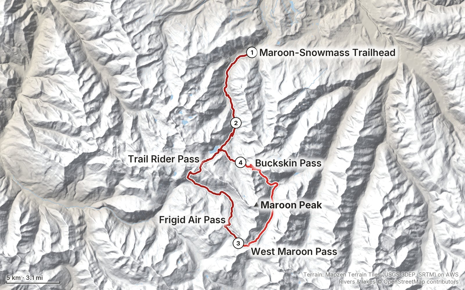
Elevation, start to finish: highest 12,570 ft (3,831 m), lowest 8,390 ft (2,558 m).
My GPS recording on a relief map. The numbers are where each day starts. The GPX files come with the guide.
Everything I made about it
The film

Photos
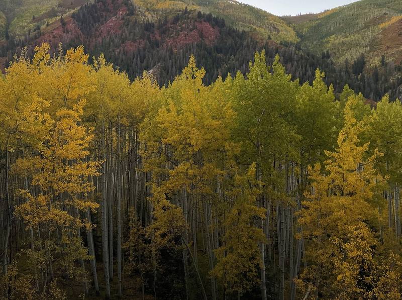
Yellow aspens above Snowmass Creek, the evening of Day 1. 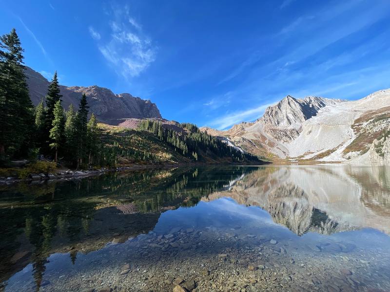
Snowmass Lake from its east shore, the morning of Day 2. 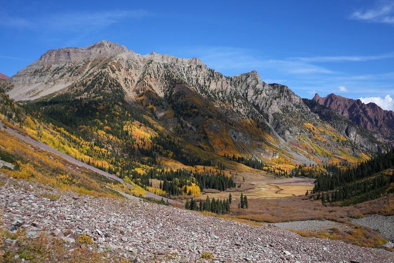
Aspens and peaks above the West Maroon Creek valley, Day 3. 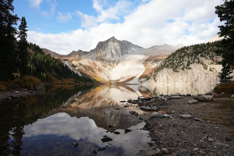
Snowmass Lake under cloud, the morning of Day 4.
The guide · 52-page PDF + GPX files · 2027 season edition
Do it yourself
4 days over four passes around the Maroon Bells.
- All four days
- My GPX files
- Permits and camping
- Two ways to start
- Altitude
Free sample
Try Day 2 free
The whole Day 2, Snowmass Lake over Trail Rider Pass and Frigid Air Pass page from the guide as a PDF, plus my camping packing list: the 42 things I carry, with a note on each. Both come by email. You'll also get my emails about new guides and trips, a few a year.
Gear on this trip
Paid links: I earn a commission if you buy through these links, at no extra cost to you. As an Amazon Associate I earn from qualifying purchases.
What I carried in 2021
- Shelter and sleepa tent and my sleeping gear
- Kitchena small stove and pot, a mug, four days of food
- Clothesa hooded shirt and shorts in the day, an orange puffy jacket and a beanie in camp
- Trekking polestrekking polesOut for the passes and the last day.
- Headlampa headlampI walked the last part of Day 1 in the dark.
- Navigationmy phoneRecording each day on AllTrails.
Filming kit
- CameraSony a7S III
- Phonean iPhone 12 Pro Max
Music in this film
- Composite 01Thrupence · Musicbed
- Composite 06Thrupence · Musicbed
What I'd take now
My current kit
The Americas and New Zealand bundle
This guide is in The Americas and New Zealand Hiking Guide Pack: 36 guides for $39. Or all 62 guides for $59.
Short answers
- How long is the Four Pass Loop?
- From Maroon Lake the loop is about 26 miles (the Forest Service's figure). I started from the Snowmass Creek trailhead, which adds about 9 miles each way: 43.7 miles in four days on my GPS, September 25 to 28, 2021.
- Do you need a permit for the Four Pass Loop?
- Yes, in 2026 you need a Recreation.gov overnight permit for each permit zone and each night you camp in it: $10 a person a night from May 1 to October 31, plus a $6 reservation fee per permit. Permits go on sale on set dates (February 15, June 15 and October 15 in 2026). Bear canisters are required.
- How high are the passes on the Four Pass Loop?
- Buckskin Pass is 12,462 ft and West Maroon Pass 12,500 ft (Forest Service). Trail Rider Pass and Frigid Air Pass are both about 12,400 ft; my GPS read 12,425 ft and 12,398 ft.
- Can you start the Four Pass Loop from Snowmass instead of Maroon Lake?
- Yes. I parked at the Maroon-Snowmass Trailhead (also called the Snowmass Creek Trailhead) at the end of Snowmass Creek Road and walked up to Snowmass Lake, about 8.8 miles, so I didn't need the Maroon Lake shuttle. In 2026 parking there is limited to about 25 spaces from August 14 to November 14 while the trailhead is rebuilt.
- Which direction should you hike the Four Pass Loop?
- I went counterclockwise from Snowmass Lake: Trail Rider, Frigid Air, West Maroon, then Buckskin. From Maroon Lake the same direction starts with Buckskin Pass.
- When is the best time to hike the Four Pass Loop?
- Mid-July to September. The Forest Service says the loop is often snow-bound from October through June. For the yellow aspens, the colors usually peak from mid-September to early October; I walked it September 25 to 28.
I make my guides with AI, from my own films and GPS recordings. How.