
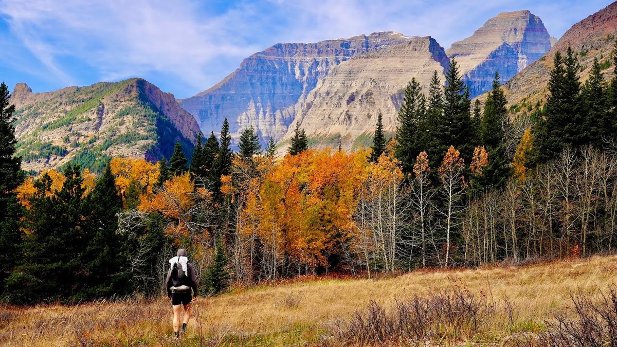
Glacier National Park, Montana · October 2024 · Solo
Glacier National Park
104.5 KM · 3 DAYS · 3,410 M
3 days over Red Gap Pass, Stoney Indian Pass and the Highline in Glacier National Park.
Watch the film 22:35 · 262K viewsAt a glance
- Where
- Glacier National Park, Montana
- Distance
- 104.5 km (64.9 miles)
- Days
- 3 days
- Climbing
- About 11,180 ft (3,410 m) up and 11,140 ft (3,400 m) down
- Season
- Summer to early fall. I walked October 10 to 12, 2024
- Difficulty
- Three passes, long days, fords in fall, grizzly country, no phone signal
- When I went
- October 2024
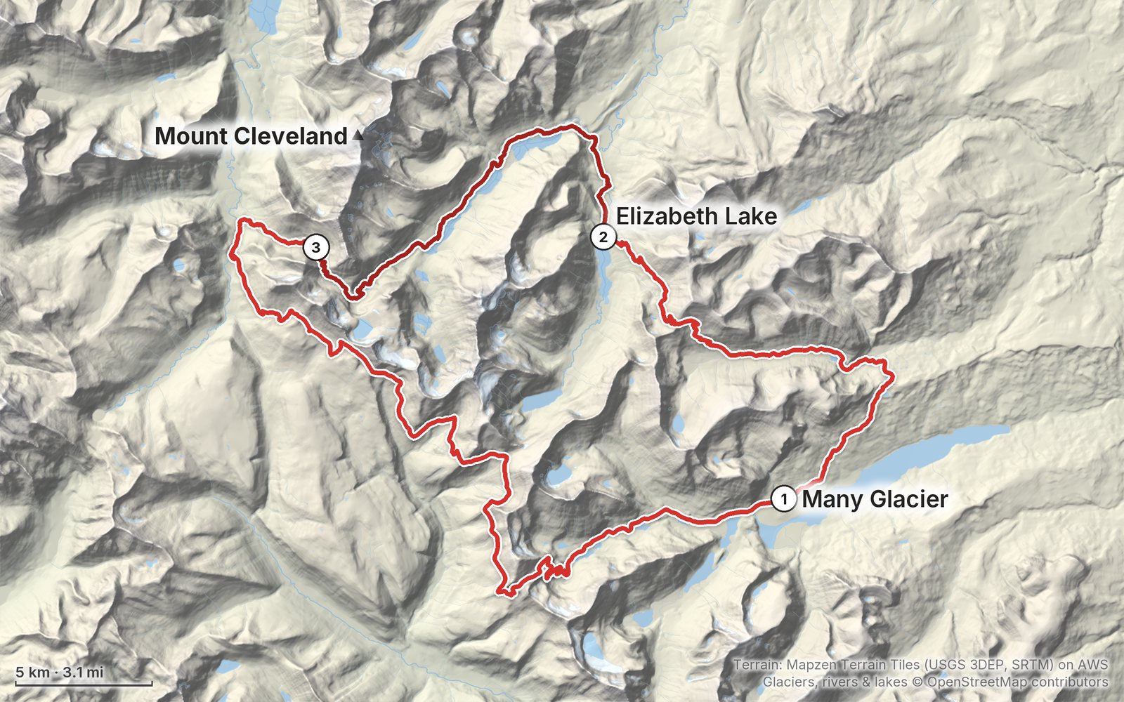
Elevation, start to finish: highest 7,530 ft (2,294 m), lowest 4,480 ft (1,364 m).
My GPS recording on a relief map. The numbers are where each day starts. The GPX files come with the guide.
Everything I made about it
The film

Photos
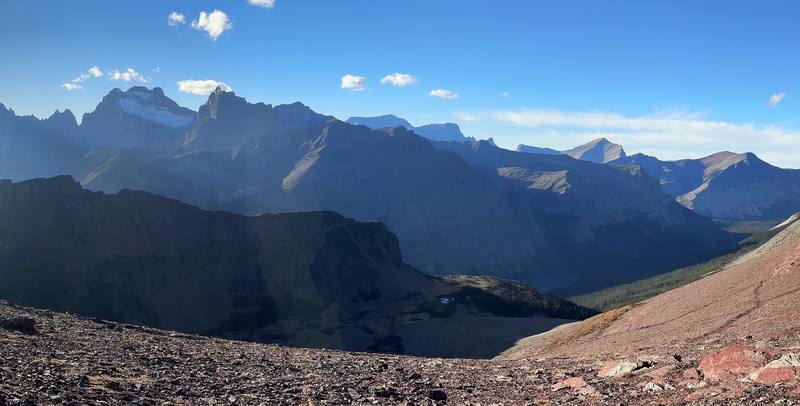
The view from Red Gap Pass, Day 1. 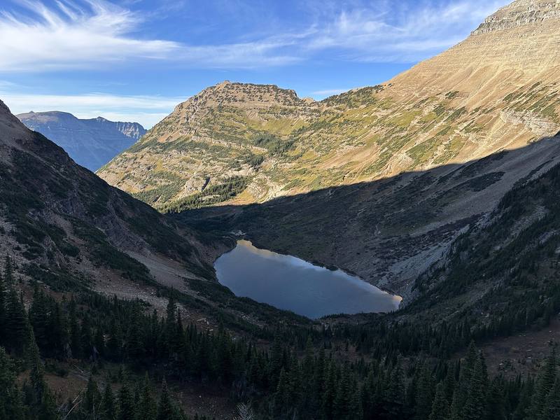
Stoney Indian Lake from Stoney Indian Pass, Day 2. 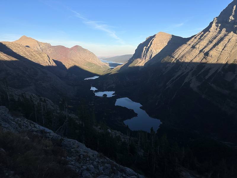
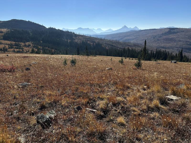
The Swiftcurrent valley lakes from below Swiftcurrent Pass, Day 3.
The guide · 49-page PDF + GPX files · 2027 season edition
Do it yourself
3 days over Red Gap Pass, Stoney Indian Pass and the Highline in Glacier National Park.
- All three days
- My GPX files
- Wilderness permits
- October, my month
- Bears and safety
Free sample
Try Day 2 free
The whole Day 2, Elizabeth Lake past Glenns Lake to Stoney Indian Pass page from the guide as a PDF, plus my camping packing list: the 42 things I carry, with a note on each. Both come by email. You'll also get my emails about new guides and trips, a few a year.
Music in this film
- Adventures in SolitudeEagle Lake · Musicbed
- Breeze (with $MASH)GXNXSIS · Musicbed
- Chasing EmbersAdam Bokesch · Musicbed
- CodaFrom Somewhere Quiet · Musicbed
- Divergence (with $MASH)GXNXSIS · Musicbed
- Essence (Ambient Version) - InstrumentalEagle Lake · Musicbed
- Every Little ThingAdam Bokesch · Musicbed
- Everything is Waiting For YouAdam Bokesch · Musicbed
- Fearless Heart (174 Hz Meditation)Adam Bokesch · Musicbed
- fleeting sorrowcoldbrew · Musicbed
- Hammock River (with $MASH)GXNXSIS · Musicbed
- HorizonsAdam Bokesch · Musicbed
- Moonlit DreamsAdam Bokesch · Musicbed
- PomegranateAdam Bokesch · Musicbed
- Radiance (with Gyatso)GXNXSIS · Musicbed
- Rainbow Quarry (Spa)Adam Bokesch · Musicbed
- Ripple EffectAdam Bokesch · Musicbed
- Shadows Aligned (3.2 Hz Delta Waves)Adam Bokesch · Musicbed
- ShelterAdam Bokesch · Musicbed
- The Unknown Mountain (Ambient Version) - InstrumentalEagle Lake · Musicbed
- There is Nothing to FearAdam Bokesch · Musicbed
- We Are Stardust (417 Hz Meditation)Adam Bokesch · Musicbed
What I'd take now
My current kit
The Americas and New Zealand bundle
This guide is in The Americas and New Zealand Hiking Guide Pack: 36 guides for $39. Or all 62 guides for $59.
Short answers
- How long is the Northern Loop in Glacier National Park?
- My loop from the Many Glacier Road over Red Gap Pass was 64.9 miles (104.5 km) on my GPS, with about 11,180 ft of climbing, in three days in October 2024. Through the Ptarmigan Tunnel from Many Glacier, trip reports give about 53 to 65 miles; most people take four to six days.
- Do you need a permit to backpack in Glacier National Park?
- Yes. Every night in the backcountry needs a wilderness permit, at designated campgrounds only. In 2026 it cost $10 per permit plus $7 per person per night from May 1 to October 31. Advance reservations on Recreation.gov cover trips from June 15 to September 30; the rest are walk-up permits, in person, the day before or the day you start.
- Can you get a walk-up permit in October?
- Yes, and it's the only way in October. On the 2026 schedule, Many Glacier's permit office closed September 27 and St. Mary's October 4, so Apgar, on the west side, was the only office open through October 31 (8 a.m. to 4 p.m., last permit 3:30 p.m.).
- When is the Ptarmigan Tunnel open?
- The park says its doors usually open in mid-July and close by late September. When it's closed, Red Gap Pass is the way from the Many Glacier Road to Elizabeth Lake, which is what I did on October 10, 2024.
- Is it safe to hike alone in Glacier National Park?
- The park advises against it: hiking in groups greatly reduces bad bear encounters, and no attack on a group of four or more has been reported in Glacier. I went alone. If you do, carry bear spray within reach, call out and clap often, and finish before dusk.
- Where do you camp on the Northern Loop?
- Only at designated wilderness campgrounds on your permit. I camped at Elizabeth Lake Foot and Stoney Indian Lake, and had Granite Park booked for a third night. Other camps on the loop include Poia Lake, Cosley Lake, Glenns Lake, Mokowanis Junction and Fifty Mountain.
I make my guides with AI, from my own films and GPS recordings. How.