
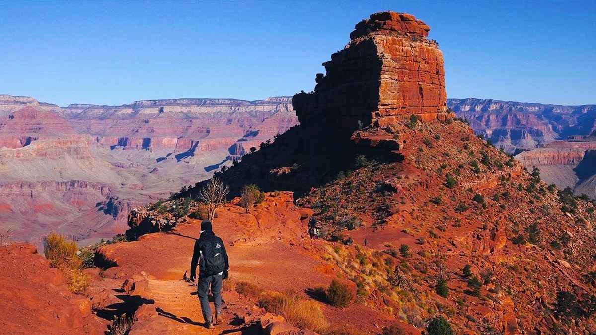
Grand Canyon, Arizona · October 2019 · Solo
Grand Canyon rim to rim
35.3 KM · 2 DAYS · 1,890 M
South Kaibab to North Kaibab in 2 days.
Watch the film 17:09 · 517K viewsAt a glance
- Where
- Grand Canyon, Arizona
- Distance
- 35.3 km (21.9 miles)
- Days
- 2: 7.0 miles on Day 1, 14.9 on Day 2, then 0.7 to the North Rim Campground
- Climbing
- About 6,190 ft (1,890 m) up and 5,160 ft (1,570 m) down
- Season
- I went October 30 and 31, 2019
- Difficulty
- A steep 4,800 ft descent with no water, then a 15-mile climb. Heat is the big danger from May to September
- Route
- The South Kaibab Trailhead on the South Rim to The North Kaibab Trailhead on the North Rim
- When I went
- October 2019
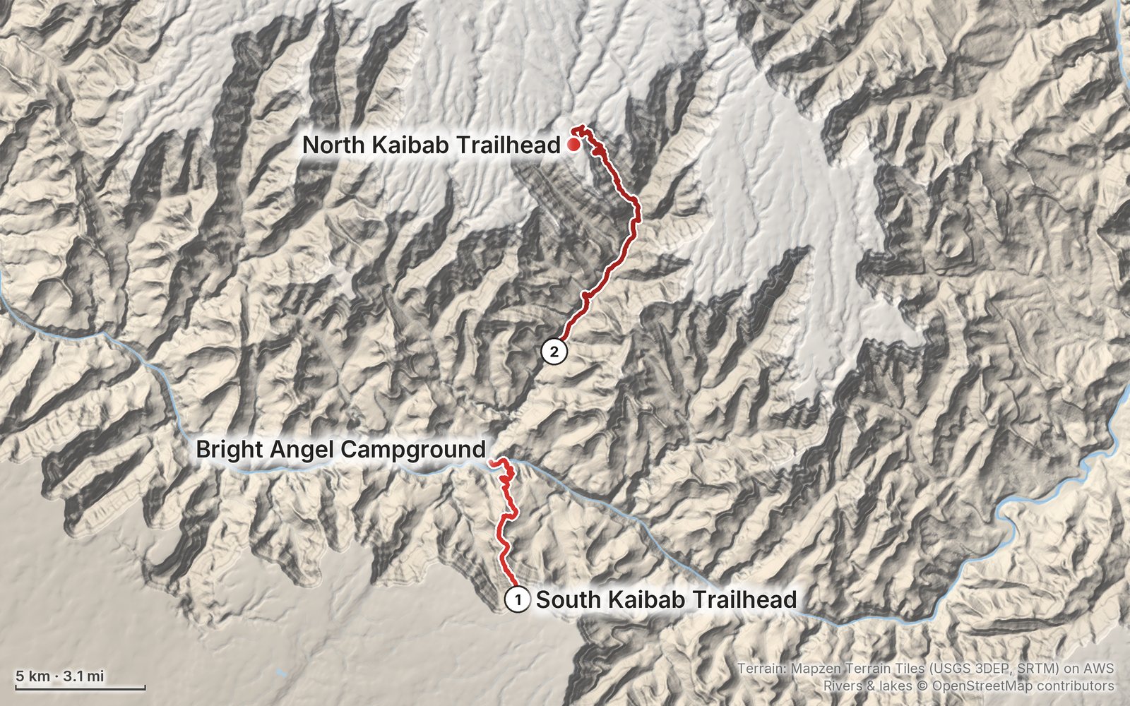
Elevation, start to finish: highest 8,340 ft (2,542 m), lowest 2,420 ft (738 m).
My GPS recording on a relief map. The numbers are where each day starts. The GPX files come with the guide.
Everything I made about it
The film

Photos
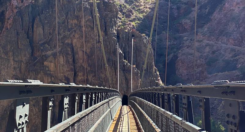
Looking back across the Black Bridge to the tunnel on the south side of the Colorado River, Day 1. 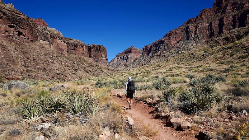
Me on the North Kaibab Trail just below Cottonwood Campground, Day 2, from my camera on its tripod.
The guide · 49-page PDF + GPX files · 2027 season edition
Do it yourself
South Kaibab to North Kaibab in 2 days.
- Where things stand
- Both days
- My GPX files
- Permits and rules
- Getting there and back
Free sample
Try Day 1 free
The whole Day 1, South Kaibab Trailhead to Bright Angel Campground page from the guide as a PDF, plus my camping packing list: the 42 things I carry, with a note on each. Both come by email. You'll also get my emails about new guides and trips, a few a year.
Gear on this trip
Paid links: I earn a commission if you buy through these links, at no extra cost to you. As an Amazon Associate I earn from qualifying purchases.
What I carried in 2019
- PackHyperlite Mountain Gear Southwest 2400
- TentREI Passage 1Similar now: NEMO Hornet Elite OSMO 1P
- Sleeping bagNEMO Siren 45On the rim the temperature dropped to an insane 6 degrees.
- LinerOutdoor Vitals Sleeping Bag Liner
- Matan inflatable matSimilar now: Therm-a-Rest NeoAir XLite NXT
- PillowKlymit Pillow X
- StoveJetboil MiniMoNo campfires below the rim; stoves are fine.
- SpoonTOAKS Titanium Long Handle Spoon
- Food bagsLOKSAK OPSAK bags
- WaterPlatypus Platy 2L
- Water filterSawyer Micro SqueezeI filled my water at the tap at Cottonwood Campground on Day 2.
- HatZOWYA Sport Cap
- Sun hoodieAmazon Essentials Quick-Dry Tech Hoodie
- PantsREI Sahara convertible pantsSimilar now: PATH Projects Killam PX Pant
- SocksFEIDEER hiking socks
- ShoesColumbia CrestwoodAt Ribbon Falls I took them off and waded Bright Angel Creek.
- HeadlampSLONIK rechargeable headlamp
- Batterymophie Power Boost XXLSimilar now: Nitecore NB20000
Filming kit
- CameraSony a7 III
- LensSony FE 16-35mm f/2.8 GM
- MicRode VideoMic Pro+
- TripodPeak Design Travel TripodSimilar now: SmallRig Carbon Fiber Tripod
- ClipPeak Design Capture Clip
- DroneDJI Mavic 2 ProNo longer made. I only tried to fly it outside the park.
- PhoneApple iPhone 11 Pro
- AlsoAirPods
What I'd take now
My current kit
- PolesBlack Diamond Alpine Carbon Z Poles
- Water filterKatadyn BeFree AC · 1L
- Sun hoodiePATH Projects Pyrenees T19 Hoodie
- HatPATH Projects Muir Cap 2.0
- PuffyArc’teryx Cerium Hoody
- TractionYatta Life Ice Spikes
The Americas and New Zealand bundle
This guide is in The Americas and New Zealand Hiking Guide Pack: 36 guides for $39. Or all 62 guides for $59.
Short answers
- Is the Grand Canyon rim to rim open?
- Not in October 2026. After the August 29, 2026 flash flood in Bright Angel Canyon, the park closed the whole North Kaibab Trail, Phantom Ranch with Bright Angel Campground, both bridges over the Colorado River and the South Kaibab Trail below the Tipoff, with no estimated reopening. Check the park's Key Hiking Messages page before you plan.
- How long is the Grand Canyon rim to rim?
- My South Kaibab to North Kaibab hike was 21.9 miles from trailhead to trailhead, with the side trip to Ribbon Falls: 7.0 miles down to Bright Angel Campground on Day 1 and 14.9 miles up to the North Rim on Day 2. That's about 4,780 ft down and 6,120 ft up. I called it about 20 miles in my film.
- Do you need a permit to hike rim to rim?
- You need a backcountry permit for every night you camp below the rim, by lottery on Recreation.gov about four months ahead; in 2026 it was $10 plus $15 per person per night. Day hikers don't need one. Since the August 2026 flood, no permits are issued for Bright Angel or Cottonwood campgrounds.
- Is there water on the rim to rim trail?
- None on the South Kaibab Trail. In a normal year there's water all year at Bright Angel Campground and Phantom Ranch, and from about mid-May to mid-October at Cottonwood, Manzanita, Supai Tunnel and the North Kaibab Trailhead. In October 2026 every tap in the inner canyon is off. Always carry a way to treat creek water.
- How do you get back after hiking rim to rim?
- The rims are about 212 miles apart by road, about 4.5 hours. I took a shuttle from the North Rim back to my car on the South Rim in 2019: about $80 and four hours. In October 2026 the Trans-Canyon Shuttle is suspended until the park reopens.
- When is the best time to hike rim to rim?
- I went at the end of October and would suggest the autumn, when it's not as hot: the inner canyon averages over 100°F from June to August. The North Rim's services normally run from May 15 to October 15, and its road closes from December 1 to May 14.
I make my guides with AI, from my own films and GPS recordings. How.