
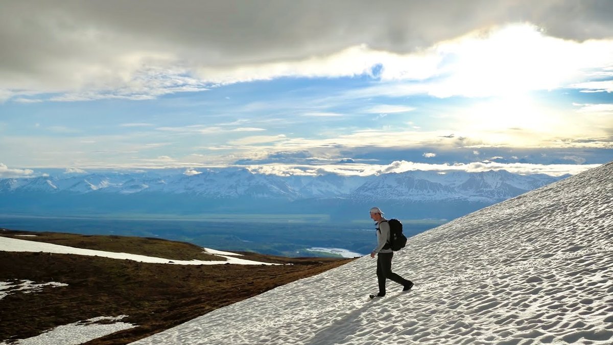
Denali State Park, Alaska · June 2020 · Solo
Kesugi Ridge
52.7 KM · 2 DAYS · 1,660 M
Little Coal Creek to Byers Lake in Denali State Park, Alaska, in 2 days.
Watch the film 12:44 · 295K viewsAt a glance
- Where
- Denali State Park, Alaska
- Distance
- 52.7 km (32.8 miles)
- Days
- 2 for me: a short evening climb onto the ridge, then a 26-mile day. Most people take 3
- Climbing
- About 5,450 ft (1,660 m) up and 6,050 ft (1,844 m) down, by my GPS
- Route
- Little Coal Creek Trailhead to Byers Lake Campground
- When I went
- June 2020
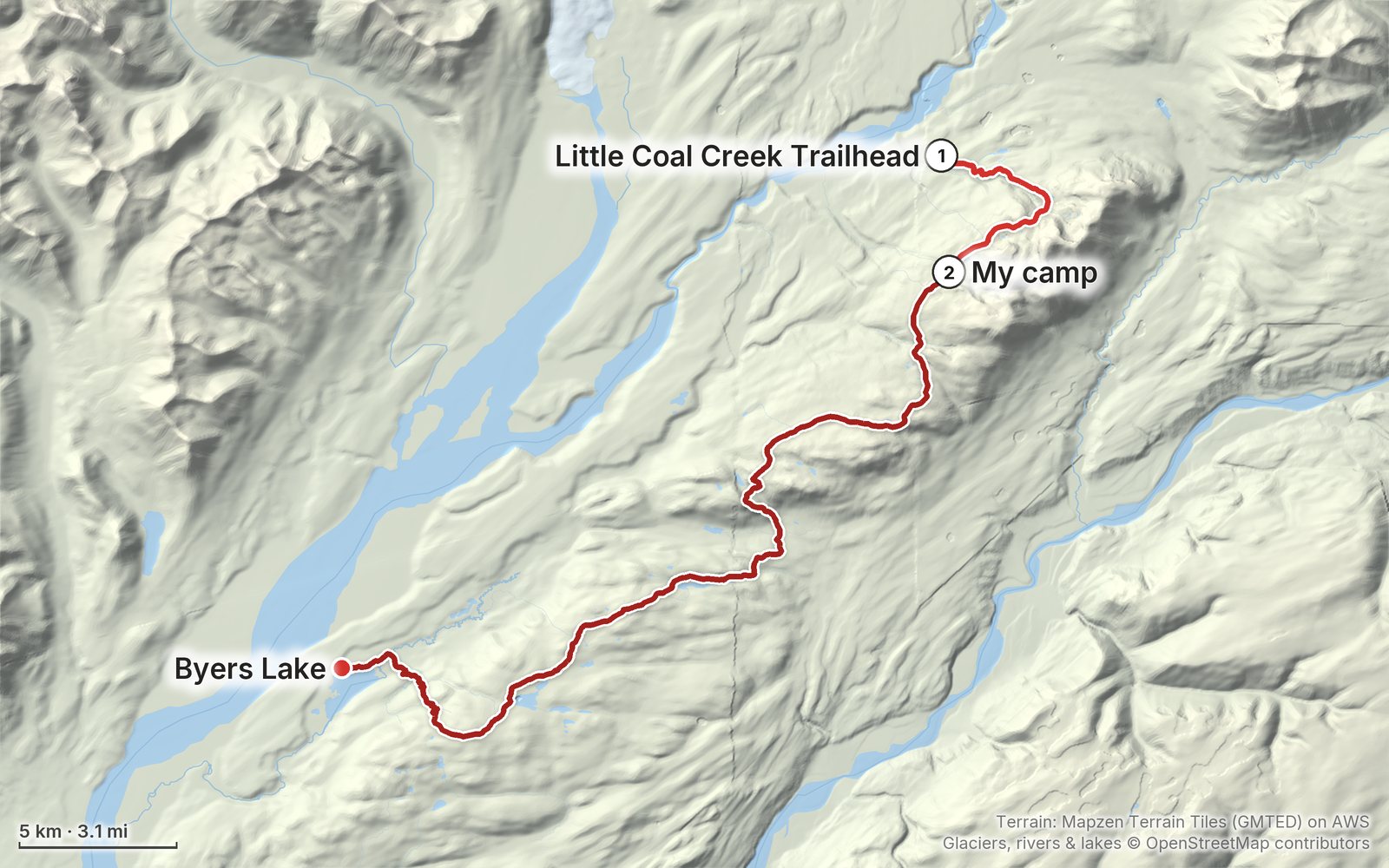
Elevation, start to finish: highest 3,500 ft (1,067 m), lowest 740 ft (226 m).
My GPS recording on a relief map. The numbers are where each day starts. The GPX files come with the guide.
Everything I made about it
The film

Photos
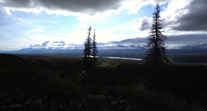
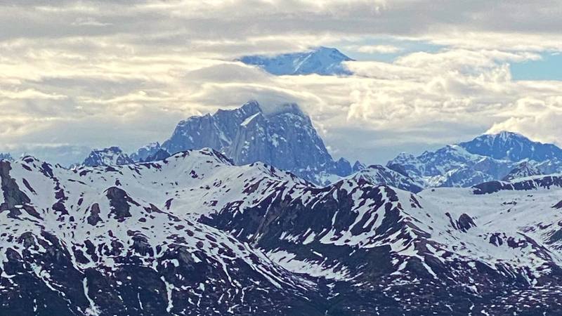
The Alaska Range from the climb onto the ridge, Day 1. 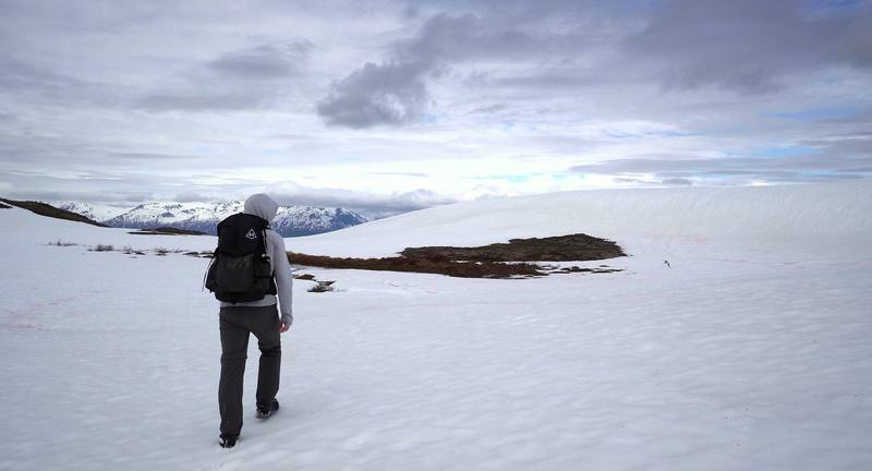
A snowfield on the ridge, Day 2.
The guide · 42-page PDF + GPX files · 2027 season edition
Do it yourself
Little Coal Creek to Byers Lake in Denali State Park, Alaska, in 2 days.
- Where things stand
- Both days
- My GPX files
- Getting there
- Other ways to do it
Free sample
Try Day 2 free
The whole Day 2, Kesugi Ridge to Byers Lake page from the guide as a PDF, plus my camping packing list: the 42 things I carry, with a note on each. Both come by email. You'll also get my emails about new guides and trips, a few a year.
What I'd take now
My current kit
The Americas and New Zealand bundle
This guide is in The Americas and New Zealand Hiking Guide Pack: 36 guides for $39. Or all 62 guides for $59.
Short answers
- Do you need a permit for the Kesugi Ridge Trail?
- I found no backcountry permit for Kesugi Ridge in 2026. You pay to park: a $5 day-use fee or an annual parking pass at the Little Coal Creek, Ermine Hill and Byers Lake trailheads (Alaska State Parks). Skinny Lake has the route's only designated campsite and toilet; elsewhere you camp on durable ground on the ridge.
- How long is the Kesugi Ridge Trail?
- Alaska State Parks gives 28.9 miles (46.5 km) one way from Little Coal Creek to Byers Lake Campground. My GPS recorded 32.8 miles (52.7 km) and about 5,450 ft of climbing over two days. Most people take three days.
- How do you get back to your car after hiking Kesugi Ridge?
- It's one way, and the Little Coal Creek and Byers Lake trailheads are about 17 miles apart on the Parks Highway. Leave a second car at Byers Lake, book a shuttle from Talkeetna (Denali Southside River Guides), or hitch, which is what I did.
- Can you leave Kesugi Ridge partway?
- Yes. The Ermine Hill Trail drops 3.7 miles (6.0 km) from the ridge to the Parks Highway at mile 156.5, roughly halfway along the traverse. You'll need a ride from there.
- When is the best time to hike Kesugi Ridge?
- Alaska State Parks says late June to mid-September. In early June, when I went, there was still deep snow, snow bridges over streams and trees down across the trail. Expect mosquitoes early in the season and blueberries, and bears, in late summer.
- Are there bears on Kesugi Ridge?
- Yes, black and brown bears. State Parks closes trails when bears gather, especially near Troublesome Creek during the July and August salmon runs. Carry bear spray, cook and store food away from your tent, and check State Parks' trail conditions before you go.
I make my guides with AI, from my own films and GPS recordings. How.