
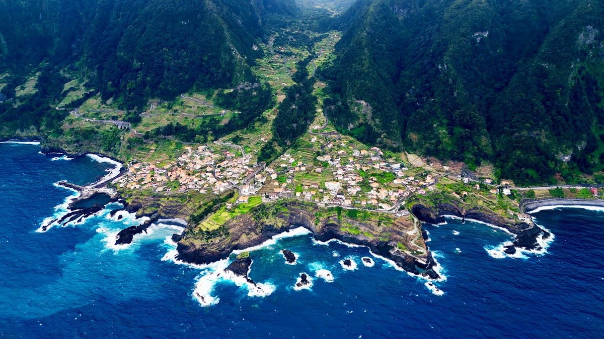
Madeira, Portugal · April 2023 · Solo
Madeira
8 DAYS
Pico Grande, Pico do Areeiro to Pico Ruivo, Fanal, a levada and Ponta de São Lourenço in 8 days.
Watch the film 29:09 · 228K viewsAt a glance
- Where
- Madeira, Portugal
- Days
- 8 days
- Difficulty
- Pico Grande and the PR1: steep climbs, stairs, drops, short scrambles or tunnels. Fanal, the levada and Ponta de São Lourenço: easy to moderate
- Highest point
- Pico Ruivo, 6,109 ft (1,862 m), the top of the island
- When I went
- April 2023
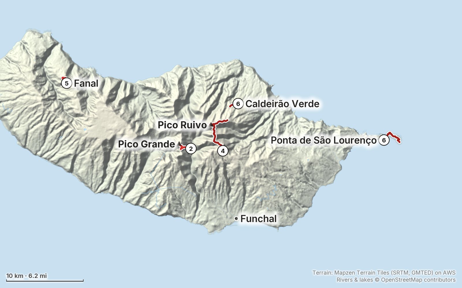
Elevation, start to finish: highest 5,970 ft (1,820 m), lowest 20 ft (6 m).
My GPS recording on a relief map. The numbers are where each day starts. The GPX files come with the guide.
Everything I made about it
The films
 Hiking film · 20238 Days of Traveling and Hiking in Madeira29:09 · 228K views
 Hiking film · 2023Madeira in 8 Days: Epic Hikes, Hidden Trails & Travel Tips15:24 · 98K views
In the journal
Photos
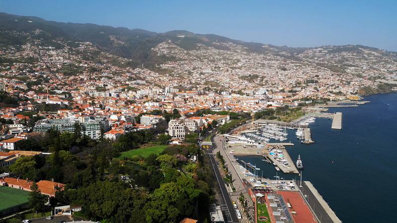
Funchal from above: the hotels, the marina and the hills behind. 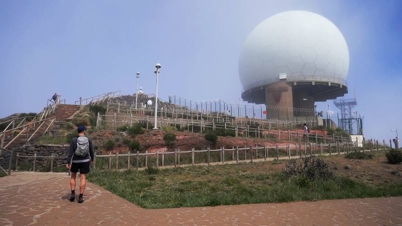
Pico do Areeiro in the cloud on Day 3, the morning I put the hike off. 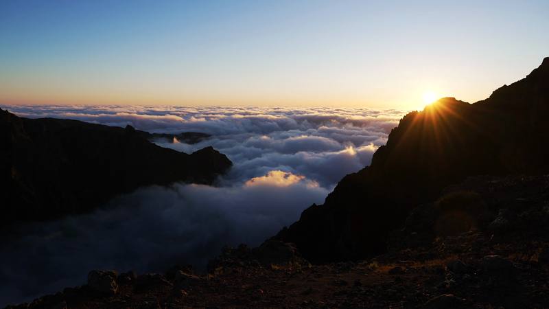
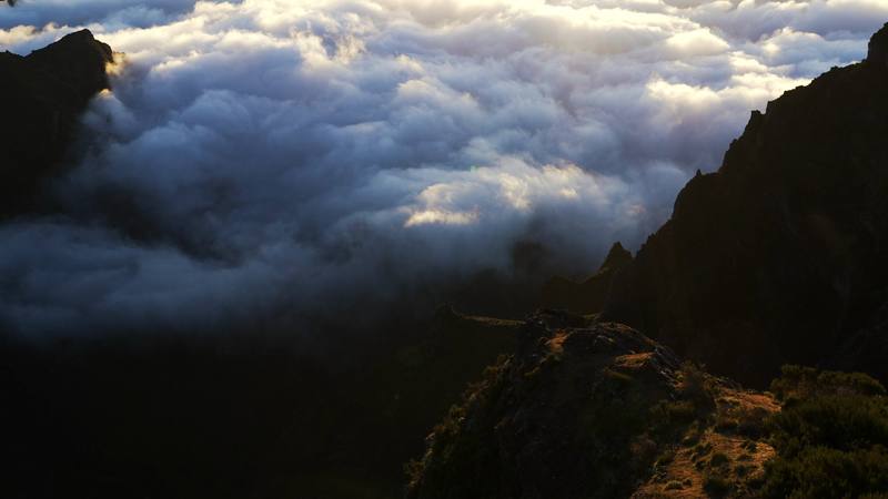
Sunrise over the clouds from the PR1, Day 4. 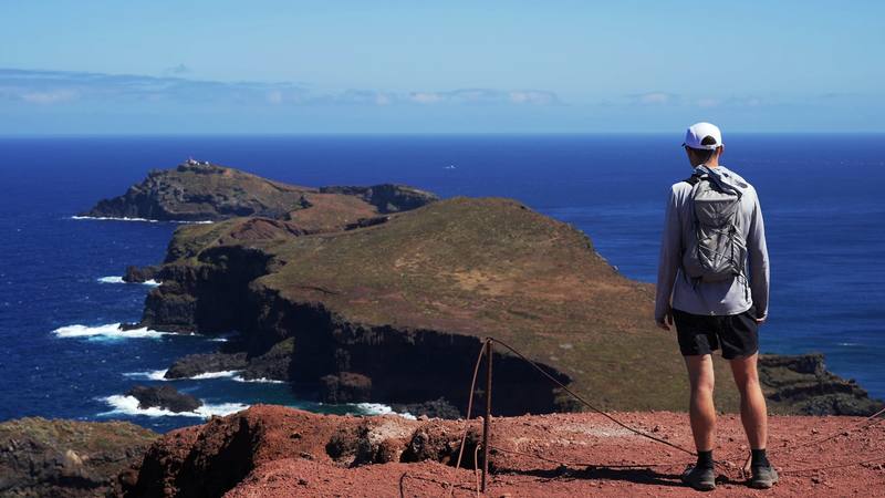
Looking out to the end of Ponta de São Lourenço from the PR8, Day 6.
The guide · 57-page PDF + GPX files · 2027 season edition
Do it yourself
Pico Grande, Pico do Areeiro to Pico Ruivo, Fanal, a levada and Ponta de São Lourenço in 8 days.
- Where things stand
- Five hikes, eight days
- My GPX files
- The 2026 rules
- Getting there and around
Free sample
Try Day 4 free
The whole Day 4, Pico do Areeiro to Pico Ruivo, then the west coast page from the guide as a PDF, plus my hut-to-hut packing list: the 35 things I carry, with a note on each. Both come by email. You'll also get my emails about new guides and trips, a few a year.
Music in this films
- For OnceAlaskan Tapes · Musicbed
- LoreAdam Bokesch · Musicbed
- Swaying Sea of GreenAdam Bokesch · Musicbed
- UnderneathFuture of Forestry · Musicbed
What I'd take now
My current kit
Europe bundle
This guide is in Europe Hiking Guide Pack: 11 guides for $39. Or all 62 guides for $59.
Short answers
- Do you need to book hiking trails on Madeira?
- Yes, since January 1, 2026. Every classified trail (PR) needs a 30-minute time slot booked and paid in advance on the SIMplifica portal: €4.50 a trail, €10.50 for the full PR1 to Pico Ruivo. Children 12 and under and Madeira residents don't pay but still book. There's no payment at the trailhead.
- Can you hike Pico do Areeiro to Pico Ruivo and back?
- Not any more. Since the PR1 reopened in 2026 it's one-way, toward Pico Ruivo, past the Pedra Rija viewpoint. Walk from Pico do Areeiro to Pico Ruivo and down to Achada do Teixeira and get a taxi back, walk Pico do Areeiro to Pedra Rija and back, or walk up to Pico Ruivo from Achada do Teixeira and back.
- How long is the PR1 from Pico do Areeiro to Pico Ruivo?
- Officially 6.1 km, plus 2.8 km down the PR1.2 to Achada do Teixeira. My out-and-back in April 2023 from the Pico do Areeiro parking, by way of Achada do Teixeira, was 12.5 miles and about 5,100 ft of climbing by my GPS, about 7.5 hours with stops.
- Do you need a car on Madeira?
- It helps a lot. The trailheads are high and spread around the island, and the weather changes fast, so a car lets you go back when the clouds clear. There is a daily bus from Funchal to Pico do Areeiro and buses toward Santana and Baía d'Abra, but none to Queimadas, Achada do Teixeira or Fanal.
- When is the best time to hike on Madeira?
- April to May and September to October are the usual picks: less rain than winter and less heat and fewer people than summer. The mountains are much colder than the coast, with ice on some winter days, and the clouds can cover the peaks at any time of year.
- Is Pico Grande on the booking system?
- The route I hiked, from the village of Curral das Freiras, isn't one of the classified PR routes, so it wasn't on the forest service's list or in the booking system in October 2026. The classified PR12 from Boca da Corrida was only partly open.
I make my guides with AI, from my own films and GPS recordings. How.