
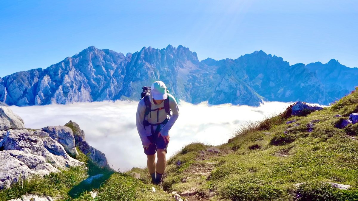
Northern Spain · October 2019 · Solo
Picos de Europa
152.2 KM · 7 DAYS · 9,640 M
7 days alone on a loop through northern Spain's Picos de Europa.
Watch the film 20:08 · 1.3M viewsAt a glance
- Where
- Northern Spain
- Distance
- 152.2 km (94.6 miles)
- Days
- 7 walking days, a loop
- Climbing
- About 31,600 ft (9,640 m) up and 31,900 ft (9,720 m) down by my GPS, a few thousand feet less in reality (Day 3 again)
- Season
- Summer and early autumn. I went in early October, at the end of the season
- Difficulty
- In my words: a very difficult trail, even though you pass three towns and plenty of refuges
- Start and end
- The top station of the Fuente Dé cable car
- When I went
- October 2 to 8, 2019, solo
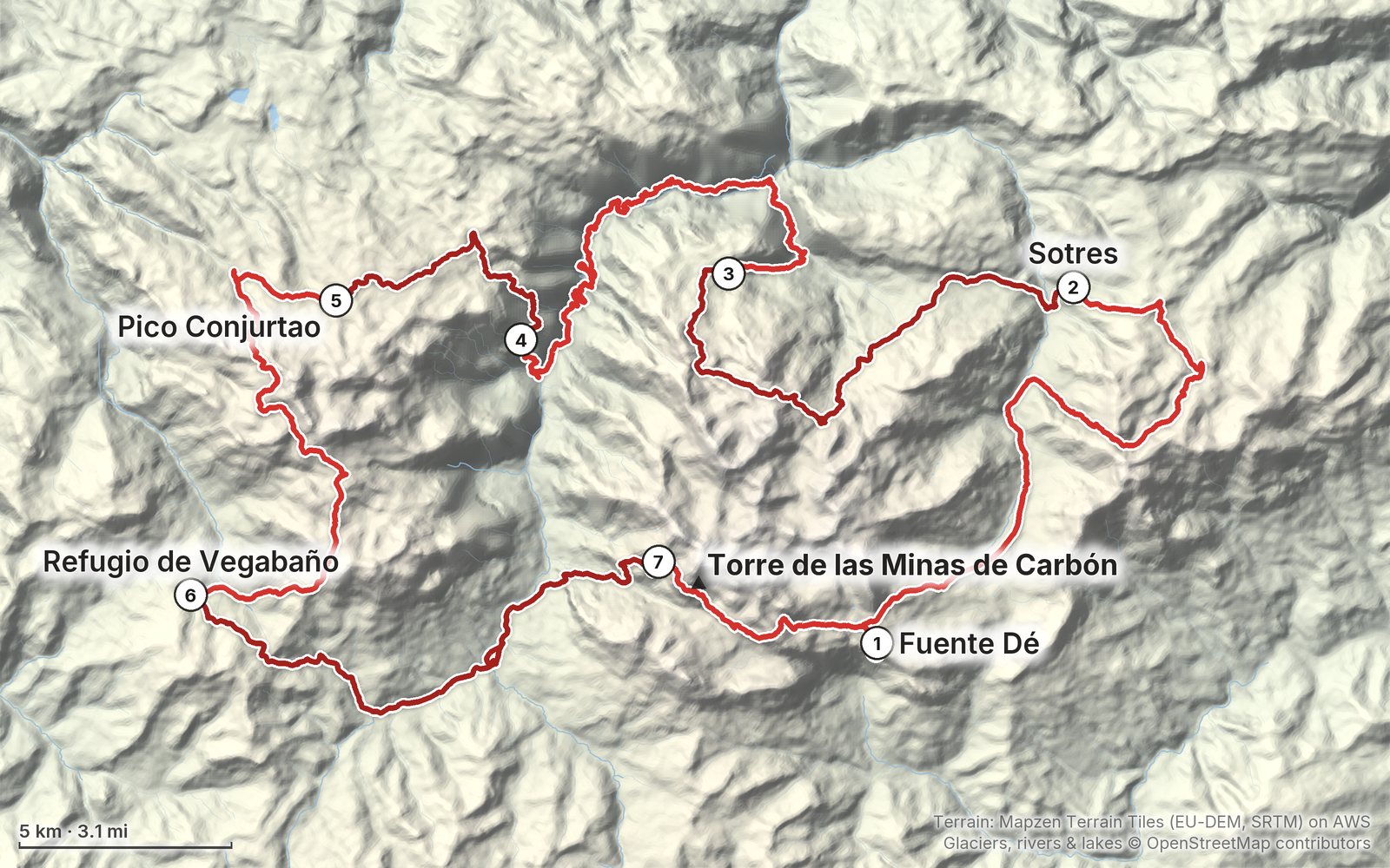
Elevation, start to finish: highest 7,430 ft (2,263 m), lowest 810 ft (248 m).
My GPS recording on a relief map. The numbers are where each day starts. The GPX files come with the guide.
Everything I made about it
The films
 Hiking film · 2019Hiking 90 miles Alone in Spain20:08 · 1.3M views
 Hiking film · 2024Picos de Europa Hiking Guide and Behind the Scenes52:25 · 71K views
Photos
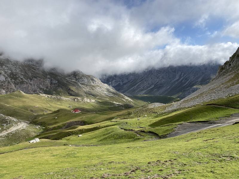
The meadows below Áliva on the morning of Day 1, looking down the Duje valley. 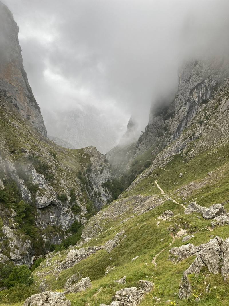
The gorge below Bulnes in the morning mist, on the way down to Poncebos, Day 3. 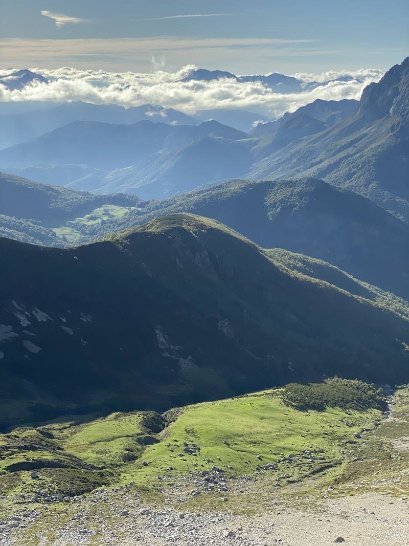
Late afternoon over the valleys, on the way down toward Vegabaño, Day 5. 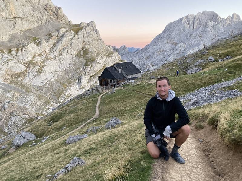
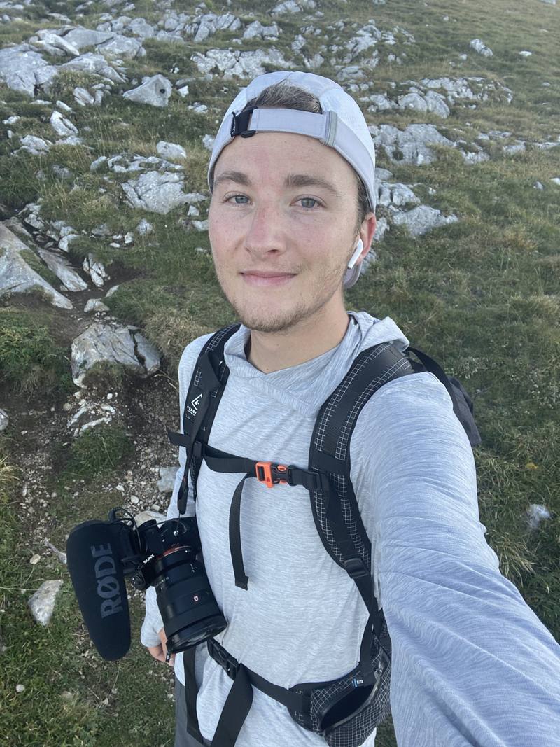
Me below the Refugio Collado Jermoso on the evening before Day 7.
The guide · 66-page PDF + GPX files · 2027 season edition
Do it yourself
7 days alone on a loop through northern Spain's Picos de Europa.
- All seven days
- My GPX files
- Where to sleep
- The refuge version
- Refuges and villages
Free sample
Try Day 2 free
The whole Day 2, Sotres to Cantu Collugos page from the guide as a PDF, plus my camping packing list: the 42 things I carry, with a note on each, and this route's own list on top. Both come by email. You'll also get my emails about new guides and trips, a few a year.
Gear on this trip
Paid links: I earn a commission if you buy through these links, at no extra cost to you. As an Amazon Associate I earn from qualifying purchases.
What I carried in 2019
- PackHyperlite Mountain Gear Southwest 2400The 2400 size, about 40 L.
- TentREI Passage 1Similar now: NEMO Hornet Elite OSMO 1P
- QuiltNemo quiltSimilar now: Hyperlite Mountain Gear 20° Quilt
- Sleepinga washable liner, an inflatable mat and a pillow
- Clothesa sun hoodie, a white cap, REI zip-off hiking pants and a long-sleeve wool layer
- Rain jacketUniqlo light rain jacket
- Cold nightsa hat, scarf and gloves
- Sockstwo pairs of thin wool socksOne on and one drying on the outside of the pack.
- ShoesColumbia hiking shoesThey were a little too stiff for me. I didn't have trail runners yet.
- Water filterSawyer filterSimilar now: Katadyn BeFree AC · 1L
- Alsoan accessory bag, DEET, a knife and two big plastic bagsThe bag held cash, documents, a headlamp and medicine. My friend bought me the knife, and I picked up a walking stick on the way.
Filming kit
- CameraSony a7 III
- LensSony FE 16-35mm f/2.8 GM
- MicRode VideoMic Pro+
- TripodPeak Design Travel TripodSimilar now: SmallRig Carbon Fiber Tripod
- DroneDJI Mavic 2 ProNo longer made.
Music in this films
- SomnolentThe Tides · YouTube Audio Library
What I'd take now
My current kit
- Sleeping-bag linerNaturehike ZY20 Sleeping Bag Liner
- Rain shellArc’teryx Beta AR Jacket
- Warm layerArc’teryx Cerium Hoody
- ShoesOboz Katabatic LT Low GTX
- PolesBlack Diamond Alpine Carbon Z Poles
- Water filterKatadyn BeFree AC · 1L
Europe bundle
This guide is in Europe Hiking Guide Pack: 11 guides for $39. Or all 62 guides for $59.
Short answers
- How many days do you need to hike around the Picos de Europa?
- I did the loop in seven long days in October 2019, hiking from morning until dark, about 90 miles. The refuge version, with a bed every night and shorter stages, takes nine days.
- When is the best time to hike the Picos de Europa?
- June to September is the easiest time, and late June to September is also the busiest. I went October 2 to 8 and had good weather, but it's the very end of the season, when some refuges close and the summer buses stop.
- Where do you sleep in the Picos de Europa?
- In staffed refuges and village hostels. Most refuges book through reservarefugios.com. Free camping isn't allowed in the park, and since 2026 a bivouac is only allowed without a tent above 1,800 m, so don't copy my three wild camps.
- Do you need to book refuges in the Picos de Europa?
- I didn't. I just showed up in October and there was always space. In summer, book the refuges ahead, and in autumn check each refuge's closing day.
- How do you get to Fuente Dé?
- Asturias and Santander are the closest airports; I flew into Madrid and a friend drove. Buses run from Santander to Potes, and in summer on to Fuente Dé. In 2026 the cable car is EUR 13 one way in low season and EUR 17 in high season.
I make my guides with AI, from my own films and GPS recordings. How.