
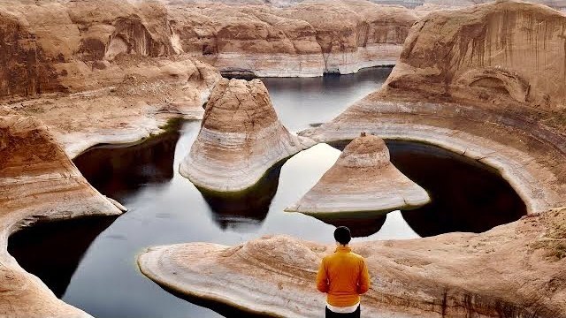
Glen Canyon, Utah · November 2020
Reflection Canyon
27.5 KM · 2 DAYS · 450 M
Hole-in-the-Rock Road to the rim above Lake Powell in 2 days.
Watch the film 14:37 · 248K viewsAt a glance
- Where
- Glen Canyon, Utah
- Distance
- 27.5 km (17.1 miles)
- Days
- 2: an afternoon out, a morning back
- Climbing
- About 1,480 ft (450 m) up and 1,320 ft (400 m) down in all, by my GPS. It's mostly flat, with gullies to cross
- Difficulty
- Not steep, but long, hot and off trail: much of it is cairned slickrock with no path. GPS needed
- Start and end
- An unsigned pullout on Hole-in-the-Rock Road
- When I went
- November 2020
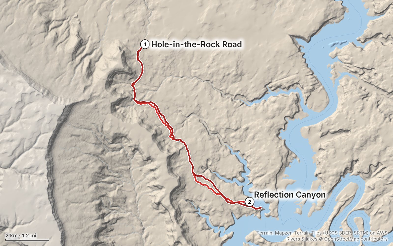
Elevation, start to finish: highest 4,480 ft (1,365 m), lowest 3,860 ft (1,178 m).
My GPS recording on a relief map. The numbers are where each day starts. The GPX files come with the guide.
Everything I made about it
The film

Photos
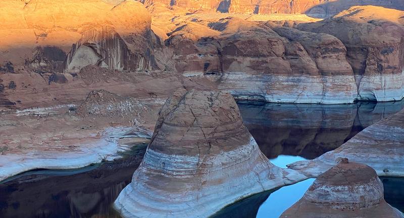
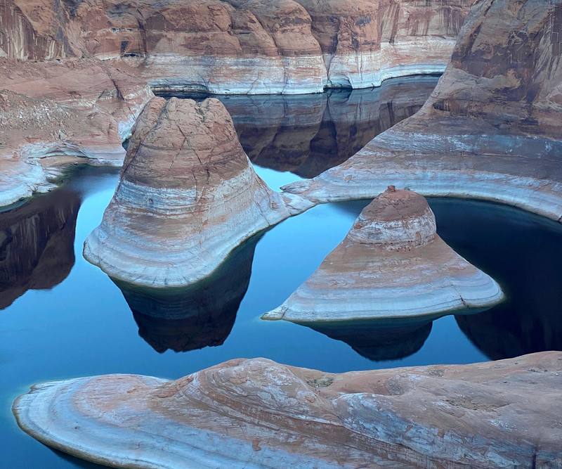
The first view of Reflection Canyon from the rim, Day 1 at 4:40 p.m. 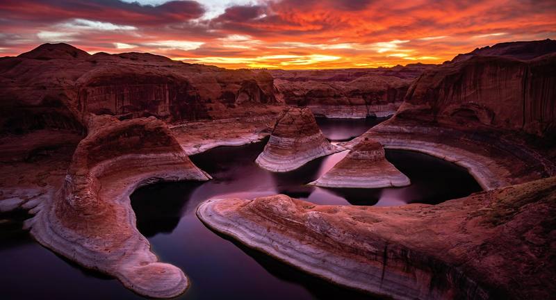
Sunrise over Reflection Canyon, Day 2.
The guide · PDF + GPX files · 2027 season edition
Do it yourself
Hole-in-the-Rock Road to the rim above Lake Powell in 2 days.
- Where things stand
- Both days
- My GPX files
- The permit and camping
- Getting there
Free sample
Try Day 1 free
The whole Day 1, The trailhead to Reflection Canyon page from the guide as a PDF, plus my camping packing list: the 42 things I carry, with a note on each. Both come by email. You'll also get my emails about new guides and trips, a few a year.
What I'd take now
My current kit
The Americas and New Zealand bundle
This guide is in The Americas and New Zealand Hiking Guide Pack: 36 guides for $39. Or all 62 guides for $59.
Short answers
- How long is the hike to Reflection Canyon?
- About 17 miles round trip by my GPS: 8.4 miles out and 8.7 back, from an unsigned pullout at about mile 50 of Hole-in-the-Rock Road. Other sources give 15.6 to 18 miles, depending on the line you take across the slickrock.
- Do you need a permit for Reflection Canyon?
- To camp, yes: a free backcountry permit for any overnight stay in Glen Canyon's Escalante District, from the Escalante Interagency Visitor Center. There's no quota, and a day hike needs none. Glen Canyon's entrance fee ($30 a vehicle in 2026) applies too.
- Do you need 4WD for Hole-in-the-Rock Road?
- High clearance at least. In September 2026 the BLM rated the road high-clearance 2WD, with 4WD recommended for the last 7 miles; it's impassable when wet. We rented a 4WD Jeep in Escalante, and our small car would never have made it.
- Is there water on the way to Reflection Canyon?
- No. There's no water on the route and no way down to the lake from the rim. The Park Service says at least a gallon a person a day; hikers commonly carry 6 to 8 liters each for the overnight in spring and fall.
- When is the best time to hike to Reflection Canyon?
- Spring (late March to April) and fall (October to early November). Summer is very hot with no shade, and monsoon storms from mid-July to September can flood the road.
- Can you fly a drone at Reflection Canyon?
- No. Drones are banned in Glen Canyon National Recreation Area, which includes the rim.
I make my guides with AI, from my own films and GPS recordings. How.