
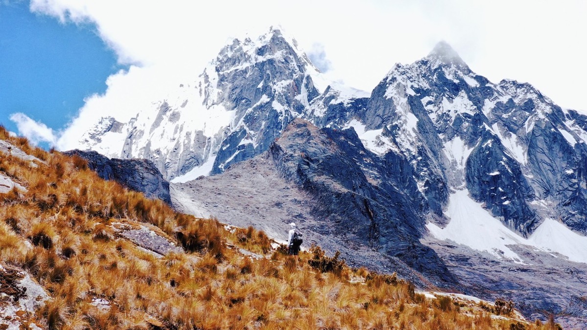
Cordillera Blanca, Peru · November 2019 · Solo
Santa Cruz Trek
49.9 KM · 3 DAYS · 1,680 M
3 days alone over Punta Unión in Peru's Cordillera Blanca.
Watch the film 19:42 · 390K viewsAt a glance
- Where
- Cordillera Blanca, Peru
- Distance
- 49.9 km (31.0 miles)
- Days
- 3 walking days, 2 nights in my tent. The park calls it 3 to 4 days
- Climbing
- About 5,500 ft (1,680 m) up and 7,870 ft (2,400 m) down
- Season
- The dry season, May to October. I walked November 12 to 14, 2019
- Difficulty
- A clear path, but high: two nights above 12,000 ft and a pass near 15,600 ft
- Route
- Vaquería to Cashapampa
- When I went
- November 2019
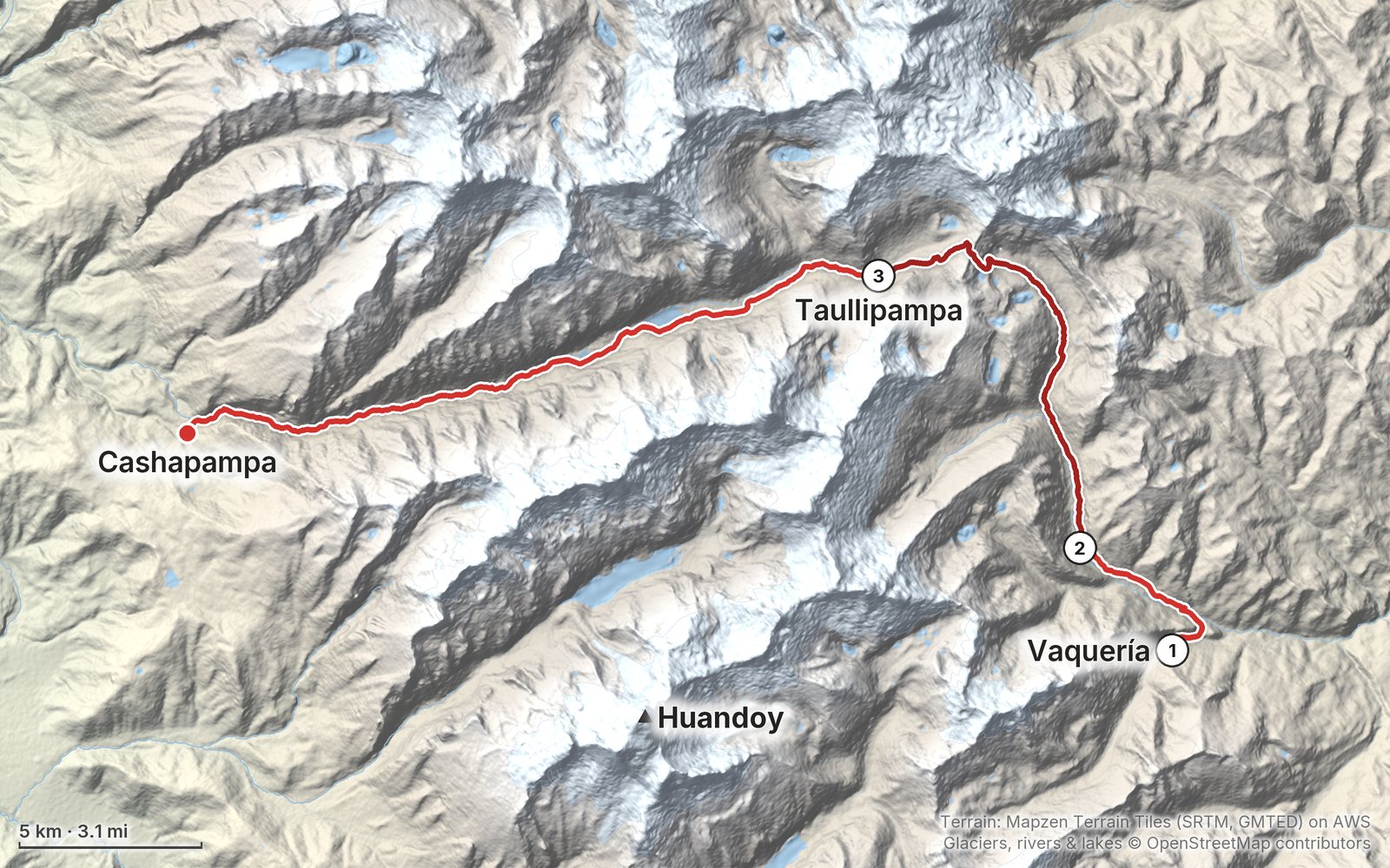
Elevation, start to finish: highest 15,530 ft (4,735 m), lowest 9,630 ft (2,935 m).
My GPS recording on a relief map. The numbers are where each day starts. The GPX files come with the guide.
Everything I made about it
The films
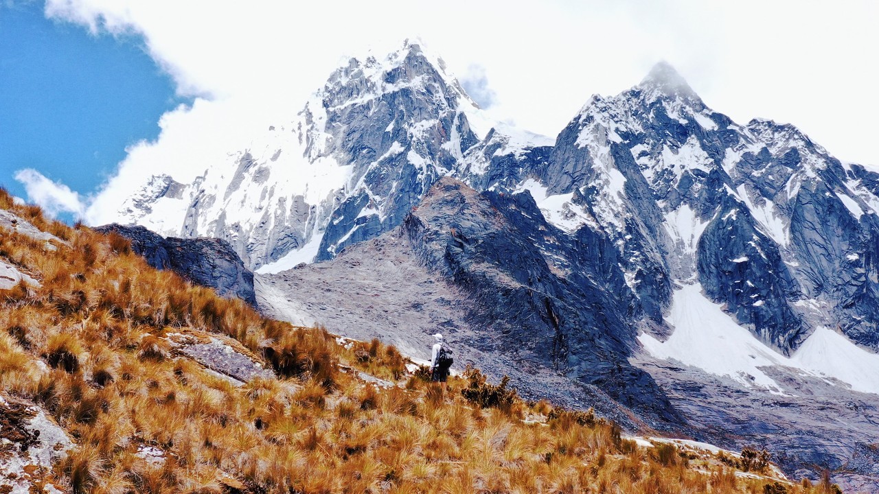 Hiking film · 2019Hiking 30 miles on the Santa Cruz Trek in Peru19:42 · 390K views
 Vlog · 2019Thoughts after Santa Cruz30:24 · 141K views
Photos
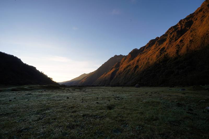
First light in the Huaripampa valley at my Day 1 camp, the next morning. 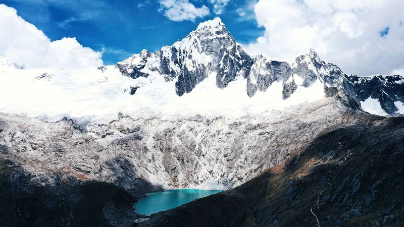
Taulliraju and the Taullicocha lake, just west of Punta Unión, Day 2. 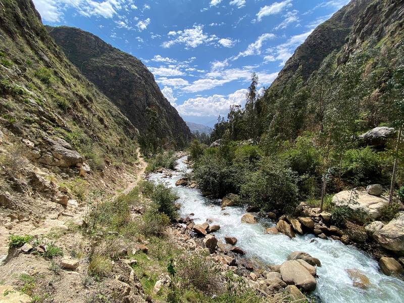
The Santa Cruz gorge above Cashapampa, near the end of Day 3.
The guide · 43-page PDF + GPX files · 2027 season edition
Do it yourself
3 days alone over Punta Unión in Peru's Cordillera Blanca.
- All three days
- My GPX files
- The park
- Getting there
- Altitude
Free sample
Try Day 2 free
The whole Day 2, Huaripampa over Punta Unión to Taullipampa page from the guide as a PDF, plus my camping packing list: the 42 things I carry, with a note on each. Both come by email. You'll also get my emails about new guides and trips, a few a year.
Gear on this trip
Paid links: I earn a commission if you buy through these links, at no extra cost to you. As an Amazon Associate I earn from qualifying purchases.
What I carried in 2019
- PackHyperlite Mountain Gear Southwest
- TentALPS Mountaineering Lynx 1 tent
- Sleeping bagNEMO Siren 45 sleeping bagA 45-degree bag, with a liner.
- LinerOutdoor Vitals Sleeping Bag Liner
- Sleeping padOutdoorsmanLab Ultralight Sleeping Pad
- PillowKlymit Pillow X
- WaterPlatypus Platy 2L bottle
- FilterSawyer Squeeze filterThere are villages, cattle and horses in the valleys: filter or treat everything.
- HeadlampSLONIK rechargeable headlampI set up my tent in the dark on Day 1.
- HatZOWYA running cap
- SunglassesWarby Parker Barkley sunglassesSimilar now: Goodr OG Sunglasses
- SweaterAmazon Essentials crewneck fleece sweatshirt
- ShirtAmazon Essentials Quick-Dry Tech Hoodie
- GlovesUnigear Touchscreen Liner Gloves
- PantsColumbia Silver Ridge Convertible Pants
- SocksDG Hill merino wool hiking socks
- ShoesBrooks Cascadia 13
- Foodno stove: bars, snacks and fruitFrom the market in Yungay.
Filming kit
- CameraSony A7 IIIMost of my hiking video was shot on it.
- LensSony FE 16-35mm f/2.8 GMThe 16-35mm wide-angle.
- MicRode VideoMic Pro+On top of the camera for audio.
- TripodPeak Design Carbon Fiber Travel TripodSimilar now: SmallRig Carbon Fiber Tripod
- Wrist strapPeak Design Cuff Wrist Strap
- Batteriesfive Sony NP-FZ100 batteriesInstead of a USB power bank I bought two extra and had five in all. I didn't even use them all, and I shot star time-lapses overnight, which can use a whole battery in a night. I liked not having to charge anything.
- DroneDJI Mavic 2 ProSimilar now: DJI Mini 5 Pro
What I'd take now
My current kit
- Rain shellArc’teryx Beta AR Jacket
- PuffyArc’teryx Cerium Hoody
- BeaniePATH Projects Hoyt Merino Beanie
- Sun hoodiePATH Projects Pyrenees T19 Hoodie
- StoveJetboil Stash
- PolesBlack Diamond Alpine Carbon Z Poles
The Americas and New Zealand bundle
This guide is in The Americas and New Zealand Hiking Guide Pack: 36 guides for $39. Or all 62 guides for $59.
Short answers
- How many days do you need for the Santa Cruz Trek?
- I did it alone in 3 days, 31 miles from Vaquería to Cashapampa, with 2 nights in my tent. The park calls it 3 to 4 days, and four is the easier plan. Add at least two days in Huaraz first to acclimatize.
- How high is the Santa Cruz Trek?
- The high point is the Punta Unión pass, usually given as 4,750 m (15,580 ft); my GPS read 4,735 m. My camps were at 3,680 m and 4,185 m (13,730 ft), and Huaraz, where you start from, is at about 3,050 m.
- Do you need a guide for the Santa Cruz Trek?
- I walked it alone with no agency in 2019. In 2026 the park's visitor page says visits must use SERNANP-authorized operators, while its January 2026 notice kept direct ticket sales at the control posts except at Laguna 69 and Nevado Pisco. Ask the park office in Huaraz before you plan it on your own.
- How much is the Huascarán National Park ticket for the Santa Cruz Trek?
- In 2026 the general rate is S/60 for a ticket valid 2 to 3 days and S/150 for 4 to 30 days. You can pay at the start or the end of the trail. Bring cash in soles.
- How do you get to the start of the Santa Cruz Trek?
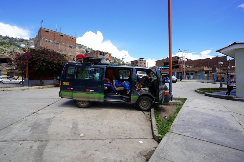
- Bus from Lima to Huaraz (7 to 8 hours), a colectivo to Yungay (about an hour and a half), then a minibus toward Yanama to Vaquería (my ride took 2 hours). From Cashapampa at the end, taxis and colectivos go down to Caraz and back to Huaraz.
- When is the best time to hike the Santa Cruz Trek?
- The dry season, May to October; the park lists October to April as the rainy season. I went November 12 to 14, 2019, and the weather was great, with some rain and hail at night.
I make my guides with AI, from my own films and GPS recordings. How.