
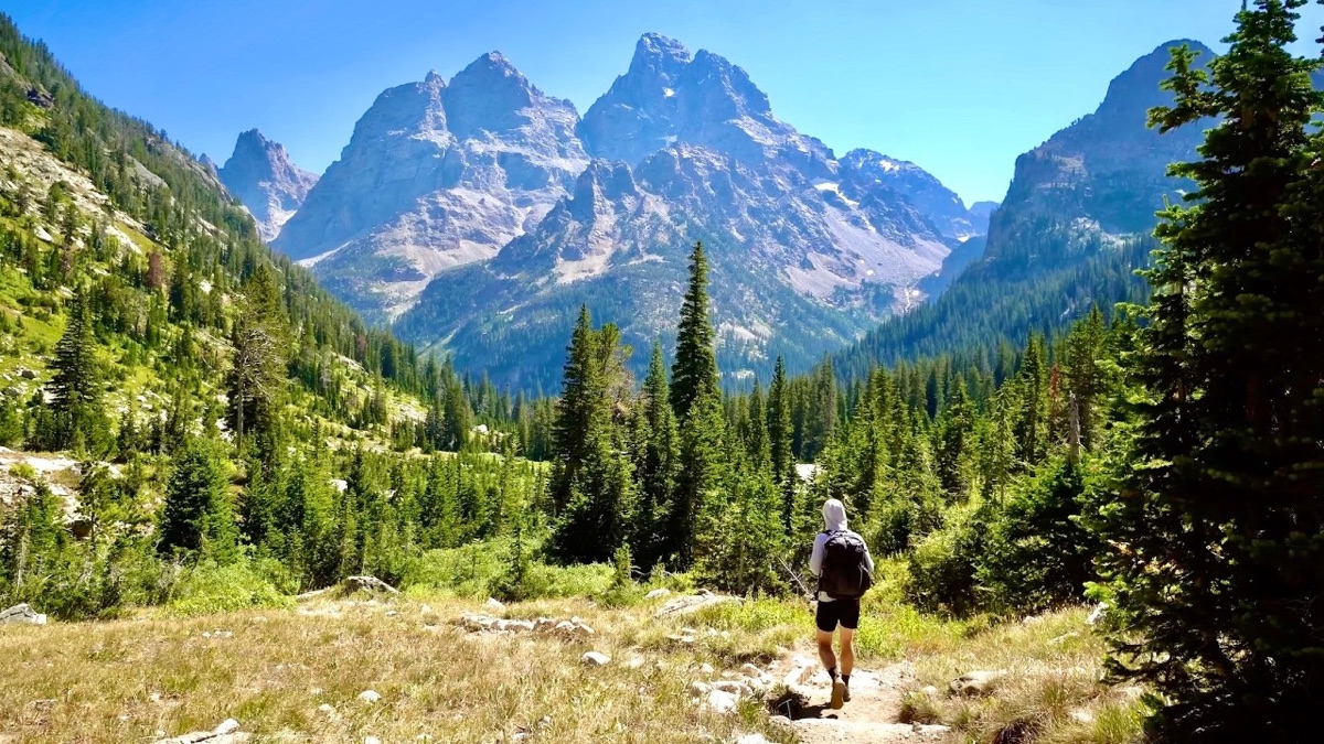
Grand Teton National Park, Wyoming · September 2020 · Solo
Teton Crest Trail
80.9 KM · 2 DAYS · 2,880 M
2 days alone on a 50-mile Teton Crest loop from String Lake, Wyoming.
Watch the film 23:45 · 617K viewsAt a glance
- Where
- Grand Teton National Park, Wyoming
- Distance
- 80.9 km (50.3 miles)
- Days
- 2 for me. 4 or 5 with a park permit is the gentler plan
- Climbing
- About 9,460 ft (2,880 m) up and the same down
- Start and end
- String Lake Trailhead
- Highest point
- Static Peak Divide, 10,830 ft (3,301 m) by my GPS, Day 2
- When I went
- September 3 and 4, 2020, solo
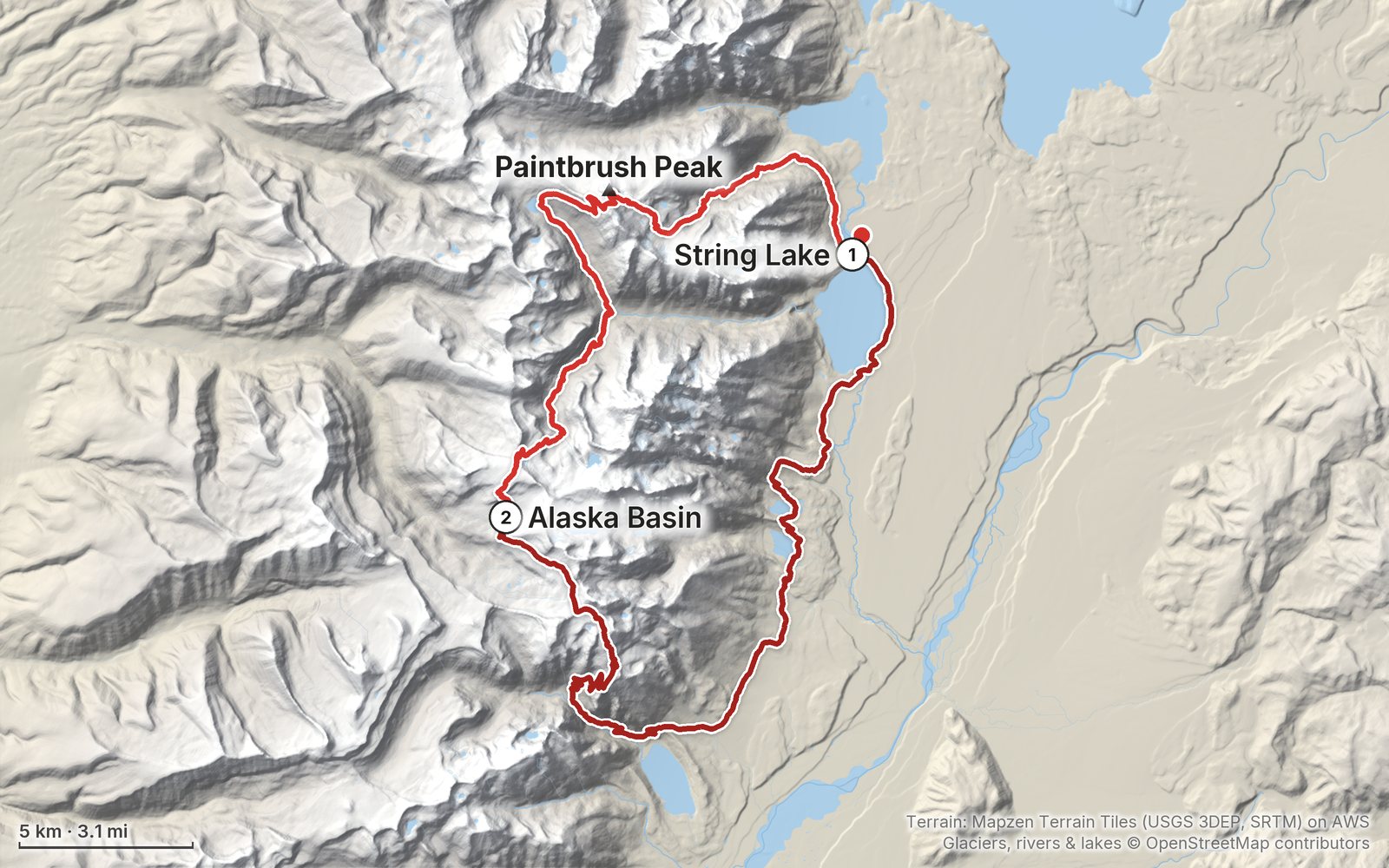
Elevation, start to finish: highest 10,830 ft (3,301 m), lowest 6,710 ft (2,046 m).
My GPS recording on a relief map. The numbers are where each day starts. The GPX files come with the guide.
Everything I made about it
The film

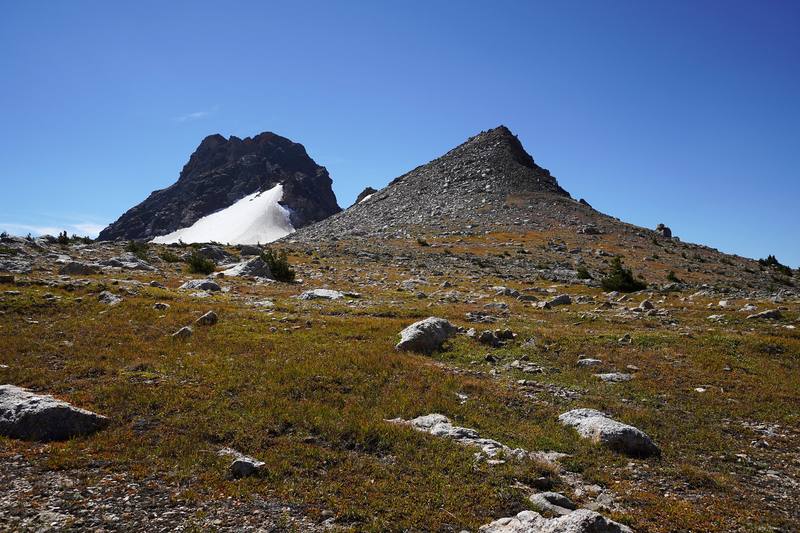
Photos
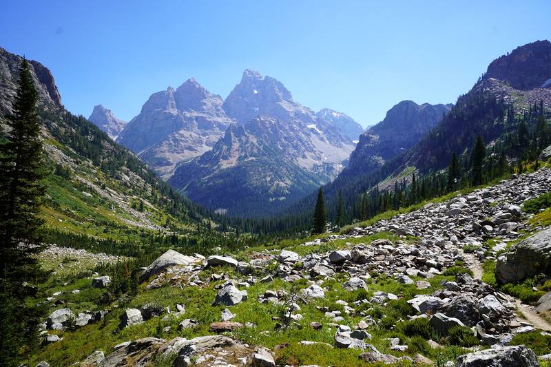
The Grand Teton from the North Fork of Cascade Canyon, Day 1. 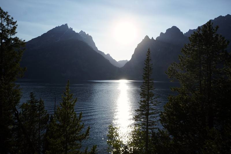
Jenny Lake in the evening, near the end of Day 2.
The guide · 42-page PDF + GPX files · 2027 season edition
Do it yourself
2 days alone on a 50-mile Teton Crest loop from String Lake, Wyoming.
- Both days
- My GPX files
- Permits and camping
- The 2026 closures
- Other ways to do it
Free sample
Try Day 1 free
The whole Day 1, String Lake to Alaska Basin page from the guide as a PDF, plus my camping packing list: the 42 things I carry, with a note on each. Both come by email. You'll also get my emails about new guides and trips, a few a year.
Gear on this trip
Paid links: I earn a commission if you buy through these links, at no extra cost to you. As an Amazon Associate I earn from qualifying purchases.
What I carried in 2020
- ShoesForsake CascadeSimilar now: Oboz Katabatic LT Low GTX
- Warm clothesall my winter stuff, with an orange puffy jacketI was expecting temperatures well into the 20s at night, "winter degree level coldness," and ended up not needing it.
- Sheltera green backpacking tent
- Fooda Mountain House meal, a rice side, potatoes, beef jerky, peanut butter, a Kind bar, breakfast biscuits, two oranges and cashews
- Navigationthe AllTrails appIt recorded both days.
Filming kit
- CameraSony a6600With no external microphone.
- LensSony E 10-18mm f/4 OSS
- Tripoda tripodMost of the shots are on it.
- DroneDJI Mavic Air 2
- PhoneApple iPhone 11 Pro
What I'd take now
My current kit
- PackHyperlite Mountain Gear Unbound 55
- TentNEMO Hornet Elite OSMO 1P
- Sleeping bagHyperlite Mountain Gear 20° Mummy Bag
- Sleeping padTherm-a-Rest NeoAir XLite NXT
- PuffyArc’teryx Cerium Hoody
- Rain shellArc’teryx Beta AR Jacket
The Americas and New Zealand bundle
This guide is in The Americas and New Zealand Hiking Guide Pack: 36 guides for $39. Or all 62 guides for $59.
Short answers
- Is this the whole Teton Crest Trail?
- No, its northern half. My loop goes from String Lake over Paintbrush Divide and Hurricane Pass to Alaska Basin, then leaves the trail and comes back down Death Canyon and the Valley Trail. The full trail runs about 39 miles (the park's figure) from Phillips Pass to String Lake, and I haven't hiked the southern half.
- How many days do you need for the Teton Crest loop?
- I did the 50.3-mile loop in two days, and I pushed: it was a lot with that elevation gain. Four or five days with a park permit is the gentler plan. The park advises against crossing more than one pass in a day, and I crossed two each day.
- Do you need a permit to camp on the Teton Crest Trail?
- Every night you camp inside Grand Teton National Park needs a backcountry permit, $20 a permit plus $7 a person a night in 2026. About a third can be reserved on Recreation.gov from early January; the rest are walk-up, in person, the day before. My one night was in Alaska Basin on national forest land, where no permit is needed, but the park only allows overnight parking at String Lake with a backcountry permit, so ask at a permit office first.
- When is the best time to hike the Teton Crest Trail?
- The park says backpacking the Tetons is typically more enjoyable in August and September. Paintbrush Divide, Hurricane Pass and Static Peak Divide stay snowy into summer, and early in the season an ice axe and crampons are musts. I hiked September 3 and 4, 2020, and had clear skies both days.
- Is the Death Canyon Trailhead closed in 2026?
- Yes. The old Death Canyon Trailhead, which my Day 2 line passes at mile 12.8, is closed to all use, walkers included, during construction from May 2026 to June 2027. Day 1 isn't affected; ask at a permit office which way you can walk north from Death Canyon on the Valley Trail.
I make my guides with AI, from my own films and GPS recordings. How.