
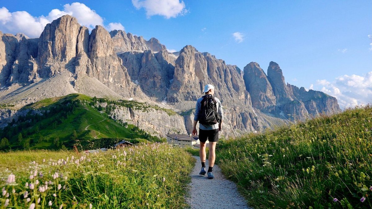
Dolomites, Italy · July 2021 · Solo
Alta Via 2
75.5 KM · 5 DAYS · 6,700 M
5 days hut to hut through the Dolomites.
Watch the film 1:28:44 · 2.5M viewsAt a glance
- Where
- Dolomites, Italy
- Distance
- 75.5 km (47 miles)
- Days
- 5 hiking days
- Climbing
- About 22,000 ft (6,700 m) up, 14,000 ft (4,250 m) down, by the route trace
- Season
- July to mid-September
- Difficulty
- Pretty easy and not very challenging, in my words, but I hike for a living. Short cabled sections, one 10,000 ft summit and loose scree on two passes
- Route
- La Villa and Corvara to Passo Valles
- When I went
- July 21 to 25, 2021, solo
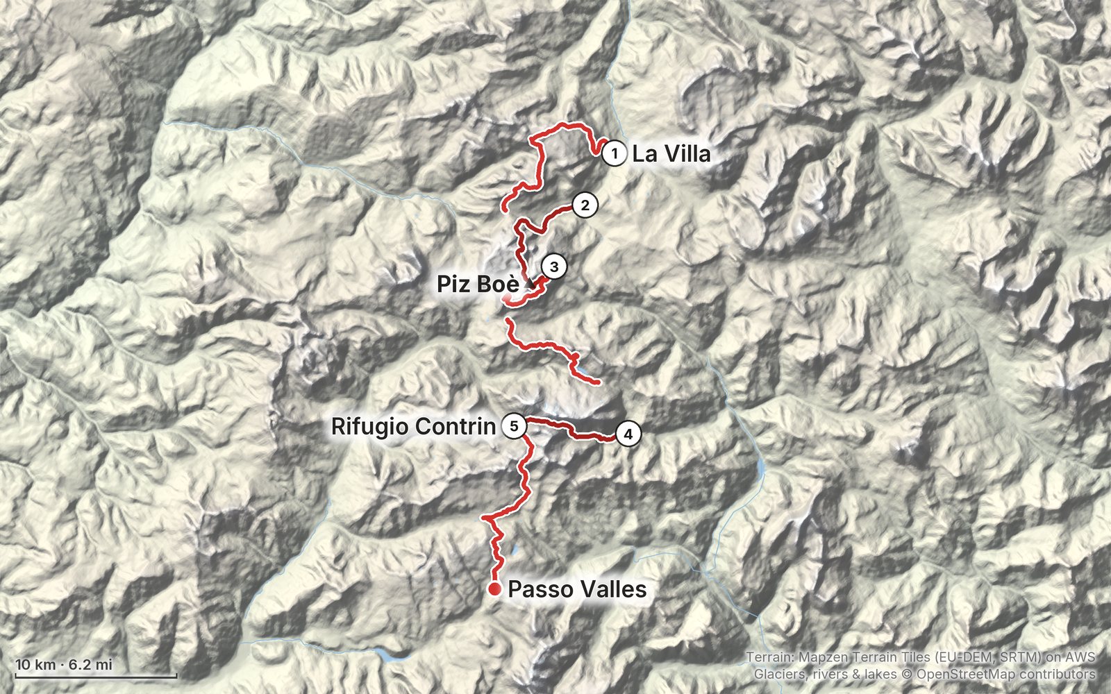
Elevation, start to finish: highest 10,330 ft (3,148 m), lowest 4,730 ft (1,442 m).
My GPS recording on a relief map. The numbers are where each day starts. The GPX files come with the guide.
Everything I made about it
The film

Photos
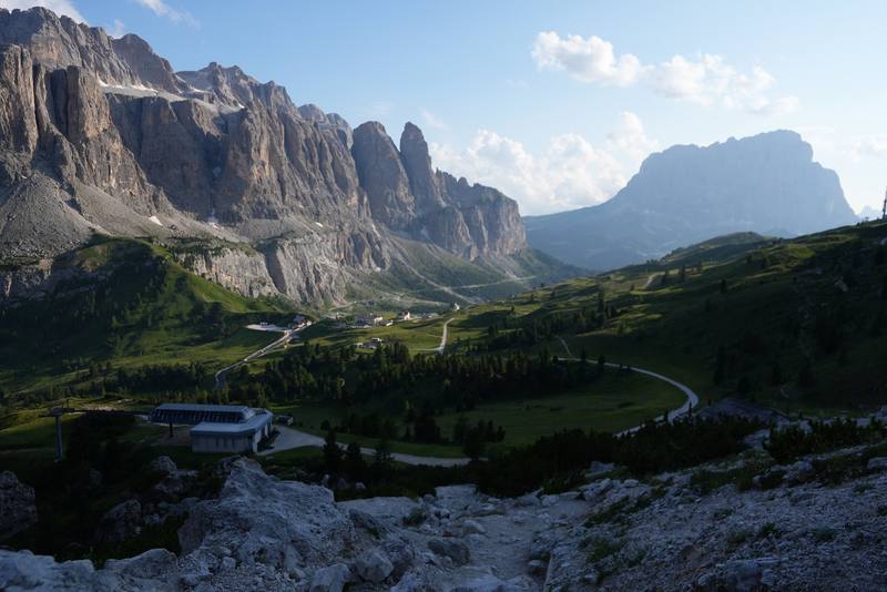
The Sella group from the Cir ridge at the end of Day 1. 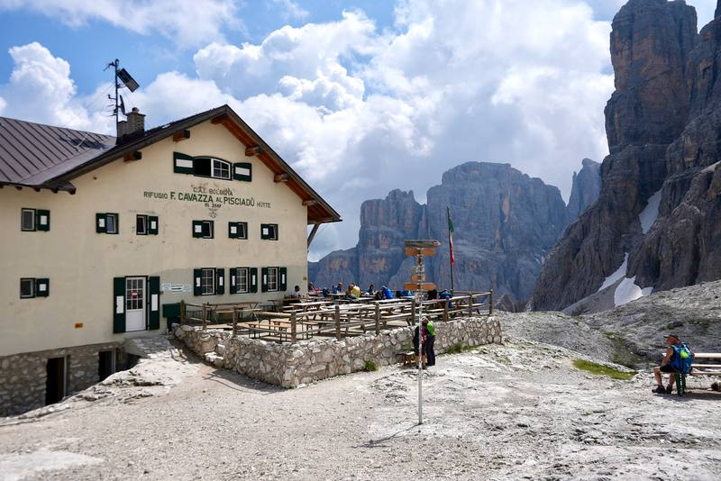
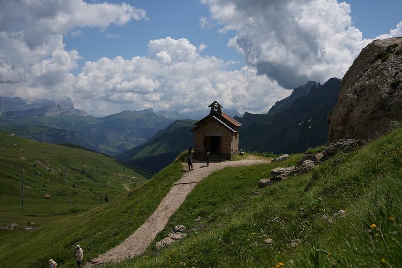
Rifugio Pisciadù, where I stopped for lunch on Day 2. 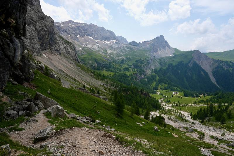
Val Contrin on the way down from Passo Ombretta to Rifugio Contrin. 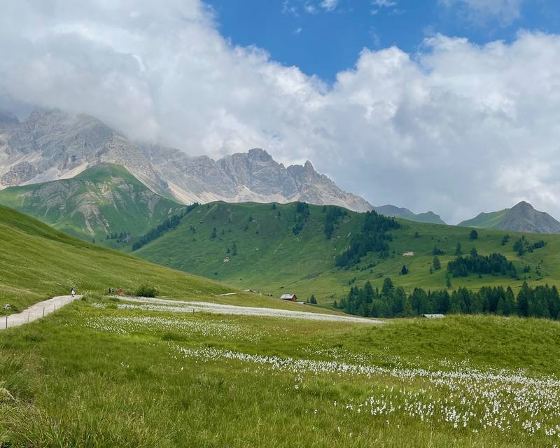
The meadows between Rifugio Fuciade and Passo San Pellegrino.
The guide · 60-page PDF + GPX files · 2027 season edition
Do it yourself
5 days hut to hut through the Dolomites.
- All five days
- A map and elevation profile for every day
- GPX files
- The huts
- Getting there and home
Free sample
Try Day 3 free
The whole Day 3, Rifugio Kostner to Passo Fedaia page from the guide as a PDF, plus my hut-to-hut packing list: the 35 things I carry, with a note on each, and this route's own list on top. Both come by email. You'll also get my emails about new guides and trips, a few a year.
Gear on this trip
Paid links: I earn a commission if you buy through these links, at no extra cost to you. As an Amazon Associate I earn from qualifying purchases.
What I carried in 2021
- PackHyperlite Mountain Gear Southwest 2400The 2400 size.
- Sleeping-bag linera linerThe huts provide blankets.
- Water filterKatadyn BeFree AC · 1LThe BeFree filter bottle.
- Headlampan LED headlamp
- Sun hoodiea sun hoodie and hiking shorts
- PuffyPatagonia Nano Puff JacketSimilar now: Arc’teryx Atom SL Hoody
- Rain jacketThe North Face Resolve 2Similar now: Arc’teryx Beta AR Jacket
- PantsPatagonia Terrebonne JoggersSimilar now: PATH Projects Killam PX Pant
- ShoesBrooks Cascadia 16Trail runners, no boots.
- Umbrellaa trekking umbrellaI used it in the Day 2 storm. I am team umbrella, I love it, it's the best.
- Polestrekking poles
- Batterya 10,000 mAh battery
- Travel bagPatagonia Black Hole Duffel · 40LFor the travel days.
Filming kit
- CameraSony a7S III
- LensSony FE 16-35mm f/4 ZA OSS
- MicRode VideoMic NTGOn top of the camera, for good audio.
- DroneDJI Air 2S
- TripodSIRUI carbon fiber tripod
- Tripod headJoby BallHead 3K (now the 3K PRO)On the SIRUI tripod.
- Wrist strapPeak Design Cuff Wrist Strap
What I'd take now
My current kit
- Sleeping-bag linerNaturehike ZY20 Sleeping Bag Liner
- Hut shoesCrocs Classic Clog
- Sun hoodiePATH Projects Pyrenees T19 Hoodie
- UmbrellaSix Moon Designs Silver Shadow Carbon
- HeadlampNitecore NU20 Classic
- Power bankNitecore NB20000
The Alps bundle
This guide is in The Alps Hiking Guide Pack: 7 guides for $39. Or all 62 guides for $59.
Short answers
- How many days do I need for the Alta Via 2?
- I did my section, about 47 miles from La Villa to Passo Valles, in 5 days. If you haven't done back-to-back mountain days, plan 6 or 7 days for it. The full route from Bressanone to Feltre is 13 official stages.
- When is the best time to hike the Alta Via 2?
- July to mid-September. The huts open from about mid-June to mid or late September. I went in late July 2021 and still hit snow and hail near the high point, so aim for mid-July to early September for passes without snow.
- Where do you sleep on the Alta Via 2?
- In huts and hotels. My nights were two in a Corvara hotel, then Rifugio Kostner, Rifugio Passo Fedaia and Rifugio Contrin, and a hotel in Moena. There's no wild camping on the high route, but there are campsites in the valleys.
- How do you get to the start of the Alta Via 2 section?
- From Venice airport, Cortina Express runs to Cortina in about 2 hours, then in summer Dolomitibus lines 52 and 465 go on to La Villa and Corvara. From the north, take the Brenner railway to Brunico and bus 460 to La Villa.
- Do I need via ferrata gear for the Alta Via 2?
- Not for my line. I skipped the via ferrata over Forcella della Marmolada and went around by Malga Ciapela and Passo Ombretta. Val Setus and the way down to Kostner have fixed cables on steep hiking trails.
I make my guides with AI, from my own films and GPS recordings. How.