- How many days do I need for the Alta Via 2?
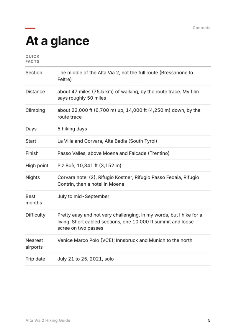
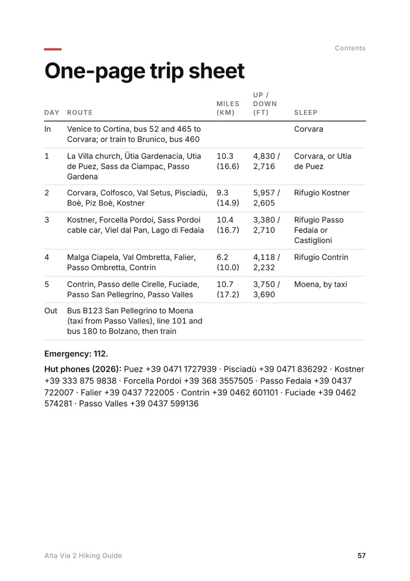
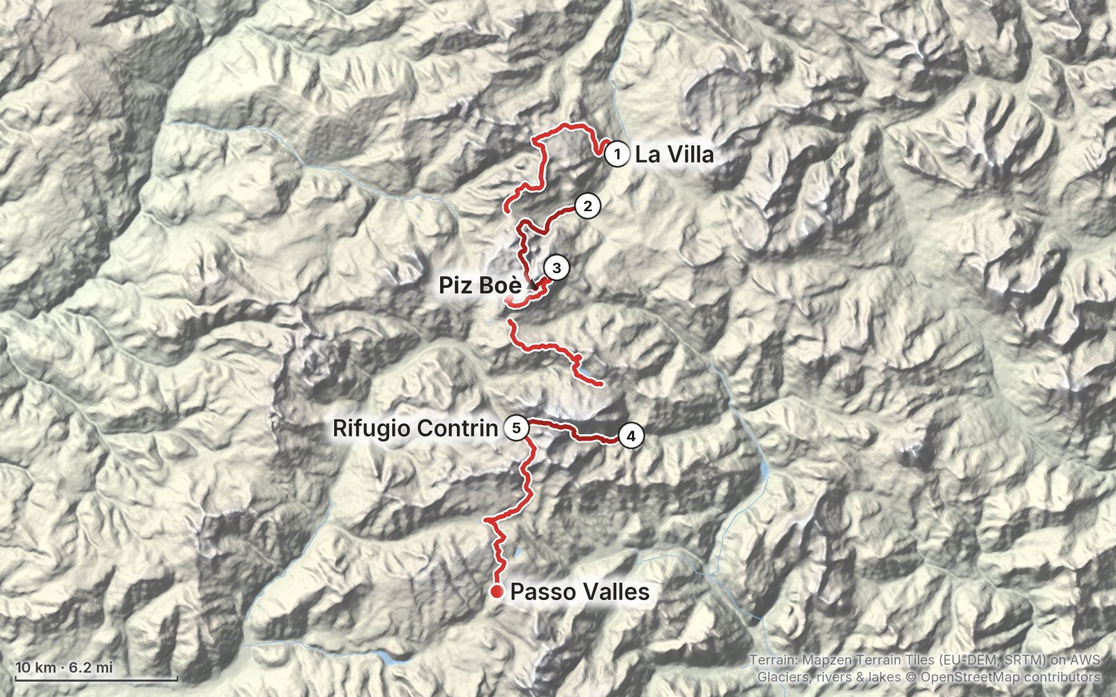
- I did my section, about 47 miles from La Villa to Passo Valles, in 5 days. If you haven't done back-to-back mountain days, plan 6 or 7 days for it. The full route from Bressanone to Feltre is 13 official stages.
- When is the best time to hike the Alta Via 2?
- July to mid-September. The huts open from about mid-June to mid or late September. I went in late July 2021 and still hit snow and hail near the high point, so aim for mid-July to early September for passes without snow.
- Where do you sleep on the Alta Via 2?
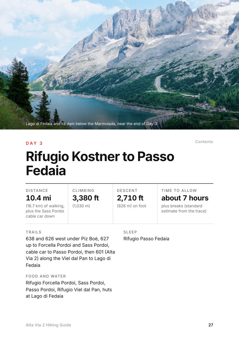
- In huts and hotels. My nights were two in a Corvara hotel, then Rifugio Kostner, Rifugio Passo Fedaia and Rifugio Contrin, and a hotel in Moena. There's no wild camping on the high route, but there are campsites in the valleys.
- How do you get to the start of the Alta Via 2 section?
- From Venice airport, Cortina Express runs to Cortina in about 2 hours, then in summer Dolomitibus lines 52 and 465 go on to La Villa and Corvara. From the north, take the Brenner railway to Brunico and bus 460 to La Villa.
- Do I need via ferrata gear for the Alta Via 2?
- Not for my line. I skipped the via ferrata over Forcella della Marmolada and went around by Malga Ciapela and Passo Ombretta. Val Setus and the way down to Kostner have fixed cables on steep hiking trails.