
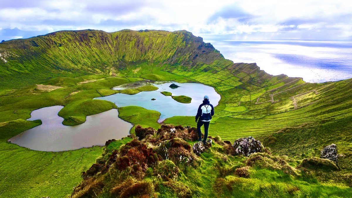
São Miguel, Flores and Corvo, Portugal · February 2024 · Solo
The Azores
76.1 KM · 5 DAYS · 2,480 M
Sete Cidades, the Grande Rota das Flores and Corvo in a week.
Watch the film 14:09 · 344K viewsAt a glance
- Where
- São Miguel, Flores and Corvo, Portugal
- Distance
- 76.1 km (47.3 miles)
- Days
- 5 hiking days in a week: one on São Miguel, three on Flores, one on Corvo
- Climbing
- About 8,150 ft (2,480 m) up and 10,760 ft (3,280 m) down in all, by my GPS
- Difficulty
- Moderate. No scrambling, but steep, slippery climbs and descents on Flores, cliff-edge paths, mud and rain
- Highest point
- About 2,770 ft (845 m) on the Sete Cidades rim, by my GPS
- When I went
- February to March 2024
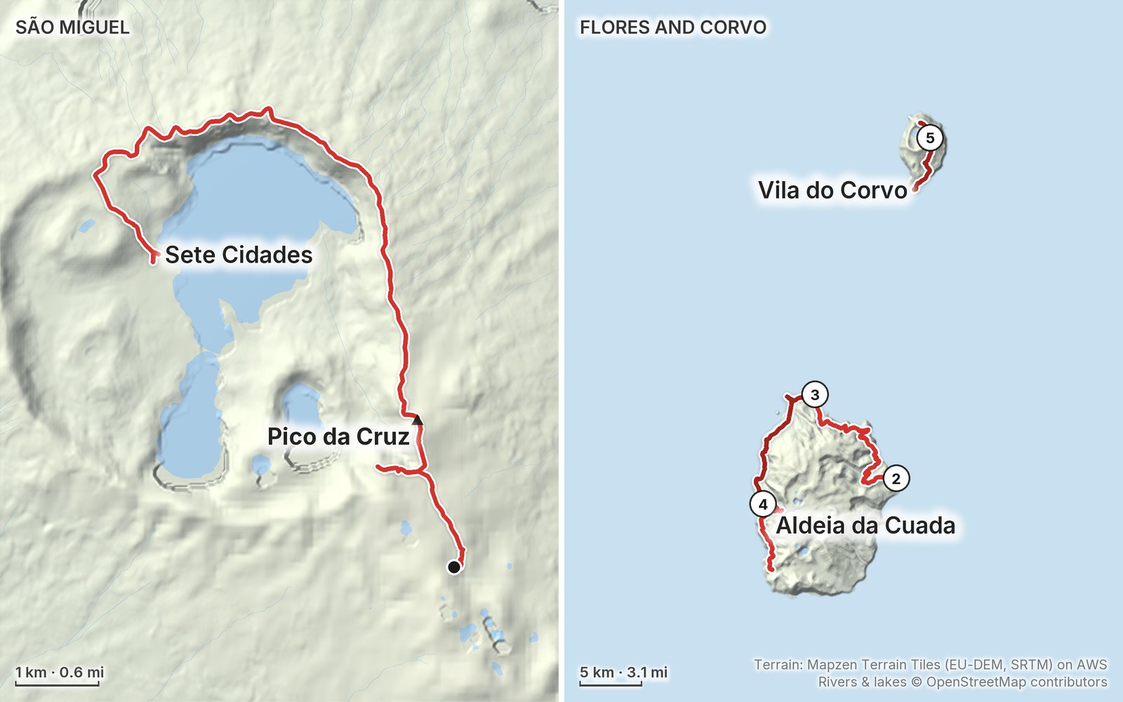
Elevation, start to finish: highest 2,770 ft (845 m), lowest sea level.
My GPS recording on a relief map. The numbers are where each day starts. The GPX files come with the guide.
Everything I made about it
The film

In the journal
Photos
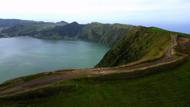
The rim road above Sete Cidades and Lagoa Azul, Day 1. 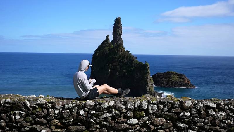
Sea stacks near Alagoa on the north-east coast of Flores, Day 2. 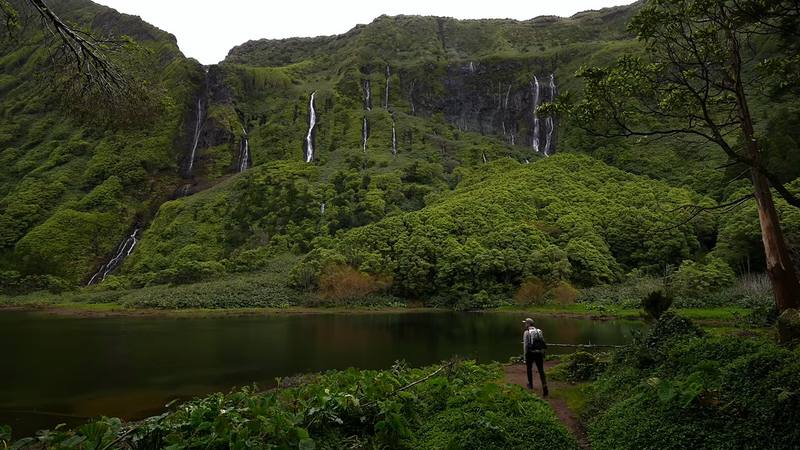
The waterfalls at Poço da Ribeira do Ferreiro, Day 4. 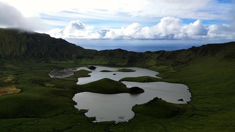
The lakes in Corvo's Caldeirão, Day 5.
The guide · PDF + GPX files · 2027 season edition
Do it yourself
Sete Cidades, the Grande Rota das Flores and Corvo in a week.
- Where things stand
- All five hikes
- My GPX files
- Islands, flights and ferries
- A week on the islands
Free sample
Try Day 2 free
The whole Day 2, Flores airport to Ponta Delgada page from the guide as a PDF, plus my camping packing list: the 42 things I carry, with a note on each. Both come by email. You'll also get my emails about new guides and trips, a few a year.
Gear on this trip
Paid links: I earn a commission if you buy through these links, at no extra cost to you. As an Amazon Associate I earn from qualifying purchases.
What I carried in 2024
- PackHyperlite Mountain Gear Waypoint 35The new pack on this trip. I just don't like how you can see through it sometimes.
- TentNEMO Hornet 1PFor the free campsites at Sete Cidades and Ponta Delgada.
- Kitchena small stove and a gas canister bought in Ponta DelgadaAirport security took the gas the next morning.
- Watera bottle and a water filterFilled at village fountains and once at a stream.
- Sun hoodiePATH Projects Pyrenees T19 Hoodie
- Clothesan insulated jacket, a rain jacket, a cap, shorts and long pants
- Shoestrail shoesIn a lot of mud.
- DaypackArc’teryx Aerios daypack
- Navigationmy phoneIt recorded every hike.
Filming kit
- CameraSony a7S III
- LensSony 16-35mm f/4
- DroneDJI Mini 3 Pro
- Phonean iPhoneFor a few talking shots, holding it up to me.
Music in this film
- A Long Line of Violet HillsAlaskan Tapes · Musicbed
- BrokenAlaskan Tapes · Musicbed
- Fields of Green - InstrumentalTony Anderson · Musicbed
- HollowAlaskan Tapes · Musicbed
- If (feat. Chantal)Alaskan Tapes · Musicbed
- In Cities, In TonguesAlaskan Tapes · Musicbed
- Like Homeinola · Musicbed
- Memoirsinola · Musicbed
- Shades of Greeninola · Musicbed
- Sleep III 432 HzModality Waves · Musicbed
- Through the Treetopsinola · Musicbed
- without you i'm lost (with illi mel)The Field Tapes · Musicbed
What I'd take now
My current kit
- Rain shellArc’teryx Beta AR Jacket
- Warm layerArc’teryx Cerium Hoody
- ShoesOboz Katabatic LT Low GTX
- PolesBlack Diamond Alpine Carbon Z Poles
- WaterKatadyn BeFree AC · 1L
- Power bankNitecore NB20000
Europe bundle
This guide is in Europe Hiking Guide Pack: 11 guides for $39. Or all 62 guides for $59.
Short answers
- Do you need a permit or pay a fee to hike in the Azores?
- No, not for the trails in this guide. In 2026 there was no permit, booking or fee for Sete Cidades, the Grande Rota das Flores or Corvo's trails; the only Azores trail that needs registration is Mount Pico. Camping is allowed only at campsites.
- Is the Grande Rota das Flores open?
- Half of it, in October 2026. Stage 1, Santa Cruz das Flores to Ponta Delgada, is open. Stage 2 is listed as closed because the Ponta Delgada to Fajã Grande trail (PR01FLO) is temporarily closed; Fajã Grande to Lajedo (PR02FLO) is open. Check the alerts on trails.visitazores.com.
- How long is the Grande Rota das Flores?
- The official trail is 47 km in two stages, 21 km and 26 km. By my GPS, walking from Flores airport with a detour to the Poço da Ribeira do Ferreiro waterfalls, it was 32.7 miles (52.6 km) and about 7,240 ft of climbing in three days.
- How do you get to Flores and Corvo?
- Fly to Ponta Delgada on São Miguel, then SATA Air Açores flies direct to Flores. From Flores to Corvo there's a short flight or Atlânticoline's ferry, about 40 minutes. Wind cancels Corvo's flights and boats most often from November to March, so keep spare days.
- Can you wild camp in the Azores?
- No. Camping outside campsites isn't allowed in the protected areas and island parks, and fines can reach about €600. There are free campsites at Sete Cidades and along the Grande Rota das Flores at Santa Cruz, Alagoa, Ponta Delgada and Fajã Grande; Corvo's needs written permission.
- When is the best time to hike in the Azores?
- June to September is warmest and driest. Winter, about November to March, is cheap and empty but wet and windy, with more cancelled flights. Expect rain and cloud on the crater rims in any season.
I make my guides with AI, from my own films and GPS recordings. How.