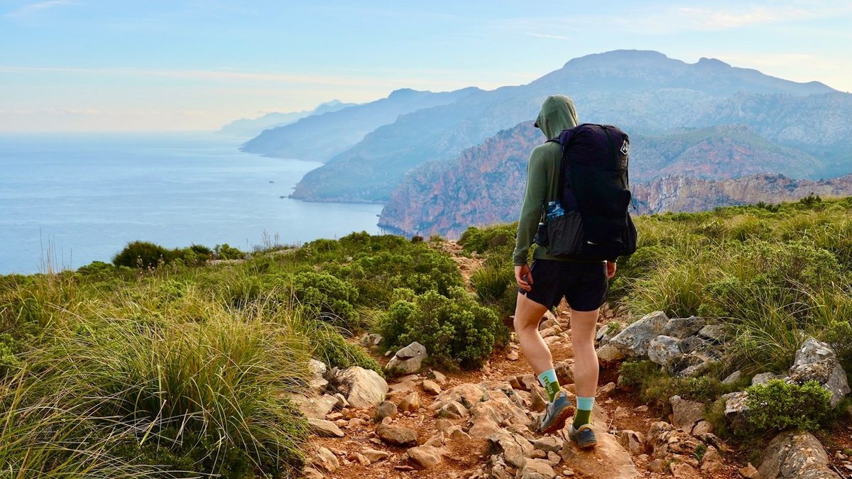
Mallorca, Spain
GR221
5 days · 88 miles · refuges or camping
The Dry Stone Route across Mallorca's mountains, from Port d'Andratx to Pollença.
- All five days
- A map and elevation profile for every day
- GPX files
- Water
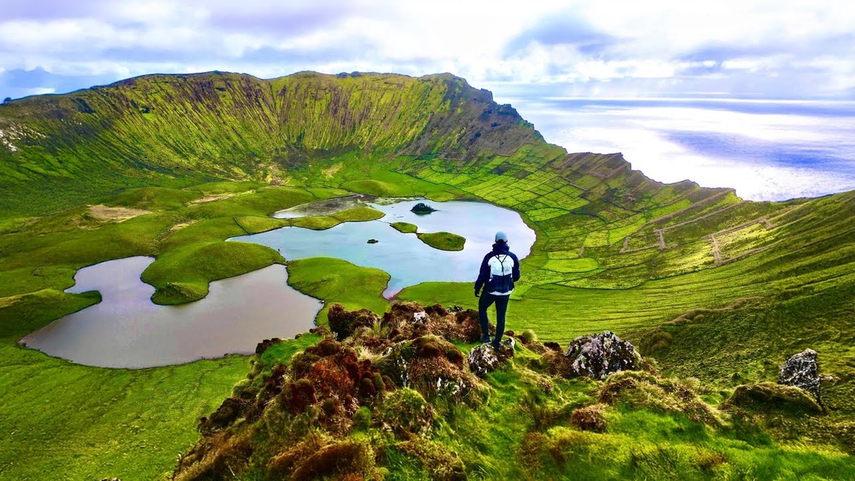
São Miguel, Flores and Corvo, Portugal · 5 hikes · 47.3 miles
Sete Cidades, the Grande Rota das Flores and Corvo in a week.
Watch the film · 344K viewsReal pages from the guide. Tap one to see it big.
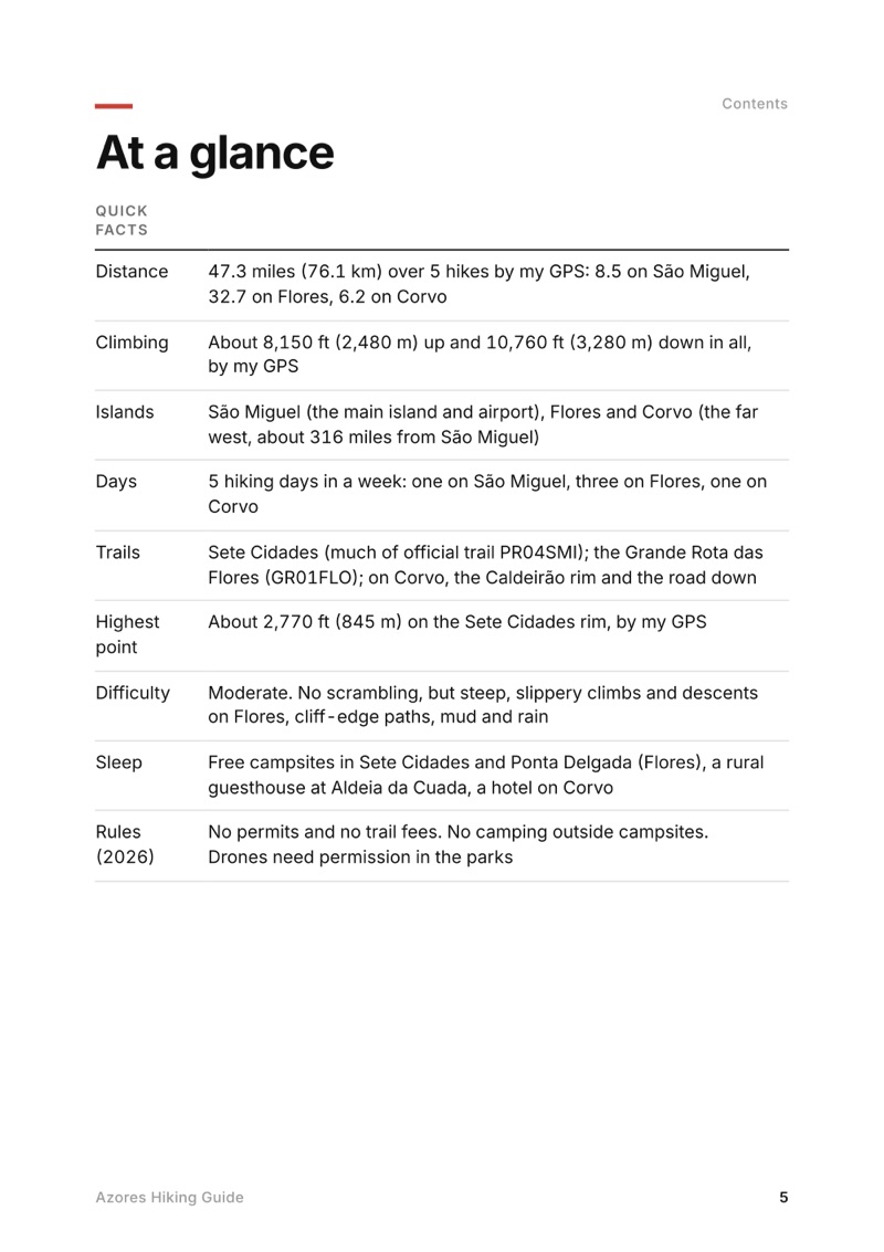
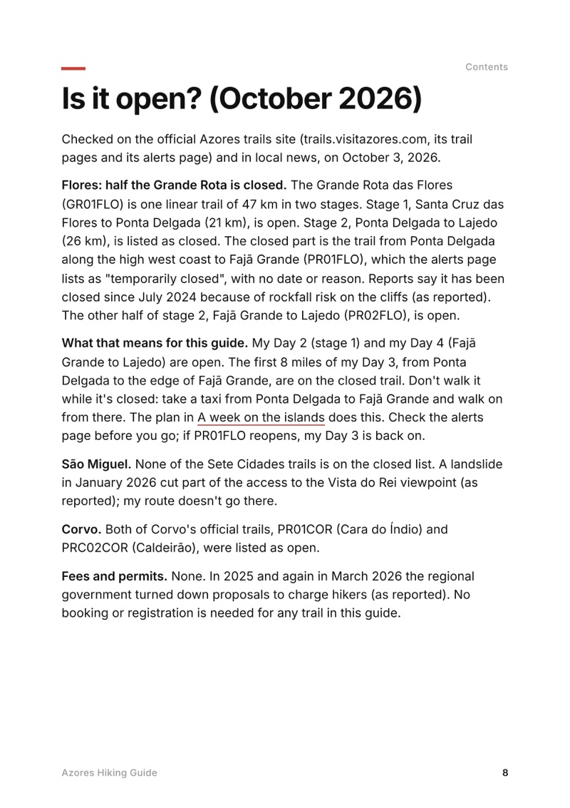
Swipe for more pages
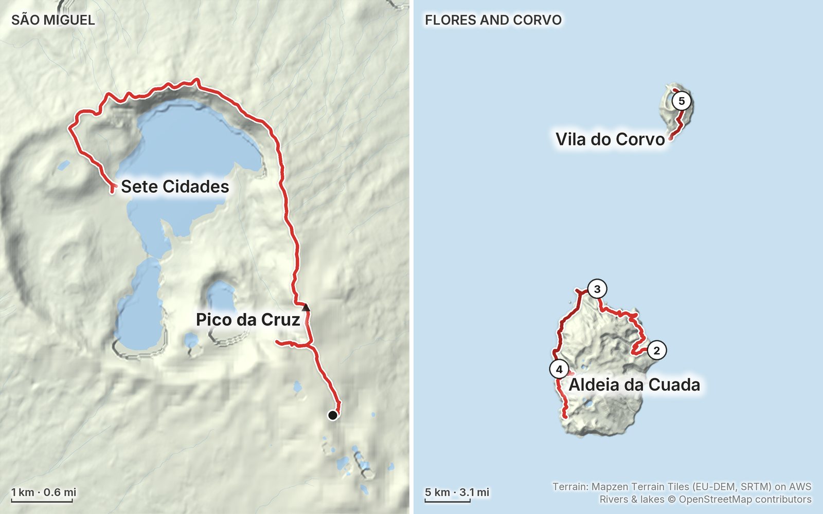
Get Day 2 freeMy GPS recording of 5 days on a relief map. One map for São Miguel, one for Flores and Corvo; the numbers are where each day starts. The full GPX files and the day maps come with the guide.
Elevation, start to finish: highest 2,770 ft (845 m), lowest sea level.
In late February and early March 2024 I spent a week alone in the Azores: the rim of the Sete Cidades crater on São Miguel, three days on the Grande Rota das Flores from Flores airport round the north and west coasts to Lajedo, with a night in my tent at Ponta Delgada and a night at Aldeia da Cuada, and the Caldeirão crater on Corvo, where wind kept me two extra nights. It's the trip from my film Hiking Alone in the Azores. This guide has my GPX files, maps and notes for all five hikes, the October 2026 trail closures and how to get around them, which islands and where to base yourself, flights and ferries between the islands, a plan for the week, costs, rain, wind and safety, and a trip sheet.
Watch the film on YouTube (344K views).
Paid links: I earn a commission if you buy through these links, at no extra cost to you. As an Amazon Associate I earn from qualifying purchases.
I have no full gear list for this trip: this is from my film, its description and my live stream.
My current kit for what these islands need.
What I filmed this trip with in 2024. My setup is smaller now (below). Drones need permission in the parks: check The rules before you fly.
Everything I carry now: my gear page.
Free sample + packing list
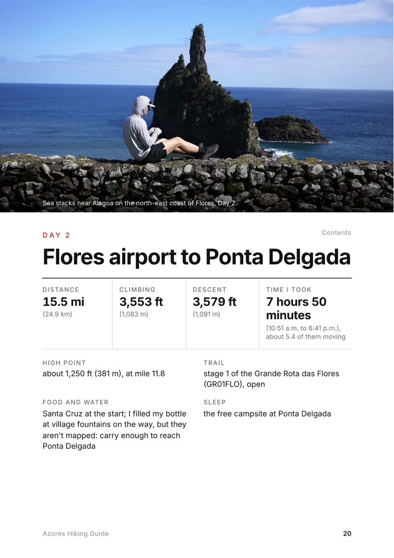
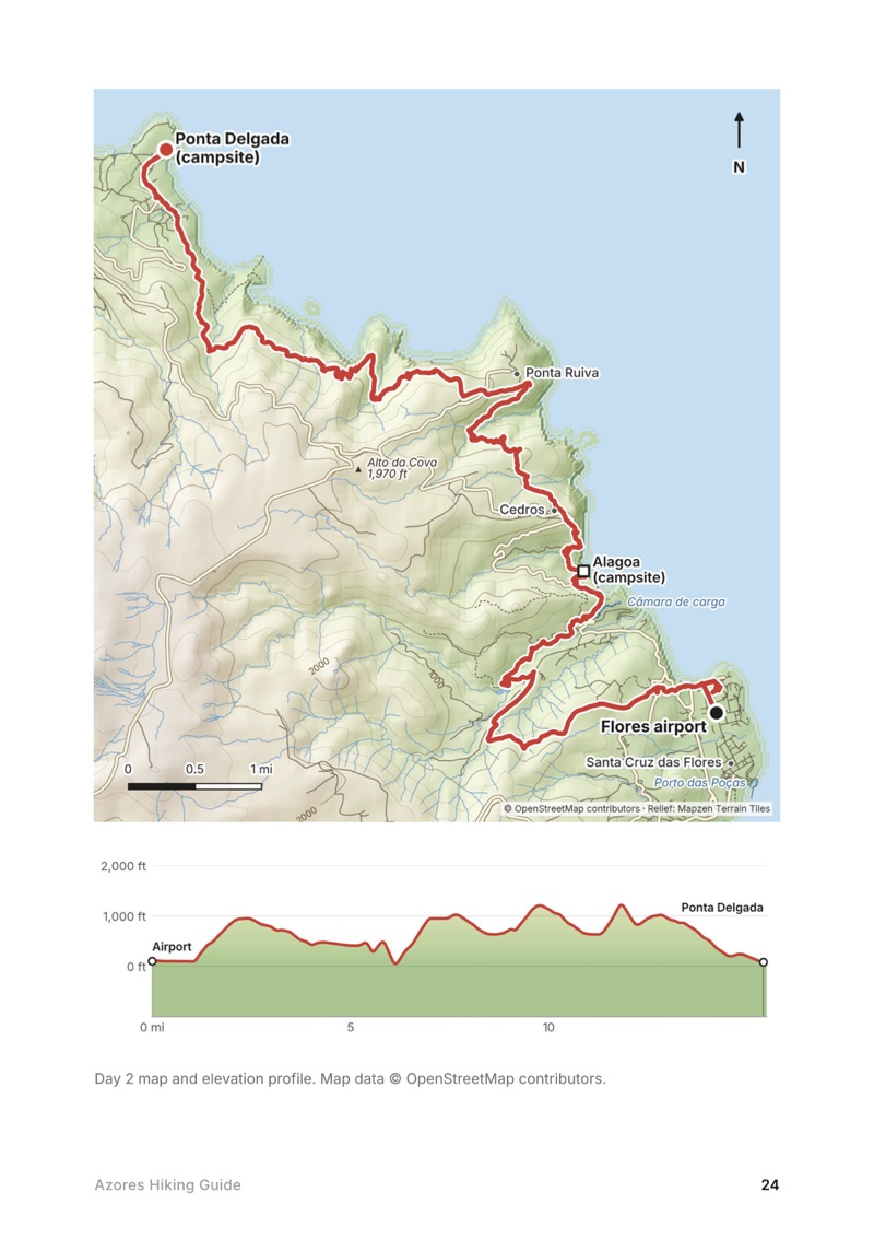
Flores airport to Ponta Delgada
The whole day page from the guide as a PDF, plus my camping packing list: the 42 things I carry, with a note on each. The PDF opens right away and both come by email. You'll also get my emails about new guides and trips, a few a year.
Mallorca, Spain
5 days · 88 miles · refuges or camping
The Dry Stone Route across Mallorca's mountains, from Port d'Andratx to Pollença.
Tenerife, Spain
5 days · 80.5 miles · Tenerife, Canary Islands
A 5-day walk across Tenerife: Cruz del Carmen in the Anaga mountains to the north coast and back to La Laguna, then the GR 131 through the Corona Forestal, past El Portillo and across Las Cañadas below Teide to Vilaflor.
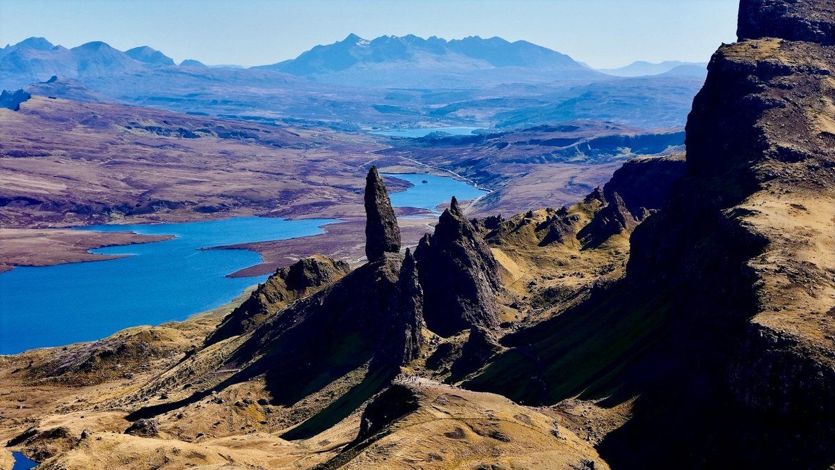
Isle of Skye, Scotland
4 days · 82 miles · wild camping
The length of Skye, from Rubha Hunish over the Trotternish ridge to Broadford.
I'm making guides for more of my hikes, and I host a group trip about once a year. Get an email when a new guide or trip is out. A few emails a year.