
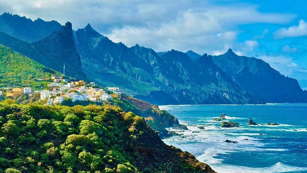
Tenerife, Canary Islands, Spain · December 2024 · Solo
Across Tenerife
129.5 KM · 5 DAYS · 5,070 M
Across Tenerife on foot, from Anaga to Vilaflor below Mount Teide in 5 days.
Watch the film 30:30 · 113K viewsAt a glance
- Where
- Tenerife, Canary Islands, Spain
- Distance
- 129.5 km (80.5 miles)
- Days
- 5 walking days and a zero day, December 9 to 14, 2024
- Climbing
- About 16,640 ft (5,070 m) up and 15,120 ft (4,610 m) down
- Difficulty
- Long days with big climbs; well-marked trails and forest tracks, some steep and rough in Anaga
- Route
- Cruz del Carmen to Vilaflor
- When I went
- December 2024
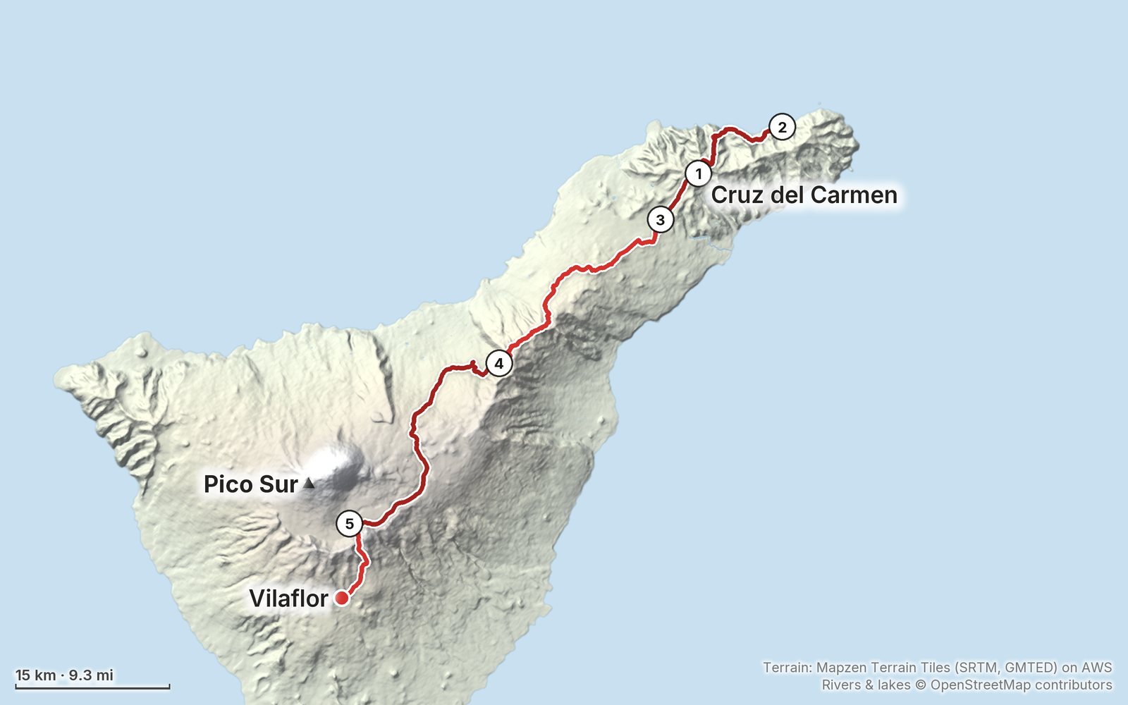
Elevation, start to finish: highest 7,910 ft (2,411 m), lowest 40 ft (13 m).
My GPS recording on a relief map. The numbers are where each day starts. The GPX files come with the guide.
Everything I made about it
The film

Photos
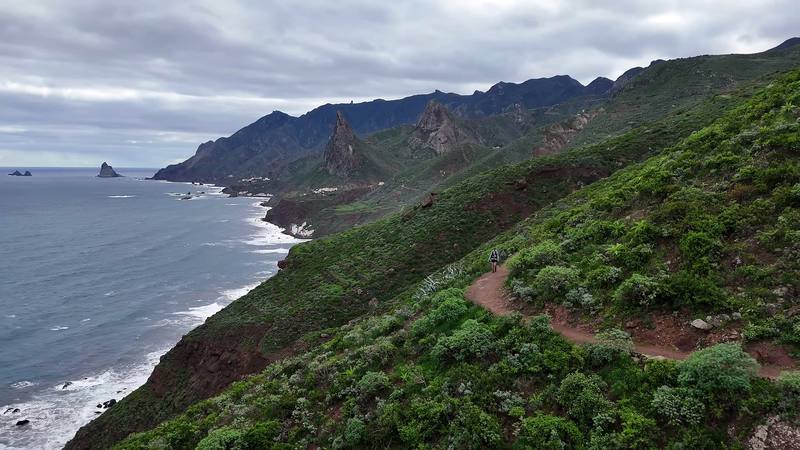
The coast path on Anaga's north shore. 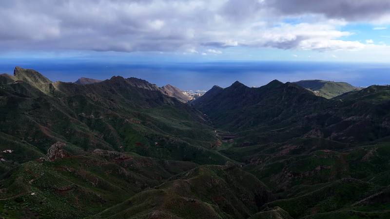
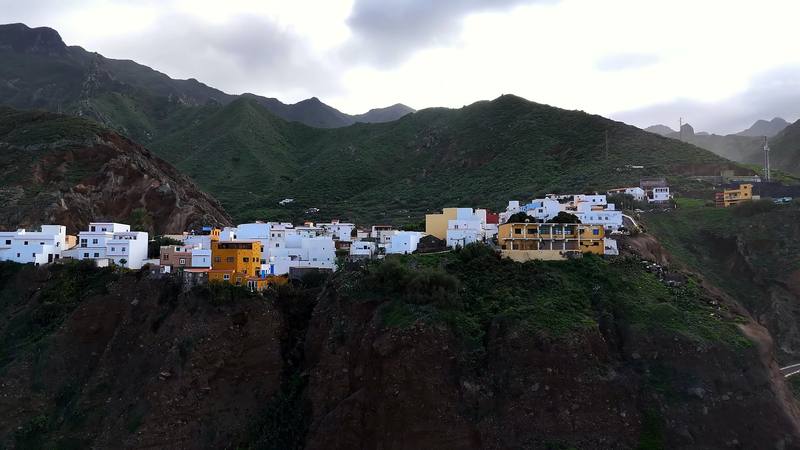
The Anaga mountains from my drone. 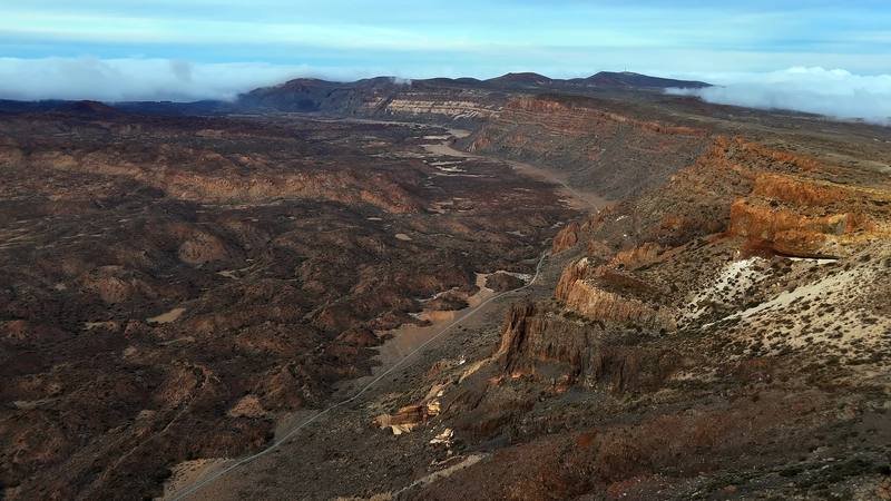
Las Cañadas, the old caldera below Teide, from my drone, Day 4. 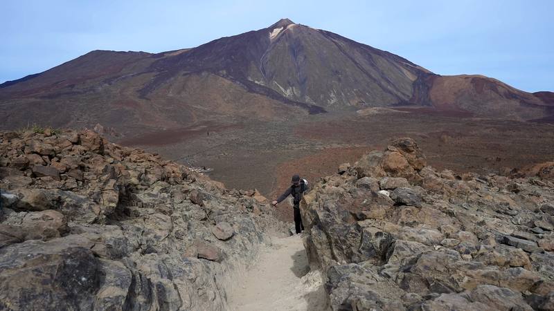
Teide from the trail up to the Degollada de Ucanca, Day 5.
The guide · 62-page PDF + GPX files · 2027 season edition
Do it yourself
Across Tenerife on foot, from Anaga to Vilaflor below Mount Teide in 5 days.
- Where things stand
- All five days
- My GPX files
- Camping, Teide and the rules
- Bases, buses and a plan
Free sample
Try Day 4 free
The whole Day 4, Above Aguamansa to the Parador page from the guide as a PDF, plus my hut-to-hut packing list: the 35 things I carry, with a note on each. Both come by email. You'll also get my emails about new guides and trips, a few a year.
Music in this film
- AlbanyMadron · Musicbed
- at the pictures feat. Cassidy GodwinLofi Sunday · Musicbed
- BaysideHaines · Musicbed
- Before We BeginCRFT · Musicbed
- BraemarMadron · Musicbed
- Chilling In London feat. Just DerrickLofi Sunday · Musicbed
- Coastlinesyonderling · Musicbed
- FloatingMadron · Musicbed
- Good Morningcoldbrew · Musicbed
- harvestshope mona · Musicbed
- LisburneMadron · Musicbed
- Maida ValeMadron · Musicbed
- Seas of SilenceMadron · Musicbed
- Simple ThingsMadron · Musicbed
- Still HomeSlo Loris · Musicbed
- The North WoodsMadron · Musicbed
- WaitingMadron · Musicbed
What I'd take now
My current kit
Europe bundle
This guide is in Europe Hiking Guide Pack: 11 guides for $39. Or all 62 guides for $59.
Short answers
- Can you walk across Tenerife?
- Yes. The GR 131 (Anaga-Chasna) crosses Tenerife for 85.55 km from El Rosario and La Esperanza, through the Corona Forestal and Las Cañadas below Teide, to Arona in the south, with no booking needed. I walked from Cruz del Carmen in Anaga to Vilaflor in five days, about 80.5 miles by my GPS, and stopped there sick, one stage short of the coast.
- Can you wild camp on Tenerife?
- No. Camping in Tenerife's protected natural spaces and public forests needs an authorization, which means booking one of the Cabildo's camping zones on Tenerife ON (no fee shown in 2026, 7 nights at most per person), and camping isn't allowed in Teide National Park. The Cabildo lists a 400 euro fine for camping in a restricted zone.
- Do you need a permit to climb Teide?
- Yes, for the last 0.66 km to the summit (trail 10, Telesforo Bravo). Book it on Tenerife ON; since January 19, 2026, slots between 9 a.m. and 5 p.m. cost 15 euros for visitors. A night at the Refugio de Altavista, reopened in July 2026, includes an early-morning summit permit.
- How much is the Teide cable car?
- In 2026 a return ticket is 42 euros for visitors (23.50 one way). From October 25 to December 31 the last ride up is at 4 p.m. It closes in strong wind, and the ticket doesn't include the summit permit.
- Is there water on the GR 131 on Tenerife?
- Not reliably between La Esperanza and El Portillo: the taps at picnic areas and camping zones are often marked not drinkable. Fill up in La Esperanza and Aguamansa and carry 2 to 3 liters.
- When is the best time to hike across Tenerife?
- By AEMET's averages, March to May and October to early November. December to February brings rain and cloud in Anaga and frost, snow and wind up high; summer is hot in the south and the season of highest fire risk.
I make my guides with AI, from my own films and GPS recordings. How.