
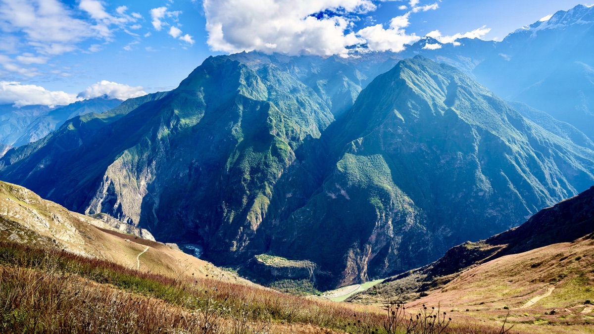
Apurímac canyon and the Andes near Cusco, Peru · May 2019 · Solo
Choquequirao and Ausangate
47.2 KM · 3 DAYS · 3,800 M
3 days alone to the Inca ruins above Peru's Apurímac canyon.
Watch the film 12:27 · 804K viewsAt a glance
- Where
- Apurímac canyon and the Andes near Cusco, Peru
- Distance
- 47.2 km (29.3 miles)
- Days
- 3 walking days, 2 nights in my tent. Most people take 4 or 5
- Climbing
- About 12,460 ft (3,800 m) up and the same down
- Season
- The dry season, about May to September. I walked May 25 to 27, 2019
- Difficulty
- Steep: two big climbs in the heat each way, on a clear mule trail. My Day 2 was one of the toughest things I've ever done
- Start and end
- Capuliyoc
- When I went
- May 2019
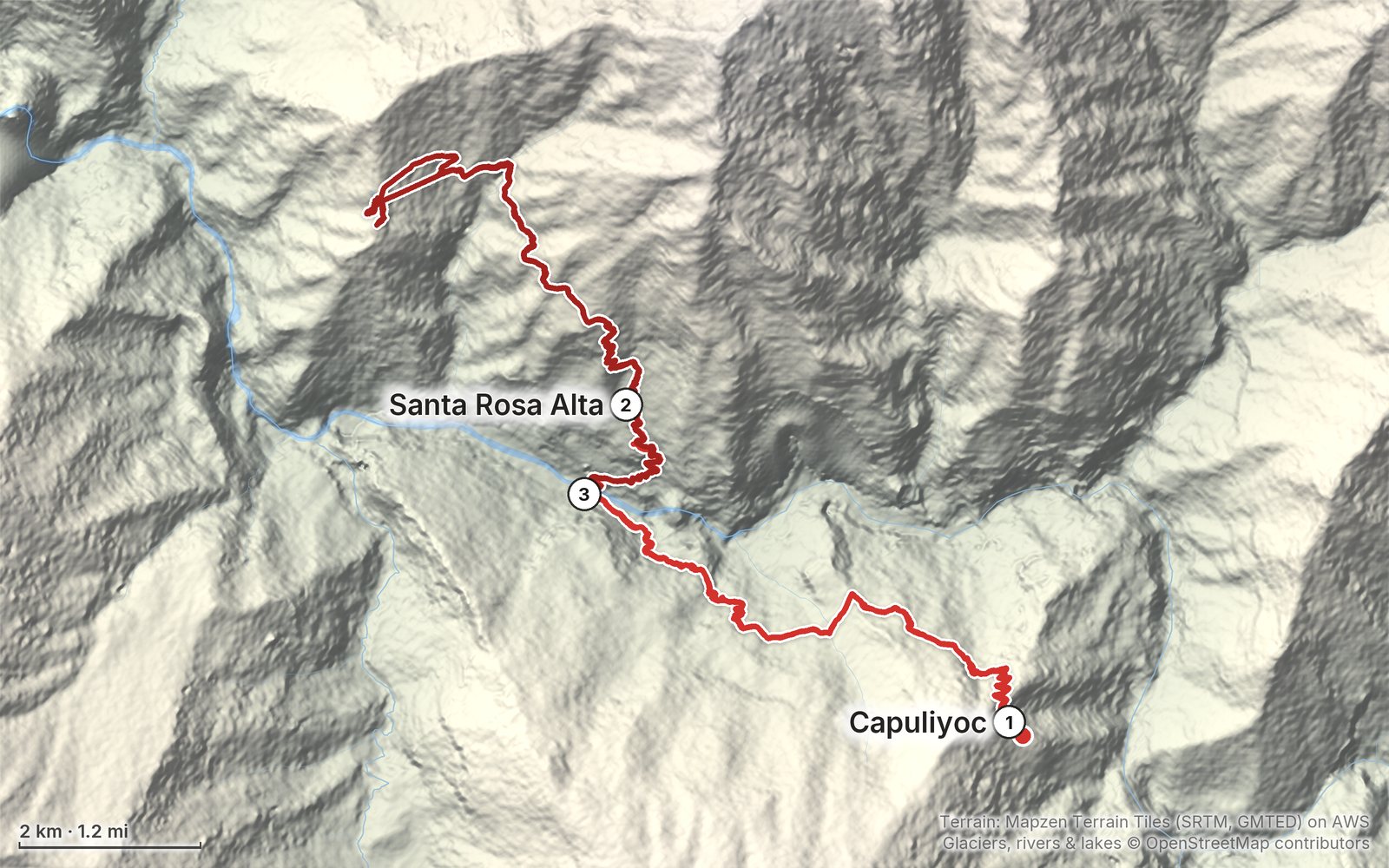
Elevation, start to finish: highest 10,050 ft (3,064 m), lowest 4,850 ft (1,479 m).
My GPS recording on a relief map. The numbers are where each day starts. The GPX files come with the guide.
Everything I made about it
The films
 Hiking film · 2019Hiking Alone in Peru12:27 · 804K views
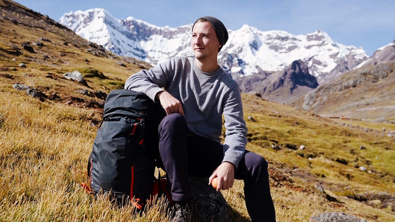 Vlog · 2019Living Out of a Backpack in Peru13:02 · 109K views
Photos
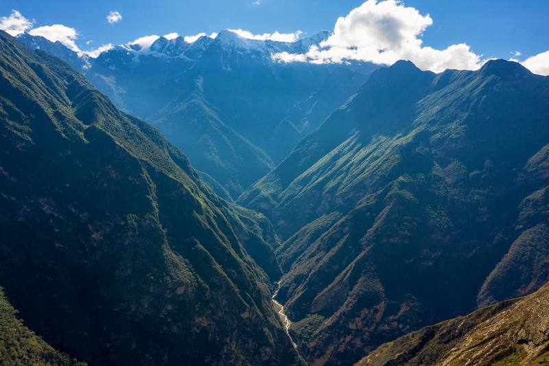
The Apurímac canyon and the snow peaks beyond it, on the way down on Day 1. 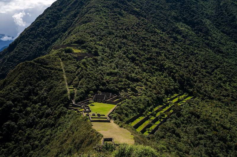
The terraces of Choquequirao from above, Day 2. 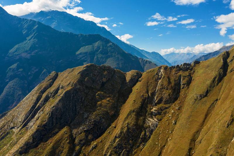
The canyon slopes that Day 3 climbs, seen on the way down on Day 1.
The guide · 43-page PDF + GPX files · 2027 season edition
Do it yourself
3 days alone to the Inca ruins above Peru's Apurímac canyon.
- All three days
- My GPX files
- The park
- Getting there
- Campsites, food and water
Free sample
Try Day 2 free
The whole Day 2, Santa Rosa Alta to Choquequirao and back to Playa Rosalina page from the guide as a PDF, plus my camping packing list: the 42 things I carry, with a note on each. Both come by email. You'll also get my emails about new guides and trips, a few a year.
Gear on this trip
Paid links: I earn a commission if you buy through these links, at no extra cost to you. As an Amazon Associate I earn from qualifying purchases.
What I carried in 2019
- Packa 45-liter pack
- WaterCamelBak bladder
- TentREI Passage tentSimilar now: NEMO Hornet Elite OSMO 1P
- Sleeping bagmy sleeping bag
- Sleeping matWellaX Ultralight Air Sleeping Pad
- Water filtermy water filter
- StoveJetboil Flash
- SpoonTOAKS Titanium Long Handle Spoon
- Clothespants and long sleevesIt was hot, but I'd wear them for the mosquitoes.
Filming kit
- CameraSony a7 IIIPlus SD cards and extra batteries: there's nowhere to charge on the trail.
- LensSony FE 16-35mm f/2.8 GM
- MicRode VideoMic Pro+Similar now: Rode VideoMic NTG
- TripodPeak Design Travel TripodSimilar now: SmallRig Carbon Fiber Tripod
- DroneDJI Mavic 2 ProNo longer made.
What I'd take now
My current kit
The Americas and New Zealand bundle
This guide is in The Americas and New Zealand Hiking Guide Pack: 36 guides for $39. Or all 62 guides for $59.
Short answers
- How many days do you need for the Choquequirao trek?
- I did it alone in 3 walking days, 29.3 miles out and back from Capuliyoc, with 2 nights in my tent. Most people take 4 or 5 days, and my Day 2, up to the ruins and back down to the river, was far too long.
- When is the best time to hike to Choquequirao?
- The dry season, about May to September. Avoid January to April, when landslides damage the trail: the park closed from February 1, 2026 until the Cachora route reopened on April 15, 2026. I walked May 25 to 27, 2019.
- Do you need a guide or a permit for Choquequirao?
- No guide was required on my trip, and I found no official rule requiring one in 2026. You need an entry ticket, S/60 general or S/30 for students in 2026, valid for one day. I paid at the booth at Capuliyoc, and in September 2026 it wasn't sold online, so bring cash in soles.
- Where do you sleep on the Choquequirao trek?
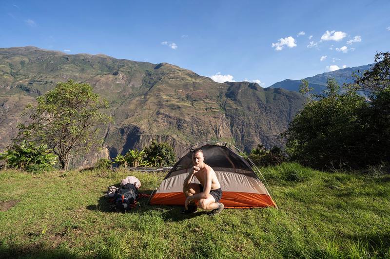
- At the campsites along the trail; you can't camp inside the archaeological site. I slept in my tent at Santa Rosa Alta and Playa Rosalina, and I'd recommend at least one night at Marampata.
- How do you get to the start of the Choquequirao trek?
- Take a bus from Cusco toward Abancay to the Cachora turnoff, then a taxi to Cachora, about 3 hours by road from Cusco. From Cachora it's about 11 km by taxi to the Capuliyoc trailhead. In 2019 I paid S/20 for the bus and about $10 for each taxi.
I make my guides with AI, from my own films and GPS recordings. How.