
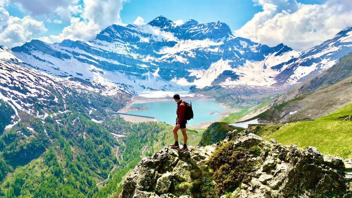
Valais, Switzerland · June 2023 · Solo
Tour des Dents du Midi
68.3 KM · 4 DAYS · 3,720 M
4 days around the Dents du Midi from Saint-Maurice.
Watch the film 19:55 · 251K viewsAt a glance
- Where
- Valais, Switzerland
- Distance
- 68.3 km (42.5 miles)
- Days
- 4 walking days, 3 nights in huts and a guesthouse
- Climbing
- The loop: about 12,200 ft (3,720 m) up and the same down
- Season
- Officially June to October, depending on the snow. I walked June 2 to 5, 2023, with snow on the high pass
- Difficulty
- T2 and T3 on the Swiss hiking scale: mountain paths, a chained rock step and a high pass that holds snow into summer
- Start and end
- Saint-Maurice station
- When I went
- June 2023
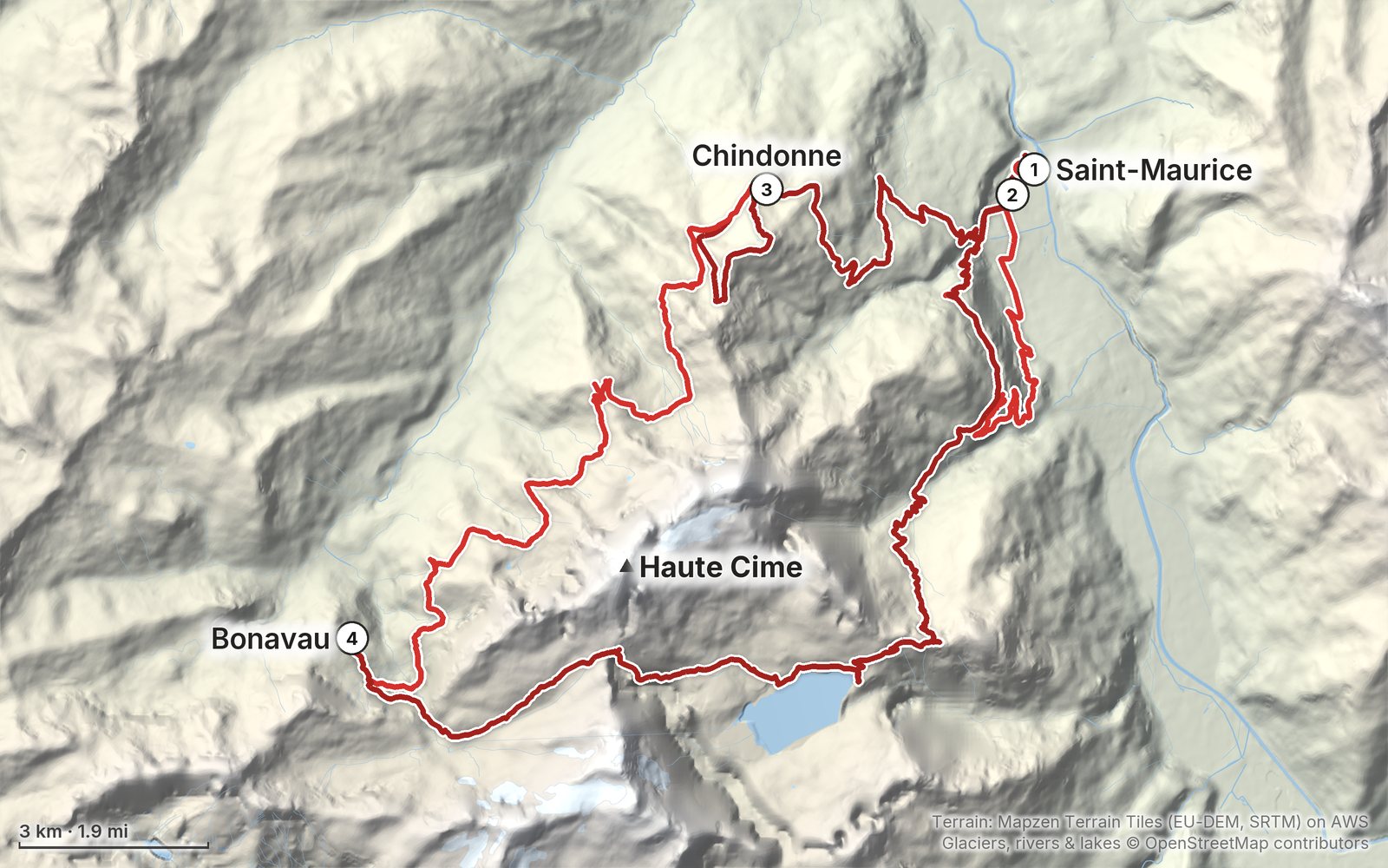
Elevation, start to finish: highest 7,980 ft (2,433 m), lowest 1,350 ft (411 m).
My GPS recording on a relief map. The numbers are where each day starts. The GPX files come with the guide.
Everything I made about it
The film
Photos
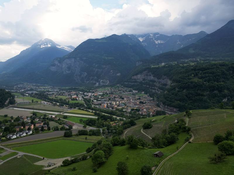
The Rhône valley at Saint-Maurice from my drone, at the start of Day 1. 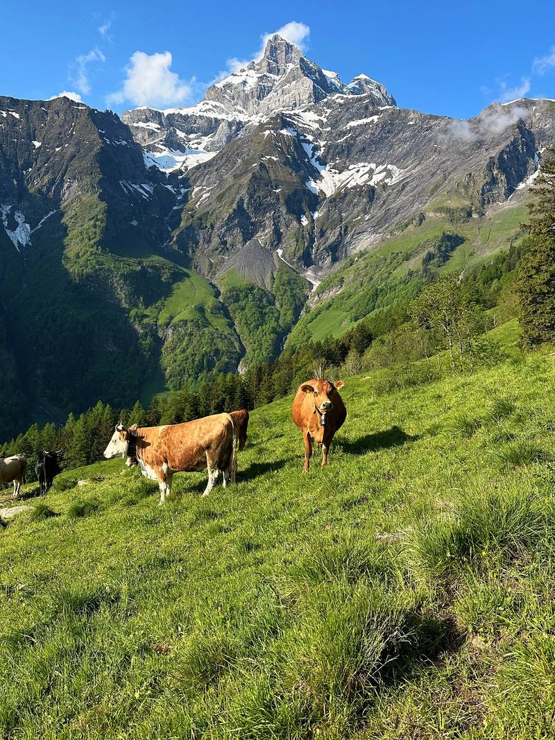
Cows in the meadows above Vérossaz, Day 2. 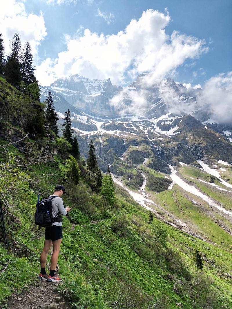
On the trail under the Dents du Midi, Day 3, from my drone. 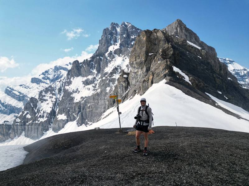
Me at the Col de Susanfe signpost, 2,494 m, Day 4, from my drone.
The guide · 53-page PDF + GPX files · 2027 season edition
Do it yourself
4 days around the Dents du Midi from Saint-Maurice.
- All four days
- My GPX files
- Huts and booking
- Getting there
- Snow and safety
Free sample
Try Day 4 free
The whole Day 4, Bonavau over the Col de Susanfe to Saint-Maurice page from the guide as a PDF, plus my hut-to-hut packing list: the 35 things I carry, with a note on each. Both come by email. You'll also get my emails about new guides and trips, a few a year.
Music in this film
- BallerinaYehezkel Raz · Artlist
- Before You LeftYehezkel Raz · Artlist
- Breath InYehezkel Raz · Artlist
- Four on FiveYehezkel Raz · Artlist
- Good Morning Sunshine (feat. Mantrick)Yestalgia · Artlist
- I See You in LightWe Dream of Eden · Artlist
- LaniakeaYehezkel Raz · Artlist
- Liminal SpacesLiquid Memoirs · Artlist
- Slowly UnderstandingYehezkel Raz · Artlist
- The Beat DetectorNovembers · Artlist
What I'd take now
My current kit
The Alps bundle
This guide is in The Alps Hiking Guide Pack: 7 guides for $39. Or all 62 guides for $59.
Short answers
- How long is the Tour des Dents du Midi?
- The official tour is 46 km (about 28.6 miles) with about 3,350 m of climbing. I walked it from Saint-Maurice in the Rhône valley, which adds the climbs from the valley: 42.5 miles (68.3 km) and about 12,200 ft (3,720 m) up on my GPS, June 3 to 5, 2023.
- How many days does the Tour des Dents du Midi take?
- The official site says two, three or four days. My loop took three days from Saint-Maurice, with a last day of 17.9 miles; four days with a bed every night is the comfortable version.
- Where do you sleep on the Tour des Dents du Midi?
- In huts and mountain inns: the Auberge de Chindonne, the Cabane d'Anthème, the Refuge de Bonavau, the Auberge de Salanfe and the Auberge de l'Armailli in Mex. Half board was CHF 72 to 85 a night in 2026. The Cabane de Susanfe is closed for nights in 2027 while it is rebuilt. Book each one directly.
- When can you hike the Tour des Dents du Midi?
- The official site says June to October, depending on the snow. The Col de Susanfe (2,494 m) holds snow into summer; the official advice is crampons and an ice axe while it is snowy. I crossed it on June 5 with microspikes and an ice axe.
- How do you get to the Tour des Dents du Midi?
- By train to Saint-Maurice: in 2026 a direct train from Geneva Airport took 1 hour 35 minutes. PostBus lines run from Saint-Maurice to Vérossaz and Mex, and the regional train runs to Champéry.
- Can you camp on the Tour des Dents du Midi?
- Wild camping is generally banned in Switzerland, and camping and bivouac are banned in the communes of Champéry and Val-d'Illiez. There is no official campsite on the tour. The Auberge de l'Armailli in Mex allows a bivouac beside the inn.
I make my guides with AI, from my own films and GPS recordings. How.