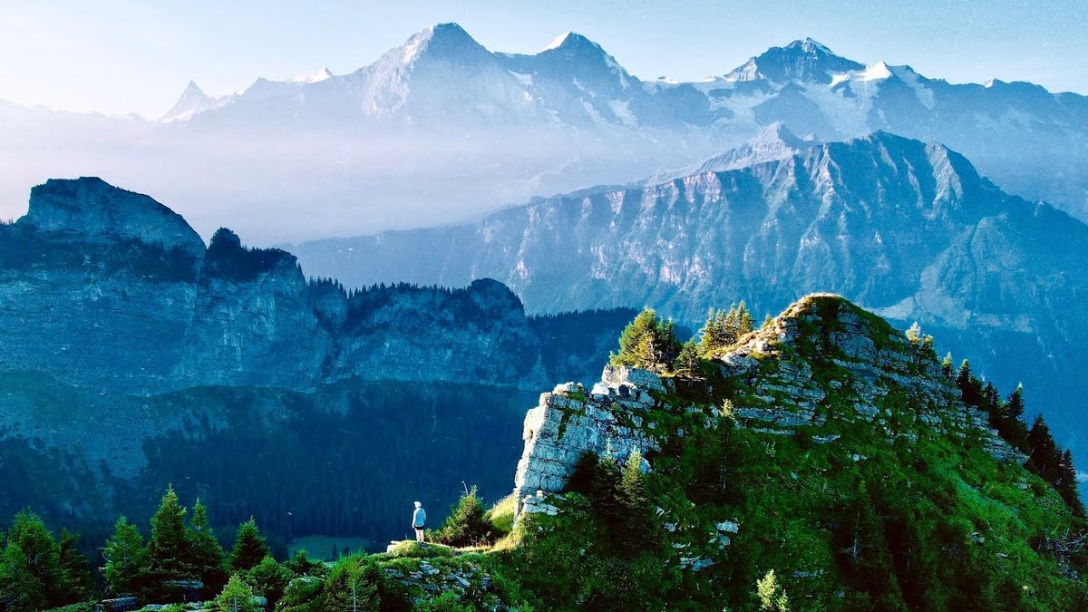
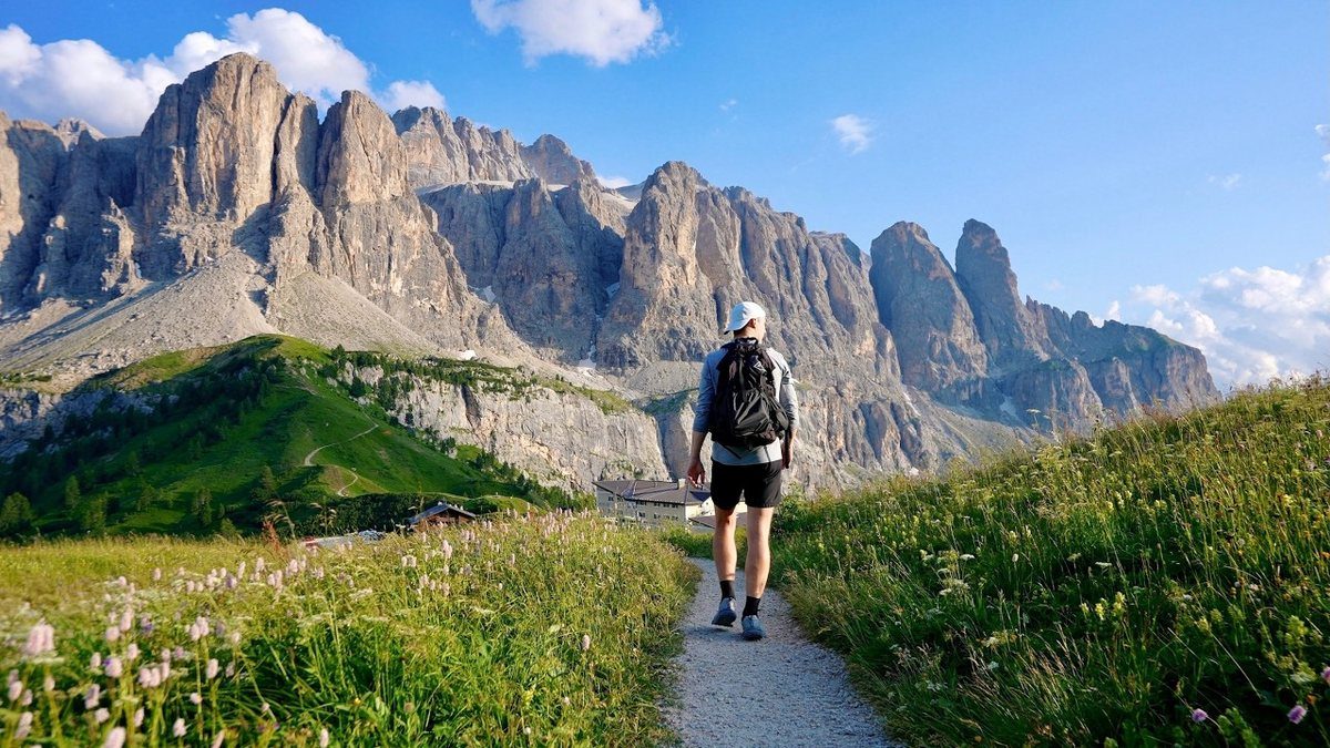
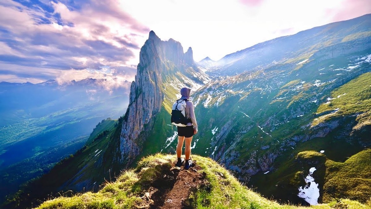
Valais, Switzerland · 4 days · 42-mile loop · huts

Tour des Dents du Midi Hiking Guide

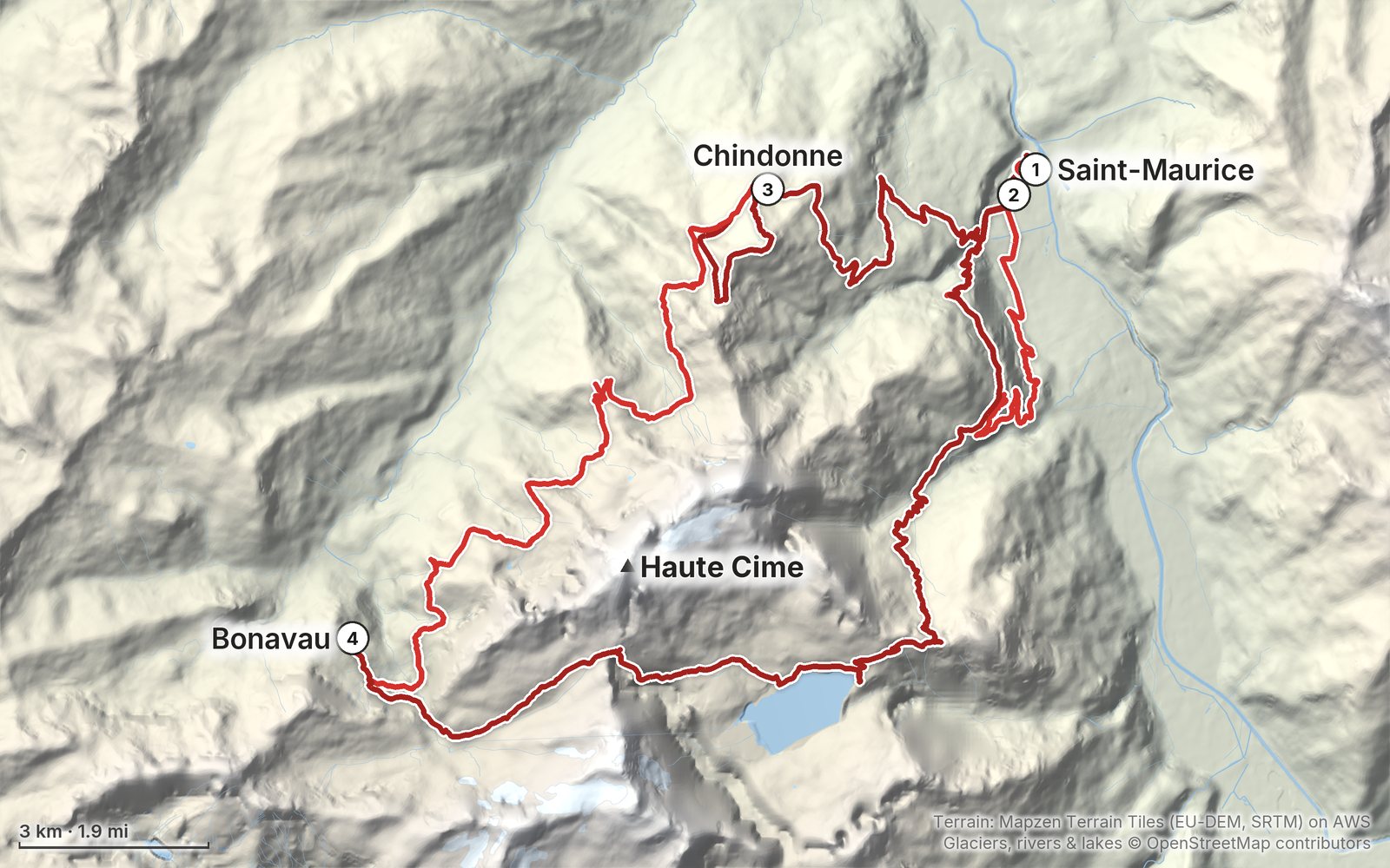
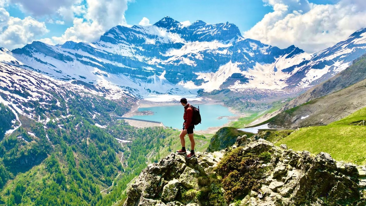
In June 2023 I hiked the Tour des Dents du Midi in Valais, Switzerland: a loop from Saint-Maurice up to the Auberge de Chindonne, along the high meadows past Anthème to the Refuge de Bonavau, over the snowy Col de Susanfe to Lac de Salanfe, and over the Col du Jorat back down through Mex. 42 miles on the loop on my GPS, plus a first day cut short by hail. It's the trip from my film Hiking 50 miles on the Dents du Midi in Switzerland. This guide has my GPS files, maps and notes for every day, the huts and how to book them in 2026 and 2027 (the Cabane de Susanfe is closed for rebuilding in 2027), trains and buses from Geneva, and the early-season snow on the Col de Susanfe.

$19Watch the film
The cover of the Tour des Dents du Midi Hiking Guide

What's inside

Look inside

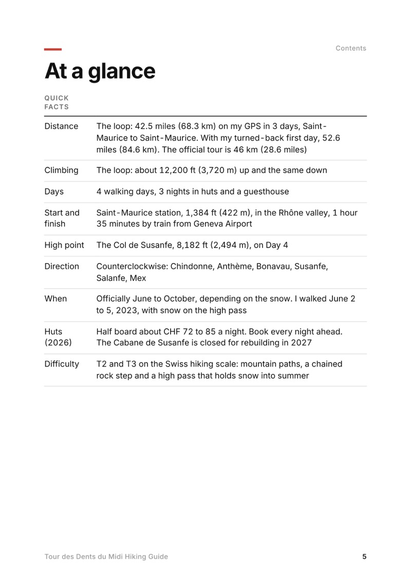
At a glance page from the Tour des Dents du Midi Hiking Guide
At a glance
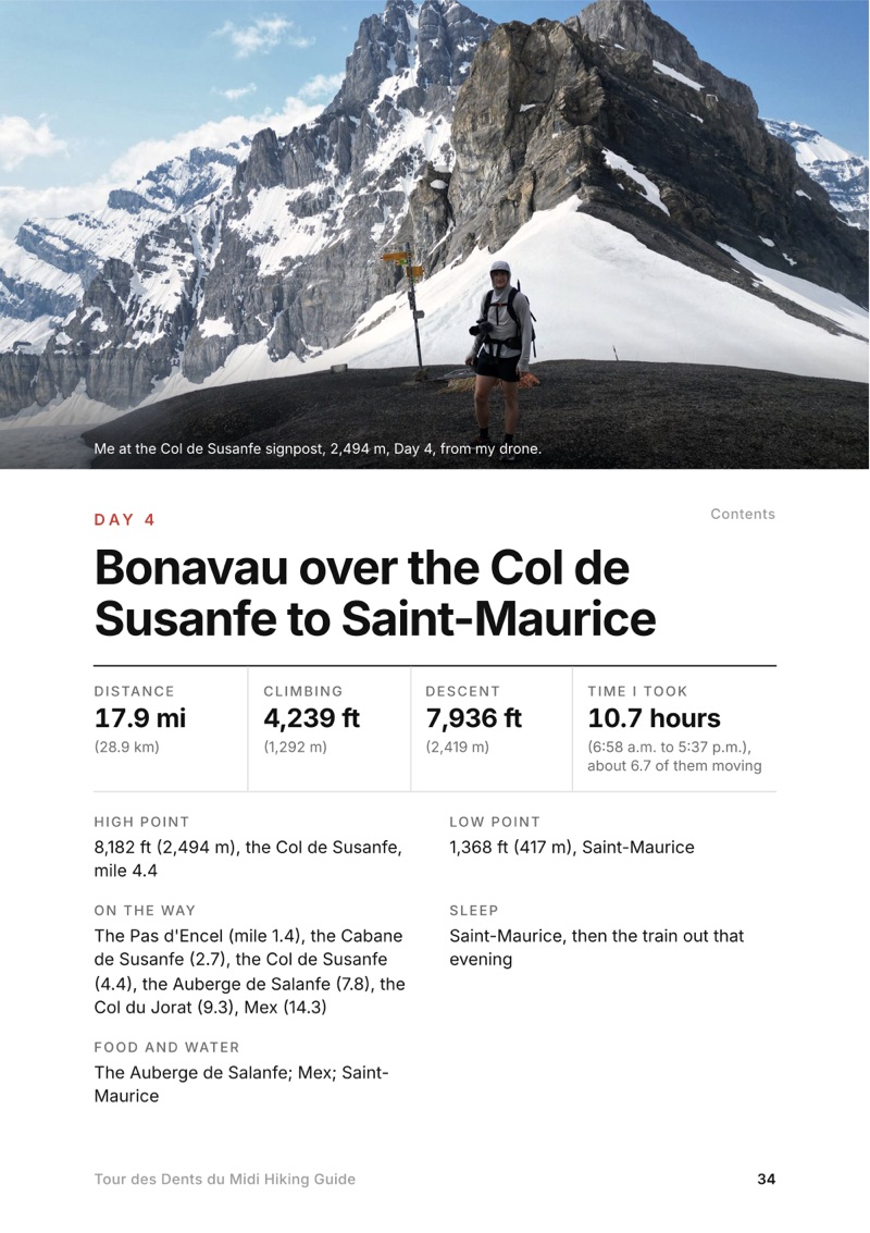
A day page page from the Tour des Dents du Midi Hiking Guide
A day page
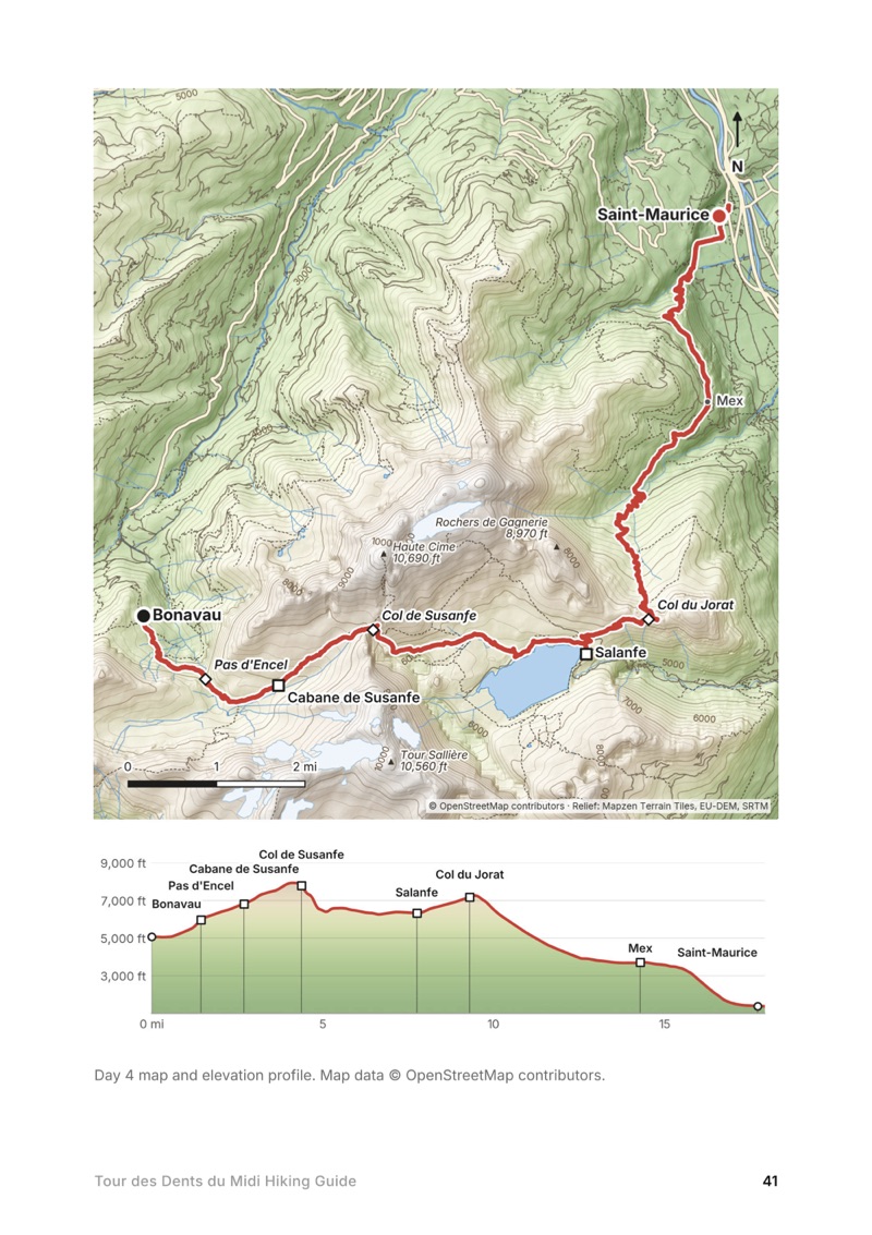
A day map and elevation profile page from the Tour des Dents du Midi Hiking Guide
A day map and elevation profile
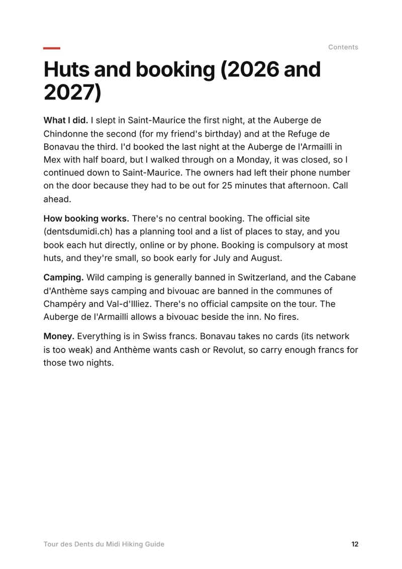
Huts and booking (2026 and 2027) page from the Tour des Dents du Midi Hiking Guide
Huts and booking (2026 and 2027)

The details

Format
A 53-page PDF sized for a phone (A5, prints fine too) and a folder of GPX files, in one zip download.
Edition
2027 season edition, updated September 2026.
Delivery
Instant. After you pay you get a private download link. Bookmark it to download again on any device.
Payment
Secure checkout through Stripe. The price is in US dollars, and sales tax or VAT is added where it applies.
Questions
Email kraig@kraigadams.com.
$19

Questions

How long is the Tour des Dents du Midi?
The official tour is 46 km (about 28.6 miles) with about 3,350 m of climbing. I walked it from Saint-Maurice in the Rhône valley, which adds the climbs from the valley: 42.5 miles (68.3 km) and about 12,200 ft (3,720 m) up on my GPS, June 3 to 5, 2023.
How many days does the Tour des Dents du Midi take?
The official site says two, three or four days. My loop took three days from Saint-Maurice, with a last day of 17.9 miles; four days with a bed every night is the comfortable version.
Where do you sleep on the Tour des Dents du Midi?
In huts and mountain inns: the Auberge de Chindonne, the Cabane d'Anthème, the Refuge de Bonavau, the Auberge de Salanfe and the Auberge de l'Armailli in Mex. Half board was CHF 72 to 85 a night in 2026. The Cabane de Susanfe is closed for nights in 2027 while it is rebuilt. Book each one directly.
When can you hike the Tour des Dents du Midi?
The official site says June to October, depending on the snow. The Col de Susanfe (2,494 m) holds snow into summer; the official advice is crampons and an ice axe while it is snowy. I crossed it on June 5 with microspikes and an ice axe.
How do you get to the Tour des Dents du Midi?
By train to Saint-Maurice: in 2026 a direct train from Geneva Airport took 1 hour 35 minutes. PostBus lines run from Saint-Maurice to Vérossaz and Mex, and the regional train runs to Champéry.
Can you camp on the Tour des Dents du Midi?
Wild camping is generally banned in Switzerland, and camping and bivouac are banned in the communes of Champéry and Val-d'Illiez. There is no official campsite on the tour. The Auberge de l'Armailli in Mex allows a bivouac beside the inn.
More guides

All guides
Tour of the Jungfrau Region, Bernese Oberland, Switzerland

Bernese Oberland, Switzerland

Tour of the Jungfrau Region

4 days · 64 miles · solo loop

A loop from Wilderswil over Schynige Platte, the Faulhorn, First and Grosse Scheidegg to Grindelwald, the Eiger Trail to the Lauterbrunnen valley, and Mürren back to Wilderswil.

  • All four days
  • My GPX files
  • Where to sleep
  • Trains, lifts and passes

See the guide: Tour of the Jungfrau Region · $19

Alta Via 2, Dolomites, Italy

Dolomites, Italy

Alta Via 2

5 days · about 47 miles · hut to hut

Five days on the Alta Via 2, from Alta Badia past the Marmolada to Passo Valles.

  • All five days
  • A map and elevation profile for every day
  • GPX files
  • The huts

See the guide: Alta Via 2 · $19

Alta Via 1, Dolomites, Italy

Dolomites, Italy

Alta Via 1

7 days · 75 miles · hut to hut

The classic hut-to-hut route through the Dolomites, planned stage by stage.

  • All seven days
  • A map and elevation profile for every day
  • GPX files
  • The huts

See the guide: Alta Via 1 · $19

Get the next guide

I'm making guides for more of my hikes, and I host a group trip about once a year. Get an email when a new guide or trip is out. A few emails a year.