
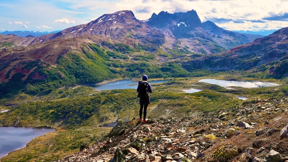
Navarino Island, Chile · March 2025 · Solo
Dientes de Navarino
51.6 KM · 3 DAYS · 2,020 M
3 days around the Dientes from Puerto Williams, Chile.
Watch the film 26:33 · 169K viewsAt a glance
- Where
- Navarino Island, Chile
- Distance
- 51.6 km (32.1 miles)
- Days
- 3 days
- Climbing
- About 6,630 ft (2,020 m) up and the same down
- Season
- November to March; the main circuit is closed every year from early April to October 31 (April 1 in 2026). I walked March 1 to 3, 2025
- Difficulty
- Faint, badly marked trail, mud and bog, steep loose slopes, wind and fast weather. The municipality rates it medium to high
- When I went
- March 2025
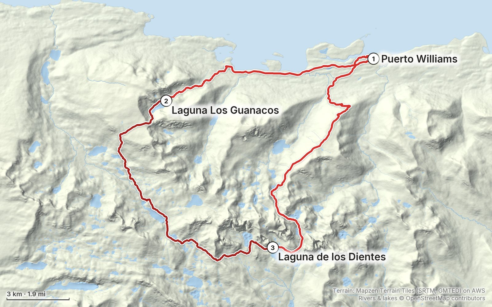
Elevation, start to finish: highest 2,810 ft (856 m), lowest sea level.
My GPS recording on a relief map. The numbers are where each day starts. The GPX files come with the guide.
Everything I made about it
The film

Photos
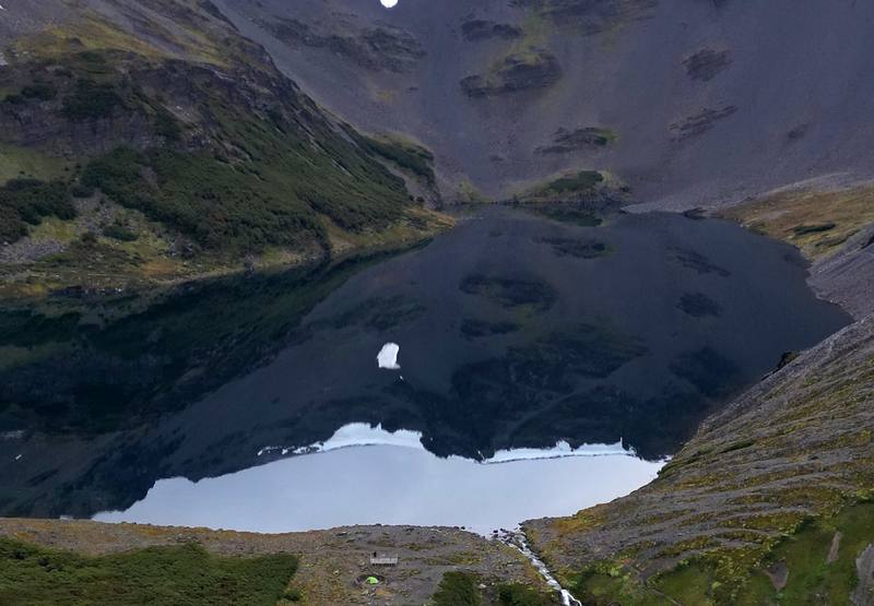
Laguna Los Guanacos from my drone over my first camp, the end of Day 1. 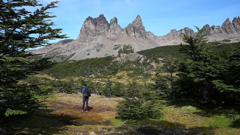
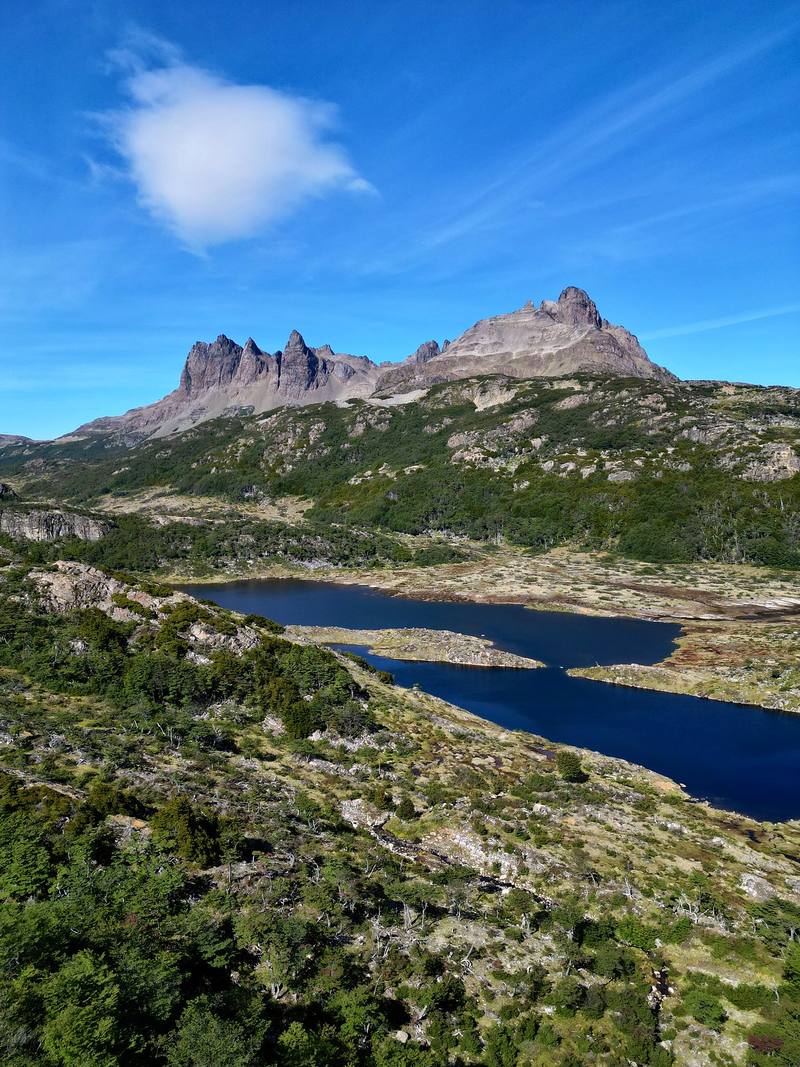
The Dientes above the forest near the camps at mile 5, Day 2. 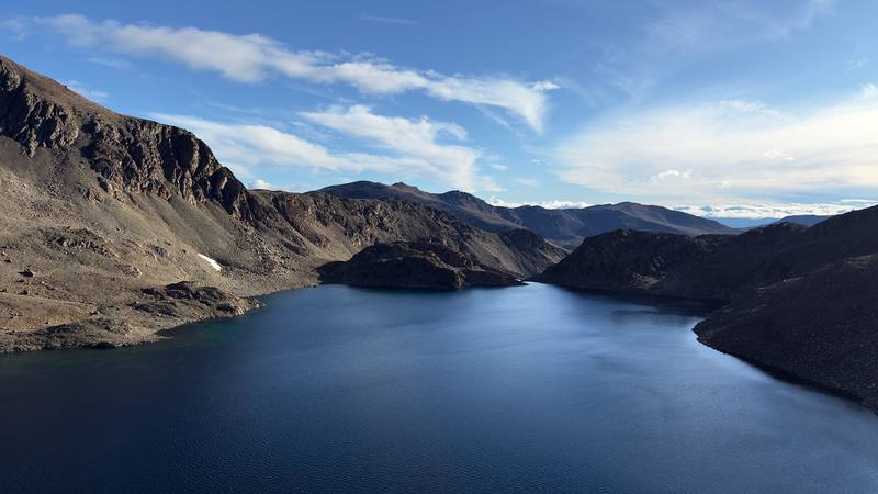
Laguna El Paso from Paso de los Dientes, Day 3.
The guide · 47-page PDF + GPX files · 2027 season edition
Do it yourself
3 days around the Dientes from Puerto Williams, Chile.
- All three days
- My GPX files
- Registration and rules
- Getting there
- Route-finding and safety
Free sample
Try Day 2 free
The whole Day 2, Laguna Los Guanacos to Laguna de los Dientes page from the guide as a PDF, plus my camping packing list: the 42 things I carry, with a note on each. Both come by email. You'll also get my emails about new guides and trips, a few a year.
Music in this film
- AffogatoRandy Sharp · Artlist
- CloudsAllem Iversom · Artlist
- GenerationsDear Gravity · Artlist
- HomelyMattia Vlad Morleo · Artlist
- Outside InWe Dream of Eden · Artlist
- RainbowBorrtex · Artlist
- Rising TideBeneath The Mountain · Artlist
- Sense of MusicBorrtex · Artlist
- The Miracle That You AreAija Alsina · Artlist
- Winds of ReykjavikSPEARFISHER · Artlist
What I'd take now
My current kit
The Americas and New Zealand bundle
This guide is in The Americas and New Zealand Hiking Guide Pack: 36 guides for $39. Or all 62 guides for $59.
Short answers
- How long is the Dientes de Navarino circuit?
- My loop from Puerto Williams and back was 32.1 miles (51.6 km) on my GPS, with about 6,630 ft of climbing, in three days in March 2025. About 24.7 miles of it is trail; the rest is road at each end. The official leaflet gives about 41 km of trail and plans 5 days; the municipality says 4 to 5 days.
- Do you need a permit for Dientes de Navarino?
- There's no permit or fee, but registering with the Carabineros in Puerto Williams (Piloto Pardo 287) before you start and again when you're back is mandatory.
- When is the Dientes de Navarino circuit open?
- From November 1 to about the end of March. The main section is closed by municipal decree every year from early April to October 31; in 2026 the closure ran April 1 to October 31. The official leaflet says December to February is best.
- Is the Dientes de Navarino trail marked?
- Poorly. The official leaflet calls it poorly marked and intermittent, with cairns on the passes and paint marks on trees in the last forest. Carry a GPX track offline and a backup way to navigate.
- How do you get to Puerto Williams?
- Aerovías DAP flies from Punta Arenas (in 2026 on Mondays, Wednesdays, Thursdays and Fridays) with a 10 kg hold baggage limit on this route. The Yaghan ferry from Punta Arenas takes about 30 hours, and in season boats cross from Ushuaia to Puerto Navarino with a van to town. You can't fly with stove gas; buy it in Puerto Williams.
- Is there phone signal on the Dientes de Navarino?
- No. The municipality says the route has no phone signal, no shelters and no permanent patrols, and that you need satellite gear such as an inReach, a VHF radio or a satellite phone.
I make my guides with AI, from my own films and GPS recordings. How.