
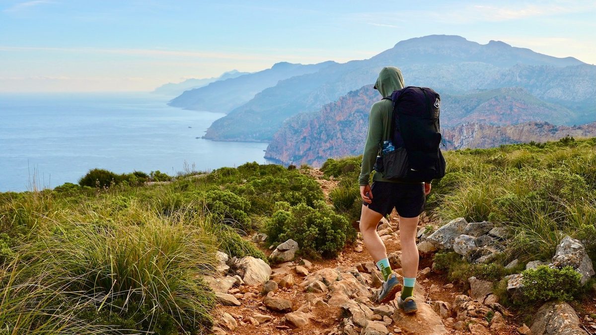
Mallorca, Spain · March 2026 · Solo
GR221, the Dry Stone Route
141.8 KM · 5 DAYS · 5,590 M
5 days across Mallorca's mountains.
Watch the film 29:40 · 24K viewsAt a glance
- Where
- Mallorca, Spain
- Distance
- 141.8 km (88.1 miles)
- Days
- 5: one short afternoon, then four long days
- Climbing
- 18,340 ft (5,590 m) up and 18,268 ft (5,568 m) down
- Difficulty
- Not a casual hike the way I did it: two 23-mile days and 8 to 12 hours of walking on the long days. The official stages are graded easy to difficult
- Route
- Port d'Andratx to Pollença town
- When I went
- March 20 to 24, 2026, solo
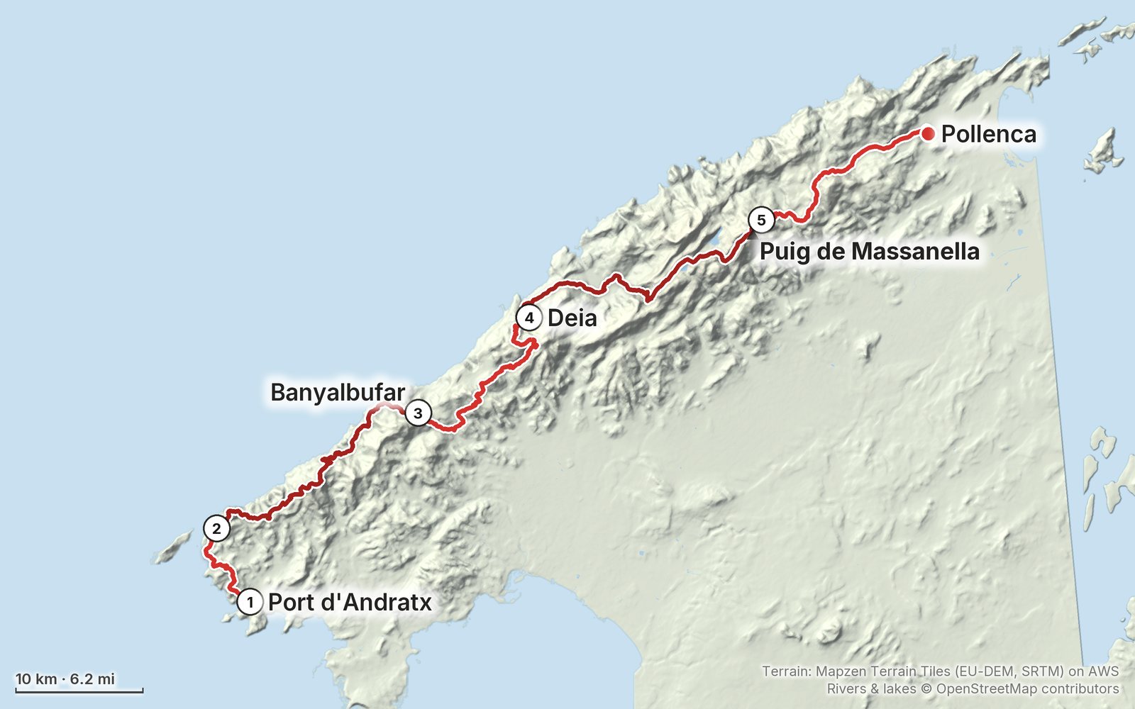
Elevation, start to finish: highest 4,040 ft (1,232 m), lowest sea level.
My GPS recording on a relief map. The numbers are where each day starts. The GPX files come with the guide.
Everything I made about it
The films
 Hiking film · 2026Solo Hiking 80 Miles Across Mallorca (GR221)29:40 · 24K views
 Hiking film · 2026Hiking 80 miles on the Dry Stone Route in Mallorca36:41 · 118K views
Photos
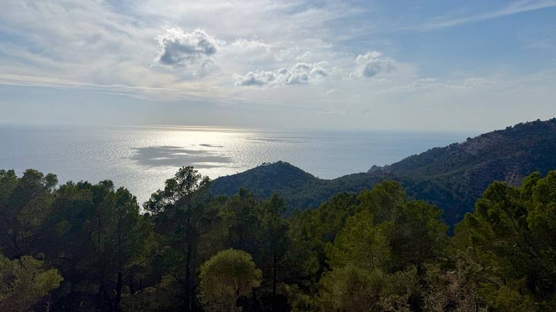
The sea from the trail between Port d'Andratx and Sant Elm. 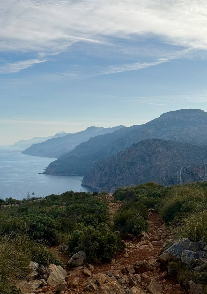
The trail and the west coast on the morning of Day 2. 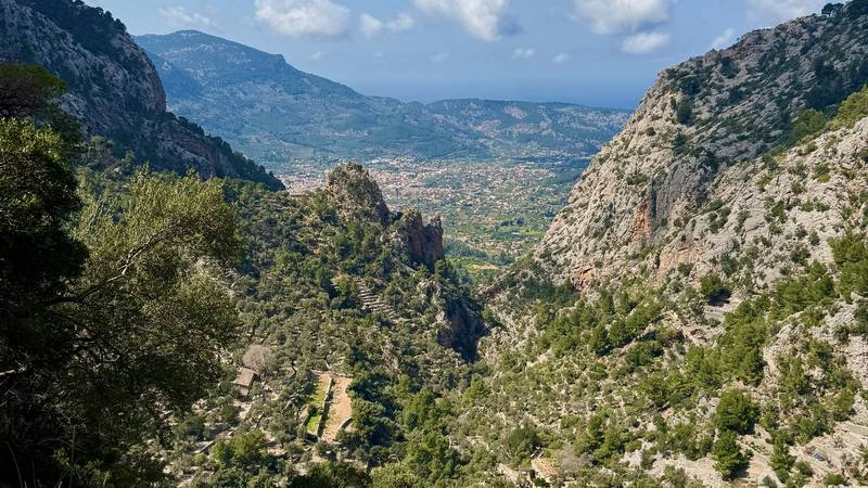
Looking back down the Barranc de Biniaraix toward Sóller. 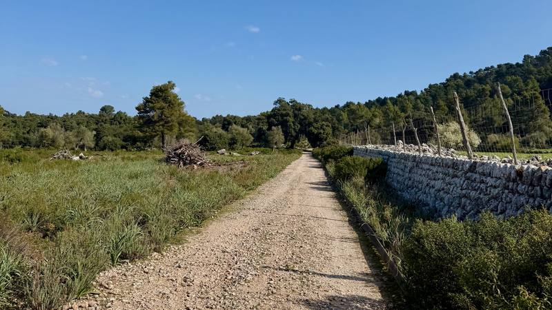
The wide track toward Pollença on Day 5.
The guide · 65-page PDF + GPX files · 2027 season edition
Do it yourself
5 days across Mallorca's mountains.
- All five days
- A map and elevation profile for every day
- GPX files
- Water
- Where to sleep
Free sample
Try Day 3 free
The whole Day 3, Banyalbufar to Deià page from the guide as a PDF, plus my camping packing list: the 42 things I carry, with a note on each, and this route's own list on top. Both come by email. You'll also get my emails about new guides and trips, a few a year.
Music in this films
- brilliantHidden Tapes · Musicbed
- collecting dustHidden Tapes · Musicbed
- digital rainHidden Tapes · Musicbed
- dropletsHidden Tapes · Musicbed
- evaporateHidden Tapes · Musicbed
- flow and changeHidden Tapes · Musicbed
- frozen breathHidden Tapes · Musicbed
- matterHidden Tapes · Musicbed
- osaka rainHidden Tapes · Musicbed
- particlesHidden Tapes · Musicbed
- projectionHidden Tapes · Musicbed
- signalsHidden Tapes · Musicbed
- summitHidden Tapes · Musicbed
- tetheringHidden Tapes · Musicbed
- turning pointHidden Tapes · Musicbed
- UndervejsJacob David · Musicbed
- vaporHidden Tapes · Musicbed
- Venus and FlowerAustin Farwell · Musicbed
What I'd take now
My current kit
Europe bundle
This guide is in Europe Hiking Guide Pack: 11 guides for $39. Or all 62 guides for $59.
Short answers
- How many days does the GR221 take?
- I did it in five: a short first afternoon and then four long days, about 88 miles. The official route is 9 stages between refuges and towns.
- When is the best time to hike the GR221?
- Spring and autumn are the usual seasons. I went March 20 to 24, 2026, with cold mornings and shorts in the day. Summer is hot and dry, and open fires are banned on forest land from May 1 to October 15.
- Where do you sleep on the GR221?
- The Consell de Mallorca runs hiker refuges along the route, and a dorm bed was 14 euros in 2026. The towns have hotels. I slept in my tent three nights and in a hotel in Deià one night.
- Can you camp on the GR221?
- Not freely. Camping and bivouacking on forest land in the Serra de Tramuntana need authorization all year, and almost 95% of the area is private land. There are official camping areas near Lluc that you reserve.
- How do you get to the start of the GR221?
- Fly into Palma. EMT bus A1 runs from the airport to the center, and TIB bus 101 goes from the Estació Intermodal to Port d'Andratx. At the end, bus 301 runs from Pollença back to Palma.
I make my guides with AI, from my own films and GPS recordings. How.