
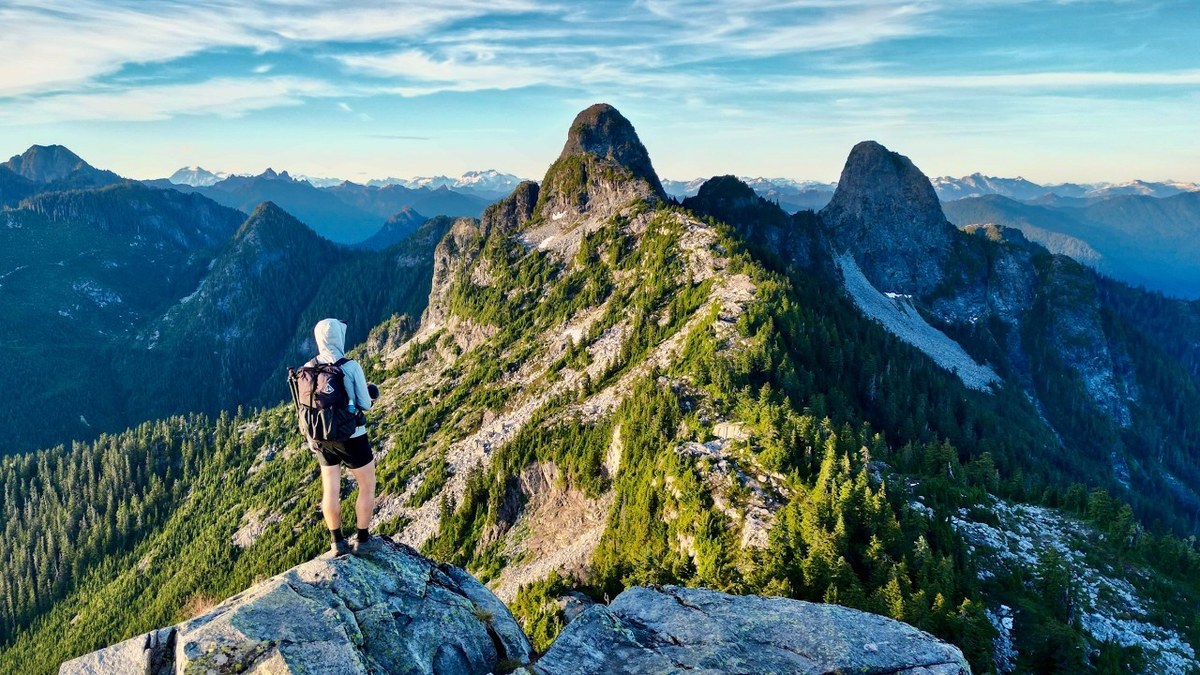
Coast Mountains, British Columbia · July 2023 · Solo
Howe Sound Crest Trail
31.1 KM · 2 DAYS · 1,595 M
Cypress Mountain past the Lions to Howe Sound in 2 days.
Watch the film 30:09 · 152K viewsAt a glance
- Where
- Coast Mountains, British Columbia
- Distance
- 31.1 km (19.3 miles)
- Days
- 2: 6.3 miles on Day 1 (an afternoon), 13 on Day 2
- Climbing
- About 5,230 ft (1,595 m) up and 7,970 ft (2,430 m) down, going north like I did
- Difficulty
- Experienced hikers only past Bowen Lookout (BC Parks). Rooty, rocky, with scrambles between the Lions and Magnesia
- Route
- Cypress Mountain ski area to The Porteau Road trailhead on Highway 99
- When I went
- July 2023
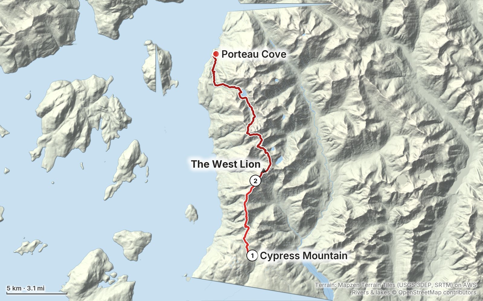
Elevation, start to finish: highest 5,210 ft (1,589 m), lowest 190 ft (59 m).
My GPS recording on a relief map. The numbers are where each day starts. The GPX files come with the guide.
Everything I made about it
The film

Photos
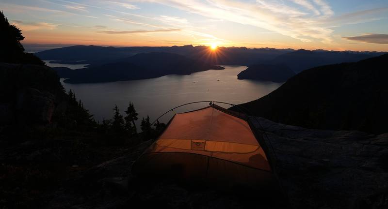
My tent at sunset on the ridge below the West Lion, Day 1. 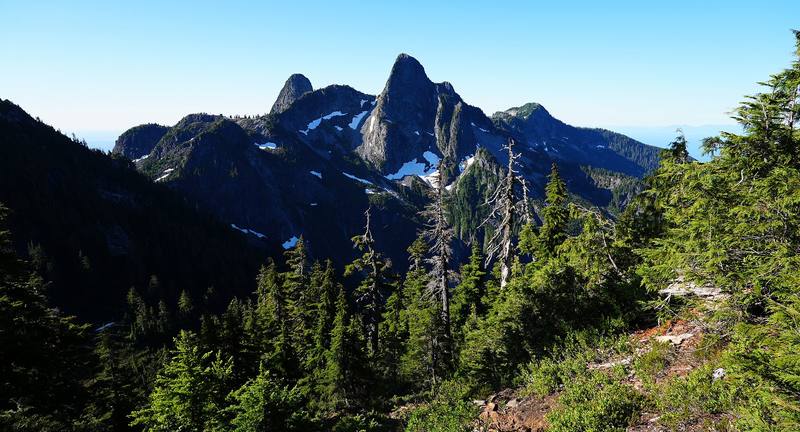
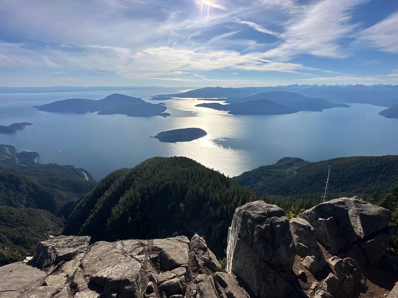
Looking back at the Lions, Day 2 morning.
The guide · 40-page PDF + GPX files · 2027 season edition
Do it yourself
Cypress Mountain past the Lions to Howe Sound in 2 days.
- Where things stand
- Both days
- My GPX files
- The rules and camping
- Getting there
Free sample
Try Day 1 free
The whole Day 1, Cypress Mountain to the Lions page from the guide as a PDF, plus my camping packing list: the 42 things I carry, with a note on each. Both come by email. You'll also get my emails about new guides and trips, a few a year.
Music in this film
- ArrivalKatharine Petkovski · Musicbed
- Beyond The HorizonGÅEL · Musicbed
- deadlightKatharine Petkovski · Musicbed
- des enfantsKatharine Petkovski · Musicbed
- Everything BeginsKatharine Petkovski · Musicbed
- Flight WhispersThe Field Tapes · Musicbed
- FloraKatharine Petkovski · Musicbed
- For OnceAlaskan Tapes · Musicbed
- Know feat. Michael Lessard - InstrumentalAlaskan Tapes · Musicbed
- MoonsetKatharine Petkovski · Musicbed
- OctoberKatharine Petkovski · Musicbed
- RambuteauKino · Musicbed
- SeasonsStan Forebee · Musicbed
- Soon feat. Michael Lessard - InstrumentalAlaskan Tapes · Musicbed
- sturm und drang (Wowflower Rework)Katharine Petkovski · Musicbed
- the boatKatharine Petkovski · Musicbed
- Trade WindsKatharine Petkovski · Musicbed
- WanderlandThe Field Tapes · Musicbed
- Windsor ParkThe Field Tapes · Musicbed
What I'd take now
My current kit
The Americas and New Zealand bundle
This guide is in The Americas and New Zealand Hiking Guide Pack: 36 guides for $39. Or all 62 guides for $59.
Short answers
- Is the Howe Sound Crest Trail open?
- Yes, in October 2026: BC Parks listed no closure. Construction started at Magnesia Meadows, Brunswick Lake and Deeks Lake on September 16, 2026. The trail is usually snow-free from about July to early October, and the section by the ski area is open to hikers June 1 to October 31.
- How long is the Howe Sound Crest Trail?
- BC Parks gives 29 km (18 miles) one way, from the Cypress Mountain ski area to Highway 99 just south of Porteau Cove. My GPS recorded 19.3 miles (31.1 km) over two days: 6.3 to my camp below the West Lion, then 13 to the highway.
- Do you need a permit to camp on the Howe Sound Crest Trail?
- No, in 2026: no permit, no reservation and no fee. You can camp anywhere along the trail north of Strachan Meadows; BC Parks names Magnesia Meadows, Brunswick Lake and Deeks Lake as the best areas.
- Is there water on the Howe Sound Crest Trail?
- Not reliably on the first half: BC Parks says there's no reliable water between Strachan Meadows and Magnesia Meadows. From Magnesia on there are tarns, streams and lakes. Treat all water.
- Can you hike the Howe Sound Crest Trail in one day?
- Fast, strong hikers do, in about 12 to 14 hours. It's long and committing, with scrambles over James and David Peaks in the middle, and exhausted day hikers are a common rescue call.
- Where do you park for the Howe Sound Crest Trail?
- Overnight parking at Cypress Mountain is free but only allowed in Lot 3B; cars left elsewhere are towed. The trail ends at the Porteau Road lot on Highway 99, with no public transit, so you need two cars or a ride.
I make my guides with AI, from my own films and GPS recordings. How.