Coast Mountains · 2 days · 19.3 miles · British Columbia

Howe Sound Crest Trail Hiking Guide

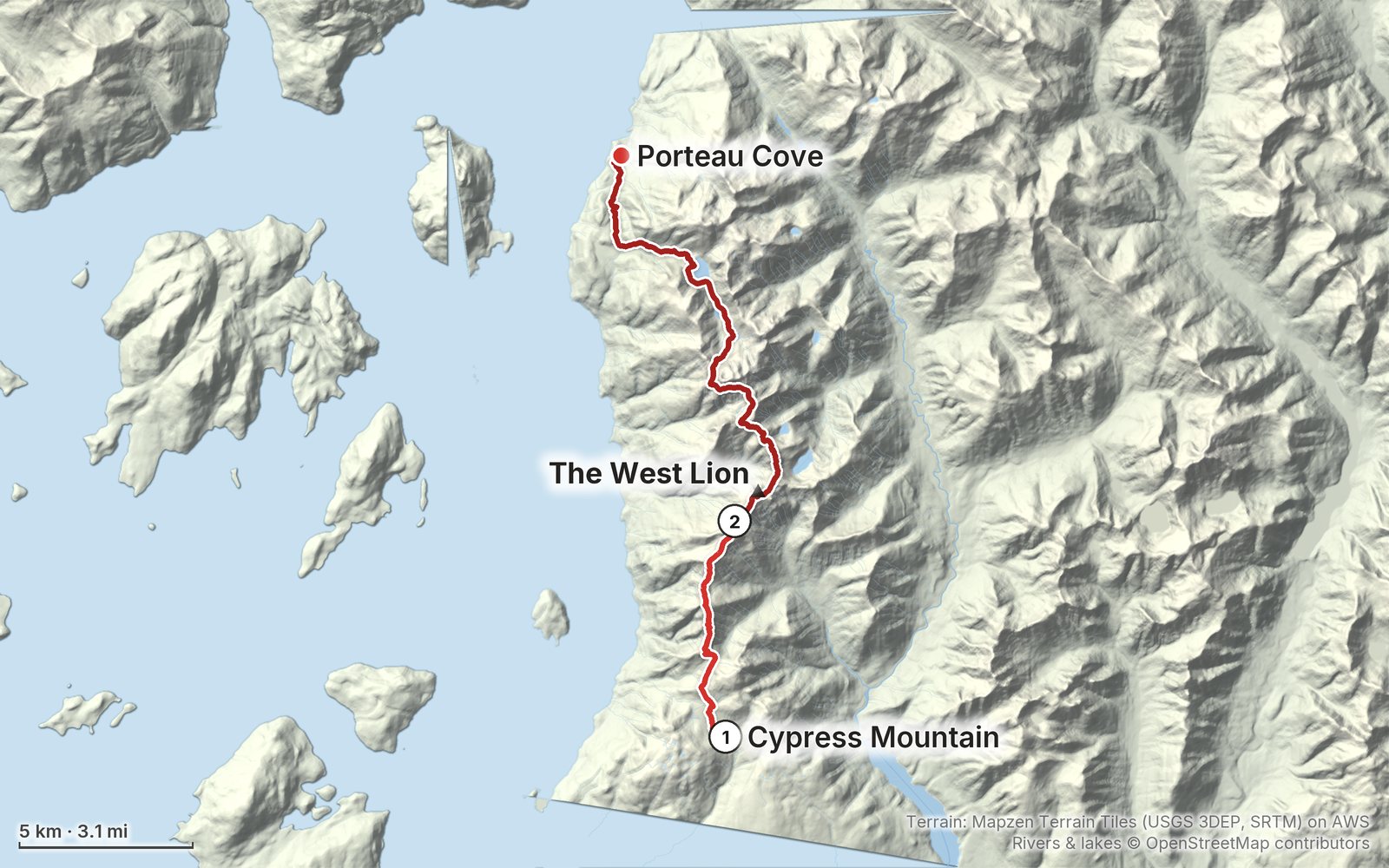
In July 2023 I hiked the Howe Sound Crest Trail above Vancouver: from the Cypress Mountain ski area over St. Mark's Summit and Unnecessary Mountain to a wild camp below the Lions, then along the crest past Magnesia Meadows, Brunswick Lake and Deeks Lake down to Highway 99. It's the trip from my film Hiking the Howe Sound Crest Trail in Vancouver. This guide has my GPX files, maps and notes for both days, where you can camp and where the water is, parking and getting back from the far end, the 2026 construction at the camps, weather and bugs by month, safety, and a trip sheet.

Paying in the Facebook/Instagram app? Tap ⋯ and Open in browser to use Apple Pay or Google Pay.

$19Watch the film

Instant download: PDF + GPX files.
Not useful? Email me within 30 days for a refund.

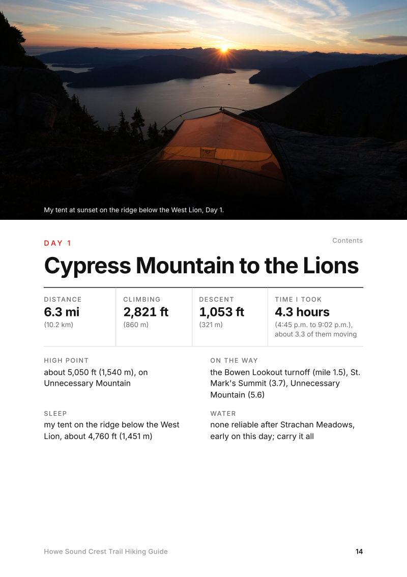
The cover of the Howe Sound Crest Trail Hiking Guide

What's inside

Look inside

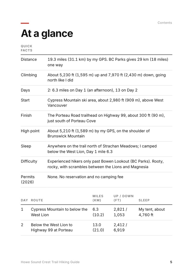
At a glance page from the Howe Sound Crest Trail Hiking Guide
At a glance
A day page page from the Howe Sound Crest Trail Hiking Guide
A day page
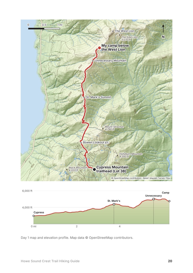
A day map and elevation profile page from the Howe Sound Crest Trail Hiking Guide
A day map and elevation profile
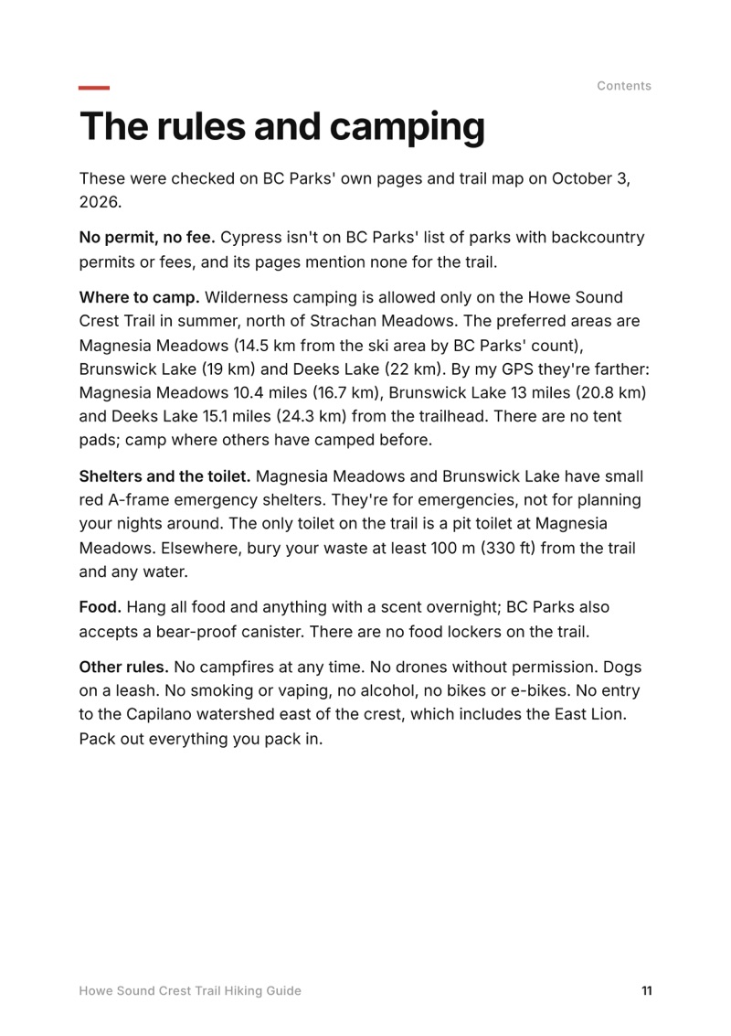
The rules and camping page from the Howe Sound Crest Trail Hiking Guide
The rules and camping

The details

Format
A 40-page PDF sized for a phone (A5, prints fine too) and a folder of GPX files, in one zip download.
Edition
2027 season edition, updated October 2026.
Delivery
Instant. After you pay you get a private download link. Bookmark it to download again on any device.
Payment
Secure checkout through Stripe, in your own currency. Tax is included in the price, except in the US and Canada, where any sales tax is added at checkout.
Refunds
Not useful? Email me within 30 days for a refund: kraig@kraigadams.com.
Questions
Email kraig@kraigadams.com.

Paying in the Facebook/Instagram app? Tap ⋯ and Open in browser to use Apple Pay or Google Pay.

$19

Questions

Is the Howe Sound Crest Trail open?
Yes, in October 2026: BC Parks listed no closure. Construction started at Magnesia Meadows, Brunswick Lake and Deeks Lake on September 16, 2026. The trail is usually snow-free from about July to early October, and the section by the ski area is open to hikers June 1 to October 31.
How long is the Howe Sound Crest Trail?
BC Parks gives 29 km (18 miles) one way, from the Cypress Mountain ski area to Highway 99 just south of Porteau Cove. My GPS recorded 19.3 miles (31.1 km) over two days: 6.3 to my camp below the West Lion, then 13 to the highway.
Do you need a permit to camp on the Howe Sound Crest Trail?
No, in 2026: no permit, no reservation and no fee. You can camp anywhere along the trail north of Strachan Meadows; BC Parks names Magnesia Meadows, Brunswick Lake and Deeks Lake as the best areas.
Is there water on the Howe Sound Crest Trail?
Not reliably on the first half: BC Parks says there's no reliable water between Strachan Meadows and Magnesia Meadows. From Magnesia on there are tarns, streams and lakes. Treat all water.
Can you hike the Howe Sound Crest Trail in one day?
Fast, strong hikers do, in about 12 to 14 hours. It's long and committing, with scrambles over James and David Peaks in the middle, and exhausted day hikers are a common rescue call.
Where do you park for the Howe Sound Crest Trail?
Overnight parking at Cypress Mountain is free but only allowed in Lot 3B; cars left elsewhere are towed. The trail ends at the Porteau Road lot on Highway 99, with no public transit, so you need two cars or a ride.
More guides

All guides
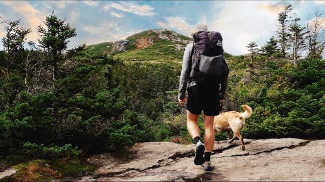
Adirondack High Peaks, High Peaks Wilderness, New York

High Peaks Wilderness, New York

Adirondack High Peaks

2 days · 18 miles · lean-to

A 2-day loop over Mount Marcy and Algonquin Peak from the Adirondak Loj in New York's High Peaks, with a night at Lake Colden, plus a 3-day traverse from Keene Valley.

  • Both days of the loop
  • My GPX files
  • My 2019 traverse
  • Permits and rules

See the guide: Adirondack High Peaks · $19

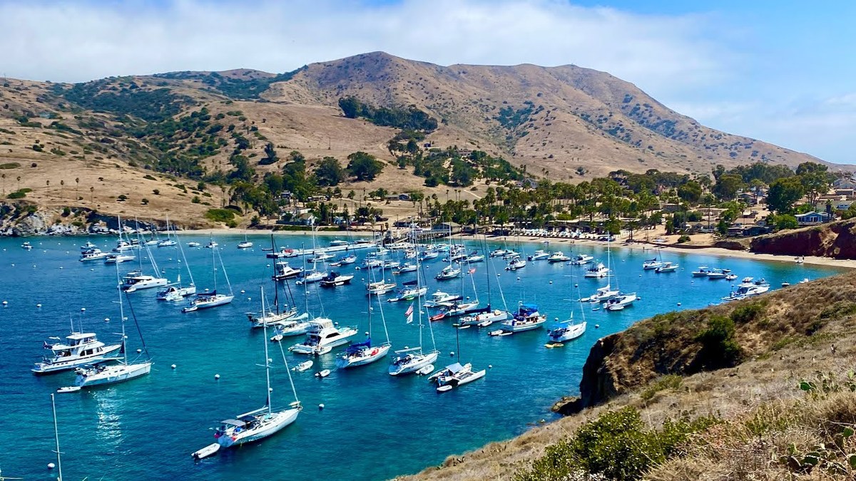
Trans-Catalina Trail, Southern California

Southern California

Trans-Catalina Trail

2 days · 42 miles · Catalina Island

A 2-day hike across Santa Catalina Island, California, on the Trans-Catalina Trail: from Avalon to Little Harbor, then to Two Harbors by way of the Silver Peak Trail and Parsons Landing.

  • Where things stand
  • Both days
  • My GPX files
  • Permits, campgrounds and rules

See the guide: Trans-Catalina Trail · $19

Get the next guide

I'm making guides for more of my hikes, and I host a group trip about once a year. Get an email when a new guide or trip is out. A few emails a year.