
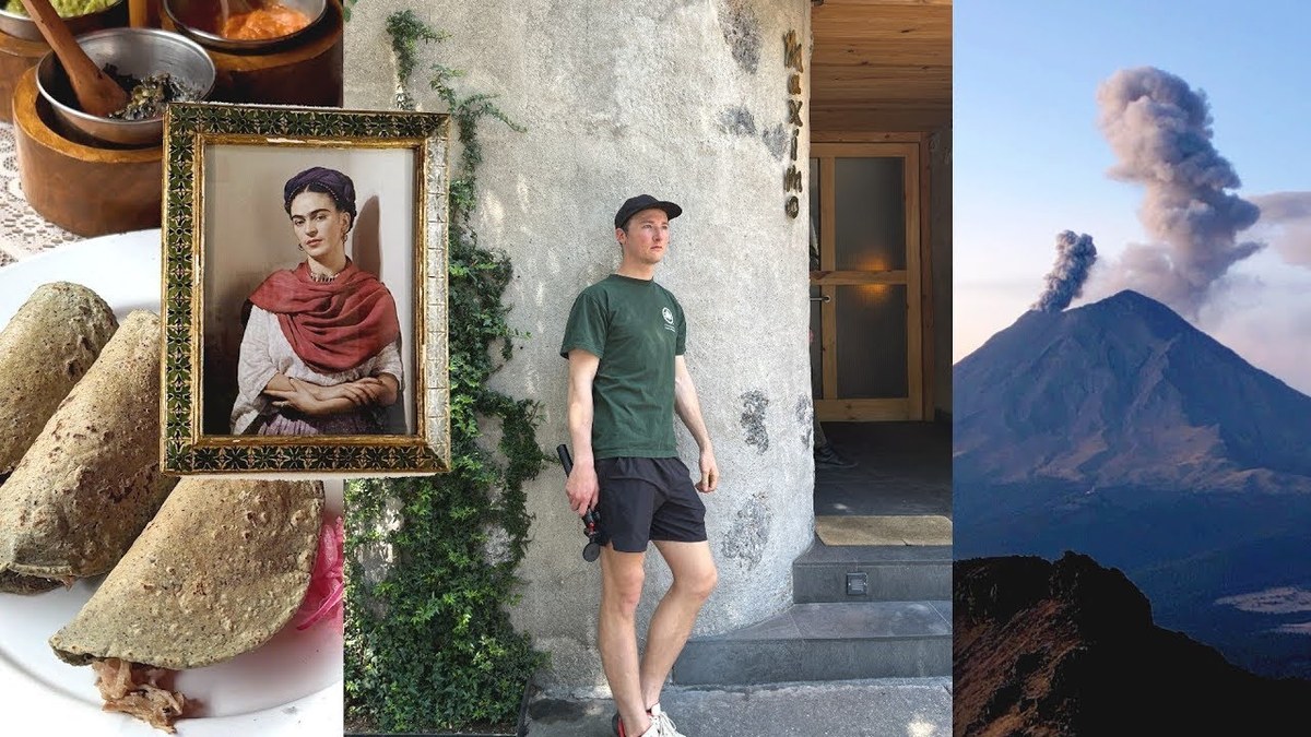
Mexico City and Iztaccíhuatl, Mexico · March 2023
Mexico City and Iztaccíhuatl
23.2 KM · 1,784 M
Paso de Cortés to the hut and the First Knee in 2 days.
Watch the film 16:24 · 320K viewsAt a glance
- Where
- Mexico City and Iztaccíhuatl, Mexico
- Distance
- 23.2 km (14.4 miles)
- Climbing
- About 5,850 ft (1,784 m) up and 5,860 ft (1,785 m) down
- Season
- I went March 7 and 8, 2023
- Difficulty
- An easy walk-in, then a steep, rocky, loose climb to over 15,000 ft with all your water, a freezing night and a windy ridge. The summit beyond my turnaround is mountaineering
- Start and end
- Paso de Cortés
- When I went
- March 2023
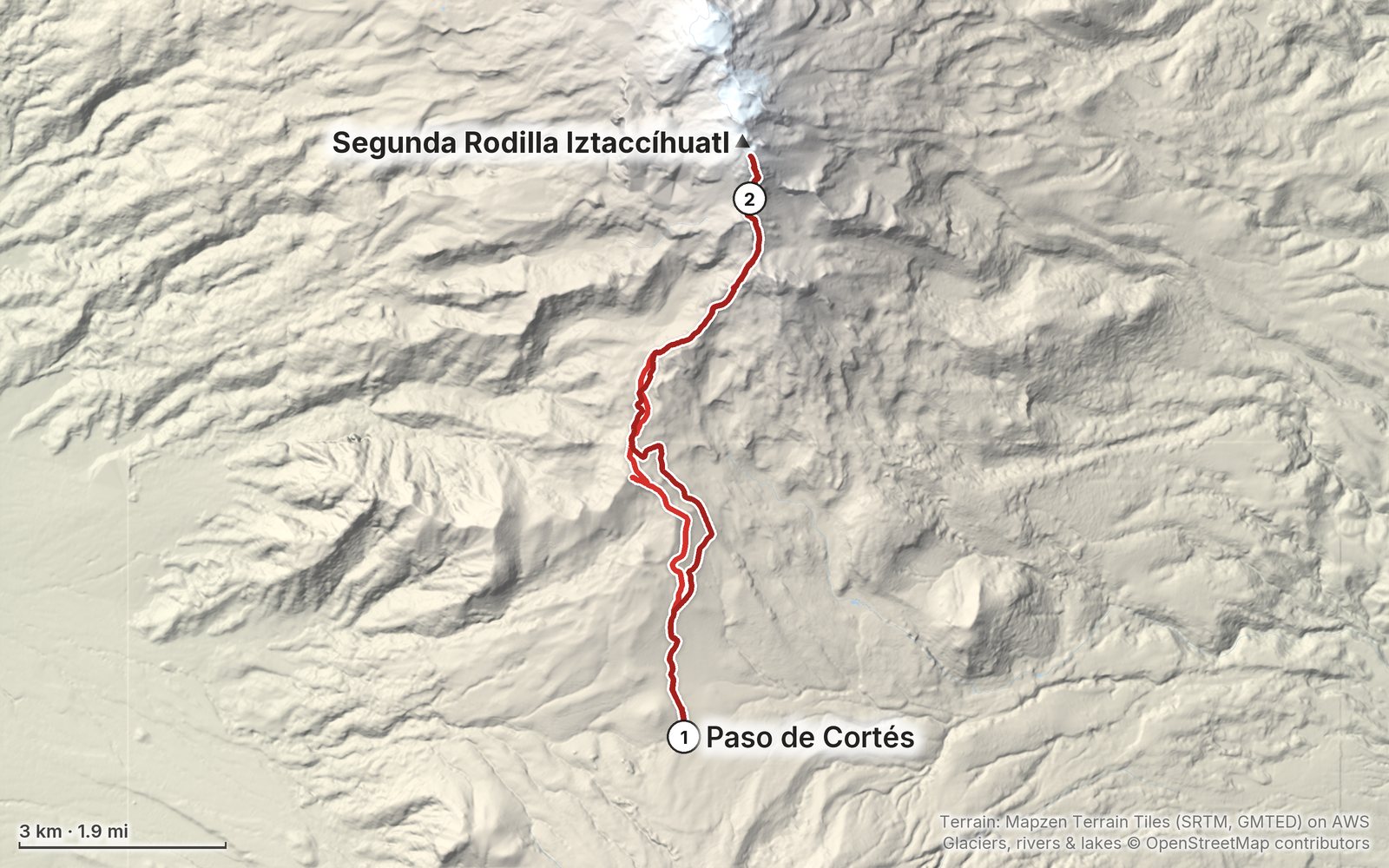
Elevation, start to finish: highest 16,500 ft (5,028 m), lowest 12,050 ft (3,673 m).
My GPS recording on a relief map. The numbers are where each day starts. The GPX files come with the guide.
Everything I made about it
The film

Photos
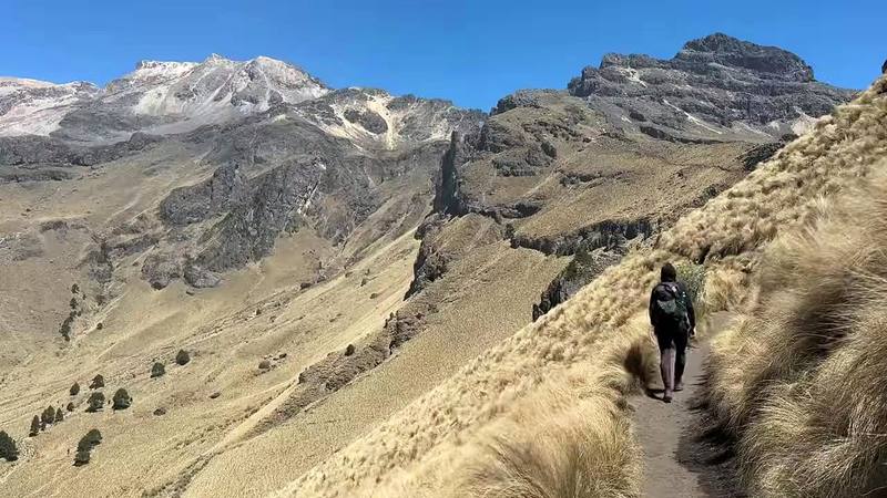
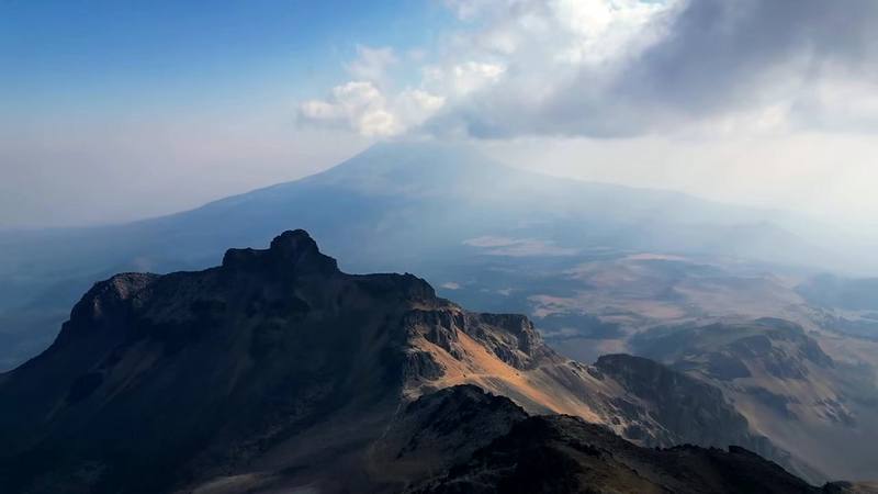
The trail up the ridge above La Joya, with Iztaccíhuatl's upper slopes behind, Day 1. 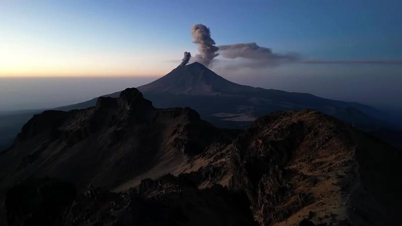
Popocatépetl puffing ash at dawn, from my drone above the ridge near the hut, Day 2.
The guide · 43-page PDF + GPX files · 2027 season edition
Do it yourself
Paso de Cortés to the hut and the First Knee in 2 days.
- Where things stand
- Both days
- My GPX files
- Getting there
- The hut and the summit
Free sample
Try Day 1 free
The whole Day 1, Paso de Cortés to the Grupo de los Cien hut page from the guide as a PDF, plus my hut-to-hut packing list: the 35 things I carry, with a note on each. Both come by email. You'll also get my emails about new guides and trips, a few a year.
Music in this film
- Afterglowindoorcat · Musicbed
- behind our eyes.coldbrew · Musicbed
- Breathe (with Ian Ewing) - InstrumentalChris Mazuera · Musicbed
- Cloud 9Bill Justis · Musicbed
- Feeling Goodcoldbrew · Musicbed
- fresh baguettescoldbrew · Musicbed
- Lost Tunelwfi · Musicbed
- Low TideStan Forebee · Musicbed
- Pop Quizindoorcat · Musicbed
- Power Napindoorcat · Musicbed
- Something NewBytheway-May · Musicbed
- Virgie's Blossom SmileMarques Carroll · Musicbed
- Who Tends A GardenAlaskan Tapes · Musicbed
What I'd take now
My current kit
The Americas and New Zealand bundle
This guide is in The Americas and New Zealand Hiking Guide Pack: 36 guides for $39. Or all 62 guides for $59.
Short answers
- Is Iztaccíhuatl open?
- Yes, in October 2026: no closure of the Parque Nacional Iztaccíhuatl-Popocatépetl was reported that year. Popocatépetl, next door, is at Yellow Phase 2 on CENAPRED's alert; if it goes to Phase 3 the road to Paso de Cortés closes, as it did in May 2023. Fires, snow and cold fronts close it at short notice too, so check CENAPRED and CONANP the day before.
- How much does it cost to enter Iztaccíhuatl-Popocatépetl National Park?
- MXN 125 (about US$7) per person per day in 2026, paid at the park office at Paso de Cortés. Mexicans and foreign residents pay half. Driving up to La Joya also needs a reservation with CONANP. I paid about $1.50 in 2023.
- Do you need a guide to climb Iztaccíhuatl?
- No. The park's rules say visitors may hire guides, preferably local ones, but don't require one, and I went alone. CONANP advises not hiking alone, and the summit ridge beyond the knees is a mountaineering route where a guide makes sense.
- How long is the hike to the Grupo de los Cien hut?
- By my GPS, 6.8 miles (10.9 km) from Paso de Cortés with about 4,300 ft of climbing, or 2.2 miles and about 2,300 ft from La Joya. The hut is at about 15,500 ft (4,724 m) by my GPS; published figures are 4,730 to 4,780 m.
- How do you get to Iztaccíhuatl from Mexico City?
- By car, about two hours via the México-Puebla toll road, Amecameca and the paved road up to Paso de Cortés. Without a car, take a Volcanes or Sur bus from the TAPO station to Amecameca, then a taxi to Paso de Cortés or La Joya (about MXN 250 to 450 one way, as reported).
- Is there water on Iztaccíhuatl?
- No. It's a dry volcano hike with no water sources: carry all of it from Paso de Cortés. I brought about two liters for two days and was almost out by the second morning.
I make my guides with AI, from my own films and GPS recordings. How.