
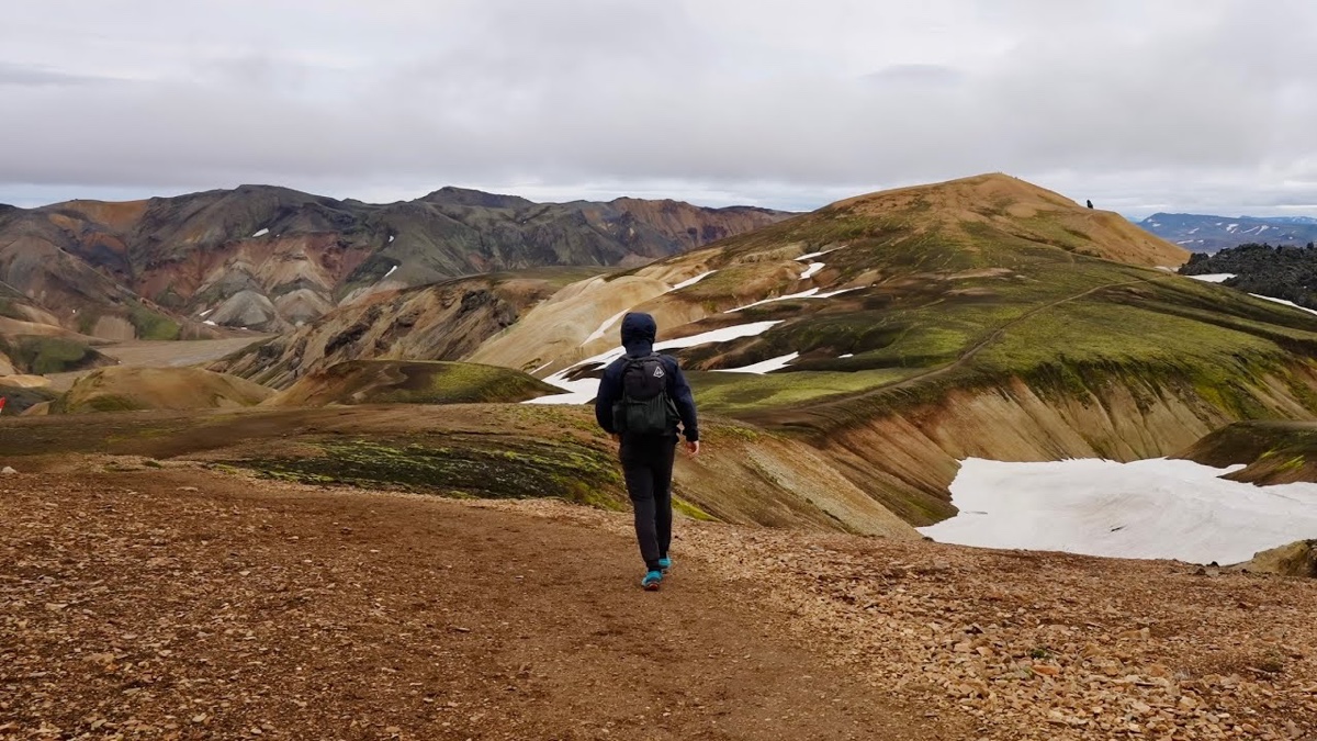
Southern Iceland · July 2022 · Solo
Southern Iceland: the Laugavegur and a group trip
94.5 KM · 3 DAYS · 2,707 M
3 days alone from Landmannalaugar over Fimmvörðuháls to Skógafoss.
Watch the film 34:54 · 389K viewsAt a glance
- Where
- Southern Iceland
- Distance
- 94.5 km (58.7 miles)
- Days
- 3 walking days, one way
- Climbing
- About 8,880 ft (2,707 m) up and 10,780 ft (3,285 m) down
- Season
- Late June to early September; the huts are staffed then
- Route
- Landmannalaugar to Skógafoss
- When I went
- July 12 to 14, 2022, solo
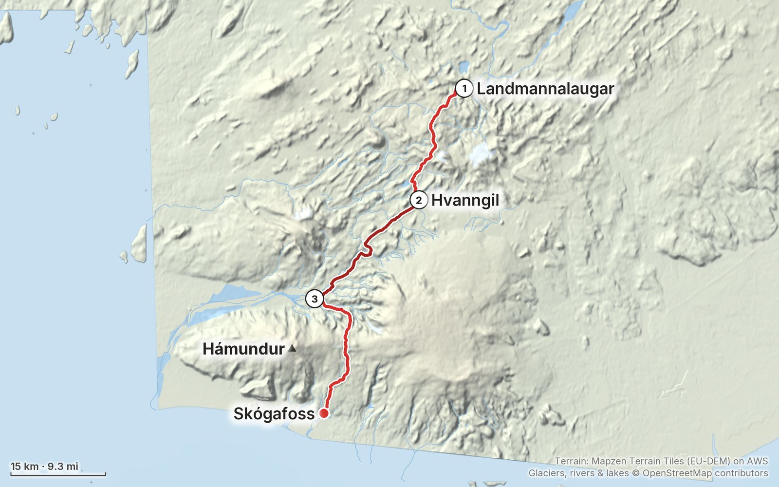
Elevation, start to finish: highest 3,440 ft (1,049 m), lowest 30 ft (10 m).
My GPS recording on a relief map. The numbers are where each day starts. The GPX files come with the guide.
Everything I made about it
The films
 Hiking film · 2022Hiking the Laugavegur Trail in Iceland34:54 · 389K views
 Hiking film · 202212 Days in Southern Iceland - Reykjavik, Black Sand Beaches and Vatnajokull Glacier182K views
Photos
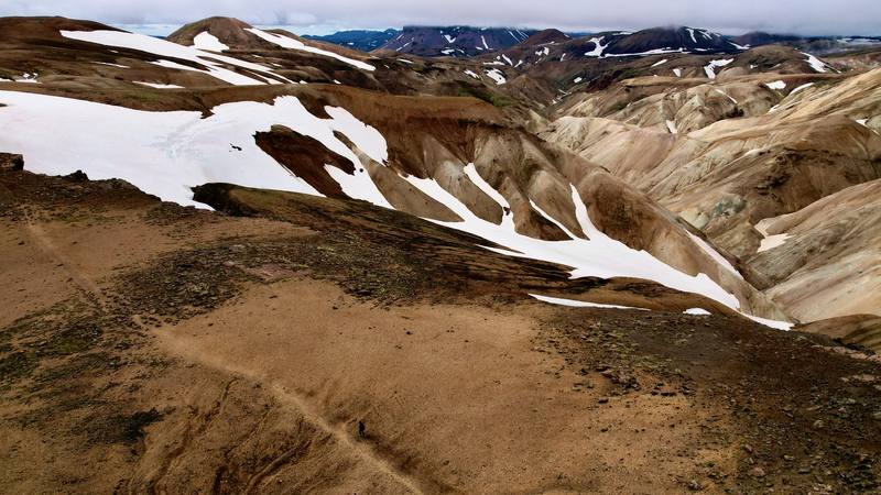
Rhyolite hills and snow south of Hrafntinnusker, Day 1. 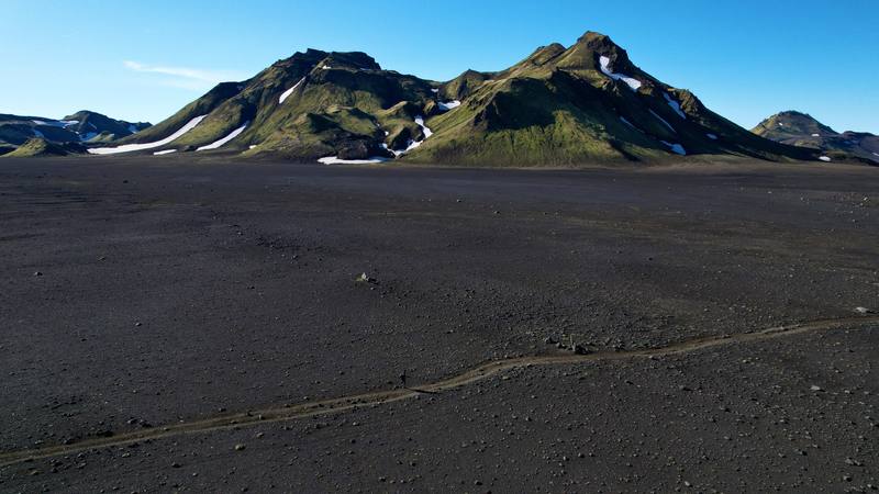
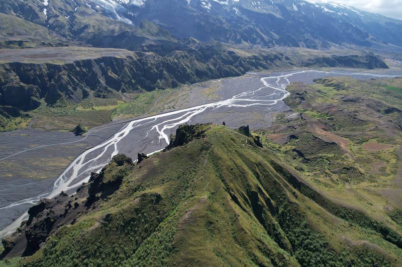
The trail across the black sand below the mountains, Day 2. 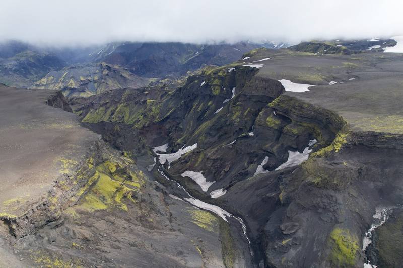
Gorges, snow and moss above Heljarkambur, on the climb to the pass, Day 3.
The guide · 47-page PDF + GPX files · 2027 season edition
Do it yourself
3 days alone from Landmannalaugar over Fimmvörðuháls to Skógafoss.
- All three days
- My GPX files
- The huts and campsites
- The river crossings
- Getting there and home
Free sample
Try Day 2 free
The whole Day 2, Hvanngil to Þórsmörk page from the guide as a PDF, plus my camping packing list: the 42 things I carry, with a note on each, and this route's own list on top. Both come by email. You'll also get my emails about new guides and trips, a few a year.
Gear on this trip
Paid links: I earn a commission if you buy through these links, at no extra cost to you. As an Amazon Associate I earn from qualifying purchases.
What I carried in 2022
- Packmy Hyperlite pack
- Tenta small green NEMO tentI stayed in my tent the whole time on the trail, which saves money.
- Stovea small gas stoveMy own dinner at Hvanngil and ramen at Emstrur.
- Shoestrail runnersThere were so many water crossings, and I kept my shoes on.
- Camp shoesblue and orange camp shoes
- Layersa dark rain jacket, an orange insulated jacket and a beanie
Filming kit
- CameraSony a7S III
- Lensa Sony 16-35mm f/4
- MicRode VideoMic GO II
- Tripoda tripodGreetings from lovely Mordor: my camera setup on the lava.
- Dronemy DJI drone
Music in this films
- Aura (Strings Version) - InstrumentalShawn Williams · Musicbed
- ChasmGustavo Bertoni · Musicbed
- CoalsSun Rain · Musicbed
- Du reposGÅEL · Musicbed
- Gentle Rain (Ambient Version) - InstrumentalShawn Williams · Musicbed
- MoonwalkSun Rain · Musicbed
- PebbleSun Rain · Musicbed
- Solitude (Ambient Version) - InstrumentalShawn Williams · Musicbed
- WatersSun Rain · Musicbed
What I'd take now
My current kit
- PackHyperlite Mountain Gear Southwest 2400
- TentNEMO Hornet Elite OSMO 1P
- Sleeping bagHyperlite Mountain Gear 20° Quilt
- Sleeping padTherm-a-Rest NeoAir XLite NXT
- StoveJetboil Stash
- Rain shellArc’teryx Beta AR Jacket
Europe bundle
This guide is in Europe Hiking Guide Pack: 11 guides for $39. Or all 62 guides for $59.
Short answers
- How many days does the Laugavegur take?
- Most people walk the Laugavegur in four days, sleeping in the huts, and add Fimmvörðuháls as a fifth. I did it in three in July 2022, about 20 miles a day: two days from Landmannalaugar to Þórsmörk and one over Fimmvörðuháls to Skógafoss, 58.7 miles on my GPS.
- How hard is the Laugavegur trail?
- It's low and not technical: you just have to do the miles. The river crossings are the hardest part; I had cold water up to my waist at one point. The other thing is the weather: wind, rain and sometimes snow and hail. Pick a good forecast window.
- Can you wild camp on the Laugavegur?
- No. The trail crosses protected land where overnight stays are only allowed in huts and at designated campsites, so you camp at the huts and pay per person. I camped at Hvanngil and at the Volcano Huts in Þórsmörk. In 2027 an FÍ campsite is 3,600 ISK a person and a hut bed 18,000 ISK.
- Do you need to book the Laugavegur huts?
- Yes. FÍ, the Iceland Touring Association, expects hikers to have confirmed hut or campsite bookings before they start, and it only books the huts north to south, from Landmannalaugar toward Þórsmörk. Book and pay online at fi.is.
- When is the best time to hike the Laugavegur?
- FÍ says the trail is open on average from June 25 to September 15, and that July and August are the most reliable. In 2026 it opened on July 2, with considerable snow between Landmannalaugar and Álftavatn. I went July 12 to 14, 2022, and walked in snow on the high section and on the pass.
- Is Fimmvörðuháls safe to hike?
- Check before you go. In late August 2026 FÍ, Útivist and the local rescue team warned against hiking Fimmvörðuháls because glacier retreat had opened ravines and crevasses between the two huts on the pass, and FÍ then marked a detour. There's also no water on the glacial pass, so fill up before the climb.
I make my guides with AI, from my own films and GPS recordings. How.