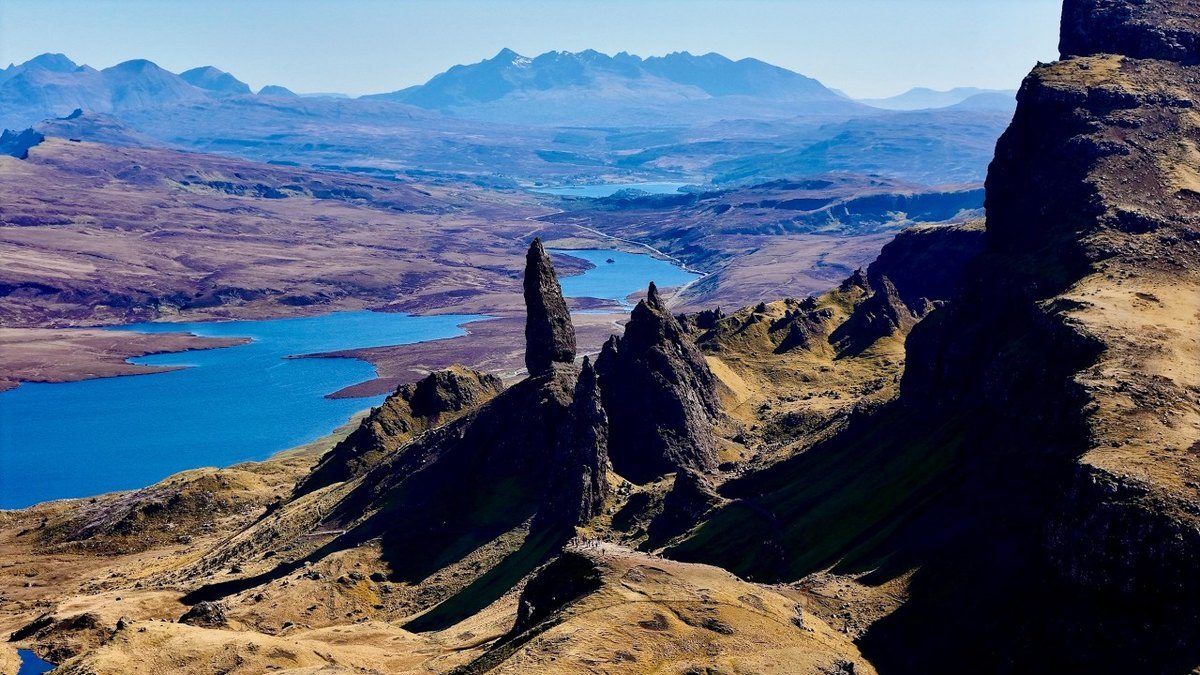
Isle of Skye, Scotland
Skye Trail
4 days · 82 miles · wild camping
The length of Skye, from Rubha Hunish over the Trotternish ridge to Broadford.
- All four days
- My GPX files
- Wild camping, explained
- Getting there without a car
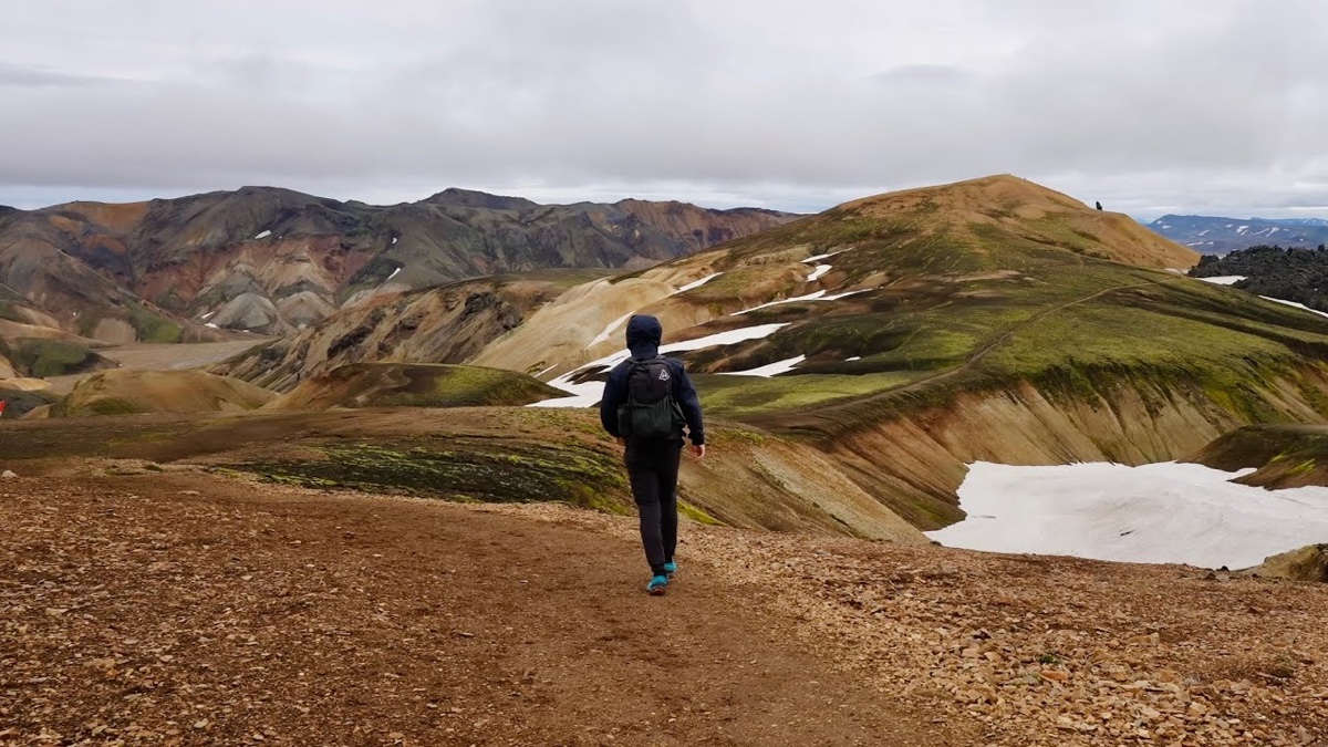
Southern highlands, Iceland · 3 days · 59 miles
3 days alone from Landmannalaugar over Fimmvörðuháls to Skógafoss.
Watch the film · 389K viewsReal pages from the guide. Tap one to see it big.
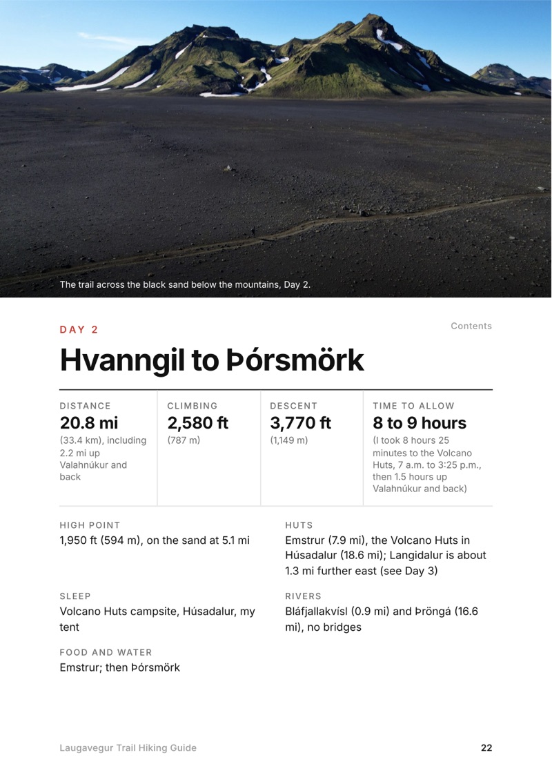
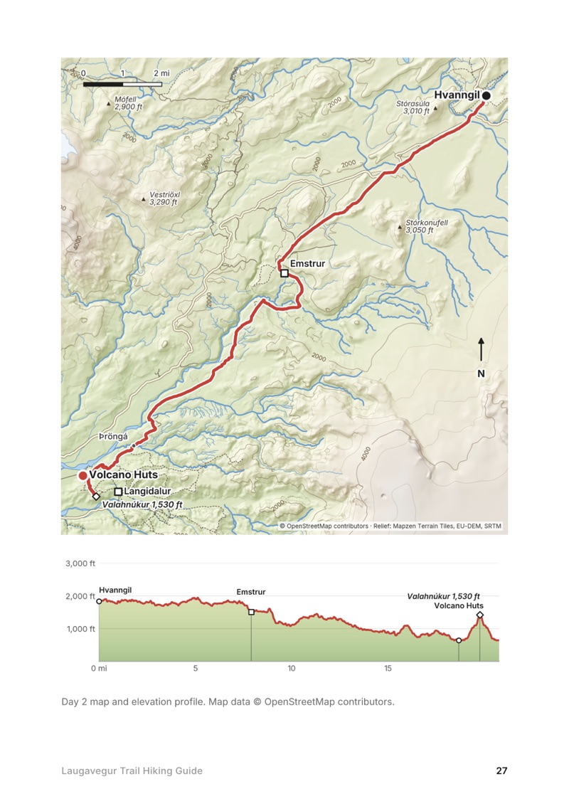
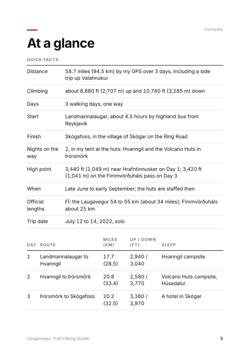
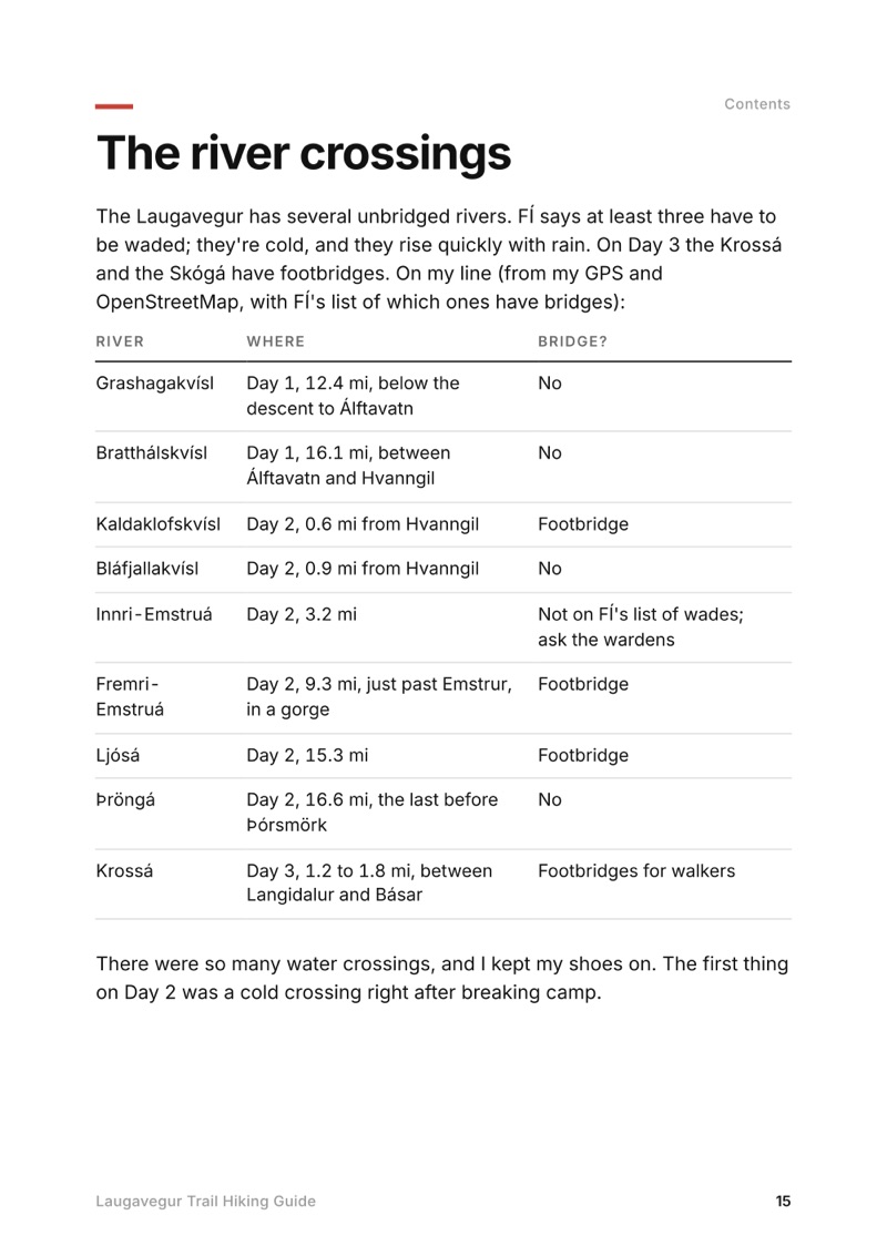
Swipe for more pages
Get Day 2 freeMy GPS recording of 3 days on a relief map. The numbers are where each day starts; the red dot is the finish. The full GPX files and the day maps come with the guide.
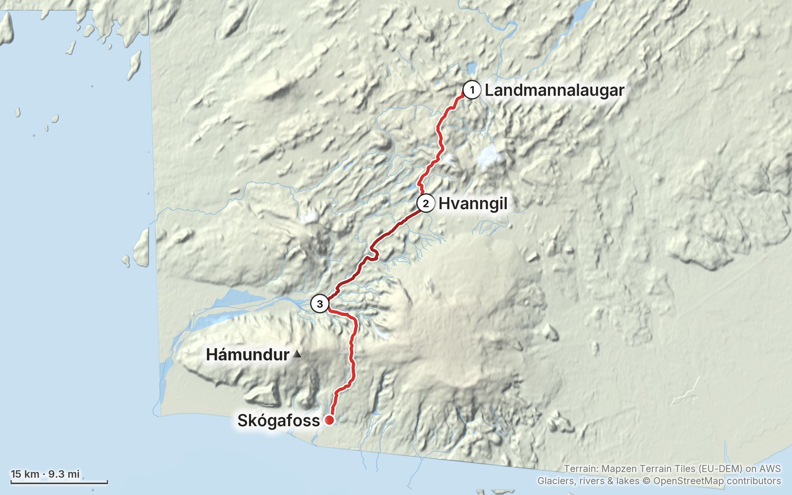
Elevation, start to finish: highest 3,440 ft (1,049 m), lowest 30 ft (10 m).
In July 2022 I hiked alone across Iceland's highlands in three days: the Laugavegur from Landmannalaugar through the rhyolite hills, snowfields and black-sand deserts to Þórsmörk, then over the Fimmvörðuháls pass and down past the waterfalls of the Skógá to Skógafoss. About 59 miles, camping at the huts. This guide has my GPS files, maps and notes for every day, the huts and campsites, the river crossings, the highland buses, and a 5-day version with a hut every night.
Watch the film on YouTube (389K views).
Paid links: I earn a commission if you buy through these links, at no extra cost to you. As an Amazon Associate I earn from qualifying purchases.
I camped at the huts and cooked some of my own meals in July 2022. I didn't list my kit for this trip, and the gear list I linked in the film isn't in the description any more, so here's what the film and my photos show, what I'd take now, and what I filmed with.
Brands only where the film names them, so most of these have no link.
For the camping version or the huts, from my current kit.
What I filmed this trip with in 2022. My setup is much smaller now (below). Read the drone rules in Weather and safety before you bring one: they're banned in summer around Landmannalaugar and all year at Skógafoss.
Since September 2026 I film with a smaller setup: the Pocket 4 and the Mic 3 on the trail, and the Mini 5 Pro in the air.
Everything I carry now: my gear page.
Free sample + packing list
Hvanngil to Þórsmörk
The whole day page from the guide as a PDF, plus my camping packing list: the 42 things I carry, with a note on each, and this route's own list on top. The PDF opens right away and both come by email. You'll also get my emails about new guides and trips, a few a year.
Isle of Skye, Scotland
4 days · 82 miles · wild camping
The length of Skye, from Rubha Hunish over the Trotternish ridge to Broadford.
Westfjords, Iceland
4 days · 58 miles · tent and two boats
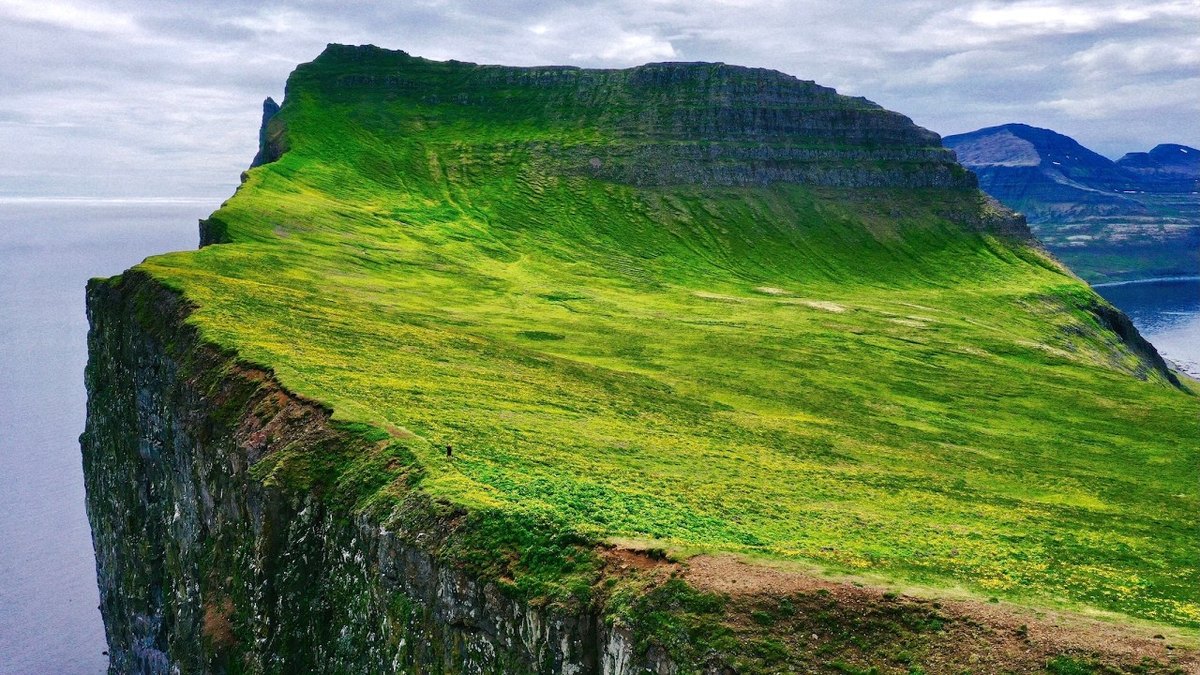
Across Iceland's Hornstrandir reserve from Hesteyri past Aðalvík, Fljótavík and Hornvík to the Hornbjarg cliffs and Veiðileysufjörður.
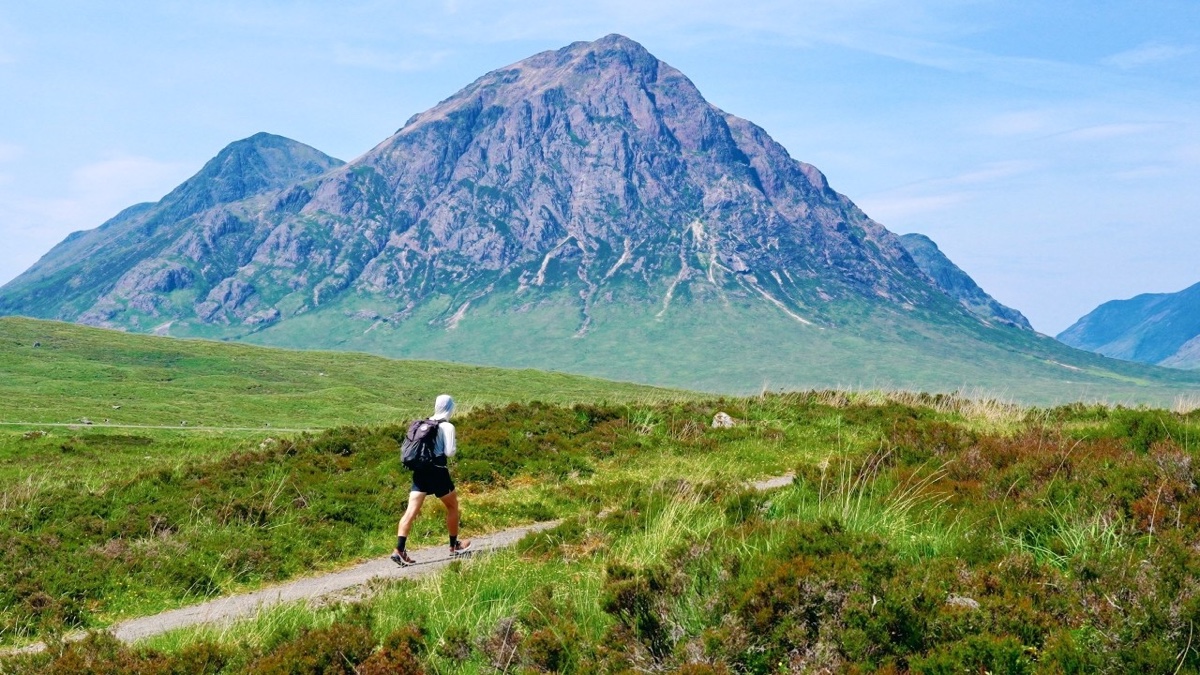
Scottish Highlands, Scotland
4 days · 96 miles · solo, plus Ben Nevis
The West Highland Way from Milngavie to Fort William: Loch Lomond, Glen Falloch, Tyndrum, Bridge of Orchy, Rannoch Moor, the Devil's Staircase, Kinlochleven and the Lairigmor, then Ben Nevis by the Carn Mor Dearg Arete.
I'm making guides for more of my hikes, and I host a group trip about once a year. Get an email when a new guide or trip is out. A few emails a year.