
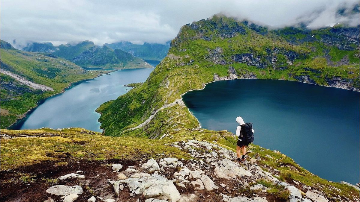
Lofoten Islands, Norway · July 2026 · Solo
Lofoten Islands
136.4 KM · 6 DAYS · 5,450 M
6 days across Norway's Lofoten Islands.
Watch the film 1:19:15 · 170K viewsAt a glance
- Where
- Lofoten Islands, Norway
- Distance
- 136.4 km (84.7 miles)
- Days
- 6 walking days, plus 2 rest days for weather
- Climbing
- About 17,900 ft (5,450 m) up and the same down
- Season
- Summer. I went in July; the midnight sun lasts until about July 17
- Difficulty
- Tough: long days, mud, some road walking, and weather that decides everything
- Route
- Moskenes ferry terminal to Sletteng kryss bus stop on the E10
- When I went
- July 5 to 12, 2026, solo
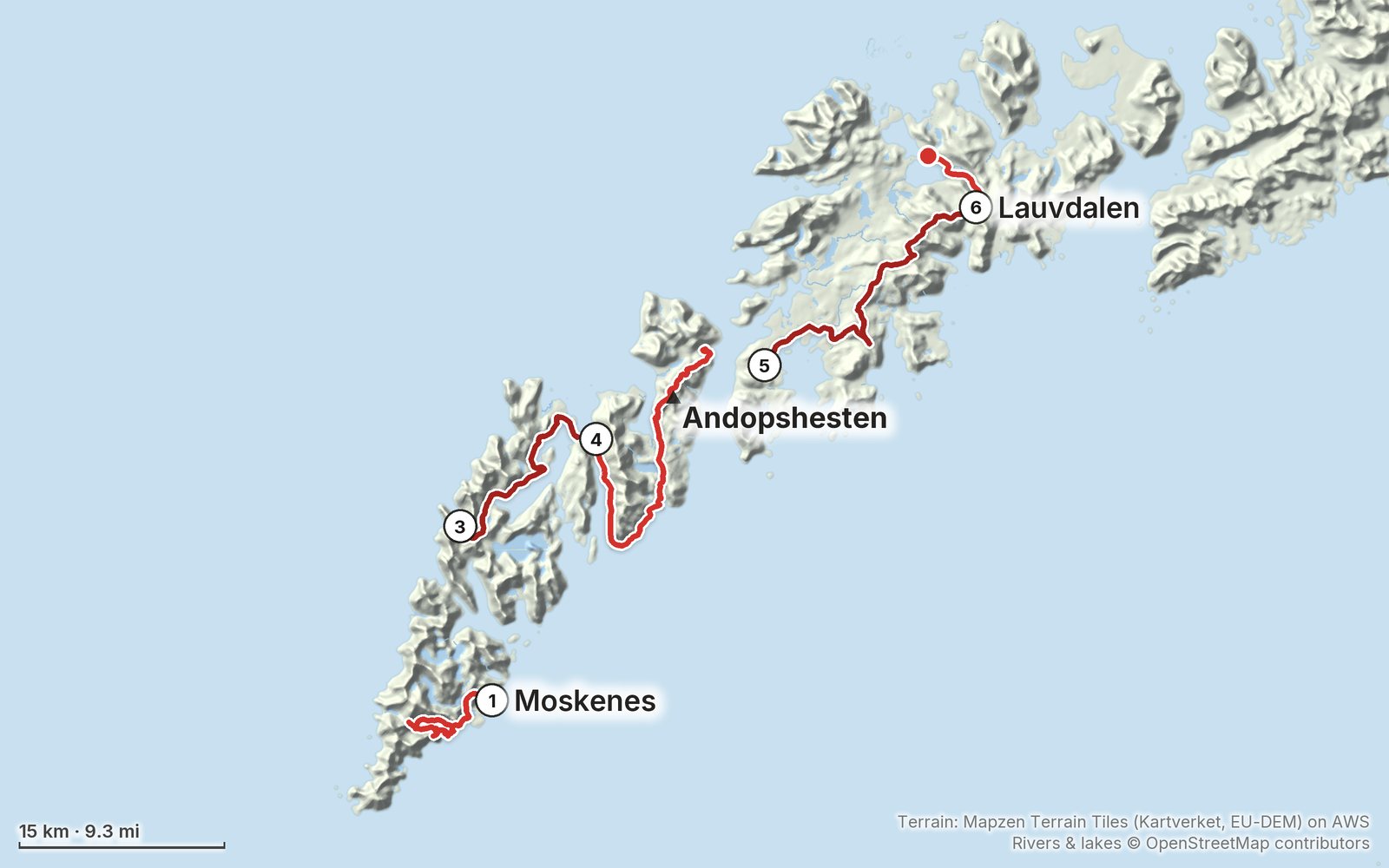
Elevation, start to finish: highest 1,990 ft (605 m), lowest sea level.
My GPS recording on a relief map. The numbers are where each day starts. The GPX files come with the guide.
Everything I made about it
The film

Photos
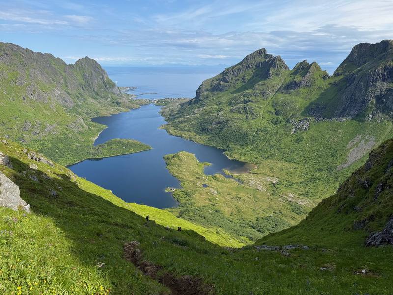
Lakes in the hills west of Å on Day 1. 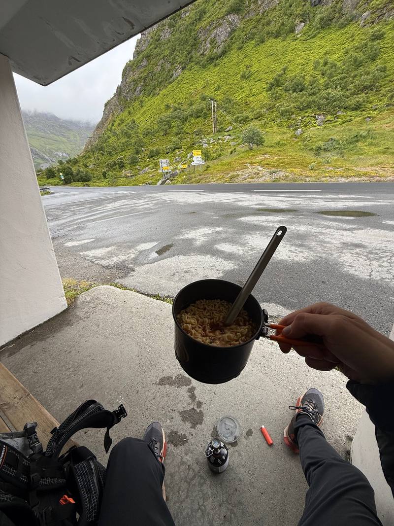
The view from the Fredvang kryss bus shelter, where Day 3 ends. 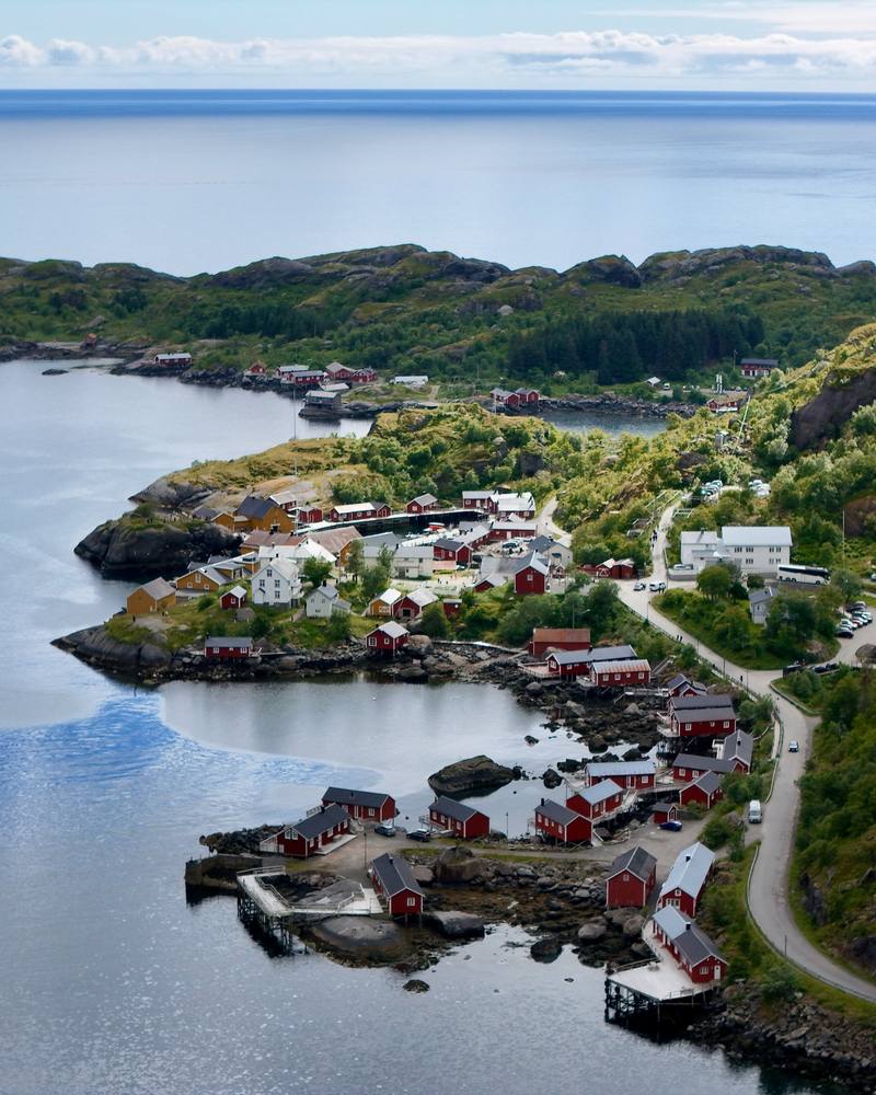
Nusfjord from above on Day 4. 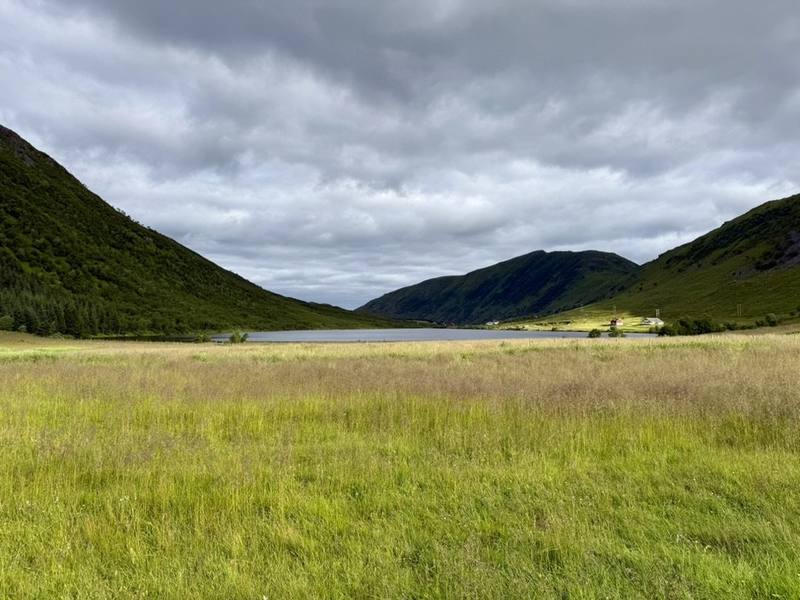
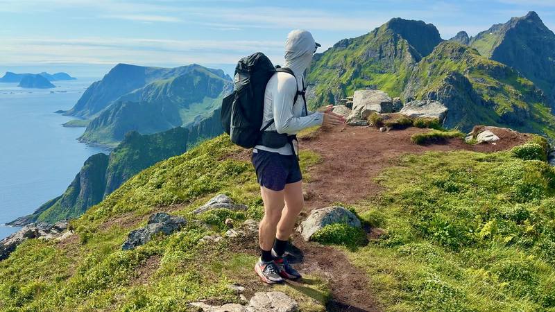
Lauvdalen on the last morning.
The guide · 54-page PDF + GPX files · 2027 season edition
Do it yourself
6 days across Norway's Lofoten Islands.
- All six days
- My GPX files
- Ferries, boats and buses
- Camping, explained
- Food and water
Free sample
Try Day 3 free
The whole Day 3, Horseid to Fredvang kryss page from the guide as a PDF, plus my camping packing list: the 42 things I carry, with a note on each. Both come by email. You'll also get my emails about new guides and trips, a few a year.
Gear on this trip
Paid links: I earn a commission if you buy through these links, at no extra cost to you. As an Amazon Associate I earn from qualifying purchases.
What I carried in 2026
- PackHyperlite Mountain Gear Southwest 2400It carried my tent and kitchen for four nights of camping.
- Rain jacketArc’teryx Beta AR JacketMuch of my trip was wet and windy.
- Power bankNitecore NB20000
- HeadlampNitecore NU20 Classic
- Sleepingmy tent, sleeping bag and pad
- Kitchena gas stove with a canister bought in Bodø, a pot with a long spoon, a soft water bottle
Filming kit
- CameraiPhone 16
- DroneDJI Air 3For the midnight-sun flights.
- TripodSmallRig Carbon Fiber TripodMine broke on this trip, and I threw it away at the end of the film. I bought the same one again.
What I'd take now
My current kit
- TentNEMO Hornet Elite OSMO 1P
- Sleeping padTherm-a-Rest NeoAir XLite NXT
- StoveJetboil Stash
- SpoonTiTo Long Handle Spork
- Water filterKatadyn BeFree AC · 1L
- ShoesOboz Katabatic LT Low GTX
Europe bundle
This guide is in Europe Hiking Guide Pack: 11 guides for $39. Or all 62 guides for $59.
Short answers
- How many days do you need to hike across Lofoten?
- I walked 6 days and took 2 rest days for storms, 8 days from the ferry to the last bus. At a normal pace, plan 8 walking days for the same line, plus a spare day or two for weather.
- When is the best time to hike in Lofoten?
- Summer. I went July 5 to 12, 2026. The midnight sun lasts from about May 27 to July 17 at Moskenes, but the weather decides everything, so build in spare days.
- Where do you sleep hiking across Lofoten?
- Mostly in a tent. Norway's right to roam lets you camp at least 150 m from any house or cabin, but Lofoten has summer no-tent zones around Reine, Vindstad, Å and other busy spots. I also used Moskenes Camping and rooms in Leknes and Gravdal.
- How do you get to the start of the Lofoten hike?
- I flew to Bodø and took the ferry to Moskenes, which was free for foot passengers in 2026. Buy stove fuel in Bodø, since you can't fly with gas canisters.
- How do the buses work in Lofoten?
- Buy tickets in the Reis app or pay by bank card on board for a bit more; the buses and boats haven't taken cash since March 2026. Line 300, the Lofotekspressen, runs along the E10 and on to Harstad/Narvik Airport.
I make my guides with AI, from my own films and GPS recordings. How.