The Lofoten film: Lofoten Islands, Norway

Lofoten Islands, Norway · 6 days · 85 miles

Lofoten Hiking Guide

6 days across Norway's Lofoten Islands.

Watch the film · 168K views
Free sample
  • 168K YouTube views
  • Instant PDF + GPX
  • 30-day refund
  • Free updates

Look inside

Real pages from the guide. Tap one to see it big.

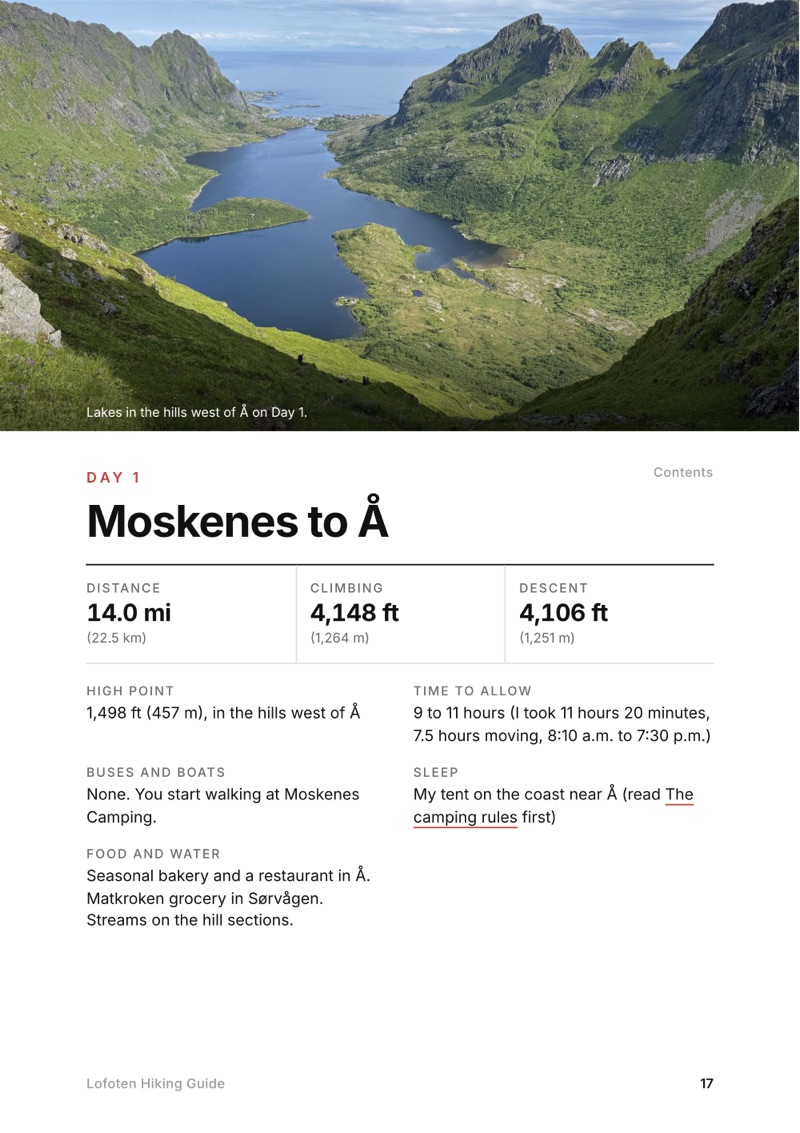
  • A day page page from the Lofoten Hiking Guide
    A day page
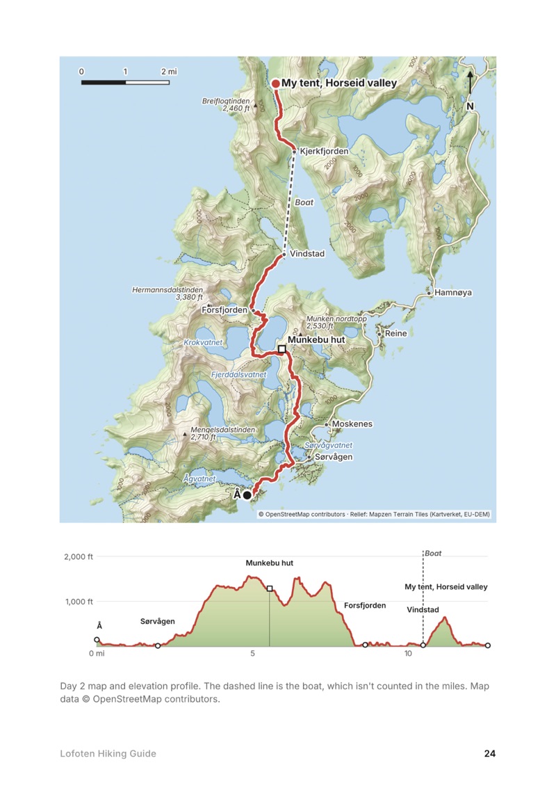
  • A day map and elevation profile page from the Lofoten Hiking Guide
    A day map and elevation profile
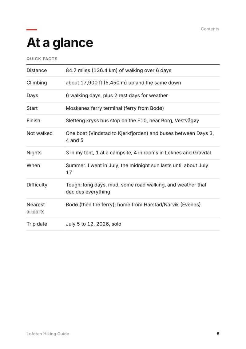
  • At a glance page from the Lofoten Hiking Guide
    At a glance
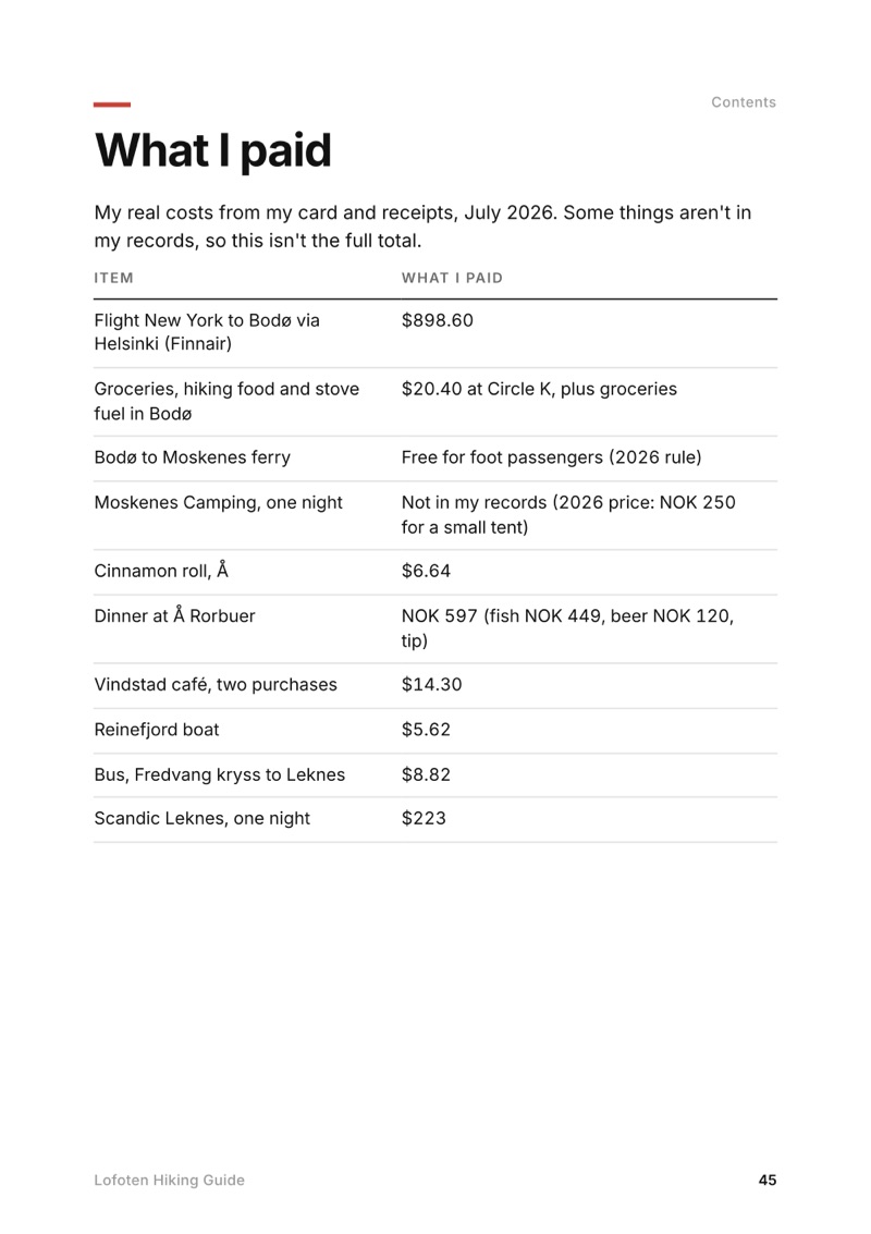
  • What I paid page from the Lofoten Hiking Guide
    What I paid

Swipe for more pages

Get Day 3 free

The route

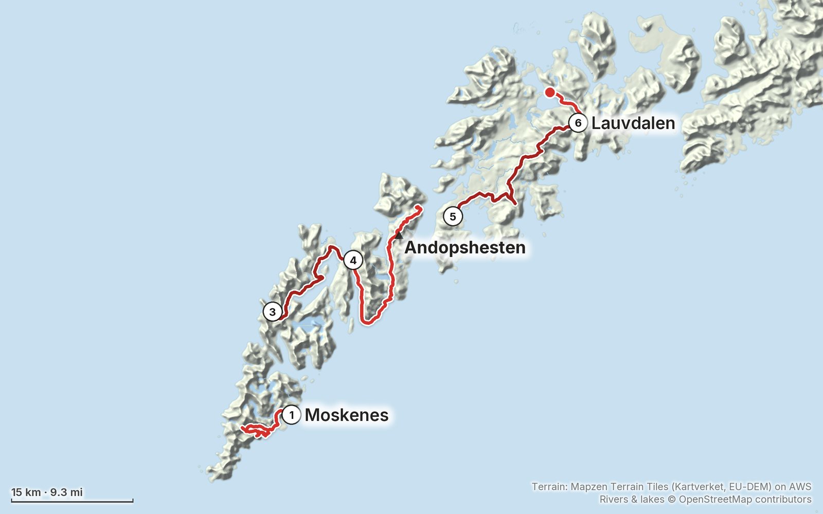
My GPS recording of 5 days on a relief map. The numbers are where each day starts; the red dot is the finish. The full GPX files and the day maps come with the guide.

Relief map of the Lofoten route: 5 days drawn in red with numbered day starts, labelled Moskenes, Andopshesten and Lauvdalen.
Day 1Day 3Day 4Day 56Highest 1,990 ft (605 m)

Elevation, start to finish: highest 1,990 ft (605 m), lowest sea level.

Map data: Terrain: Mapzen Terrain Tiles (Kartverket, EU-DEM) on AWS · Rivers & lakes © OpenStreetMap contributors

At a glance

Days
6 days
Distance
85 miles
Climbing
About 17,900 ft (5,450 m) up
Season
Summer
Nights
3 in my tent, 1 at a campsite, 4 in rooms in Leknes and Gravdal
Route
Moskenes ferry terminal to Sletteng kryss bus stop on the E10

What's inside

  • All six days. Stats, time to allow, my notes, the trail, where to get off, a map with an elevation profile, and links to that day in my film.
  • My GPX files. My own recordings for each walk and the full route, with waypoints for camps, boat and bus stops, ready for AllTrails, Gaia GPS, Garmin or Organic Maps.
  • Ferries, boats and buses. The Bodø to Moskenes ferry (free on foot in 2026), the Reinefjord boat, and the bus lines at every stop I used, plus why you can't walk the Nappstraum tunnel.
  • Camping, explained. The Lofoten no-tent zones and the 150 m rule in plain terms, where I slept each night, and the Munkebu and Gammen huts.
  • Food and water. Where I ate and restocked on each day, and where there's nothing to buy.
  • What I paid. My real costs from card records and receipts, from the flights to a NOK 597 fish dinner.
  • Other ways to do it. A slower 9 to 10 day plan built from my GPS line, and the plan I started with.
  • Before you go and a trip sheet. One page of year-to-year checks and a printable one-page summary of the whole trip.

About this trip

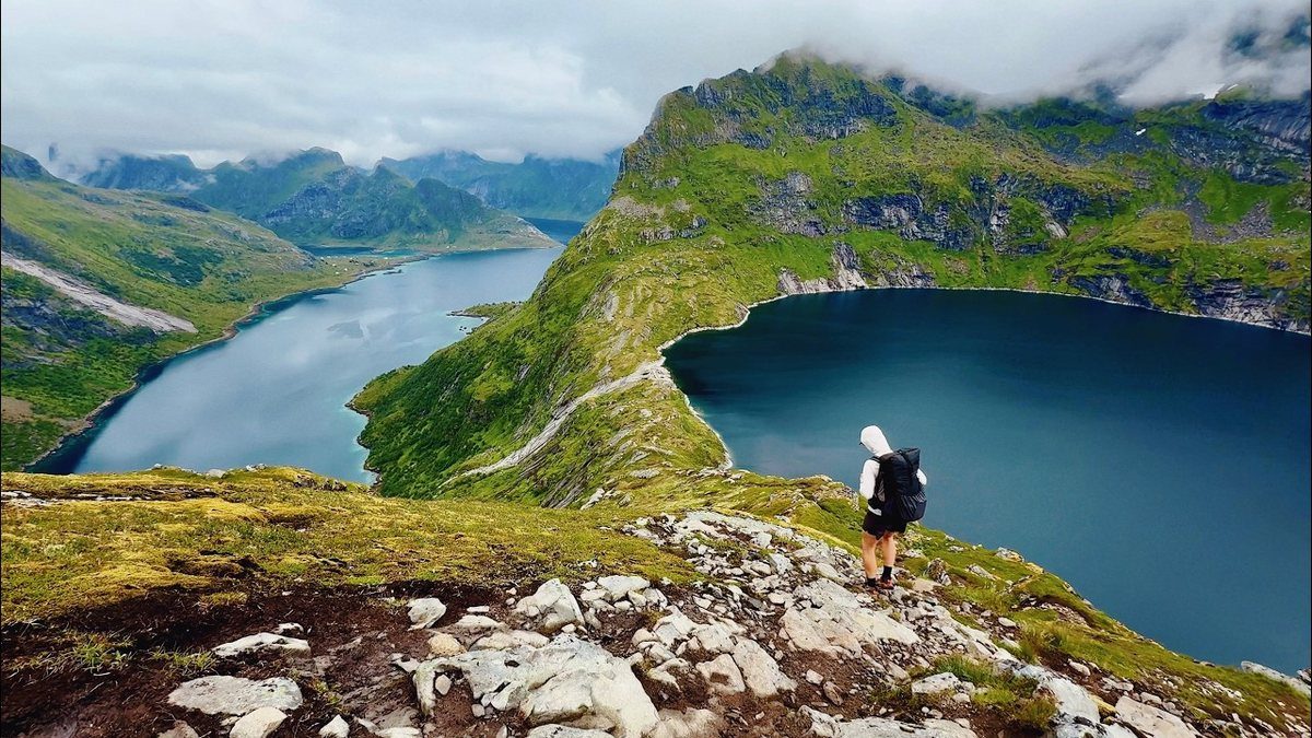
I spent six days hiking alone across the Lofoten Islands in Norway in July 2026, from the Moskenes ferry to a bus stop on the E10 near Borg, with one boat, a lot of buses and two storm days. It was a tough one for sure, and more fragmented than I expected. This guide has my GPS files, maps and notes for every day, plus the ferry, boat and bus stops, the camping rules and what it all cost.

Watch the film on YouTube (168K views).

Gear for this route

Paid links: I earn a commission if you buy through these links, at no extra cost to you. As an Amazon Associate I earn from qualifying purchases.

Lofoten in July was wet and windy for much of my trip, and I camped four nights. Here's what I carried in 2026, what I'd take now, and what I filmed with.

What I carried in 2026

What I'd take now

My current kit for the things this route needs.

Filming kit

I filmed the whole trip on an iPhone 16. It's fun to just shoot iPhone sometimes. Check the drone rules in Weather and safety before you fly: Lofotodden National Park bans drones.

  • CameraiPhone 16
  • DroneDJI Air 3 Amazon now the Air 3SFor the midnight-sun flights.
  • TripodSmallRig Carbon Fiber Tripod AmazonMine broke on this trip, and I threw it away at the end of the film. I bought the same one again.

What I film with now

Since September 2026 I film with a smaller setup: the Pocket 4 and the Mic 3 on the trail, and the Mini 5 Pro in the air.

Everything I carry now: my gear page.

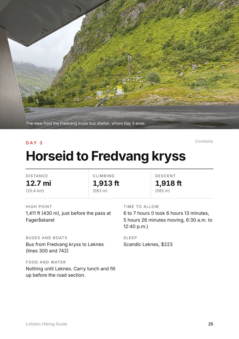
The Day 3, Horseid to Fredvang kryss page from the Lofoten Hiking Guide

Free sample

Try Day 3 free

Horseid to Fredvang kryss

The whole day page from the guide, as a PDF: the photo, the numbers and what to know. It opens as soon as you sign up, and you'll get my emails about new guides and trips, a few a year.

The details

Format
A 54-page PDF sized for a phone (A5, prints fine too) and a folder of GPX files, in one zip download.
Edition
2027 season edition, updated September 2026.
Delivery
Instant. After you pay you get a private download link. Bookmark it to download again on any device.
Payment
Secure checkout through Stripe, in your own currency. Tax is included in the price, except in the US and Canada, where any sales tax is added at checkout.
Refunds
Not useful? Email me within 30 days for a refund: kraig@kraigadams.com.
Questions
Email kraig@kraigadams.com.

Paying in the Facebook/Instagram app? Tap ⋯ and Open in browser to use Apple Pay or Google Pay.

$19

Questions

How many days do you need to hike across Lofoten?
I walked 6 days and took 2 rest days for storms, 8 days from the ferry to the last bus. At a normal pace, plan 8 walking days for the same line, plus a spare day or two for weather.
When is the best time to hike in Lofoten?
Summer. I went July 5 to 12, 2026. The midnight sun lasts from about May 27 to July 17 at Moskenes, but the weather decides everything, so build in spare days.
Where do you sleep hiking across Lofoten?
Mostly in a tent. Norway's right to roam lets you camp at least 150 m from any house or cabin, but Lofoten has summer no-tent zones around Reine, Vindstad, Å and other busy spots. I also used Moskenes Camping and rooms in Leknes and Gravdal.
How do you get to the start of the Lofoten hike?
I flew to Bodø and took the ferry to Moskenes, which was free for foot passengers in 2026. Buy stove fuel in Bodø, since you can't fly with gas canisters.
How do the buses work in Lofoten?
Buy tickets in the Reis app or pay by bank card on board for a bit more; the buses and boats haven't taken cash since March 2026. Line 300, the Lofotekspressen, runs along the E10 and on to Harstad/Narvik Airport.
More guides

All guides
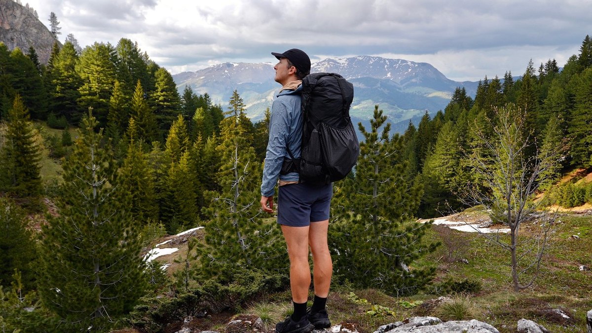
Peaks of the Balkans, Kosovo, Montenegro and Albania

Kosovo, Montenegro and Albania

Peaks of the Balkans

6 days · 115 miles · 3 countries, guesthouses and tent

From Shtupeq in Kosovo's Rugova valley over the Jelenka pass to Plav, Vusanje, Theth, Valbona and Dobërdol, and out to Babino Polje.

  • All six days
  • My GPX files
  • Border permits, explained
  • Guesthouses and getting there

See the guide: Peaks of the Balkans · $19

GR221, Mallorca, Spain

Mallorca, Spain

GR221

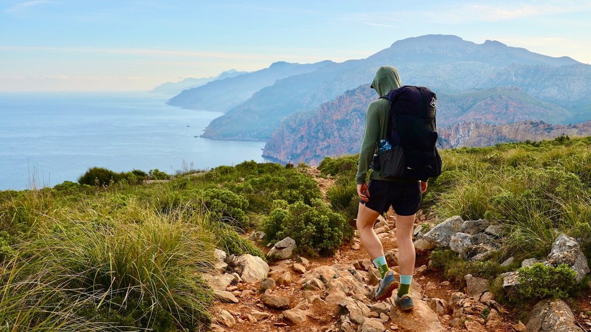
5 days · 88 miles · refuges or camping

The Dry Stone Route across Mallorca's mountains, from Port d'Andratx to Pollença.

  • All five days
  • A map and elevation profile for every day
  • GPX files
  • Water

See the guide: GR221 · $19

Picos de Europa, Northern Spain

Northern Spain

Picos de Europa

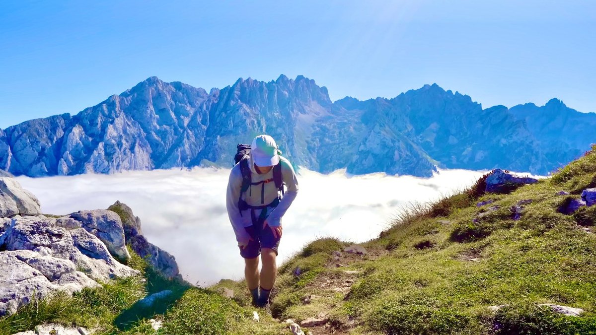
7 days · 90 miles · solo loop

A loop from the Fuente Dé cable car through Sotres, Urriellu, Bulnes, the Cares gorge, Caín, Vega de Ario, Vegabaño and Collado Jermoso.

  • All seven days
  • My GPX files
  • Where to sleep
  • The refuge version

See the guide: Picos de Europa · $19

Get the next guide

I'm making guides for more of my hikes, and I host a group trip about once a year. Get an email when a new guide or trip is out. A few emails a year.

Lofoten Hiking GuideInstant PDF + GPX