
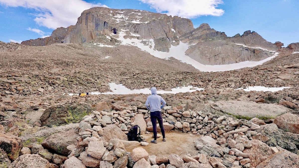
Rocky Mountain National Park, Colorado · June 2022 · Solo
Longs Peak
27 KM · 2 DAYS · 1,700 M
The Keyhole Route in 2 days, with a night at the Boulder Field.
Watch the film 20:29 · 197K viewsAt a glance
- Where
- Rocky Mountain National Park, Colorado
- Distance
- 27 km (17 miles)
- Days
- 2: 8.4 miles on Day 1 (my GPS), about 8.5 on Day 2 (not recorded)
- Climbing
- About 5,600 ft (1,700 m) up and down
- Difficulty
- A long, steady trail to the Boulder Field, then a scramble with big drops from the Keyhole to the summit, at over 13,000 ft. The Park Service says it's not a hike
- Start and end
- The Longs Peak Trailhead
- When I went
- June 2022
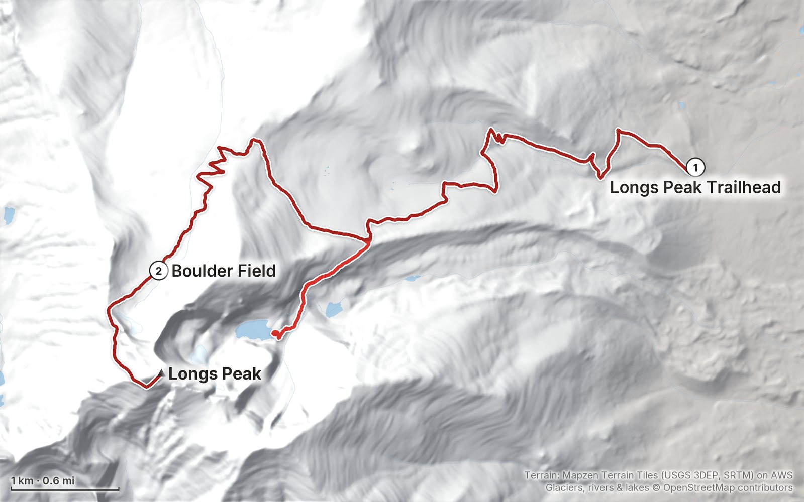
Elevation, start to finish: highest 14,260 ft (4,345 m), lowest 9,390 ft (2,861 m).
My GPS recording on a relief map. The numbers are where each day starts. The GPX files come with the guide.
Everything I made about it
The film

Photos
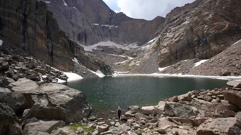
Chasm Lake under the east face of Longs Peak, Day 1 mile 4.5. That's me on the shore. 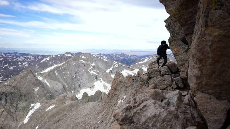
On the Narrows, Day 2.
The guide · 42-page PDF + GPX files · 2027 season edition
Do it yourself
The Keyhole Route in 2 days, with a night at the Boulder Field.
- Where things stand
- Both days
- The GPX files
- The permit and getting there
- Other ways to do it
Free sample
Try Day 1 free
The whole Day 1, Longs Peak Trailhead to the Boulder Field page from the guide as a PDF, plus my camping packing list: the 42 things I carry, with a note on each. Both come by email. You'll also get my emails about new guides and trips, a few a year.
Music in this film
- Daydream for AvaleenAlicia Enstrom · Musicbed
What I'd take now
My current kit
The Americas and New Zealand bundle
This guide is in The Americas and New Zealand Hiking Guide Pack: 36 guides for $39. Or all 62 guides for $59.
Short answers
- Do you need a permit to climb Longs Peak?
- Not for a day climb. To camp at the Boulder Field you need a Rocky Mountain National Park wilderness permit ($36 a trip in summer 2026), picked up in person with a bear canister. In 2026 you also needed a timed-entry reservation to drive into the park between 9 a.m. and 2 p.m. from May 22 to October 12, unless you arrive earlier.
- How long is the Keyhole Route on Longs Peak?
- The Park Service says 7.5 miles to the summit and 15 miles round trip, 10 to 15 hours. My first day, from the trailhead with a detour to Chasm Lake, was 8.4 miles by my GPS; the second, from the Boulder Field to the summit and down, about 8.5.
- How hard is Longs Peak?
- Up to the Boulder Field it's a long, steady trail. Above the Keyhole it's a scramble on rock with big drops, at over 13,000 ft, and the Park Service says it's not a hike: a fall there can be fatal. I found it less scary than the videos I'd watched, but I'd done harder scrambles before.
- When is the best time to climb Longs Peak?
- The route is most often free of snow and ice from about mid-July to mid-September. That's also thunderstorm season, so start very early and be back below tree line by noon. I went in late June, with some ice and snow still up top.
- Can you camp at the Boulder Field on Longs Peak?
- Yes, with a wilderness permit: nine sites inside stone windbreaks at 12,760 ft, about 6 miles from the trailhead, with a privy and water from Boulder Brook. A hard-sided bear canister is required.
- Is there water on the Keyhole Route?
- There are brooks along the trail and Boulder Brook at the Boulder Field (treat it). Above the Boulder Field there's none: the Park Service says to carry 3 to 4 quarts.
I make my guides with AI, from my own films and GPS recordings. How.