Rocky Mountain National Park · 2 days · about 17 miles · Colorado

Longs Peak Hiking Guide

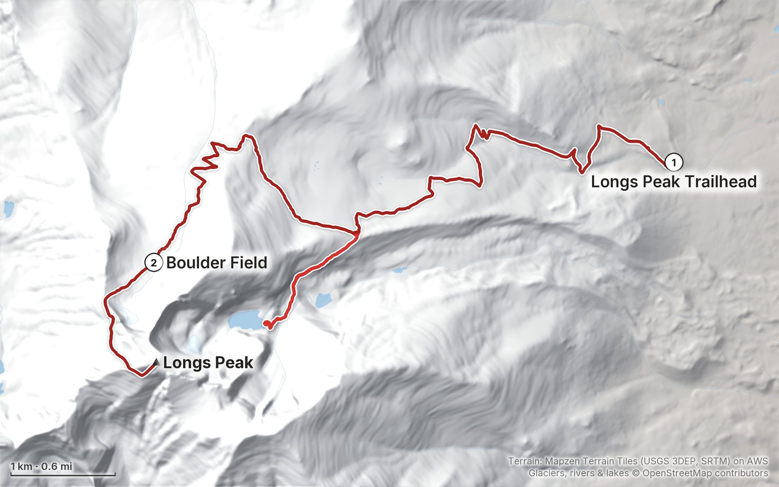
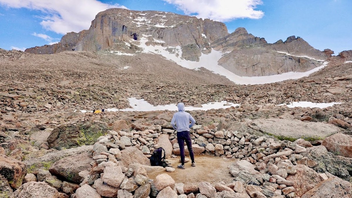
In June 2022, in my first month living in Denver, I climbed Longs Peak alone by the Keyhole Route: up from the Longs Peak Trailhead with a detour to Chasm Lake, a night in a stone windbreak at the Boulder Field, then the Keyhole, the Ledges, the Trough, the Narrows and the Homestretch to the summit early the next morning and back down. It's the trip from my film Solo Silent Hike Up Longs Peak. This guide has my GPX files, maps and notes for both days, the route above the Keyhole section by section, the 2026 wilderness permit, timed entry and rules, getting to the trailhead, snow by month, costs, safety and a trip sheet.

Paying in the Facebook/Instagram app? Tap ⋯ and Open in browser to use Apple Pay or Google Pay.

$19Watch the film

Instant download: PDF + GPX files.
Not useful? Email me within 30 days for a refund.

The cover of the Longs Peak Hiking Guide

What's inside

Look inside

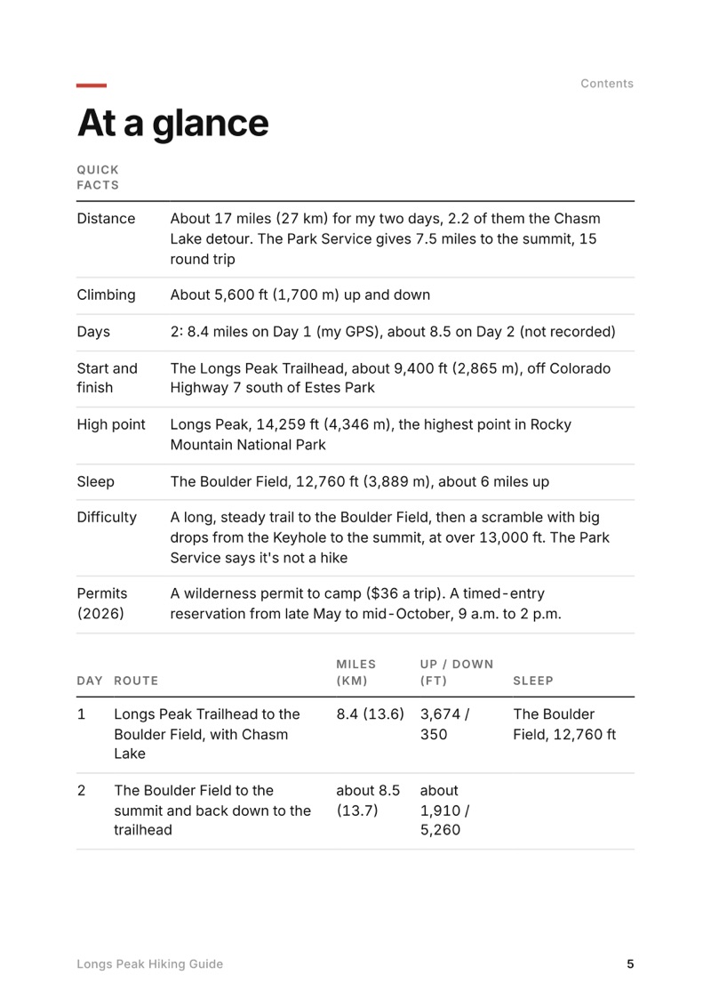
At a glance page from the Longs Peak Hiking Guide
At a glance
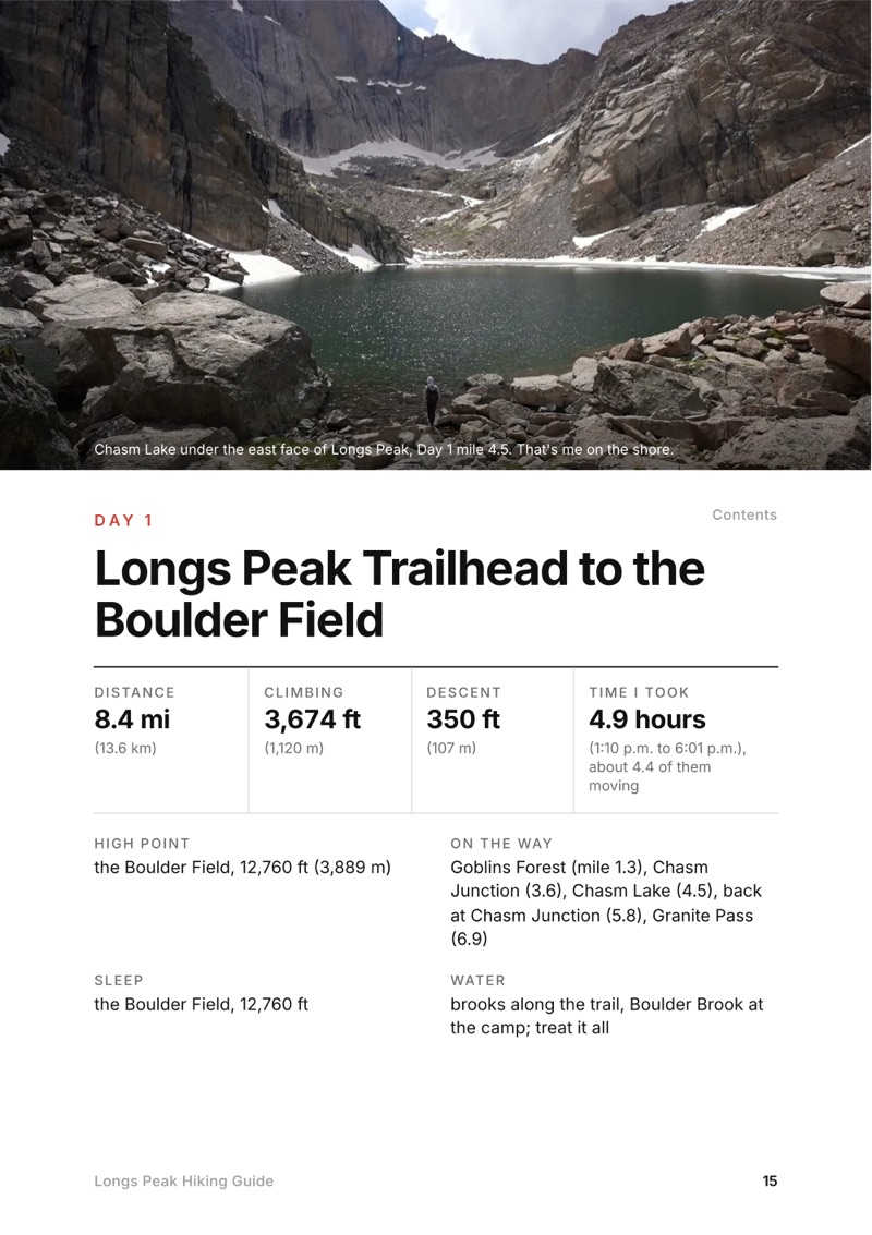
A day page page from the Longs Peak Hiking Guide
A day page
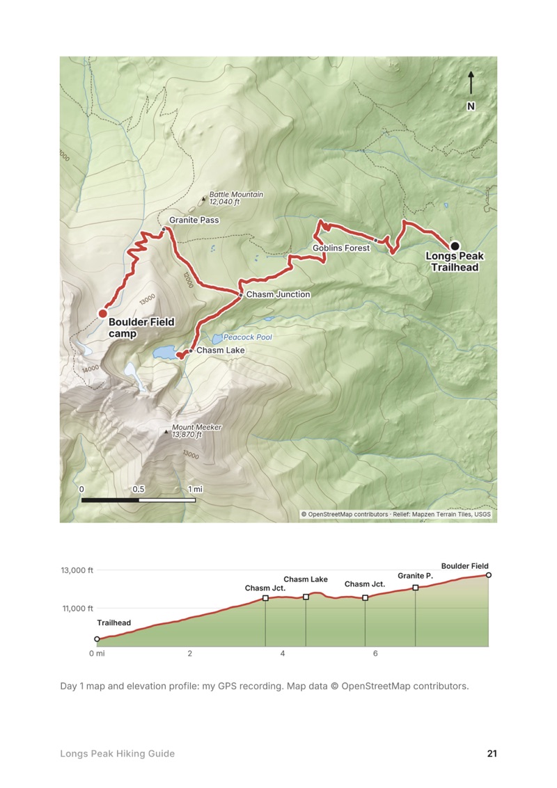
A day map and elevation profile page from the Longs Peak Hiking Guide
A day map and elevation profile
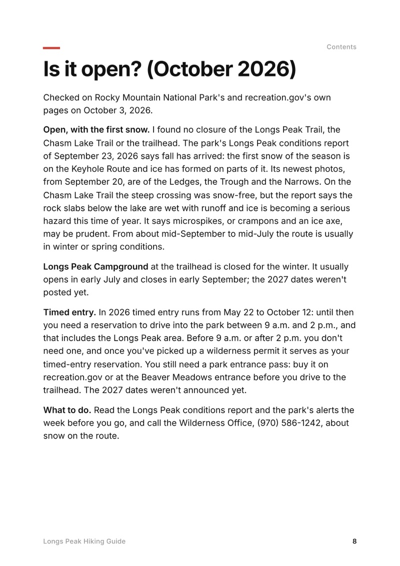
Is it open? (October 2026) page from the Longs Peak Hiking Guide
Is it open? (October 2026)

The details

Format
A 42-page PDF sized for a phone (A5, prints fine too) and a folder of GPX files, in one zip download.
Edition
2027 season edition, updated October 2026.
Delivery
Instant. After you pay you get a private download link. Bookmark it to download again on any device.
Payment
Secure checkout through Stripe, in your own currency. Tax is included in the price, except in the US and Canada, where any sales tax is added at checkout.
Refunds
Not useful? Email me within 30 days for a refund: kraig@kraigadams.com.
Questions
Email kraig@kraigadams.com.

Paying in the Facebook/Instagram app? Tap ⋯ and Open in browser to use Apple Pay or Google Pay.

$19

Questions

Do you need a permit to climb Longs Peak?
Not for a day climb. To camp at the Boulder Field you need a Rocky Mountain National Park wilderness permit ($36 a trip in summer 2026), picked up in person with a bear canister. In 2026 you also needed a timed-entry reservation to drive into the park between 9 a.m. and 2 p.m. from May 22 to October 12, unless you arrive earlier.
How long is the Keyhole Route on Longs Peak?
The Park Service says 7.5 miles to the summit and 15 miles round trip, 10 to 15 hours. My first day, from the trailhead with a detour to Chasm Lake, was 8.4 miles by my GPS; the second, from the Boulder Field to the summit and down, about 8.5.
How hard is Longs Peak?
Up to the Boulder Field it's a long, steady trail. Above the Keyhole it's a scramble on rock with big drops, at over 13,000 ft, and the Park Service says it's not a hike: a fall there can be fatal. I found it less scary than the videos I'd watched, but I'd done harder scrambles before.
When is the best time to climb Longs Peak?
The route is most often free of snow and ice from about mid-July to mid-September. That's also thunderstorm season, so start very early and be back below tree line by noon. I went in late June, with some ice and snow still up top.
Can you camp at the Boulder Field on Longs Peak?
Yes, with a wilderness permit: nine sites inside stone windbreaks at 12,760 ft, about 6 miles from the trailhead, with a privy and water from Boulder Brook. A hard-sided bear canister is required.
Is there water on the Keyhole Route?
There are brooks along the trail and Boulder Brook at the Boulder Field (treat it). Above the Boulder Field there's none: the Park Service says to carry 3 to 4 quarts.
More guides

All guides
Adirondack High Peaks, High Peaks Wilderness, New York

High Peaks Wilderness, New York

Adirondack High Peaks

2 days · 18 miles · lean-to

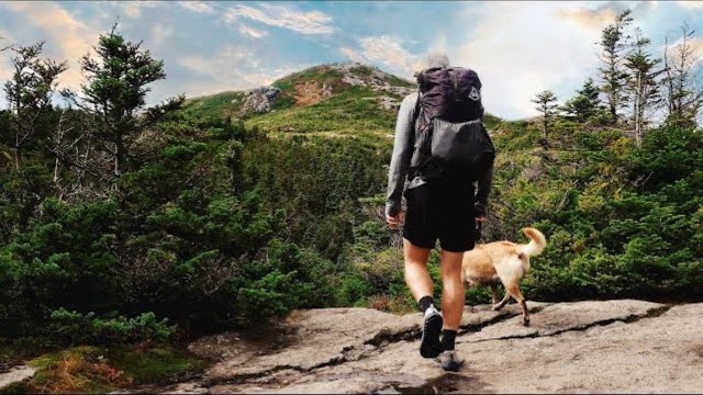
A 2-day loop over Mount Marcy and Algonquin Peak from the Adirondak Loj in New York's High Peaks, with a night at Lake Colden, plus a 3-day traverse from Keene Valley.

  • Both days of the loop
  • My GPX files
  • My 2019 traverse
  • Permits and rules

See the guide: Adirondack High Peaks · $19

Trans-Catalina Trail, Southern California

Southern California

Trans-Catalina Trail

2 days · 42 miles · Catalina Island

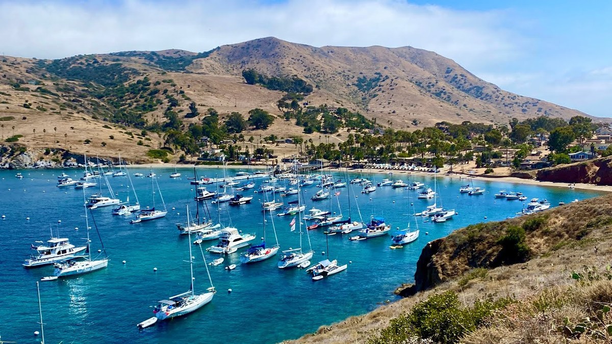
A 2-day hike across Santa Catalina Island, California, on the Trans-Catalina Trail: from Avalon to Little Harbor, then to Two Harbors by way of the Silver Peak Trail and Parsons Landing.

  • Where things stand
  • Both days
  • My GPX files
  • Permits, campgrounds and rules

See the guide: Trans-Catalina Trail · $19

Get the next guide

I'm making guides for more of my hikes, and I host a group trip about once a year. Get an email when a new guide or trip is out. A few emails a year.