
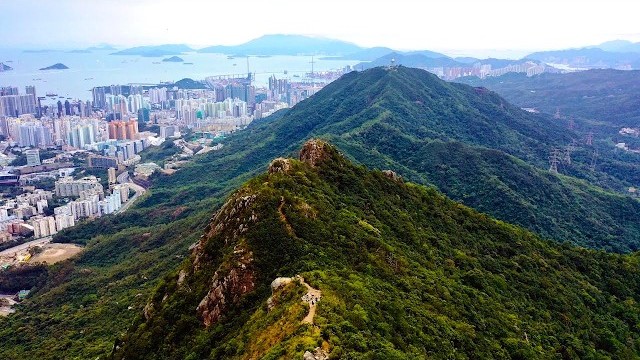
Hong Kong · January 2020
MacLehose Trail
114.9 KM · 5 DAYS · 4,660 M
5 days across Hong Kong, from Sai Kung to Tuen Mun.
Watch the film 19:40 · 345K viewsAt a glance
- Where
- Hong Kong
- Distance
- 114.9 km (71.4 miles)
- Days
- 5 walking days, January 22 to 28, 2020, with 2 days off in the city in the middle; 4 nights camping
- Climbing
- About 15,300 ft (4,660 m) up and 16,620 ft (5,070 m) down
- Season
- October to March, the cool, dry season. I walked in late January
- Difficulty
- Clear, signed paths, roads and lots of stairs, with a numbered post every 500 m. Hot and humid outside winter
- Route
- Pak Tam Chung to Tuen Mun
- When I went
- January 2020
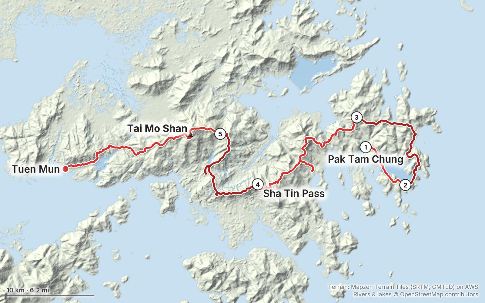
Elevation, start to finish: highest 3,040 ft (927 m), lowest sea level.
My GPS recording on a relief map. The numbers are where each day starts. The GPX files come with the guide.
Everything I made about it
The film

Photos
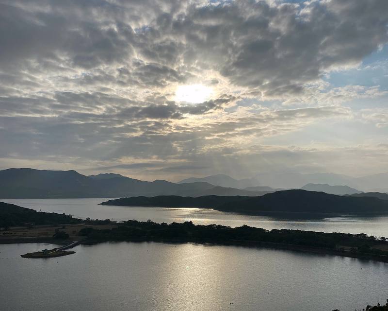
High Island Reservoir from the road on Section 1, late on Day 1. 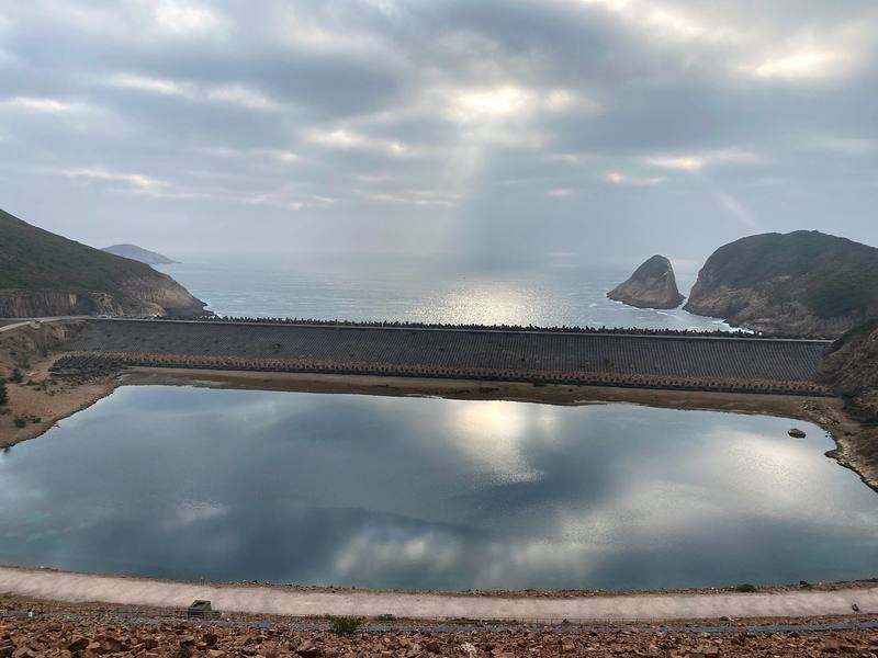
The East Dam of High Island Reservoir, early on Day 2. 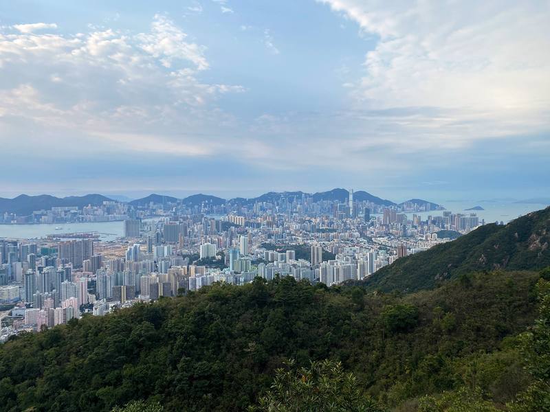
Kowloon from the ridge by Lion Rock, early on Day 4. 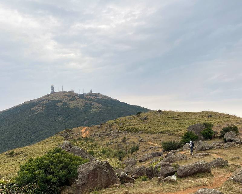
The path toward Tai Mo Shan, the morning of Day 5.
The guide · 53-page PDF + GPX files · 2027 season edition
Do it yourself
5 days across Hong Kong, from Sai Kung to Tuen Mun.
- All five days
- My GPX files
- Planning the nights
- Getting there and getting off
- Water and food
Free sample
Try Day 2 free
The whole Day 2, Pak Lap to Cheung Sheung page from the guide as a PDF, plus my camping packing list: the 42 things I carry, with a note on each. Both come by email. You'll also get my emails about new guides and trips, a few a year.
Gear on this trip
Paid links: I earn a commission if you buy through these links, at no extra cost to you. As an Amazon Associate I earn from qualifying purchases.
What I carried in 2020
- PackHyperlite Mountain Gear Southwest 2400
- Sleeping bagUGQ Bandit quiltSimilar now: Hyperlite Mountain Gear 20° Quilt
- LinerOutdoor Vitals Sleeping Bag Liner
- HeadlampSLONIK rechargeable headlampIn January it's dark soon after 6 p.m.
- Sun hoodieAmazon Essentials Quick-Dry Tech Hoodie
- Gore-Tex shellThe North Face Dryzzle jacketSimilar now: Arc’teryx Beta AR Jacket
- PuffyPatagonia Nano Puff JacketSimilar now: Arc’teryx Cerium Hoody
- SweaterAmazon Essentials crewneck fleece sweatshirt
- Pantszip-off pantsSimilar now: PATH Projects Killam PX Pant
- ShortsTHE II BRO compression shorts
- White hatZOWYA running cap
- SunglassesWarby Parker Barkley sunglassesSimilar now: Goodr OG Sunglasses
- SocksDG Hill merino wool hiking socksTwo pairs.
- ShoesBrooks Cascadia 13
- Navigationthe AllTrails appIt recorded each day.
Filming kit
- CameraSony a7 III
- LensSony FE 16-35mm f/2.8 GM
- BatteriesSony NP-FZ100 batteriesFour of them.
- MicRode VideoMic NTG
- TripodManfrotto Element Traveller Small tripod
- StrapPeak Design camera strap
- DroneDJI Mavic 2 ProNo longer made. Similar now: DJI Mini 5 Pro
- Phonean iPhone 11 Pro and a phone battery
What I'd take now
My current kit
- TentNEMO Hornet Elite OSMO 1P
- Sleeping padTherm-a-Rest NeoAir XLite NXT
- StoveJetboil Stash
- Water filterKatadyn BeFree AC · 1L
- Sun hoodiePATH Projects Pyrenees T19 Hoodie
- Power bankNitecore NB20000
Asia bundle
This guide is in Asia Hiking Guide Pack: 8 guides for $39. Or all 62 guides for $59.
Short answers
- How many days does the MacLehose Trail take?
- I walked it in 5 days in January 2020, with two days off in the city in the middle, camping four nights. The official trail is 100 km in 10 sections, and the parks department adds up to about 37 hours of walking. Many people walk it a section or two at a time from the city, because buses reach almost every section end.
- Can you camp on the MacLehose Trail?
- Yes, but only at the parks department's (AFCD) designated campsites, which are free. On or by the trail they include Pak Lap, Long Ke Wan, Sai Wan, Ham Tin Wan, Pak Tam Au, Cheung Sheung, Shui Long Wo, Ngong Ping, Lead Mine Pass, Rotary Park, Twisk, Ho Pui and Tin Fu Tsai. Twisk needs a booking. There is no campsite on Sections 5, 6 or 10.
- Where does the MacLehose Trail start and finish?
- It starts at Pak Tam Chung in Sai Kung, reached by bus 94 from Sai Kung town (and 96R and 289R on weekends and holidays), and finishes at Tuen Mun, near buses, the light rail and Tuen Mun MTR station.
- Is there water on the MacLehose Trail?
- Only in places. AFCD's filling stations are at Pak Tam Chung, Pak Tam Au, Sai Sha Road at Kei Ling Ha, Shing Mun and Kowloon Hill, and there are village restaurants at Sai Wan and Ham Tin. There are none on Sections 4, 5 or 7 to 10, so carry plenty and treat stream water.
- When is the best time to hike the MacLehose Trail?
- October to March, the cool and dry season. The Hong Kong Observatory calls November and December the best months of the year; May to September is hot, humid and rainy, with typhoons most likely from July to September. I went in late January.
- How long is the MacLehose Trail?
- 100 km (62 miles) by the official sections. My GPS read 71.4 miles because of my detours: down to the Sai Kung road for Lunar New Year, up to the top of Lion Rock, and down to shops in Kwai Chung.
I make my guides with AI, from my own films and GPS recordings. How.