
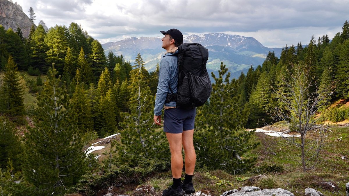
Kosovo, Montenegro and Albania · May 2026 · Solo
Peaks of the Balkans
185.7 KM · 6 DAYS · 9,110 M
6 days through Kosovo, Montenegro and Albania.
Watch the film 21:31 · 33K viewsAt a glance
- Where
- Kosovo, Montenegro and Albania
- Distance
- 185.7 km (115.4 miles)
- Days
- 6 walking days
- Climbing
- About 29,900 ft (9,110 m) up and 28,200 ft (8,600 m) down
- Season
- Guesthouse season is summer. I went in late May, with a lot of snow
- Difficulty
- Hard in May: long days, steep snow without a trail to follow, and storms
- Route
- Shtupeq i Madh to Babino Polje
- When I went
- May 20 to 25, 2026
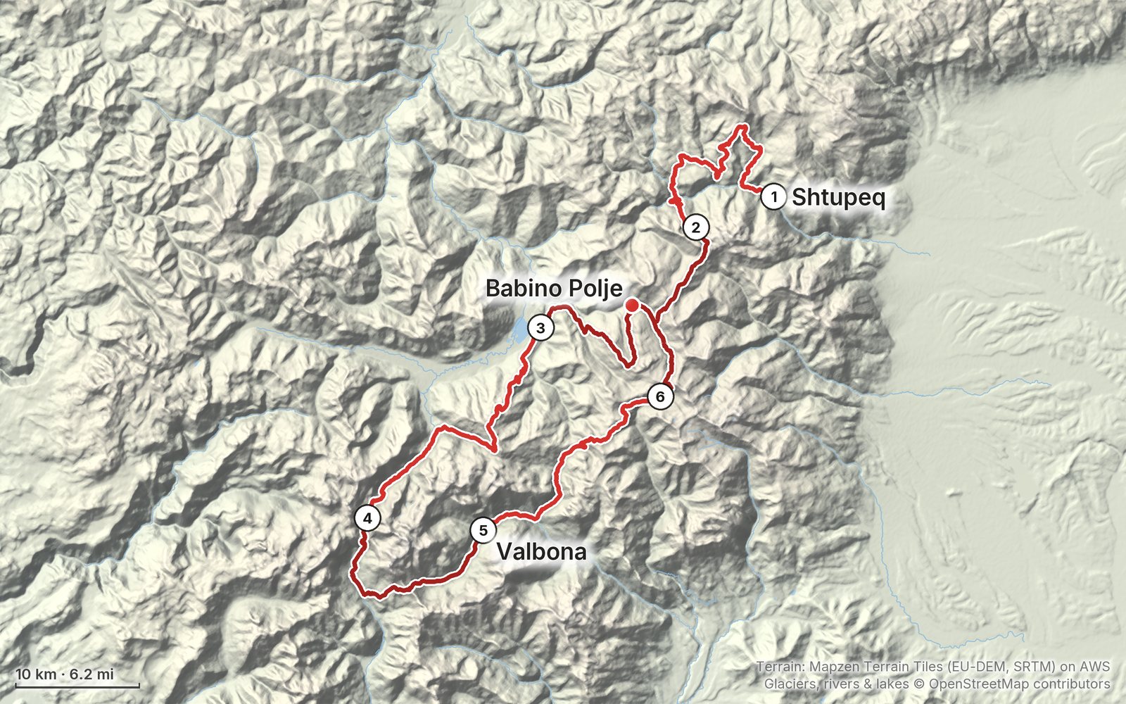
Elevation, start to finish: highest 7,450 ft (2,270 m), lowest 2,240 ft (682 m).
My GPS recording on a relief map. The numbers are where each day starts. The GPX files come with the guide.
Everything I made about it
The films
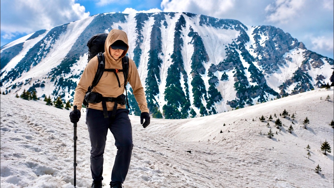 Hiking film · 2026Hiking 100 miles Alone in the Balkans21:31 · 33K views
 Hiking film · 2026Hiking 100 miles in 6 days on the Peaks of the Balkans58:09 · 90K views
Photos
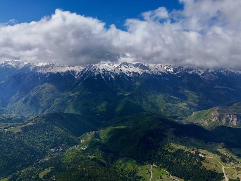
The view from my first high point on Day 1, near Llutovë. 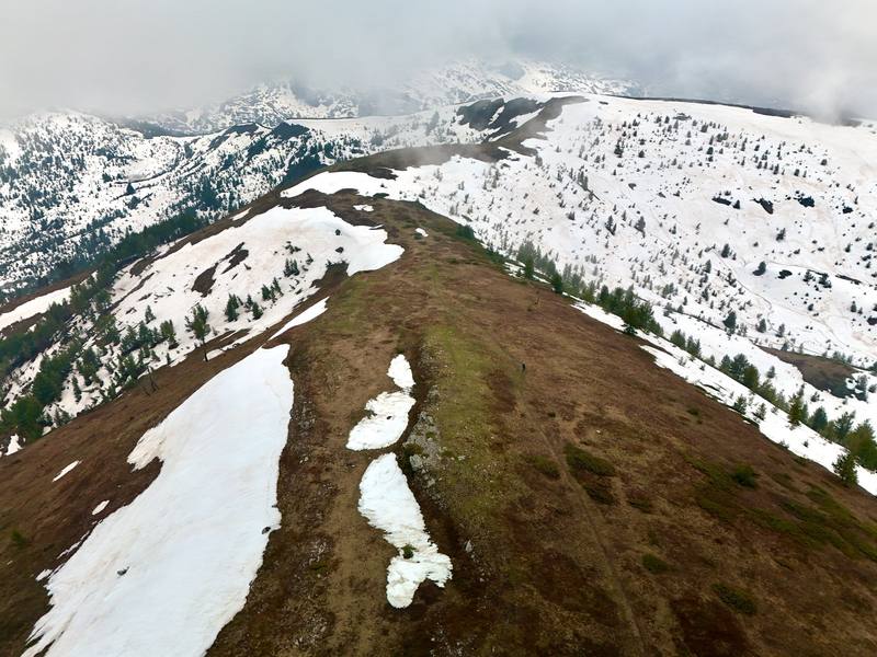
The snowy ridge above Vusanje on Day 3. 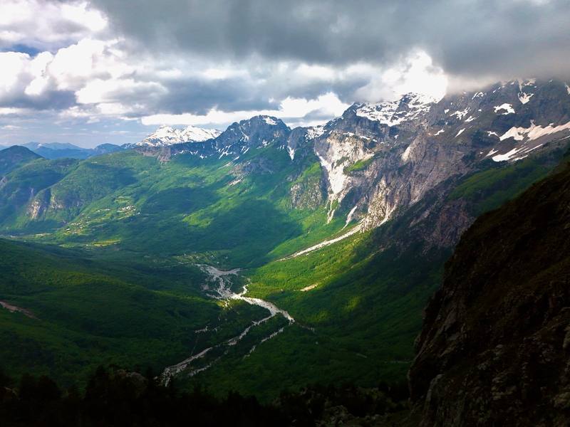
The Theth valley from Qafa e Pejës on Day 4. 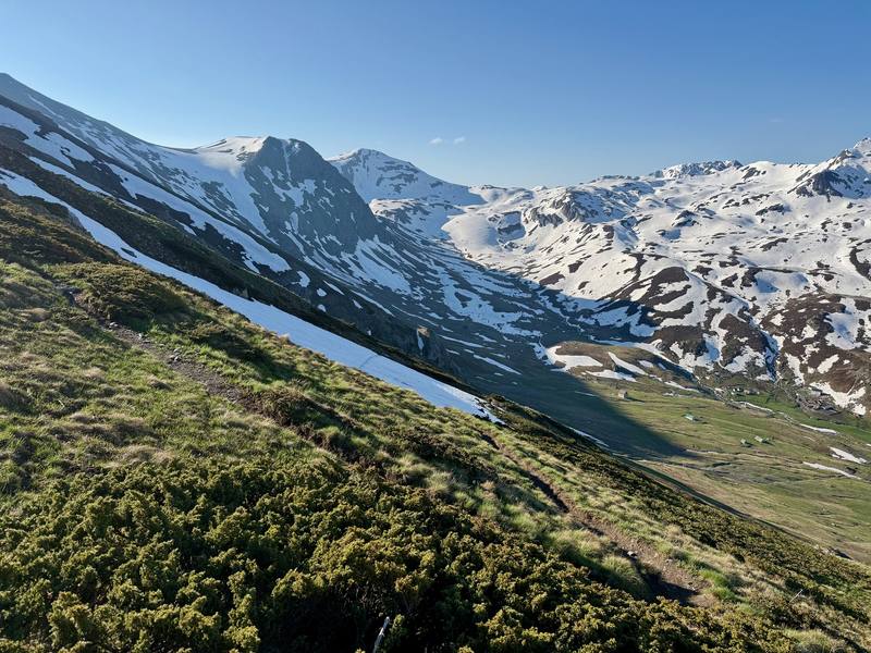
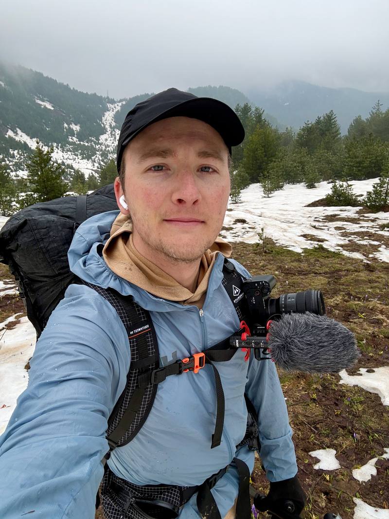
The icy slopes near where I turned back on Day 6.
The guide · 68-page PDF + GPX files · 2027 season edition
Do it yourself
6 days through Kosovo, Montenegro and Albania.
- All six days
- My GPX files
- Border permits, explained
- Guesthouses and getting there
- Early-season snow
Free sample
Try Day 4 free
The whole Day 4, Qafa e Pejës to Valbona page from the guide as a PDF, plus my camping packing list: the 42 things I carry, with a note on each. Both come by email. You'll also get my emails about new guides and trips, a few a year.
Music in this films
- ArcaneRowanoak · Musicbed
- AscendZachary David · Musicbed
- for dear lifeThe Field Tapes · Musicbed
- Gentle Stress ReleaseModality Waves · Musicbed
- Letting Go of Sleep AnxietyModality Waves · Musicbed
- LiminalRowanoak · Musicbed
- MysteryAK · Musicbed
- NoeticRowanoak · Musicbed
- Release Anxiety Before SleepModality Waves · Musicbed
- Settle Fear and OverthinkingModality Waves · Musicbed
- Through the Airinola · Musicbed
- Valleycardamom · Musicbed
What I'd take now
My current kit
Europe bundle
This guide is in Europe Hiking Guide Pack: 11 guides for $39. Or all 62 guides for $59.
Short answers
- How many days do you need for the Peaks of the Balkans?
- Most people take 10 to 12 days, a stage a day, with a guesthouse every night. I walked 115 miles in six days, which meant long days of 17 to 25 miles.
- Do you need a permit for the Peaks of the Balkans?
- Yes, to cross the borders on the trail. It's free in Albania and Kosovo, and Montenegro charges EUR 6 per application plus EUR 3 per person (2026). Apply at least two weeks ahead, or pay a local operator to do it.
- When is the best time to hike the Peaks of the Balkans?
- Roughly mid-June to mid-September, when the guesthouses are open and the snow is gone. I went in late May 2026. The trails were empty, but the high passes were buried in snow and I didn't finish the loop.
- Where do you sleep on the Peaks of the Balkans?
- In guesthouses. Families in the villages rent beds and cook dinner and breakfast, and many pack lunch. I also camped twice when there was nowhere else to sleep that high up.
- How do you get to the Peaks of the Balkans trail?
- There's a way in from each country: buses from Pristina to Peja and the Rugova valley, from Podgorica to Plav, or minibuses from Shkodër to Theth and the Komani ferry toward Valbona. I flew into Pristina and started in Rugova.
I make my guides with AI, from my own films and GPS recordings. How.