
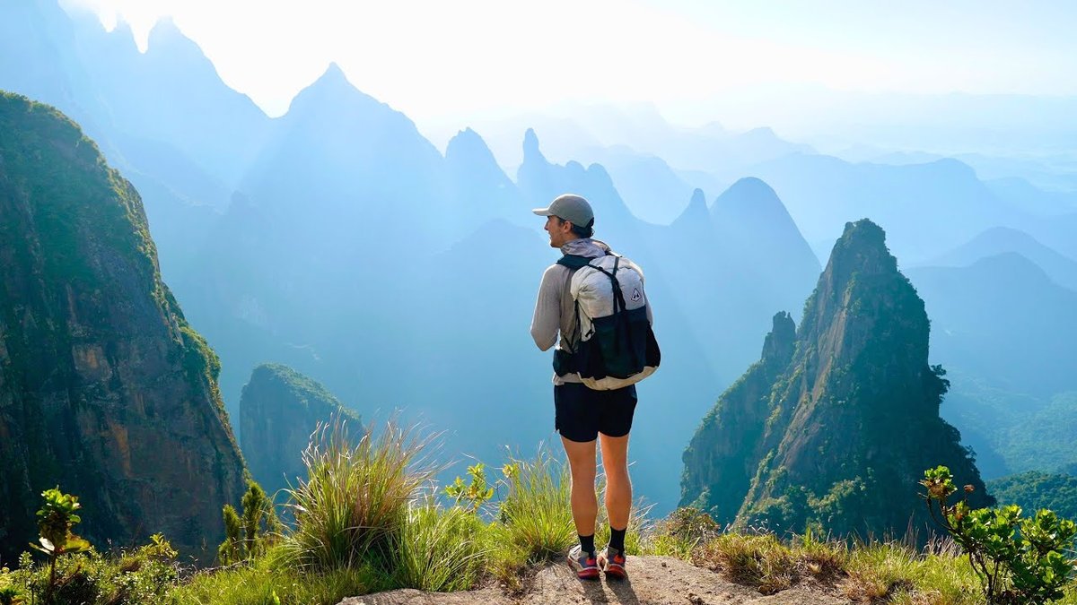
Serra dos Órgãos, Brazil · April 2024 · Solo
Travessia Petrópolis-Teresópolis
30.4 KM · 2 DAYS · 1,930 M
The Serra dos Órgãos traverse in Brazil, Bonfim to Teresópolis in 2 days.
Watch the film 11:43 · 146K viewsAt a glance
- Where
- Serra dos Órgãos, Brazil
- Distance
- 30.4 km (18.9 miles)
- Days
- 2 for me. ICMBio plans 3 and recommends 3
- Climbing
- About 6,330 ft (1,930 m) up and 5,690 ft (1,735 m) down, by my GPS
- Route
- The Bonfim entrance to The Barragem trailhead on the Teresópolis side
- When I went
- April 2024
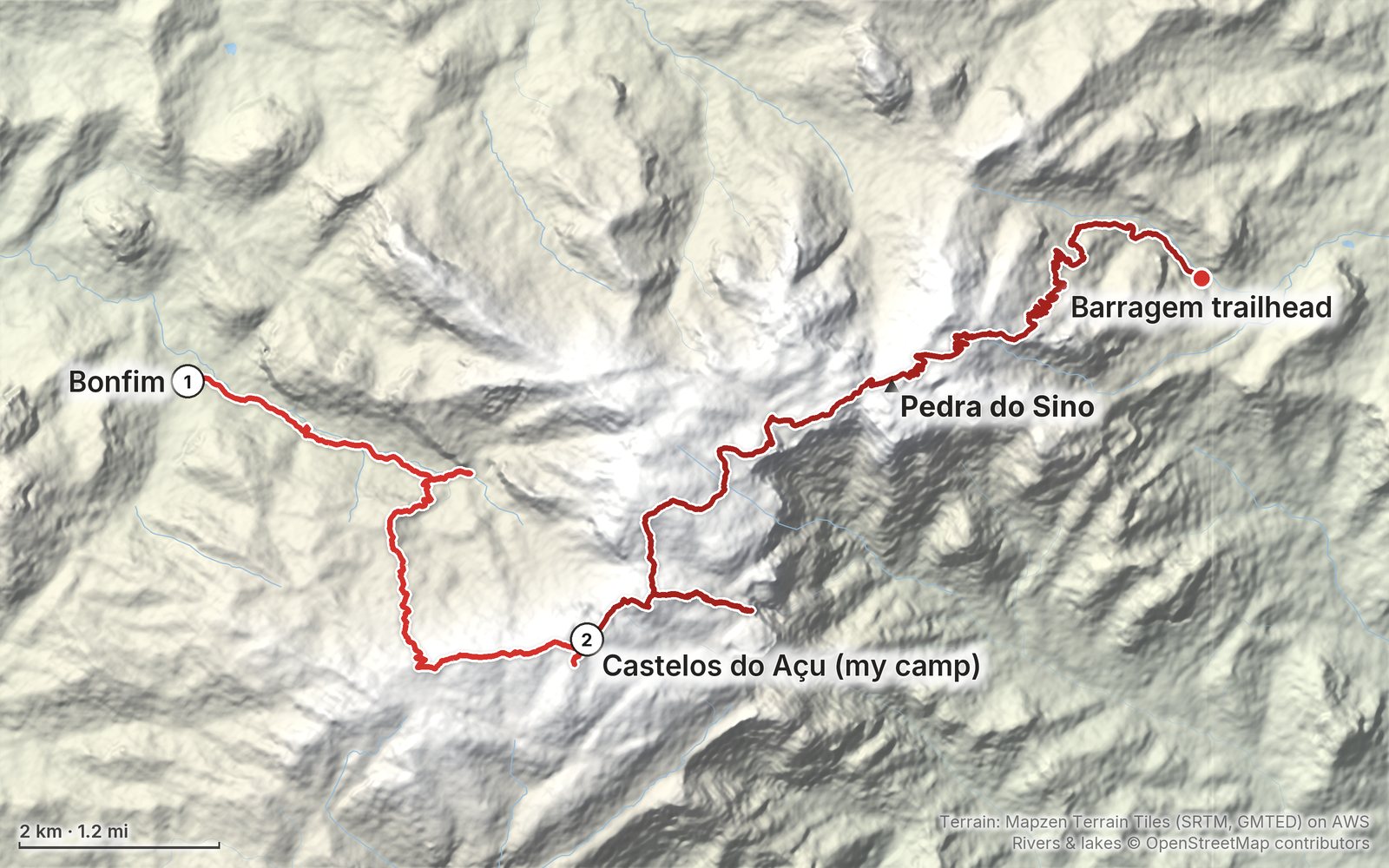
Elevation, start to finish: highest 7,240 ft (2,207 m), lowest 3,210 ft (978 m).
My GPS recording on a relief map. The numbers are where each day starts. The GPX files come with the guide.
Everything I made about it
The film

Photos
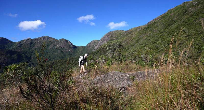
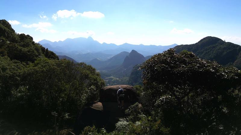
Onto the open ridge, Day 1. 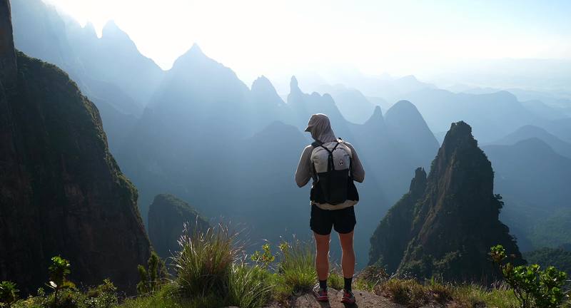
The spires in the morning haze, Day 2.
The guide · 45-page PDF + GPX files · 2027 season edition
Do it yourself
The Serra dos Órgãos traverse in Brazil, Bonfim to Teresópolis in 2 days.
- Where things stand
- Both days
- My GPX files
- Booking and rules
- Getting there
Free sample
Try Day 2 free
The whole Day 2, Castelos do Açu to Teresópolis page from the guide as a PDF, plus my camping packing list: the 42 things I carry, with a note on each. Both come by email. You'll also get my emails about new guides and trips, a few a year.
Music in this film
- Adagio No. 1Max LL · Musicbed
- By the Coast (Nocturne in F# Minor)Adam Bokesch · Musicbed
- Cloud PostcardsLuis Álvarez · Musicbed
- Hand in HandBenjamin Gustafsson · Musicbed
- Jornada (with Green Village)inola · Musicbed
- Koibumi 恋文Kyūka · Musicbed
- orange curtains in a quiet roomAdam Bokesch · Musicbed
- Seeing CygnusAdam Bokesch · Musicbed
- Skyward NightAdam Bokesch · Musicbed
- The KingdomGavin Brivik · Musicbed
- Una Sola VezMax LL · Musicbed
- Waiting For YouSarah Watson · Musicbed
What I'd take now
My current kit
The Americas and New Zealand bundle
This guide is in The Americas and New Zealand Hiking Guide Pack: 36 guides for $39. Or all 62 guides for $59.
Short answers
- Do you need a permit for the Petrópolis-Teresópolis traverse?
- For an overnight trip, yes: an online booking with ICMBio, which opens two months ahead at midnight, plus a signed risk form (the TCRN) handed in at the entrance. A day hike needs only the form. In October 2026 entry and camping were free; ICMBio plans a new operator from January 2027, which may charge fees.
- How long is the Petrópolis-Teresópolis traverse?
- ICMBio, the park service, says about 30 km. My GPS recorded 18.9 miles (30.4 km) and about 6,330 ft (1,930 m) of climbing over two days, from Bonfim above Petrópolis to the Teresópolis side. ICMBio plans and recommends three days.
- Where do you sleep on the Petrópolis-Teresópolis traverse?
- In your own tent, only at the two designated camps beside the Açu shelter (Castelos do Açu) and Abrigo 4 (Pedra do Sino). In October 2026 both shelters were closed to overnight guests; the Açu shelter has no staff or support at all, and Abrigo 4 opens only mornings and evenings for its kitchen and dining room.
- Do you need a guide for the Petrópolis-Teresópolis traverse?
- ICMBio recommends a guide but doesn't require one; without one, someone in the group must know the route. It's steep and rocky, with iron rungs and scrambles like the Cavalinho, where ICMBio says a rope is mandatory, and fog makes the route easy to lose. I hiked it alone.
- How do you get to the Petrópolis-Teresópolis traverse from Rio?
- Take a bus from Rio's Rodoviária Novo Rio to Petrópolis (about 1 hour 10 to 1 hour 20 minutes), then a city bus or taxi to the Bonfim entrance. From Teresópolis, buses run back to Rio roughly hourly, about 2 hours (as reported in 2026).
- When is the best time to hike the Petrópolis-Teresópolis traverse?
- Hikers report June to August as the driest, clearest months. I went at the end of April. The park is closed on Mondays, except holidays, and no camp can start on a Monday.
I make my guides with AI, from my own films and GPS recordings. How.