
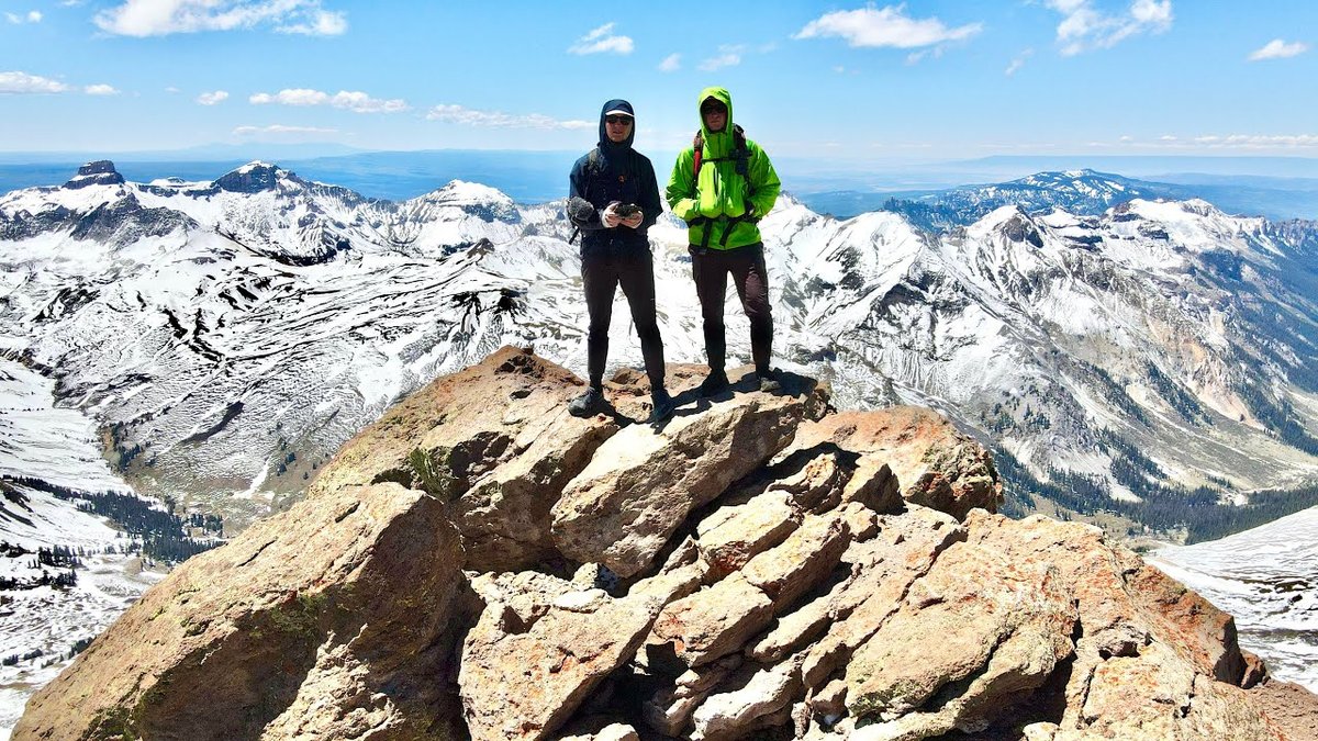
San Juan Mountains, Colorado · June 2020
San Juan Mountains
52.7 KM · 3 DAYS · 3,250 M
Uncompahgre, Wetterhorn and Handies from Lake City in 3 days.
Watch the film 16:22 · 309K viewsAt a glance
- Where
- San Juan Mountains, Colorado
- Distance
- 52.7 km (32.7 miles)
- Days
- 3: a short evening walk in, a long summit day, then a morning on Wetterhorn, the hike out and Handies in the evening
- Climbing
- About 10,650 ft (3,250 m) up and 10,570 ft (3,220 m) down, by my GPS
- Difficulty
- Uncompahgre and Handies: class 2 hiking at high altitude. Wetterhorn: a class 3 scramble with exposure and loose rock. In June, snow on all three
- Start and end
- Capitol City on Henson Creek Road
- When I went
- June 2020
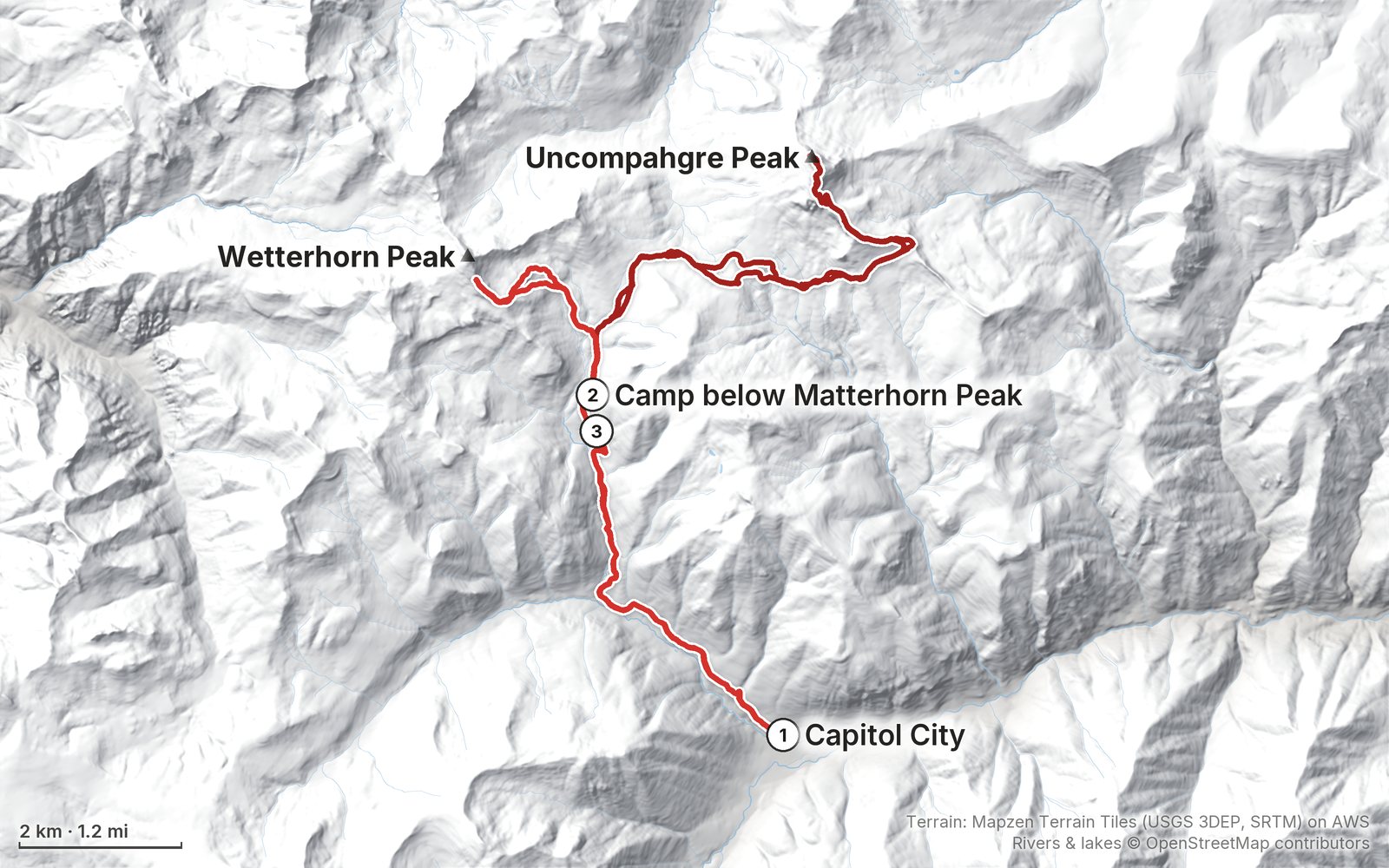
Elevation, start to finish: highest 14,310 ft (4,363 m), lowest 9,710 ft (2,960 m).
My GPS recording on a relief map. The numbers are where each day starts. The GPX files come with the guide.
Everything I made about it
The film

Photos
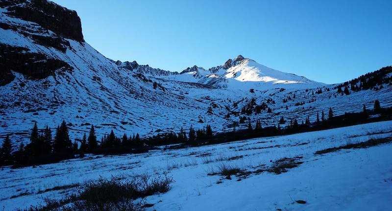
Snow in the basin below camp, Day 1 evening. 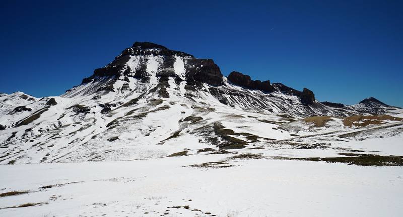
Uncompahgre Peak from the plateau, Day 2. 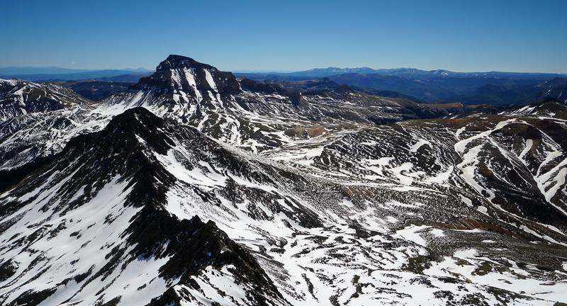
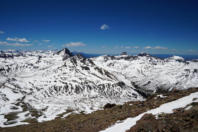
Uncompahgre Peak from high on Wetterhorn, Day 3.
The guide · 49-page PDF + GPX files · 2027 season edition
Do it yourself
Uncompahgre, Wetterhorn and Handies from Lake City in 3 days.
- Where things stand
- All three days and Handies
- My GPX files
- Getting there
- Other ways to do it
Free sample
Try Day 2 free
The whole Day 2, Uncompahgre Peak from camp page from the guide as a PDF, plus my camping packing list: the 42 things I carry, with a note on each. Both come by email. You'll also get my emails about new guides and trips, a few a year.
Gear on this trip
Paid links: I earn a commission if you buy through these links, at no extra cost to you. As an Amazon Associate I earn from qualifying purchases.
What I carried in 2020
- Sheltera green tent, a sleeping bag and a padPitched on snow.
- Snowan ice axe
- Watera squeeze filter
- Fooda stove and a potCowboy beans and brown rice.
- Lighta headlampWe came down Handies in the dark.
- Warm layersjacketsFor the wind on Handies.
- Sunsunscreen
- Navigationthe AllTrails appIt recorded every walk.
Filming kit
- Cameramy Sony camera
- Tripoda tripod
- Dronea DJI drone
What I'd take now
My current kit
- TractionYatta Life Ice Spikes
- PolesBlack Diamond Alpine Carbon Z Poles
- Rain shellArc’teryx Beta AR Jacket
- Warm layerArc’teryx Cerium Hoody
- HatPATH Projects Hoyt Merino Beanie
- GlovesUnigear Touchscreen Liner Gloves
The Americas and New Zealand bundle
This guide is in The Americas and New Zealand Hiking Guide Pack: 36 guides for $39. Or all 62 guides for $59.
Short answers
- Do you need a permit for Uncompahgre, Wetterhorn or Handies Peak?
- No. In 2026 there was no permit, quota or trailhead fee for any of the three. The Uncompahgre Wilderness order limits groups to 15 and bans campfires above tree line, and drones are prohibited in Wilderness.
- Are Uncompahgre and Wetterhorn open after the 2026 fires?
- Yes, by September 2026. The Gold Mountain and Elk fires closed much of the Uncompahgre Wilderness that summer; the Uncompahgre trail reopened July 29 and Wetterhorn August 24, and local news reported the last Elk Fire closures lifted September 15. Check the GMUG alerts page before you go.
- How long is the hike to Uncompahgre and Wetterhorn from Capitol City?
- By my GPS, 4.5 miles from Capitol City to a camp below Matterhorn Peak, 11.4 miles round trip to Uncompahgre from there, 4.5 miles toward Wetterhorn and 4.2 miles back out. With Handies, 32.7 miles and about 10,650 ft of climbing in three days.
- Do you need a 4WD for Wetterhorn and Handies?
- No. Any car can reach Capitol City in summer, where we parked and walked. Only the last 0.7 mile to the upper Matterhorn Creek trailhead needs high-clearance 4WD. For Handies, careful 2WD drivers usually reach the Silver Creek / Grizzly Gulch trailhead in summer (as reported).
- How hard is Wetterhorn Peak?
- Harder than Uncompahgre or Handies: a class 3 scramble on an exposed ridge with loose rock near the top, where a helmet makes sense. In early June we found a steep snow gully and carried an ice axe.
- When is the best time to climb the Lake City 14ers?
- July to September, when the trails are mostly dry and the roads open. Afternoon storms are almost daily from mid-July to late August, so start before dawn and be off the summits by noon. In June expect snow.
I make my guides with AI, from my own films and GPS recordings. How.