
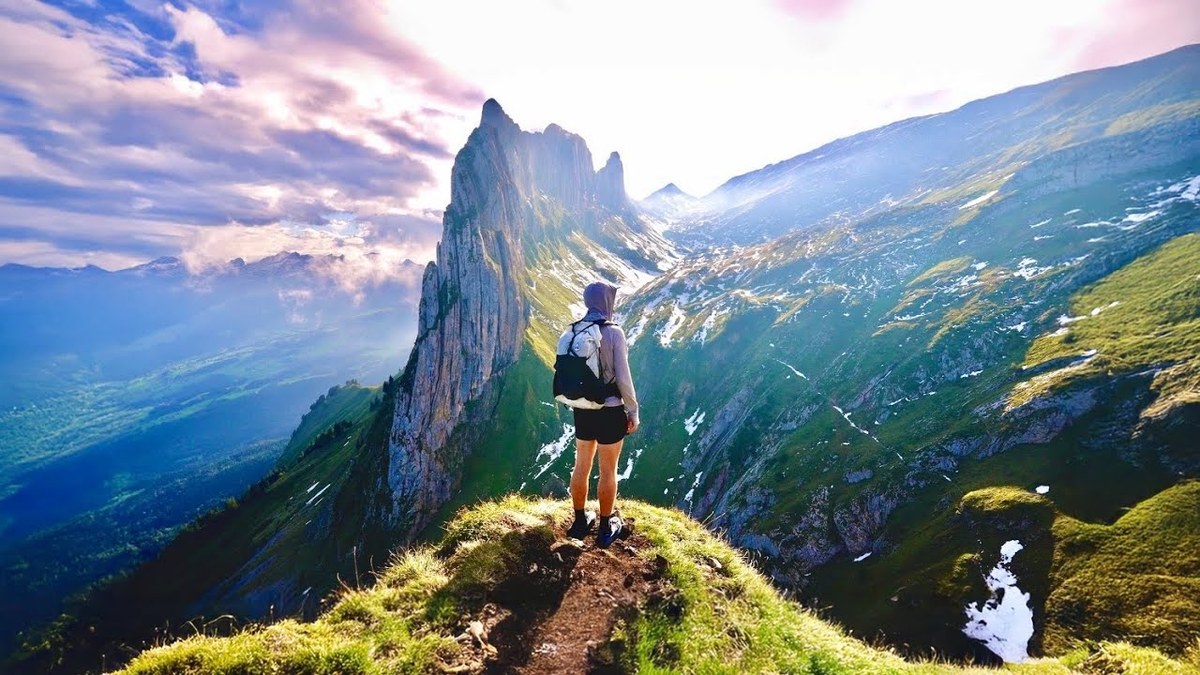
Appenzell, Switzerland · September 2024 · Solo
Alpstein and the Saxer Lücke
31.7 KM · 2 DAYS · 2,360 M
Seealpsee, Schäfler and the Alpstein in 2 days.
Watch the film 32:56 · 441K viewsAt a glance
- Where
- Appenzell, Switzerland
- Distance
- 31.7 km (19.7 miles)
- Days
- 2: 7.1 miles on Day 1, 12.6 on Day 2
- Climbing
- About 7,740 ft (2,360 m) up and 4,890 ft (1,490 m) down
- Season
- I went September 18 and 19, 2024
- Difficulty
- White-red-white mountain trails the whole way, with steep, exposed stretches secured with cables. Snow lingers into summer and can come back in September
- Route
- Wasserauen station to The Staubern cable car
- When I went
- September 2024
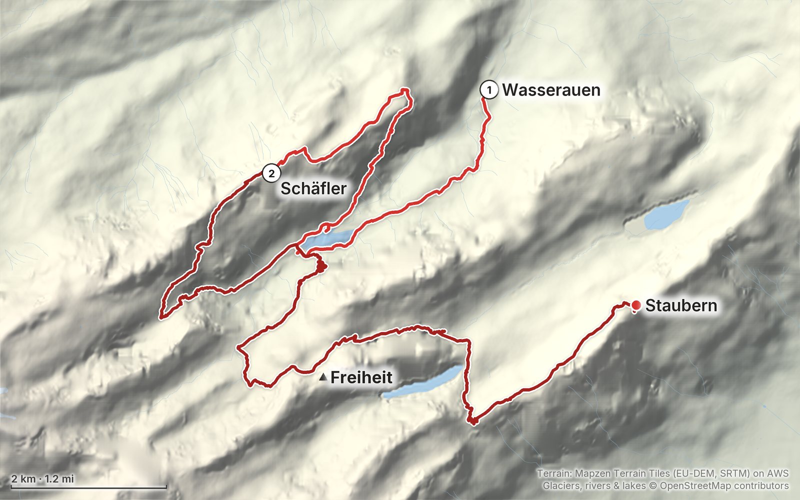
Elevation, start to finish: highest 6,190 ft (1,886 m), lowest 2,850 ft (868 m).
My GPS recording on a relief map. The numbers are where each day starts. The GPX files come with the guide.
Everything I made about it
The film

Photos
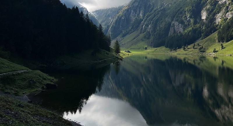
The Seealpsee on the afternoon of Day 1. 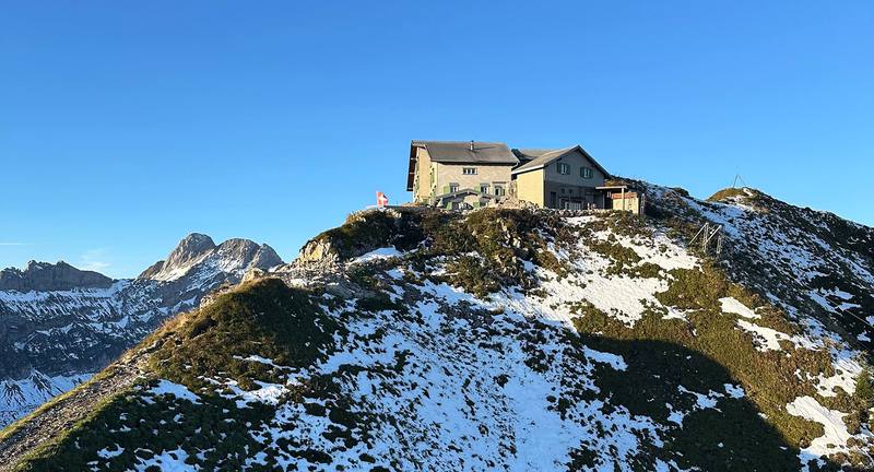
The Berggasthaus Schäfler on its ridge, the morning of Day 2.
The guide · 48-page PDF + GPX files · 2027 season edition
Do it yourself
Seealpsee, Schäfler and the Alpstein in 2 days.
- Where things stand
- Both days
- My GPX files
- The mountain inns
- Getting there and back
Free sample
Try Day 1 free
The whole Day 1, Wasserauen to Schäfler page from the guide as a PDF, plus my hut-to-hut packing list: the 35 things I carry, with a note on each. Both come by email. You'll also get my emails about new guides and trips, a few a year.
Gear on this trip
Paid links: I earn a commission if you buy through these links, at no extra cost to you. As an Amazon Associate I earn from qualifying purchases.
What I carried in 2024
- Packmy backpack
- PuffyArc’teryx Cerium HoodyIn mid-September 2024 an early storm left snow on the high trails.
- Hut shoesCrocs Classic ClogAt the Schäfler I changed into Crocs in the boot room.
- Sheltermy tent and sleeping gearFor a night out at the Saxer Lücke. I was sick, it was cold and there was snow, so I didn't use them.
- Phone dataHolafly eSIMHolafly sponsored the film.
Filming kit
- CameraSony a7S III
- LensSony FE PZ 16-35mm f/4 G
- Tripodmy tripodIt was my walking stick on Day 1.
- PhoneApple iPhone 14 Pro
Music in this film
- art parkcoldbrew · Musicbed
- Blossom (with Paul Grant)Chris Mazuera · Musicbed
- Disco on the Baltic SeaWaveshaper · Musicbed
- Fading MemoriesTony Anderson · Musicbed
- Falling/Giving InAnthony Bruno · Musicbed
- GerminalBenjamin James · Musicbed
- Know feat. Michael Lessard - InstrumentalAlaskan Tapes · Musicbed
- Little Thoughts feat. RoarySolar Submarine · Musicbed
- One Month's TimeMarkus Rutz · Musicbed
- Outer FieldsWaveshaper · Musicbed
- Slow StrutHauzet · Musicbed
- Soon feat. Michael Lessard - InstrumentalAlaskan Tapes · Musicbed
- The Moon, It Rises (Ambient Version) - InstrumentalShawn Williams · Musicbed
- Waveslwfi · Musicbed
- Where I Last Saw YouDustin Lau · Musicbed
What I'd take now
My current kit
The Alps bundle
This guide is in The Alps Hiking Guide Pack: 7 guides for $39. Or all 62 guides for $59.
Short answers
- How do you hike to the Saxer Lücke?
- The Saxer Lücke is a gap in the Alpstein ridge above the Fälensee, on the border between Appenzell Innerrhoden and St. Gallen. I reached it on the second day of a 2-day hike from Wasserauen, up from Berggasthaus Bollenwees at the east end of the Fälensee: 26 minutes and about 590 ft of climbing (the signpost says 35 minutes). From the gap a ridge trail runs northeast to Staubern, where a cable car goes down to Frümsen in the Rhine valley.
- How long is the hike from Wasserauen to the Saxer Lücke?
- My route was 19.7 miles (31.7 km) over two days, with about 7,740 ft of climbing: 7.1 miles on Day 1 from Wasserauen past the Seealpsee, the Aescher and Ebenalp to the Berggasthaus Schäfler, and 12.6 miles on Day 2 past Mesmer, the Seealpsee again and Meglisalp, over the Widderalpsattel to Bollenwees, the Saxer Lücke and Staubern.
- Is the Saxer Lücke hike open?
- Yes. In October 2026 the official Swiss closures map showed nothing on the route, and Appenzell tourism's trail report said the trails were in very good condition. A rockfall warning was posted above the Seealpsee in September 2026. Most of the mountain inns are open from May to about November 1.
- Can you camp at the Saxer Lücke?
- No. Appenzell tourism says wild camping isn't allowed in the Alpstein, the canton is drafting a law that would allow a bivouac only with the landowner's permission, and the St. Gallen side says wild camping up high isn't wanted. Sleep in one of the mountain inns, such as Bollenwees, Meglisalp or Staubern.
- How do you get back from the Saxer Lücke?
- Walk northeast along the ridge to the Berggasthaus Staubern and take the Staubern cable car down to Frümsen; in 2026 it ran daily until 10 p.m. from May to October, CHF 20 one way. Bus 411 runs hourly from Frümsen to the trains, about 1.5 hours to St. Gallen. Or walk back down to Bollenwees and on to Brülisau.
- When is the best time to hike the Alpstein?
- The high trails have their season from about the end of June to October, and the inns open from about May to early November. I went in mid-September, a few days after an early snowstorm left snow on the high passes. Summer has the most rain and thunderstorms; September and October are drier.
I make my guides with AI, from my own films and GPS recordings. How.