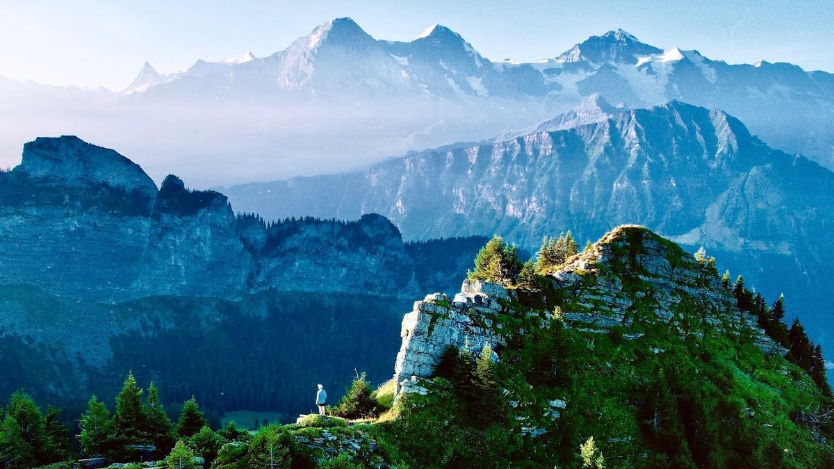
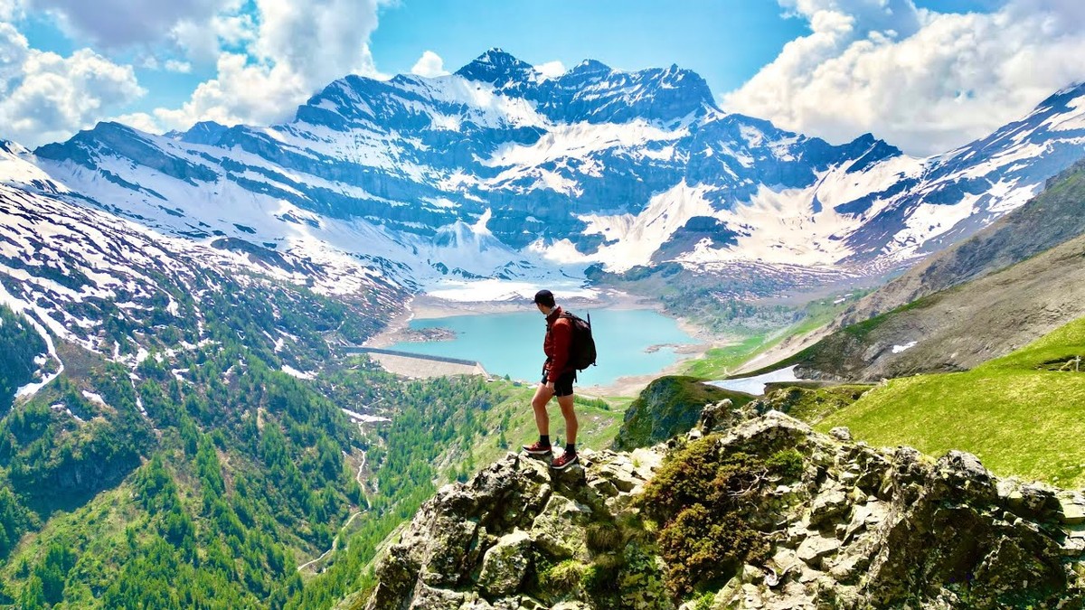
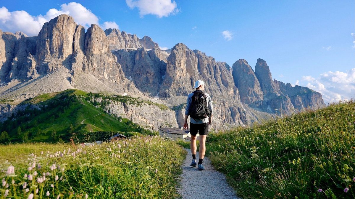
Alpstein, Switzerland · 2 days · 20 miles · Appenzell

Saxer Lücke Hiking Guide

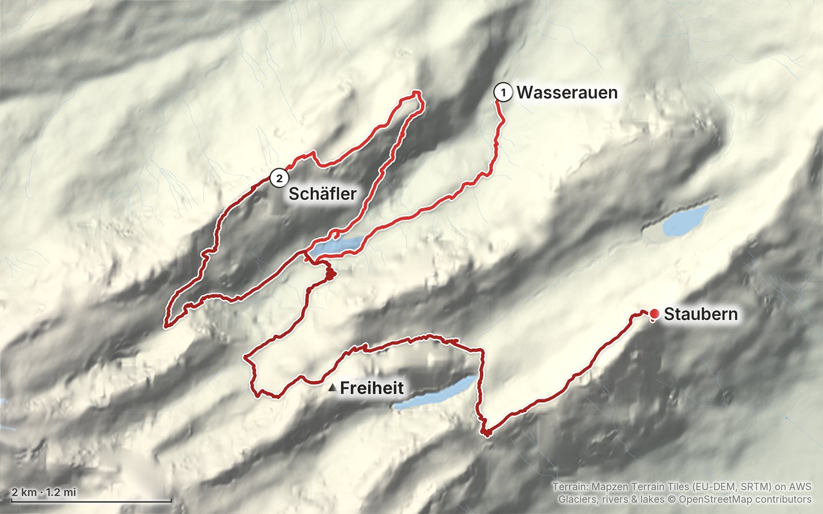
In September 2024 I hiked two days in the Alpstein in Appenzell, Switzerland: from Wasserauen up past the Seealpsee and the Aescher to a night at the Berggasthaus Schäfler, then past Mesmer and Meglisalp, over the Widderalpsattel to Bollenwees on the Fälensee, up to the Saxer Lücke and along the ridge to the Staubern cable car. It's the trip from my film Hiking to Saxer Lücke in Switzerland. This guide has my GPS files, maps and notes for both days, the mountain inns with their 2026 seasons, rest days and prices, the trains and cable cars, the snow and when to go, and what I paid.

Paying in the Facebook/Instagram app? Tap ⋯ and Open in browser to use Apple Pay or Google Pay.

$19Watch the film

Instant download: PDF + GPX files.
Not useful? Email me within 30 days for a refund.

The cover of the Saxer Lücke Hiking Guide

What's inside

Look inside

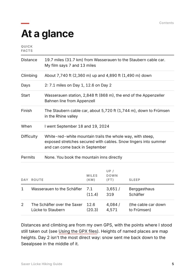
At a glance page from the Saxer Lücke Hiking Guide
At a glance
A day page page from the Saxer Lücke Hiking Guide
A day page
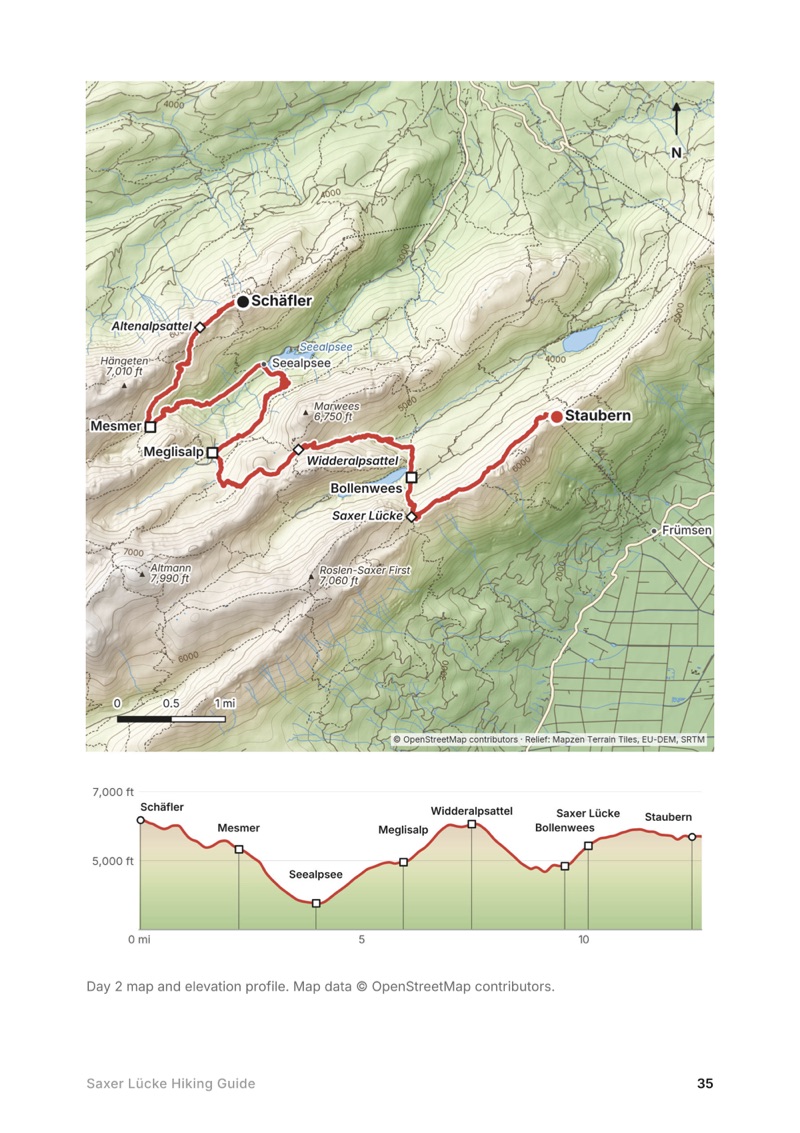
A day map and elevation profile page from the Saxer Lücke Hiking Guide
A day map and elevation profile
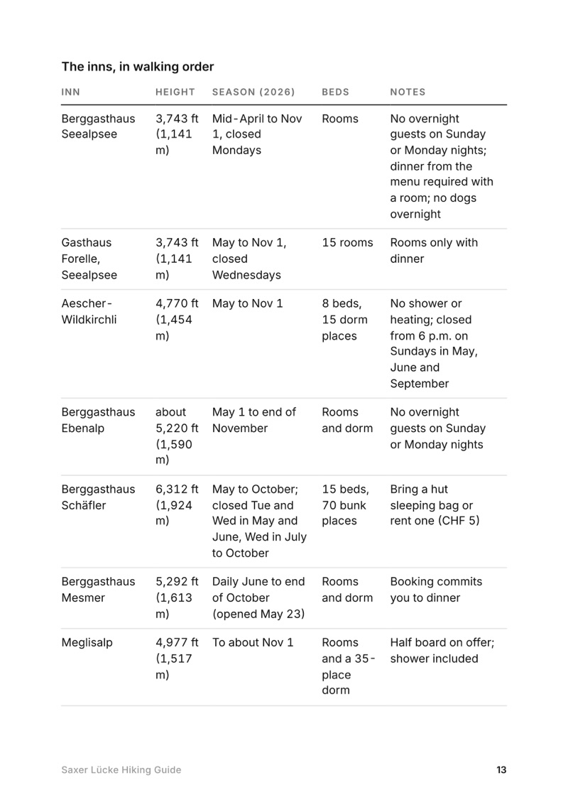
The mountain inns page from the Saxer Lücke Hiking Guide
The mountain inns

The details

Format
A 46-page PDF sized for a phone (A5, prints fine too) and a folder of GPX files, in one zip download.
Edition
2027 season edition, updated October 2026.
Delivery
Instant. After you pay you get a private download link. Bookmark it to download again on any device.
Payment
Secure checkout through Stripe, in your own currency. Tax is included in the price, except in the US and Canada, where any sales tax is added at checkout.
Refunds
Not useful? Email me within 30 days for a refund: kraig@kraigadams.com.
Questions
Email kraig@kraigadams.com.

Paying in the Facebook/Instagram app? Tap ⋯ and Open in browser to use Apple Pay or Google Pay.

$19

Questions

How do you hike to the Saxer Lücke?
The Saxer Lücke is a gap in the Alpstein ridge above the Fälensee, on the border between Appenzell Innerrhoden and St. Gallen. I reached it on the second day of a 2-day hike from Wasserauen, up from Berggasthaus Bollenwees at the east end of the Fälensee: 26 minutes and about 590 ft of climbing (the signpost says 35 minutes). From the gap a ridge trail runs northeast to Staubern, where a cable car goes down to Frümsen in the Rhine valley.
How long is the hike from Wasserauen to the Saxer Lücke?
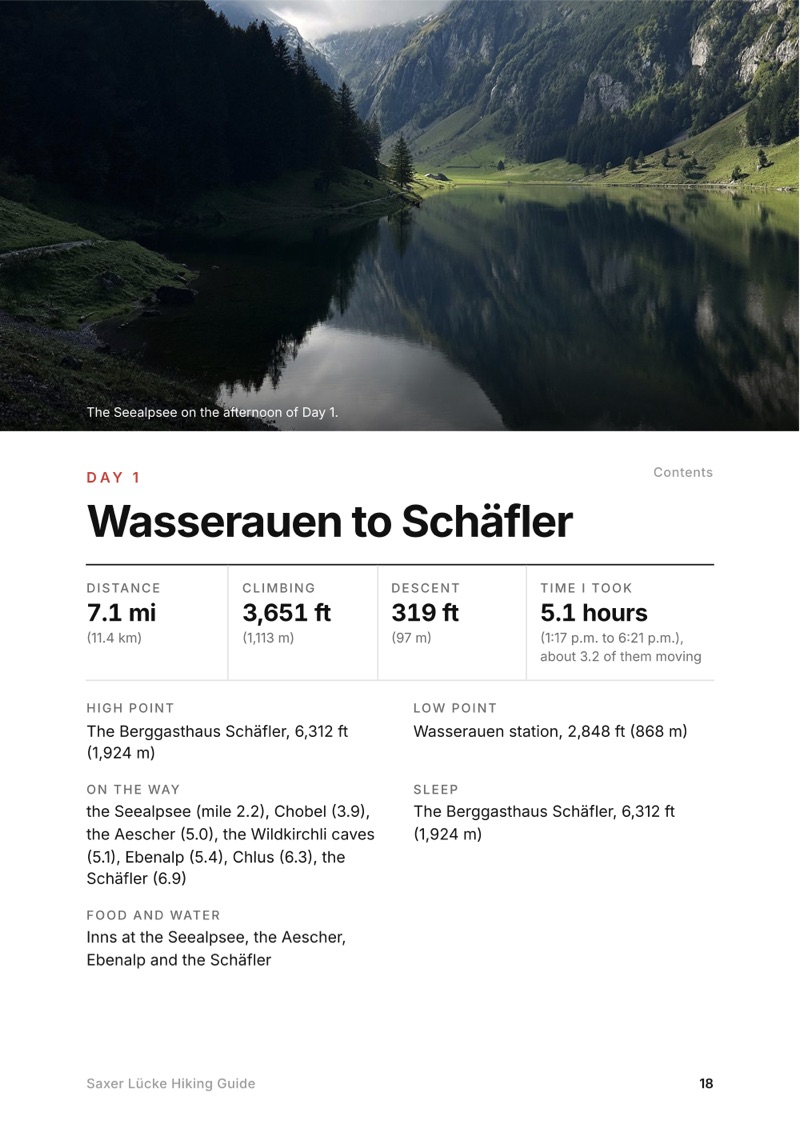
My route was 19.7 miles (31.7 km) over two days, with about 7,740 ft of climbing: 7.1 miles on Day 1 from Wasserauen past the Seealpsee, the Aescher and Ebenalp to the Berggasthaus Schäfler, and 12.6 miles on Day 2 past Mesmer, the Seealpsee again and Meglisalp, over the Widderalpsattel to Bollenwees, the Saxer Lücke and Staubern.
Is the Saxer Lücke hike open?
Yes. In October 2026 the official Swiss closures map showed nothing on the route, and Appenzell tourism's trail report said the trails were in very good condition. A rockfall warning was posted above the Seealpsee in September 2026. Most of the mountain inns are open from May to about November 1.
Can you camp at the Saxer Lücke?
No. Appenzell tourism says wild camping isn't allowed in the Alpstein, the canton is drafting a law that would allow a bivouac only with the landowner's permission, and the St. Gallen side says wild camping up high isn't wanted. Sleep in one of the mountain inns, such as Bollenwees, Meglisalp or Staubern.
How do you get back from the Saxer Lücke?
Walk northeast along the ridge to the Berggasthaus Staubern and take the Staubern cable car down to Frümsen; in 2026 it ran daily until 10 p.m. from May to October, CHF 20 one way. Bus 411 runs hourly from Frümsen to the trains, about 1.5 hours to St. Gallen. Or walk back down to Bollenwees and on to Brülisau.
When is the best time to hike the Alpstein?
The high trails have their season from about the end of June to October, and the inns open from about May to early November. I went in mid-September, a few days after an early snowstorm left snow on the high passes. Summer has the most rain and thunderstorms; September and October are drier.
More guides

All guides
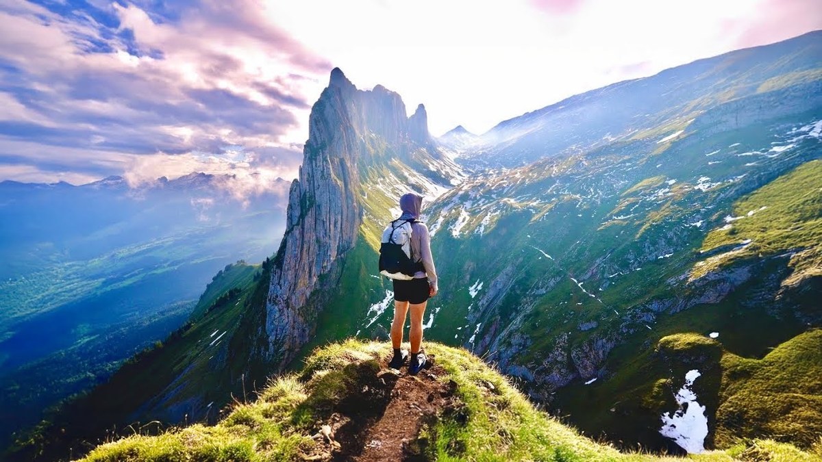
Tour of the Jungfrau Region, Bernese Oberland, Switzerland

Bernese Oberland, Switzerland

Tour of the Jungfrau Region

4 days · 64 miles · solo loop

A loop from Wilderswil over Schynige Platte, the Faulhorn, First and Grosse Scheidegg to Grindelwald, the Eiger Trail to the Lauterbrunnen valley, and Mürren back to Wilderswil.

  • All four days
  • My GPX files
  • Where to sleep
  • Trains, lifts and passes

See the guide: Tour of the Jungfrau Region · $19

Alta Via 2, Dolomites, Italy

Dolomites, Italy

Alta Via 2

5 days · about 47 miles · hut to hut

Five days on the Alta Via 2, from Alta Badia past the Marmolada to Passo Valles.

  • All five days
  • A map and elevation profile for every day
  • GPX files
  • The huts

See the guide: Alta Via 2 · $19

Get the next guide

I'm making guides for more of my hikes, and I host a group trip about once a year. Get an email when a new guide or trip is out. A few emails a year.