
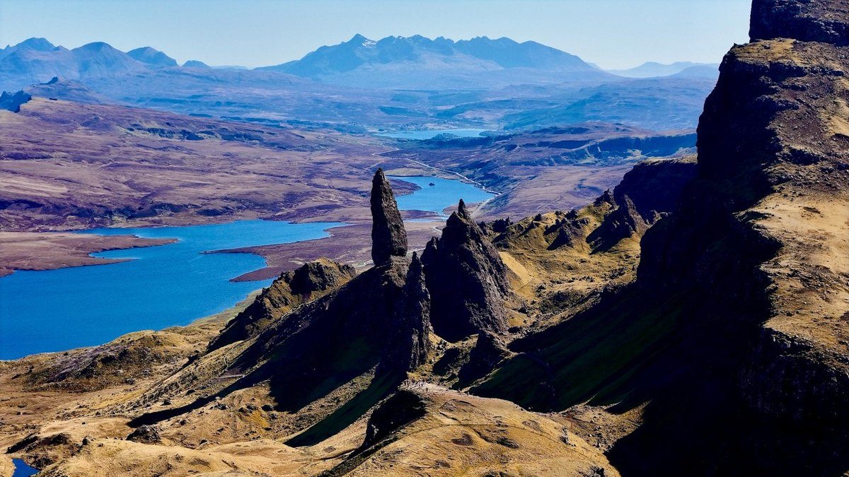
Isle of Skye, Scotland · April 2026 · Solo
Skye Trail
131.8 KM · 4 DAYS · 3,240 M
4 days along the length of Skye.
Watch the film 36:05 · 128K viewsAt a glance
- Where
- Isle of Skye, Scotland
- Distance
- 131.8 km (81.9 miles)
- Days
- 4 hiking days (the first was a half day), 3 nights wild camping
- Climbing
- About 10,600 ft (3,240 m) up and the same down
- Season
- Late April to May, before the midges (late May to early September). June to September also work, with midges
- Difficulty
- Cicerone calls it a challenging backpacking route. It has no waymarks, a long high ridge with little water, remote glens, road walking and fast-changing weather
- Route
- Shulista road end parking near Duntulm to Broadford
- When I went
- April 28 to May 1, 2026, solo
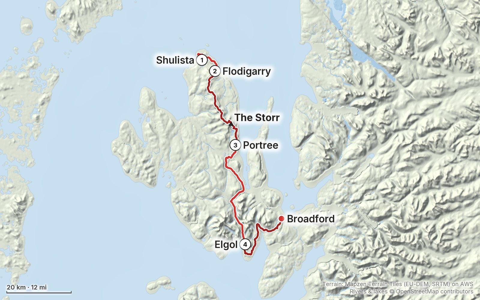
Elevation, start to finish: highest 2,110 ft (642 m), lowest sea level.
My GPS recording on a relief map. The numbers are where each day starts. The GPX files come with the guide.
Everything I made about it
The film

In the journal
Photos
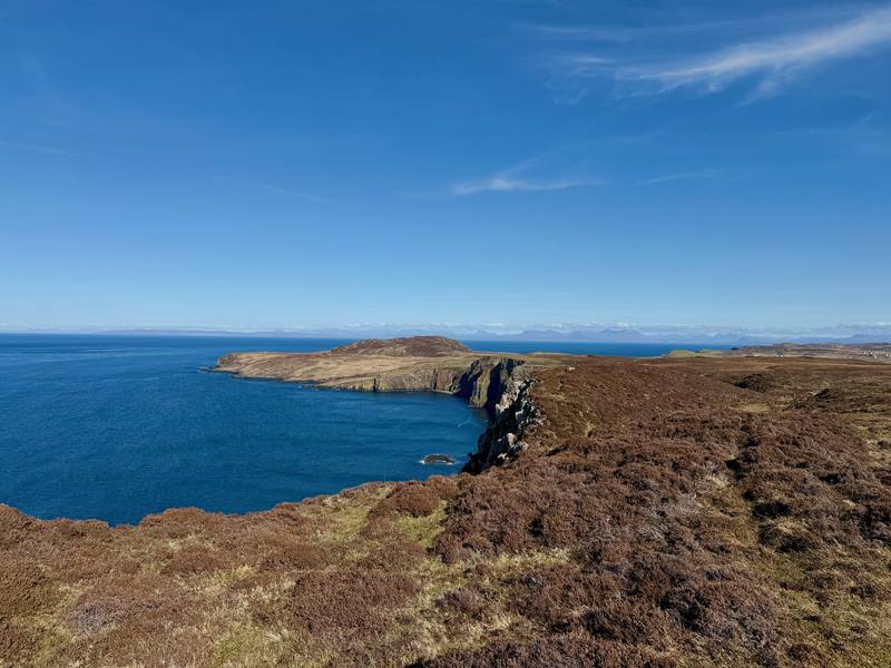
The cliffs above Rubha Hunish from near the Lookout. 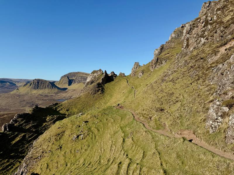
The Quiraing on the morning of Day 2. 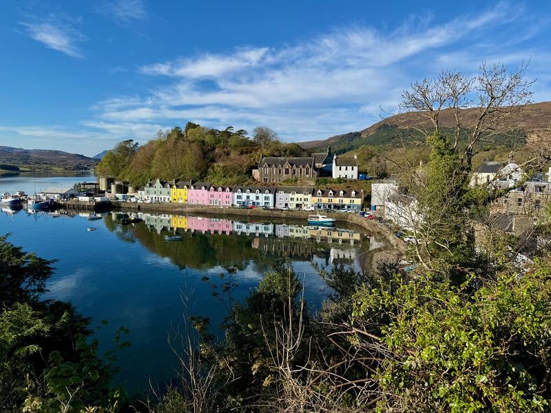
Portree harbor in the morning. 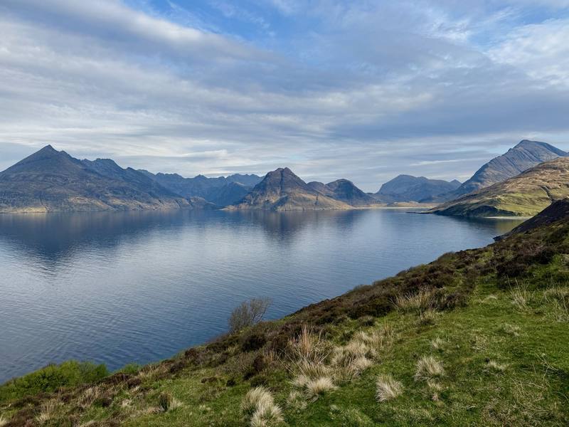
Loch Scavaig and the Cuillin on the way to Elgol.
The guide · 46-page PDF + GPX files · 2027 season edition
Do it yourself
4 days along the length of Skye.
- All four days
- My GPX files
- Wild camping, explained
- Getting there without a car
- Food and water
Free sample
Try Day 2 free
The whole Day 2, The Trotternish ridge and the Storr page from the guide as a PDF, plus my camping packing list: the 42 things I carry, with a note on each, and this route's own list on top. Both come by email. You'll also get my emails about new guides and trips, a few a year.
Music in this film
- 10-21 (In Memory of a Friendship)Alaskan Tapes · Musicbed
- A Long Line of Violet HillsAlaskan Tapes · Musicbed
- A Simple Love (with Brylom) [Ambient Version] - InstrumentalEagle Lake · Musicbed
- April Showers (feat. Quist)coldbrew · Musicbed
- Because Finally It's EverythingAlaskan Tapes · Musicbed
- Carry On feat. Emily Rowed (Stripped) - Instrumentalivywild · Musicbed
- CathedralsBlake Ewing · Musicbed
- CollectionsLuke Atencio · Musicbed
- Cyan (with Solar Submarine)CRFT · Musicbed
- Drifter (with Fourth Dogma)goosetaf · Musicbed
- For OnceAlaskan Tapes · Musicbed
- From Green Fields (Piano Only) - InstrumentalOrcrist · Musicbed
- Hours - InstrumentalAlaskan Tapes · Musicbed
- Maybe - InstrumentalAlaskan Tapes · Musicbed
- OvertureAlaskan Tapes · Musicbed
- PathsAlaskan Tapes · Musicbed
- SeenChristopher Dennis Coleman · Musicbed
- ShaharRotem Sivan · Musicbed
- Spin CycleKyle McEvoy · Musicbed
- ThirtySarah Watson · Musicbed
- Years Gone BySarah Watson · Musicbed
What I'd take now
My current kit
Europe bundle
This guide is in Europe Hiking Guide Pack: 11 guides for $39. Or all 62 guides for $59.
Short answers
- How many days does the Skye Trail take?
- I did it in four, and the first was really a half day. Most people take about a week: the Cicerone guidebook splits the Skye Trail into seven stages.
- When is the best time to hike the Skye Trail?
- Late April to May, before the midges come out from late May to early September. I went April 28 to May 1, 2026 and had dry weather, but it's usually a wet hike with rain and fog.
- Where do you sleep on the Skye Trail?
- Mostly in a tent. Scotland allows responsible wild camping under the Scottish Outdoor Access Code, and I camped three nights. There are beds in Portree, a campsite and hotel at Sligachan, more in Broadford, and two free bothies on the route.
- Can you hike the Skye Trail without a car?
- Yes. Citylink bus 917 runs from Inverness to Portree, and Stagecoach buses 57A and 57C loop around the north of Skye past the start at the Shulista road end. From Broadford, the 917 goes back to Portree and Inverness.
- Is the Skye Trail waymarked?
- No. It's an unofficial route with no signs or waymarks of its own. You follow paths, open ridge and glen, and roads, so carry GPX files, offline maps and a paper map and compass.
I make my guides with AI, from my own films and GPS recordings. How.