
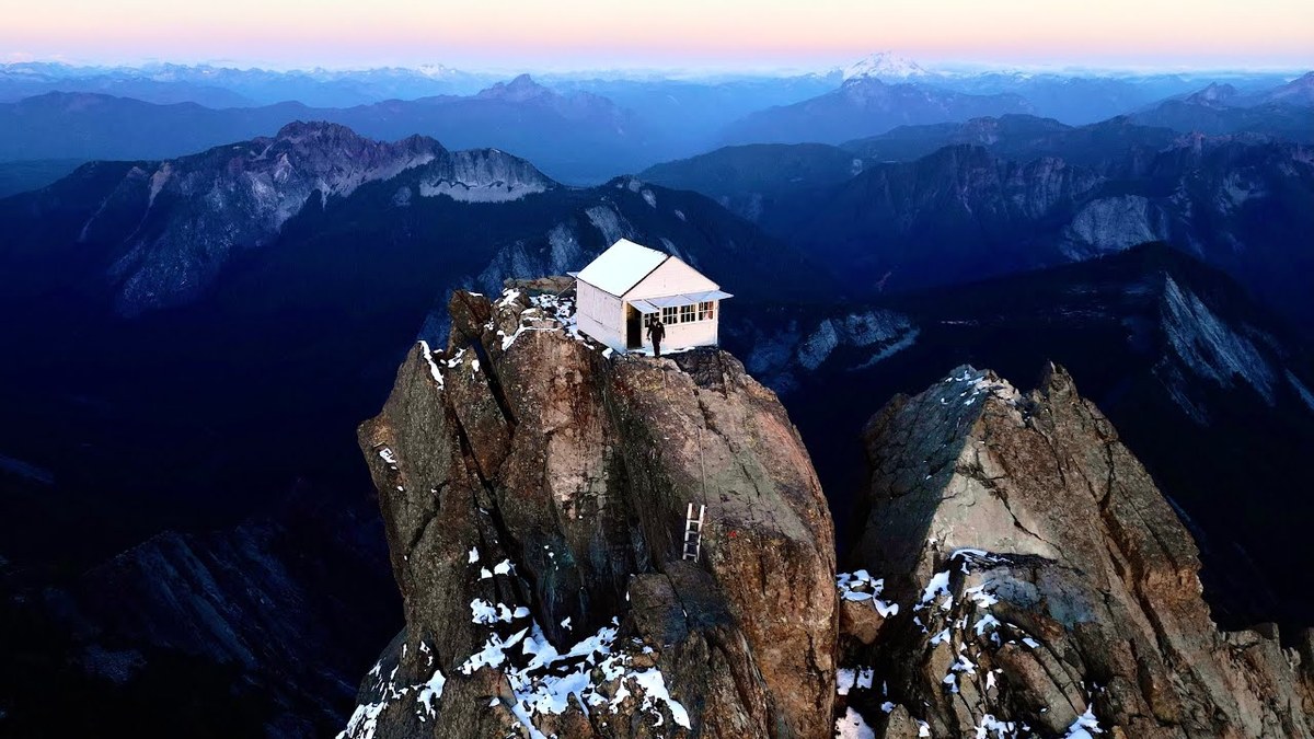
Boulder River Wilderness, Washington · October 2023 · Solo
Three Fingers Lookout
55.5 KM · 2 DAYS · 1,896 M
By bike and on foot to a fire lookout on a rock spire in 2 days.
Watch the film 9:16 · 600K viewsAt a glance
- Where
- Boulder River Wilderness, Washington
- Distance
- 55.5 km (34.5 miles)
- Days
- 2: a long day up, a morning down
- Climbing
- About 6,220 ft (1,896 m) up and 6,076 ft (1,852 m) down in all, by my GPS, almost all of it on Day 1
- Difficulty
- Hard. A long, steep day with a rough forest trail, a snowfield, exposed rock and three ladders at the top
- Start and end
- The Canyon Creek bridge on Forest Road 41
- When I went
- October 2023
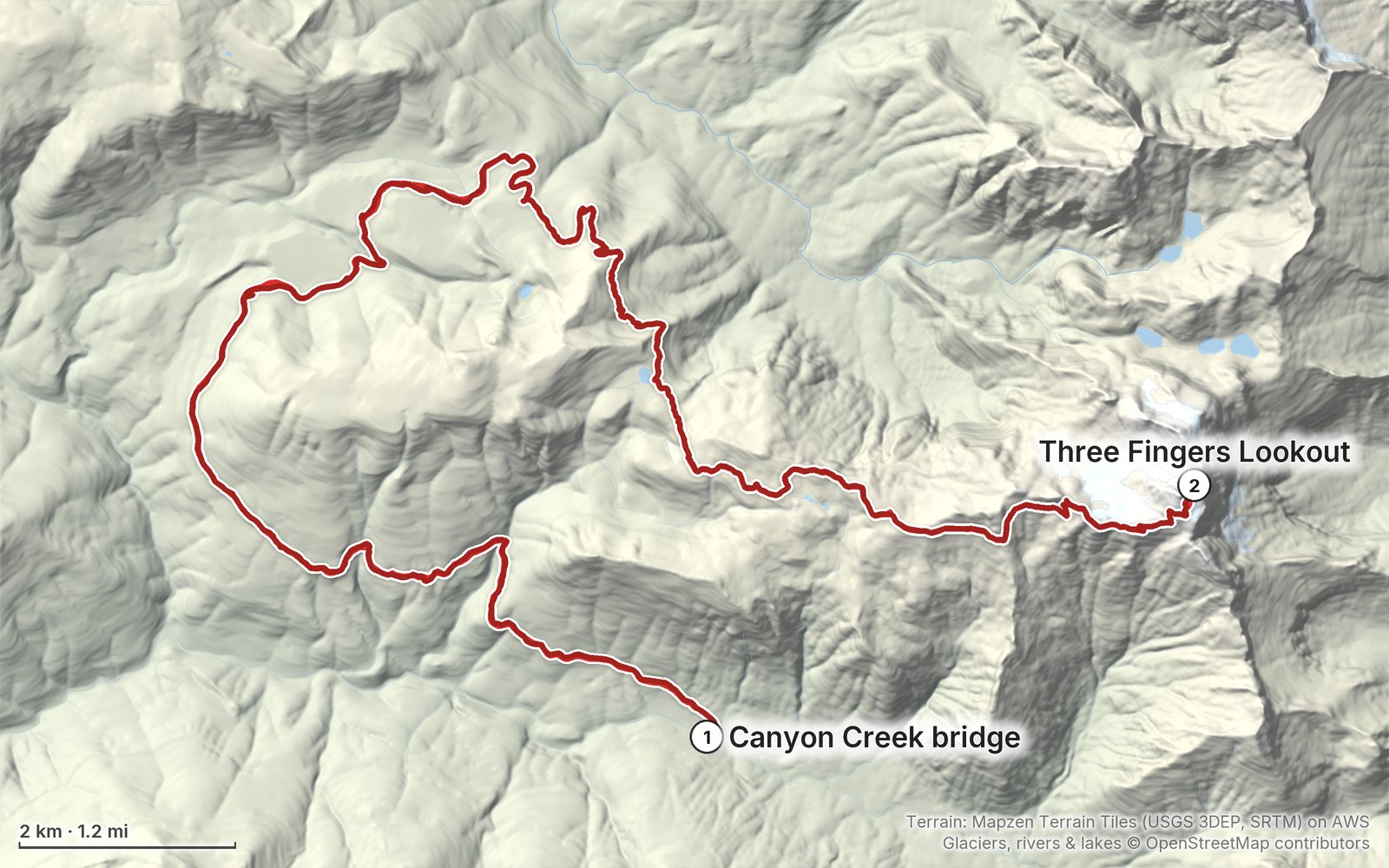
Elevation, start to finish: highest 6,850 ft (2,088 m), lowest 1,600 ft (488 m).
My GPS recording on a relief map. The numbers are where each day starts. The GPX files come with the guide.
Everything I made about it
The films
 Hiking film · 2023Hiking to the Three Fingers Fire Lookout9:16 · 600K views
 Hiking film · 2024Overnight Alone in the Three Fingers Lookout - Hiking Guide12:19 · 10K views
Photos
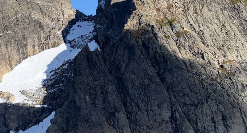
The Three Fingers and the glacier from Tin Can Gap, Day 1 at mile 16.3. 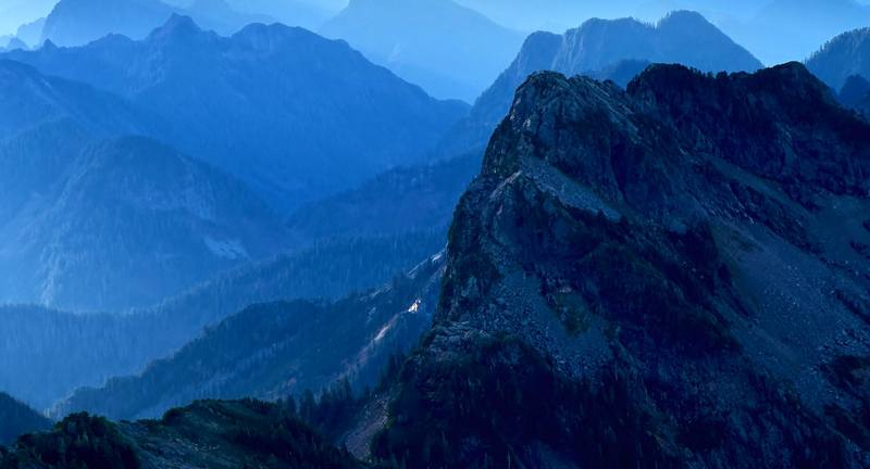
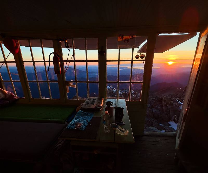
Morning from the summit ridge, Day 2 at mile 0.7.
The guide · PDF + GPX files · 2027 season edition
Do it yourself
By bike and on foot to a fire lookout on a rock spire in 2 days.
- Where things stand
- Both days
- My GPX files
- Sleeping in the lookout
- Getting there and the bike
Free sample
Try Day 1 free
The whole Day 1, The Canyon Creek bridge to the Three Fingers Lookout page from the guide as a PDF, plus my camping packing list: the 42 things I carry, with a note on each. Both come by email. You'll also get my emails about new guides and trips, a few a year.
Gear on this trip
Paid links: I earn a commission if you buy through these links, at no extra cost to you. As an Amazon Associate I earn from qualifying purchases.
What I carried in 2023
- Bikea borrowed mountain bikeHidden at the trailhead. The first time I rode a mountain bike for a hike, with a pack on my back.
- PackHyperlite Mountain Gear Southwest 2400
- Sun hoodieAmazon Essentials Quick-Dry Tech Hoodie
- ShoesSalomon SpeedcrossNo spikes or snow equipment needed in mid-October 2023.
- WaterKatadyn BeFree AC · 1LThere wasn't much water up at the lookout.
- SnacksNoka smoothie packetsThe company sent me a few packets to try, plus salt and vinegar pistachios.
- Navigationthe AllTrails appIt recorded both days.
Filming kit
- CameraSony a7S III
- LensSony FE 20-70mm f/4 G
- MicRode VideoMic GO II
- Tripoda tripod
- PhoneApple iPhone 14 Pro
Music in this films
- A Summer Coffee feat. Just DerrickLofi Sunday · Musicbed
- Fellowship feat. Cassidy GodwinLofi Sunday · Musicbed
- Hilltops feat. JK BeatbrookLofi Sunday · Musicbed
- JourneySid Acharya · Artlist
- Picture Frames and Videotapes24th and Haven · Musicbed
- pure lavEzzy · Musicbed
- The Shape of BirdsMadron · Musicbed
- The WinterSid Acharya · Artlist
What I'd take now
My current kit
- Sleeping bagHyperlite Mountain Gear 20° Mummy Bag
- Sleeping padTherm-a-Rest NeoAir XLite NXT
- TentNEMO Hornet Elite OSMO 1P
- PuffyArc’teryx Cerium Hoody
- Wind shellPATH Projects Tensor Wind Shell
- HatPATH Projects Hoyt Merino Beanie
The Americas and New Zealand bundle
This guide is in The Americas and New Zealand Hiking Guide Pack: 36 guides for $39. Or all 62 guides for $59.
Short answers
- How long is the hike to Three Fingers Lookout?
- About 34.5 miles round trip by my GPS from the Canyon Creek bridge, where cars stop on Forest Road 41: about 18 of it on the closed road, which most people bike, and about 16 on the trail. The trail alone, from the trailhead at Tupso Pass, is about 15 miles round trip with about 4,200 ft of climbing.
- Is Forest Road 41 open to Three Fingers?
- Not in late 2026: a Forest Service order closes it to everyone, walkers and bikes too, from September 29 to December 31, 2026, for a timber sale, and the Forest Service hopes to reopen it for 2027. In a normal year cars stop at the Canyon Creek bridge, about 9 miles below the trailhead, and you bike or walk the rest.
- Can you sleep in the Three Fingers Lookout?
- Yes: it's free, first come, first served, with no reservations, and holds about 8 people. It fills up even midweek in summer, so bring a tent and plan to camp at Goat Flats if it's full.
- Do you need a permit for Three Fingers Lookout?
- No permit and no parking pass. The Boulder River Wilderness rules apply: no fires from Saddle Lake up, no bikes or drones in the wilderness, groups of 12 or fewer.
- When is the best time to hike to Three Fingers Lookout?
- Late July to late September is the usual snow-light window; I went in mid-October 2023 with fall colors and only a dusting of snow. Early and late in the season expect snow and ice near the top, and bring microspikes and an ice axe.
- Is the Three Fingers Lookout hike dangerous?
- The last half mile crosses a snowfield and exposed rock and climbs three ladders to the lookout, and there have been several rescues past Tin Can Gap. Go slow, keep three points of contact, and turn back at the gap if it's late, icy or stormy.
I make my guides with AI, from my own films and GPS recordings. How.