Boulder River Wilderness · 2 days · 34.5 miles · Washington

Three Fingers Lookout Hiking Guide

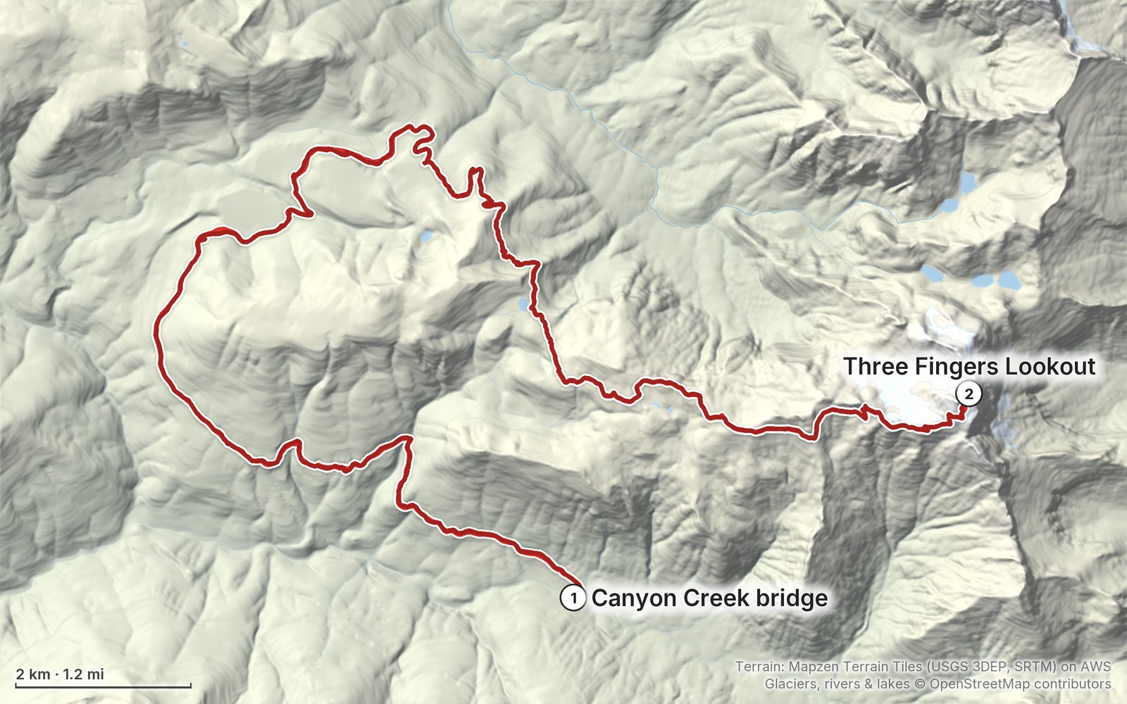
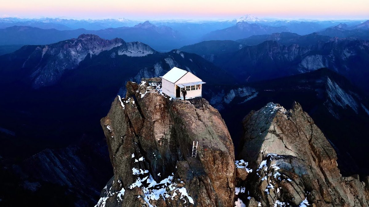
In October 2023 I rode a borrowed mountain bike up Forest Road 41 and hiked alone to the Three Fingers Lookout in Washington: about 9 miles on the bike to the trailhead, about 8.6 miles on foot by Saddle Lake, Goat Flats and Tin Can Gap, over a snowfield and up the ladders to a 1930s fire lookout on top of a rock spire, a night inside it alone, and the same way back. It's the trip from my films Hiking to the Three Fingers Fire Lookout and Overnight Alone in the Three Fingers Lookout. This guide has my GPX files, maps and notes for both days, the 2026 road closure and what's known about 2027, the rules for sleeping in the lookout, the bike, the drive from Seattle, water, the climb at the top, and a trip sheet.

Paying in the Facebook/Instagram app? Tap ⋯ and Open in browser to use Apple Pay or Google Pay.

$19Watch the film

Instant download: PDF + GPX files.
Not useful? Email me within 30 days for a refund.

The cover of the Three Fingers Lookout Hiking Guide

What's inside

Look inside

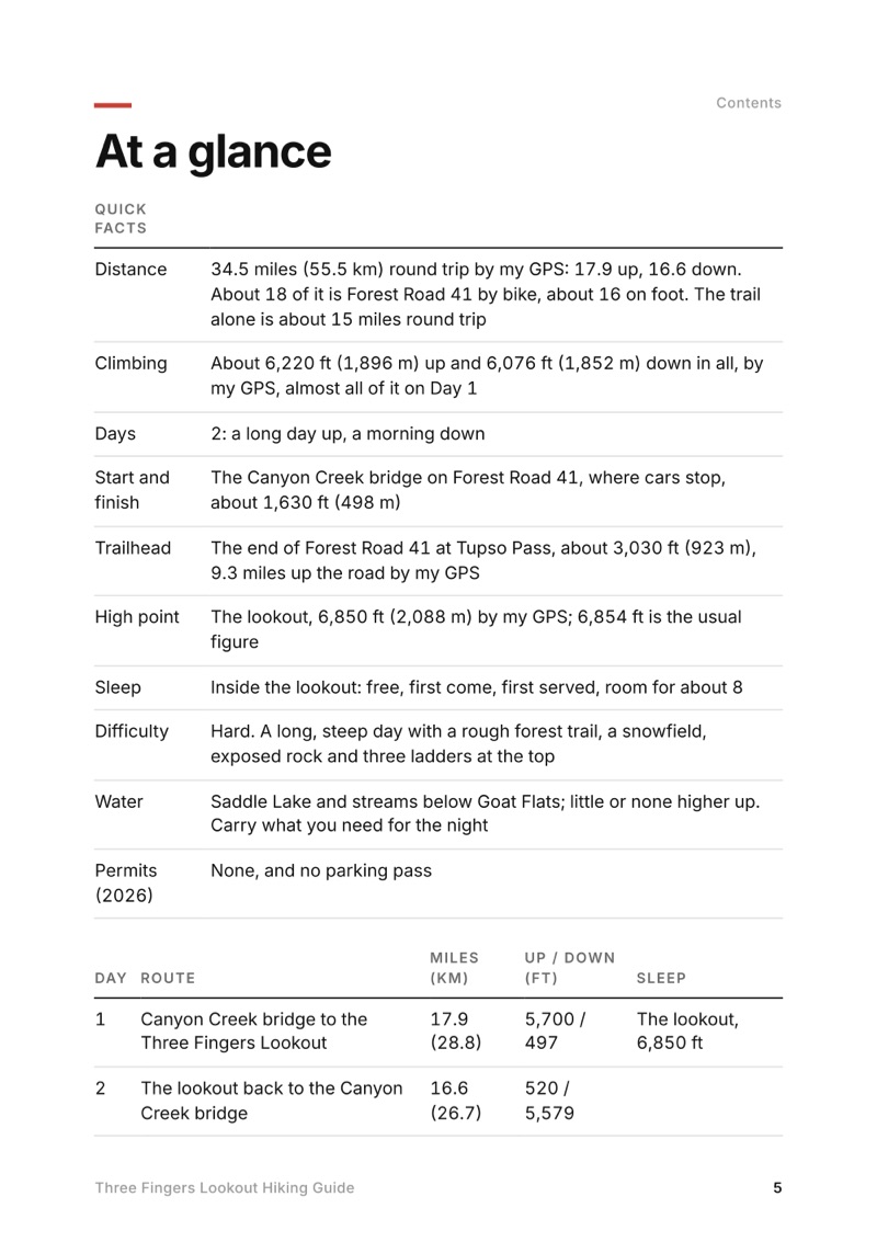
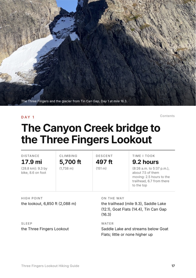
At a glance page from the Three Fingers Lookout Hiking Guide
At a glance
A day page page from the Three Fingers Lookout Hiking Guide
A day page
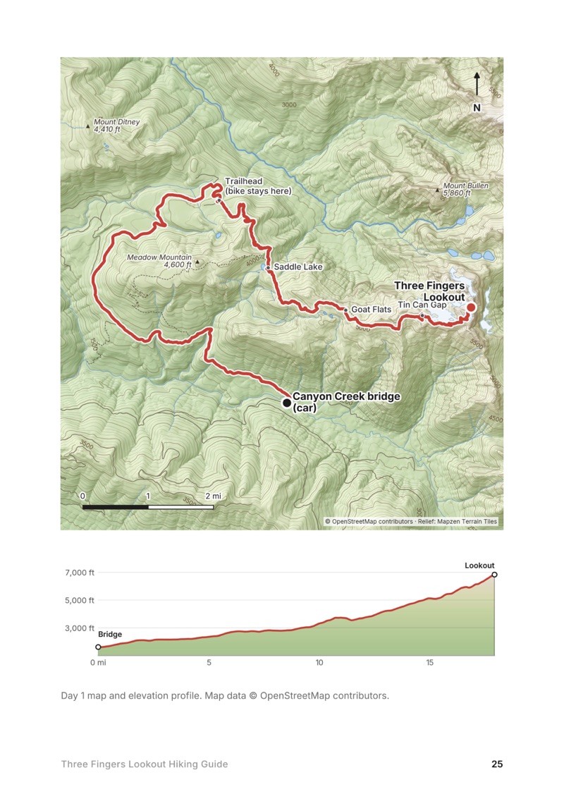
A day map and elevation profile page from the Three Fingers Lookout Hiking Guide
A day map and elevation profile
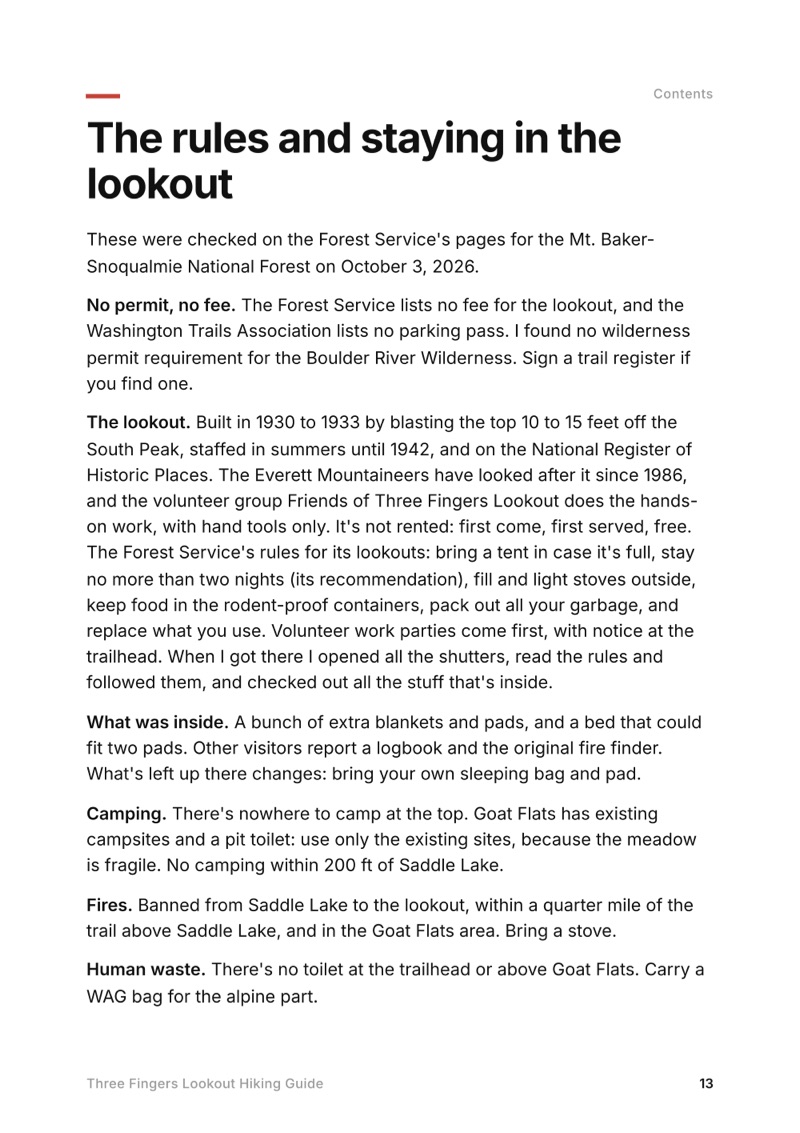
The rules and staying in the lookout page from the Three Fingers Lookout Hiking Guide
The rules and staying in the lookout

The details

Format
A PDF sized for a phone (A5, prints fine too) and a folder of GPX files, in one zip download.
Edition
2027 season edition, updated October 2026.
Delivery
Instant. After you pay you get a private download link. Bookmark it to download again on any device.
Payment
Secure checkout through Stripe, in your own currency. Tax is included in the price, except in the US and Canada, where any sales tax is added at checkout.
Refunds
Not useful? Email me within 30 days for a refund: kraig@kraigadams.com.
Questions
Email kraig@kraigadams.com.

Paying in the Facebook/Instagram app? Tap ⋯ and Open in browser to use Apple Pay or Google Pay.

$19

Questions

How long is the hike to Three Fingers Lookout?
About 34.5 miles round trip by my GPS from the Canyon Creek bridge, where cars stop on Forest Road 41: about 18 of it on the closed road, which most people bike, and about 16 on the trail. The trail alone, from the trailhead at Tupso Pass, is about 15 miles round trip with about 4,200 ft of climbing.
Is Forest Road 41 open to Three Fingers?
Not in late 2026: a Forest Service order closes it to everyone, walkers and bikes too, from September 29 to December 31, 2026, for a timber sale, and the Forest Service hopes to reopen it for 2027. In a normal year cars stop at the Canyon Creek bridge, about 9 miles below the trailhead, and you bike or walk the rest.
Can you sleep in the Three Fingers Lookout?
Yes: it's free, first come, first served, with no reservations, and holds about 8 people. It fills up even midweek in summer, so bring a tent and plan to camp at Goat Flats if it's full.
Do you need a permit for Three Fingers Lookout?
No permit and no parking pass. The Boulder River Wilderness rules apply: no fires from Saddle Lake up, no bikes or drones in the wilderness, groups of 12 or fewer.
When is the best time to hike to Three Fingers Lookout?
Late July to late September is the usual snow-light window; I went in mid-October 2023 with fall colors and only a dusting of snow. Early and late in the season expect snow and ice near the top, and bring microspikes and an ice axe.
Is the Three Fingers Lookout hike dangerous?
The last half mile crosses a snowfield and exposed rock and climbs three ladders to the lookout, and there have been several rescues past Tin Can Gap. Go slow, keep three points of contact, and turn back at the gap if it's late, icy or stormy.
More guides

All guides
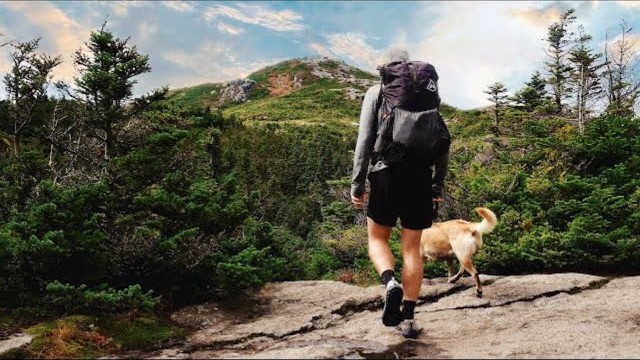
Adirondack High Peaks, High Peaks Wilderness, New York

High Peaks Wilderness, New York

Adirondack High Peaks

2 days · 18 miles · lean-to

A 2-day loop over Mount Marcy and Algonquin Peak from the Adirondak Loj in New York's High Peaks, with a night at Lake Colden, plus a 3-day traverse from Keene Valley.

  • Both days of the loop
  • My GPX files
  • My 2019 traverse
  • Permits and rules

See the guide: Adirondack High Peaks · $19

Trans-Catalina Trail, Southern California

Southern California

Trans-Catalina Trail

2 days · 42 miles · Catalina Island

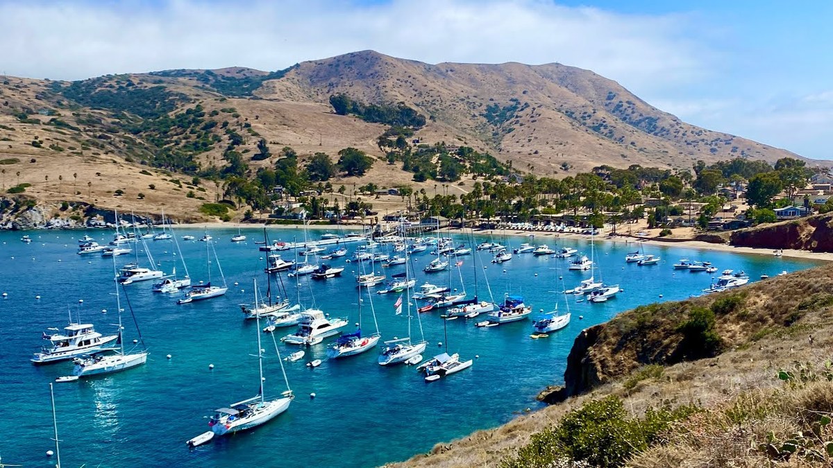
A 2-day hike across Santa Catalina Island, California, on the Trans-Catalina Trail: from Avalon to Little Harbor, then to Two Harbors by way of the Silver Peak Trail and Parsons Landing.

  • Where things stand
  • Both days
  • My GPX files
  • Permits, campgrounds and rules

See the guide: Trans-Catalina Trail · $19

Get the next guide

I'm making guides for more of my hikes, and I host a group trip about once a year. Get an email when a new guide or trip is out. A few emails a year.