
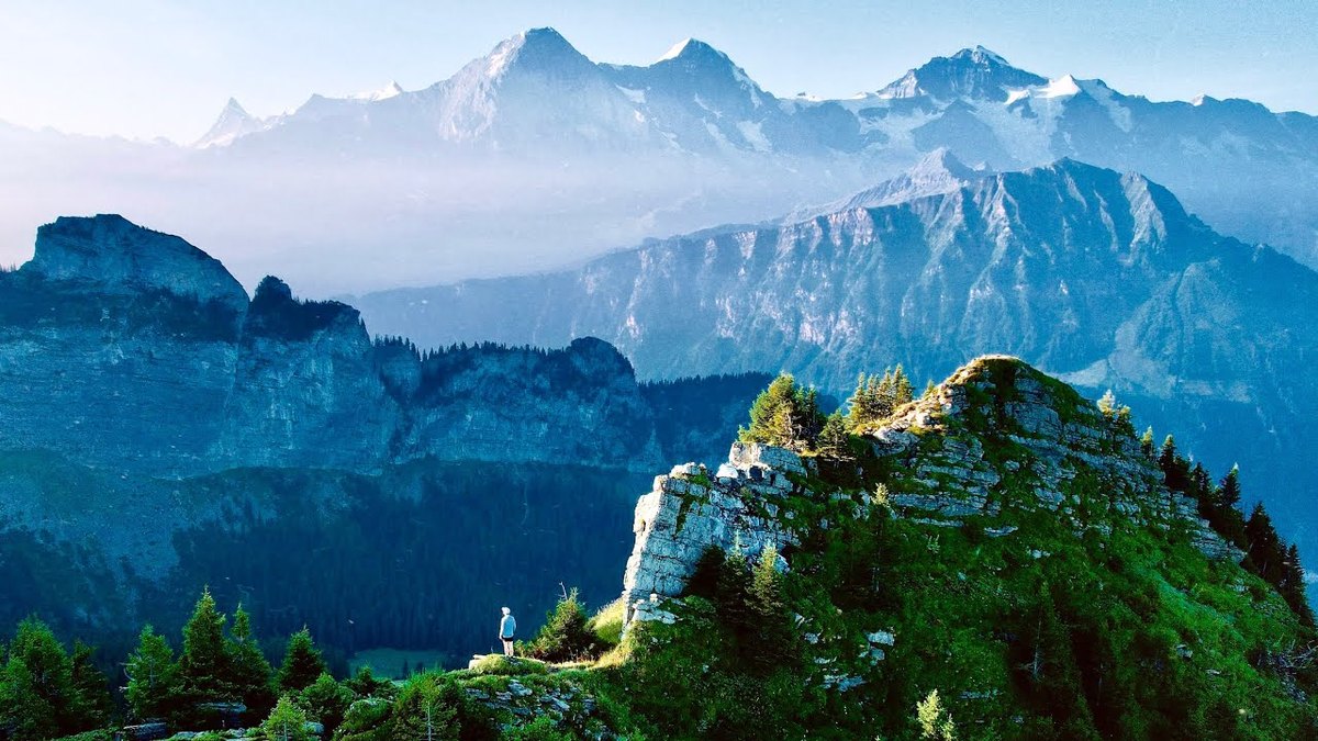
Bernese Oberland, Switzerland · July 2022 · Solo
Tour of the Jungfrau Region
103.6 KM · 4 DAYS · 5,541 M
4 days alone on a loop through the Swiss Alps.
Watch the film 36:51 · 831K viewsAt a glance
- Where
- Bernese Oberland, Switzerland
- Distance
- 103.6 km (64.4 miles)
- Days
- 4 walking days, a loop
- Climbing
- About 18,180 ft (5,541 m) up and 20,870 ft (6,361 m) down
- Season
- Summer; the high trail is usually open from mid-June
- Start and end
- Wilderswil station
- When I went
- July 23 to 26, 2022, solo
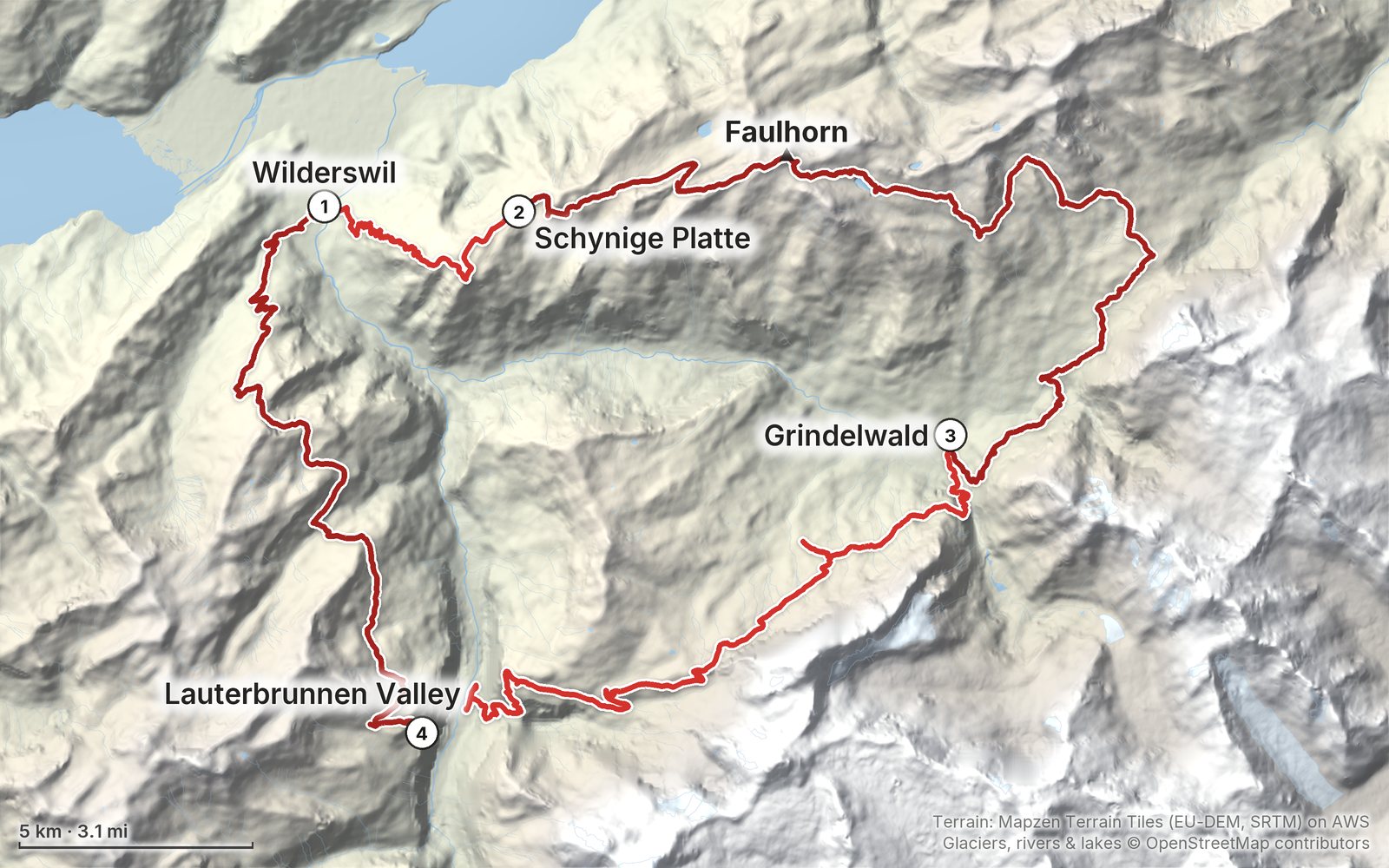
Elevation, start to finish: highest 8,760 ft (2,671 m), lowest 1,920 ft (584 m).
My GPS recording on a relief map. The numbers are where each day starts. The GPX files come with the guide.
Everything I made about it
The film

Photos
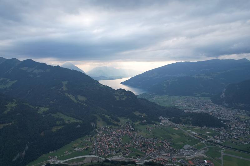
The view back over Interlaken from the climb to Schynige Platte, Day 1. 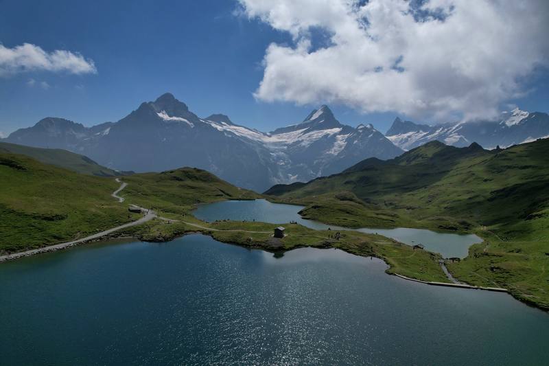
The Bachalpsee below the Faulhorn, Day 2. 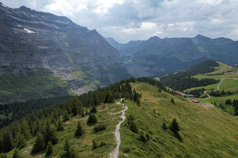
The path from Eigergletscher toward Wengernalp, with the Lauterbrunnen valley beyond, Day 3. 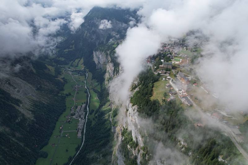
Cloud over the Lauterbrunnen valley from above Mürren, Day 4.
The guide · 47-page PDF + GPX files · 2027 season edition
Do it yourself
4 days alone on a loop through the Swiss Alps.
- All four days
- My GPX files
- Where to sleep
- Trains, lifts and passes
- Getting there
Free sample
Try Day 2 free
The whole Day 2, Schynige Platte to Grindelwald page from the guide as a PDF, plus my camping packing list: the 42 things I carry, with a note on each, and this route's own list on top. Both come by email. You'll also get my emails about new guides and trips, a few a year.
Gear on this trip
Paid links: I earn a commission if you buy through these links, at no extra cost to you. As an Amazon Associate I earn from qualifying purchases.
What I carried in 2022
- Tenta green one-person tent
- Packa hiking pack
- Shoestrail runners
- Clothesa hooded top, and an orange insulated jacket in camp
Filming kit
- CameraSony a7S III
- LensSony FE PZ 16-35mm f/4 G
- DroneDJI Air 2S
- TripodJoby GorillaPod 3K kitI bought it in Zürich on the way.
- PhoneApple iPhone 12 Pro Max
What I'd take now
My current kit
- PackHyperlite Mountain Gear Waypoint 35
- TentNEMO Hornet Elite OSMO 1P
- Sleeping-bag linerNaturehike ZY20 Sleeping Bag Liner
- Rain shellArc’teryx Beta AR Jacket
- Warm layerArc’teryx Cerium Hoody
- HatPATH Projects Hoyt Merino Beanie
The Alps bundle
This guide is in The Alps Hiking Guide Pack: 7 guides for $39. Or all 62 guides for $59.
Short answers
- How many days do you need for the Tour of the Jungfrau Region?
- I did the loop in four days in July 2022, about 64 miles. With a bed every night it's a comfortable seven, and the trains and lifts let you cut almost any day short.
- When is the best time to hike the Jungfrau Region?
- Summer. The high trail over the Faulhorn is usually open from mid-June, and July to the end of September is the easiest window. I went July 23 to 26, 2022, and there was still a patch of snow below the Faulhorn summit.
- Where do you sleep on the Tour of the Jungfrau Region?
- I camped at Camping Gletscherdorf in Grindelwald and Camping Breithorn in the Lauterbrunnen valley. There are mountain inns along the high part of the loop, like the Berghotel Faulhorn and Grosse Scheidegg. Wild camping is banned in Bönigen, Grindelwald and Lauterbrunnen.
- How do you get to the start at Wilderswil?
- Take the train to Interlaken Ost: about 1 hour 55 minutes from Zürich, or about 3 hours from Geneva, changing in Bern. From Interlaken Ost the BOB train to Wilderswil takes 5 minutes. I left my big bag in a locker at Interlaken Ost.
- Do you need to book anything?
- I didn't book anything for the hike itself. The mountain inns are small, so book those ahead in July and August. Camping Gletscherdorf takes bookings for its tent meadow online.
I make my guides with AI, from my own films and GPS recordings. How.