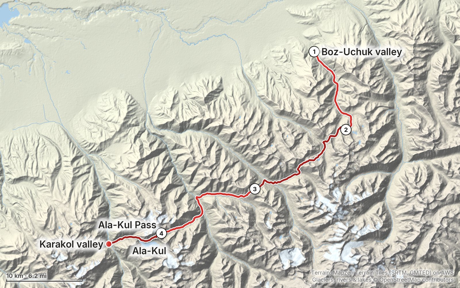
My GPS recording of 4 days on a relief map. The numbers are where each day starts; the red dot is the finish. The full GPX files and the day maps come with the guide.
Day 1Day 2Day 3Day 4Highest 12,810 ft (3,906 m)
Elevation, start to finish: highest 12,810 ft (3,906 m), lowest 7,080 ft (2,157 m).
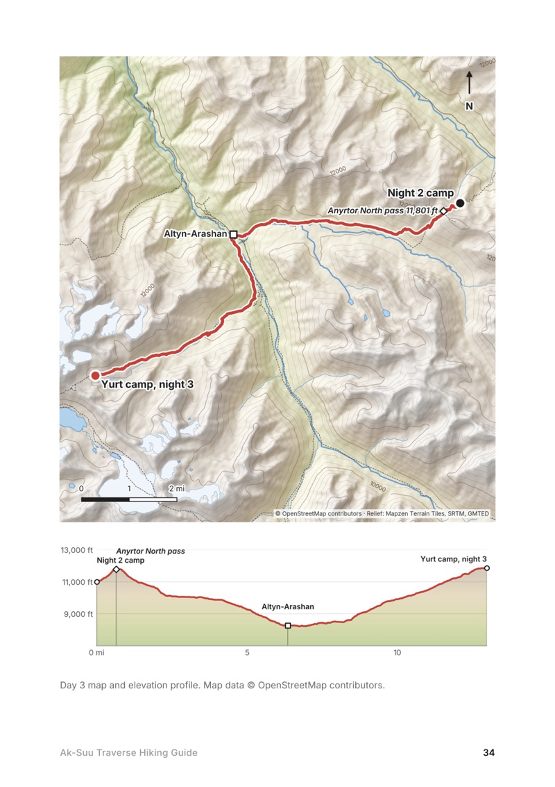
All four days. Stats, my notes, the trail mile by mile, where to get off, links to that day in my films, and a map with an elevation profile.
Straight answers. Days, when to go, how hard it is, permits and fees, wild camping, signal, water, resupply and cash.
Getting there and back. How I got from Bishkek to Karakol and the start, the jeep out of the Karakol valley, and the flight, minibus and 4x4 options.
Passes, streams and camps. Every pass with its height and what I found in June, where the bridges are, and where I camped.
Yurt camps and villages. Each place with people on the route, in order, with what I found there.
What I paid and what I carried. My costs from the trip with 2025 and 2026 local prices, and my full kit and food list.
GPX files. My four GPS recordings and the full route with waypoints, ready for AllTrails, Gaia GPS, Garmin or Organic Maps.
Before you go and a trip sheet. One page of the things that change each year, and a one-page summary to print or screenshot.
About this trip
In June 2025 I hiked the Ak-Suu Traverse alone near Karakol, Kyrgyzstan: four days over big passes, past seasonal yurt camps, and over the Ala-Kul pass to the Karakol valley. It was my first time in Central Asia. This guide has my exact route and GPS files, how I set up drivers and cash, where the yurt camps and bridges are, and what I learned.
Paid links: I earn a commission if you buy through these links, at no extra cost to you. As an Amazon Associate I earn from qualifying purchases.
For four days I carried everything I needed and slept in my tent. Here's what I carried in June 2025, what I'd take now (starting with what I regretted leaving behind), and what I filmed with.
What I carried in 2025
My gear changes over time, and I've since stopped using the tent.
TentHyperlite Mountain Gear Mid 1HyperliteIt was the first time I used it and, I believe, the last. I didn't like the size, how long it took to set up, or that the half where my bag goes was bare ground and got muddy. I'm back to my Nemo Hornet.
Big duffelPatagonia Black Hole Wheeled Duffel · 100LI left it at my Karakol hotel.
What I'd take now
What I'd change for this route, from my current kit.
Camp shoesCrocs Classic ClogAmazonI didn't bring my Crocs and I really regretted it. They're light, good for water crossings and so nice at camp after hiking all day.
TentNEMO Hornet Elite OSMO 1PAmazonThe tent I'm back to. Bring one that handles rain and wind: it rained every day or night for me.
NavigationAllTrails+AllTrails · 30% offImport my GPX files and download them offline. There's no phone signal on most of the route. Offline maps need the paid plan.
Phone dataAiralo eSIMAiralo · $3 offData in Bishkek and Karakol.
Filming kit
What I filmed this trip with in 2025. My setup is smaller now (below).
CameraSony ZV-E1AmazonWith four batteries, about one a day.
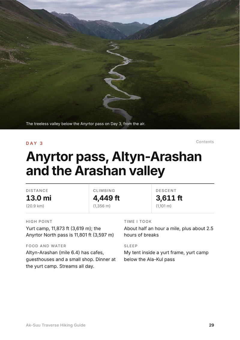
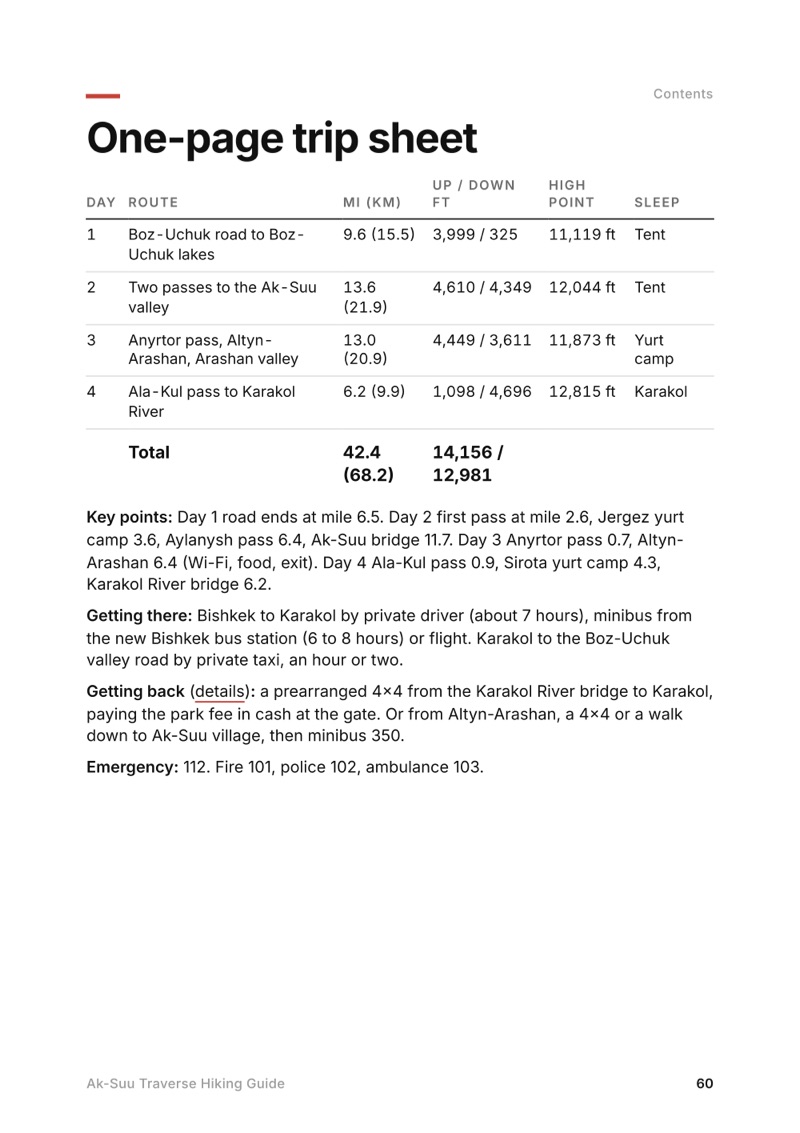
Anyrtor pass, Altyn-Arashan and the Arashan valley
The whole day page from the guide as a PDF, plus my camping packing list: the 42 things I carry, with a note on each, and this route's own list on top. The PDF opens right away and both come by email.
You'll also get my emails about new guides and trips, a few a year.
The details
Format
A 61-page PDF sized for a phone (A5, prints fine too) and a folder of GPX files, in one zip download.
Edition
2027 season edition, updated September 2026.
Delivery
Instant. After you pay you get a private download link. Bookmark it to download again on any device.
Payment
Secure checkout through Stripe, in your own currency. Tax is included in the price, except in the US and Canada, where any sales tax is added at checkout.
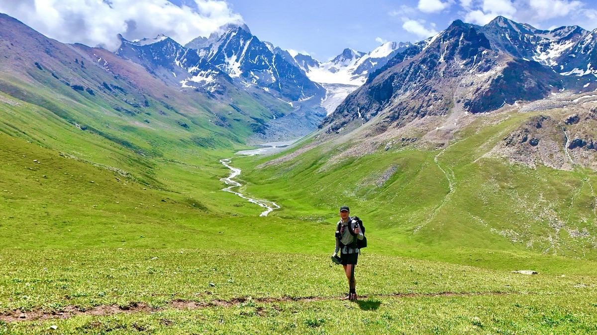
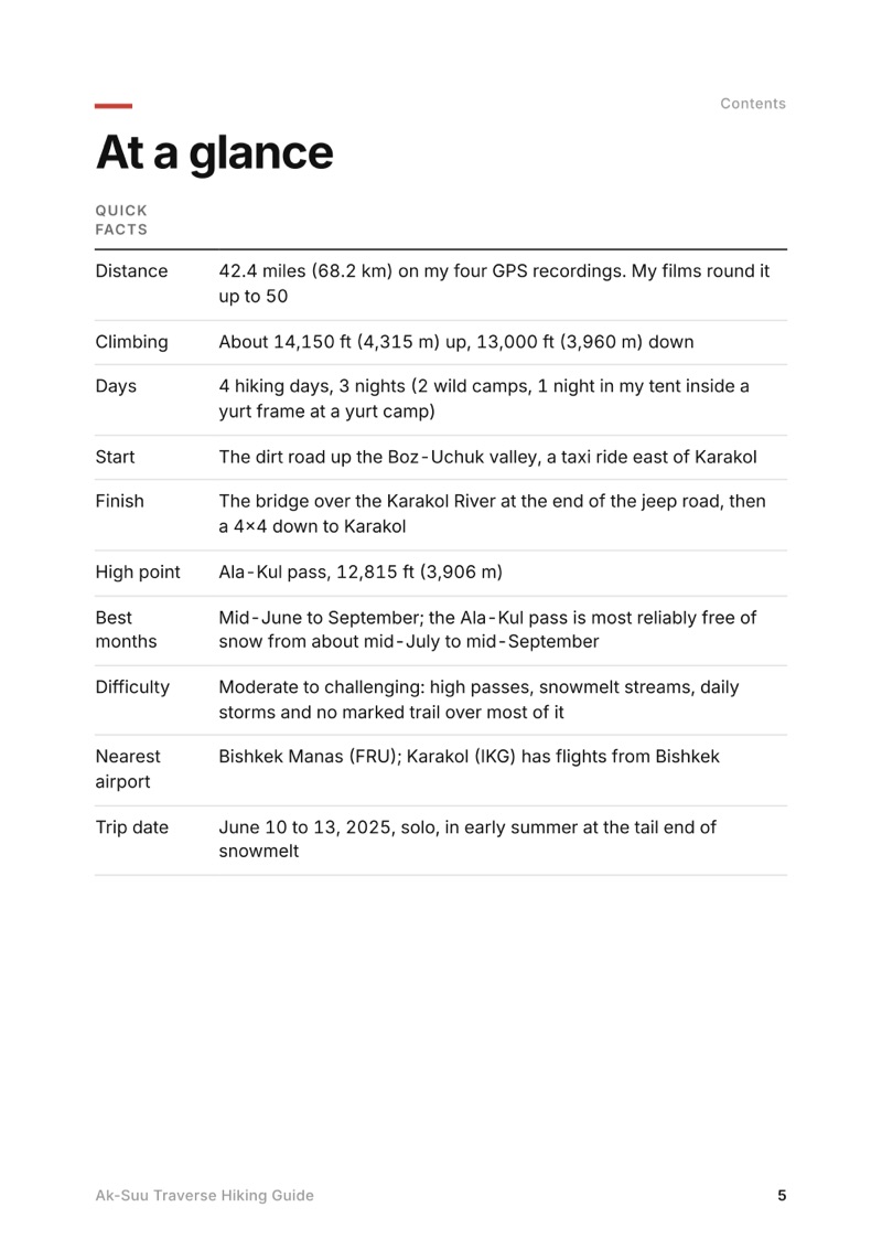
I walked it in 4 days with 3 nights out, 42.4 miles on my GPS. My whole trip, from landing in Bishkek to leaving Karakol, took a week.
When is the best time to hike the Ak-Suu Traverse?
Local operators run this area from about mid-June to September, and the Ala-Kul pass is most reliably free of snow from about mid-July to mid-September. I went June 10 to 13, 2025, when every pass still had snow.
Where do you sleep on the Ak-Suu Traverse?
I carried a tent and wild camped two nights next to water. On the third night I pitched my tent inside a yurt frame at a yurt camp. Most yurt camps I passed would feed you and give you a bed for cash.
Do I need a permit for the Ak-Suu Traverse?
No trekking or border permit is needed for these valleys. Foreigners pay a Karakol National Park entry fee, 250 som per person according to local sources in 2025 and 2026, plus a small tent fee if you camp in the park.
How do you get to the start of the Ak-Suu Traverse?
Get to Karakol from Bishkek by private driver (about $75 for me), minibus or flight. There's no public transport up the Boz-Uchuk valley road, so take a private taxi or 4x4. At the end, a jeep took me out of the Karakol valley for $100.
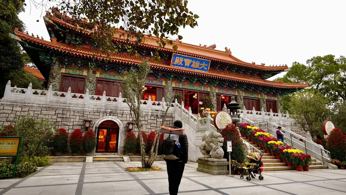
A 4-day hike on the Lantau Trail in Hong Kong, Sections 1 to 8: Mui Wo over Sunset Peak and Lantau Peak to Ngong Ping, then Tai O and the west coast to Shek Pik.