
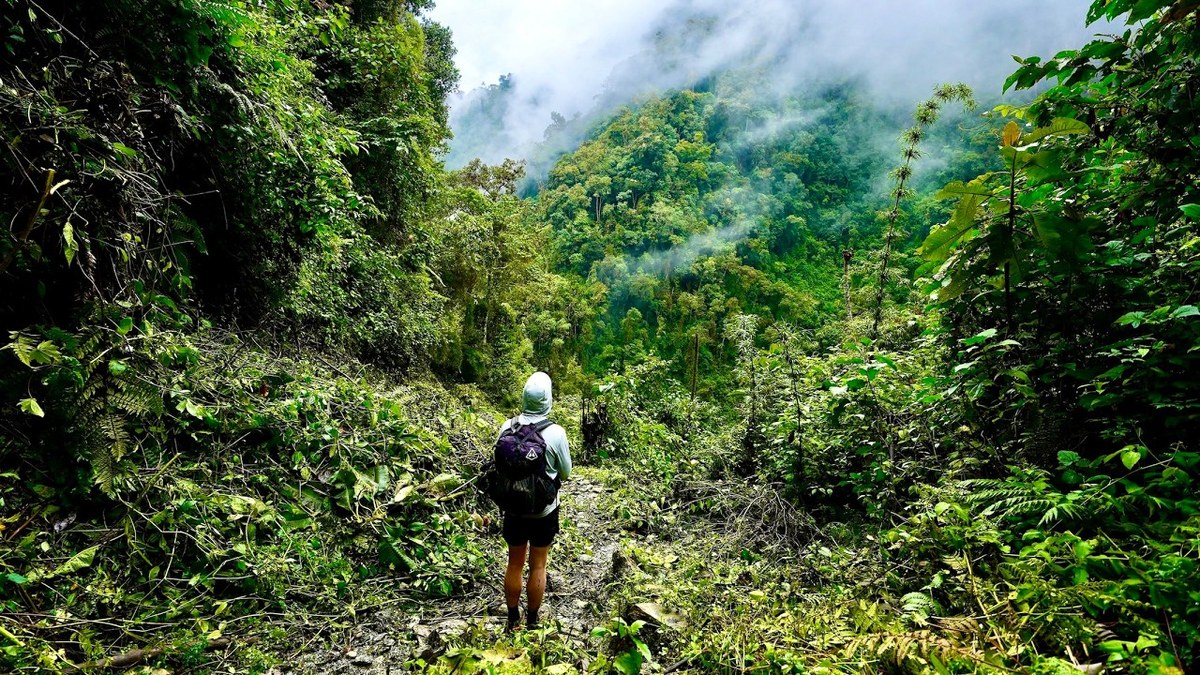
Cordillera Central, Colombia · March 2021 · Solo
Los Nevados
60.9 KM · 3 DAYS · 3,800 M
Valle de Cocora to Juntas across the paramo in 3 days.
Watch the film 27:47 · 741K viewsAt a glance
- Where
- Cordillera Central, Colombia
- Distance
- 60.9 km (37.8 miles)
- Days
- 3, all long: 8.5 to 10 hours each
- Climbing
- About 12,500 ft (3,800 m) up and 14,300 ft (4,360 m) down, by my GPS
- Difficulty
- Hard: long days, deep mud, altitude, cold rain and fog, and no marked route on parts of the paramo
- Route
- The Valle de Cocora to Juntas
- When I went
- March 2021
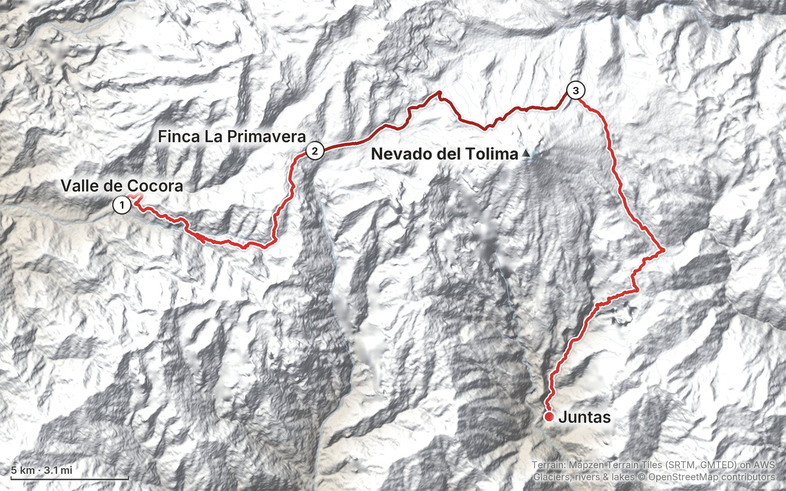
Elevation, start to finish: highest 14,550 ft (4,435 m), lowest 6,200 ft (1,891 m).
My GPS recording on a relief map. The numbers are where each day starts. The GPX files come with the guide.
Everything I made about it
The film

Photos
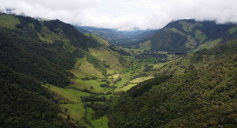
The Valle de Cocora, Day 1 near the start. 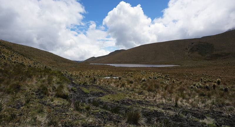
A lake in the paramo, Day 2. 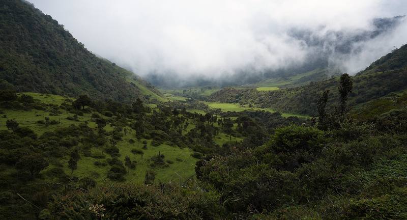
The valley toward Juntas, Day 3.
The guide · PDF + GPX files · 2027 season edition
Do it yourself
Valle de Cocora to Juntas across the paramo in 3 days.
- Where things stand
- All three days
- My GPX files
- The rules, the guide and the camps
- Getting there
Free sample
Try Day 1 free
The whole Day 1, Valle de Cocora to Finca La Primavera page from the guide as a PDF, plus my camping packing list: the 42 things I carry, with a note on each. Both come by email. You'll also get my emails about new guides and trips, a few a year.
Gear on this trip
Paid links: I earn a commission if you buy through these links, at no extra cost to you. As an Amazon Associate I earn from qualifying purchases.
What I carried in 2021
- Packa hiking backpackWith a water bottle and my umbrella in the side pocket.
- Sheltera small green tent, a sleeping bag and a padFor Termales del Cañón.
- Raina large umbrellaI used it on all three days.
- Footweartrail runnersThey were full of mud by the end of each day.
- Lighta headlampI arrived at La Primavera after dark.
- Foodsnacks and a meal shakeBetween the farms.
- Navigationthe AllTrails appIt recorded all three days.
Filming kit
- CameraSony a7S III
- LensSony FE 12-24mm f/2.8 GM
- DroneDJI Mini 2No longer made.
- Tripoda tripod
- PhoneApple iPhone 12 Pro MaxFor photos and the AllTrails recording.
What I'd take now
My current kit
The Americas and New Zealand bundle
This guide is in The Americas and New Zealand Hiking Guide Pack: 36 guides for $39. Or all 62 guides for $59.
Short answers
- Can you hike Los Nevados without a guide?
- Not anymore. Since 2026 Parques Nacionales requires a registered guide in every sector of Los Nevados National Natural Park, booked through a registered operator at least five business days ahead, with accident and rescue insurance.
- How long is the trek from the Valle de Cocora to Termales del Cañón?
- About 22.6 miles (36.4 km) by my GPS over two days: 12.6 miles from Cocora to Finca La Primavera and 10.1 more over the high paramo to the hot springs. I came out the other side to Juntas, 15.2 more miles, for 37.8 in all.
- How high does the Los Nevados trek go?
- About 14,550 ft (4,435 m) by my GPS, on the paramo below Nevado del Tolima near Campamento Arenales. Termales del Cañón is about 12,960 ft (3,950 m).
- Where can you camp in Los Nevados?
- Only at Termales del Cañón, Arenales and El Calvito, 35 people each. The farms on the route, like Finca La Primavera, take hikers in beds.
- Is Los Nevados open after the 2026 earthquake?
- The park's south sector is open with a guide. The August 10, 2026 earthquake damaged houses in Salento, which reopened within days, and set off landslides on the Juntas side, so check with your operator before planning to finish at Juntas.
- When is the best time to hike Los Nevados?
- The drier seasons are December to February and July to August. Rain and fog are possible any month, and the park closes for five days after Easter, in late September and in late November.
I make my guides with AI, from my own films and GPS recordings. How.