
Hiking Acatenango Volcano alone
In December 2020 I hiked Acatenango, the volcano above Antigua in Guatemala, on my own. It was my first time in Guatemala.
Watch it: Hiking to Acatenango Volcano in Guatemala
In December 2020 I hiked Acatenango, the volcano above Antigua in Guatemala, on my own. It was my first time in Guatemala. I started from the village of La Soledad around noon, climbed through the farms and the forest to the summit for sunset, walked part of the crater rim looking across at Fuego, the active volcano next door, and came down in the dark to the base camp on the side facing it. Fuego erupted all night. The next morning I hiked down in about an hour. Two days, about 10.5 miles by my GPS: 6.5 on the first day and 4 on the second.
I was just happy to be out there solo hiking again. This was the closest I'd ever been to an active volcano.
On the trail
I started recording on my AllTrails app at 12:38 p.m. and began the five-mile hike up the side of the volcano to the summit. It was pretty empty: COVID had halted almost all tourism to Guatemala, and there was just no one there. The first section passes through dozens of farms, and I made it past a welcome area that was still, closed and empty.
I made sure to wake up at the crack of dawn to get Fuego erupting with some color on the horizon, but to be honest it was just nice to get up and moving to warm up my feet, because they were absolutely freezing. Warm sunlight hitting you after a long, cold night is such a nice feeling. With the sunlight I could see what the area was like, and noticed a couple dozen other hikers camping and watching Fuego alongside me. I left the camp at 7:01. The hike back down was relatively uneventful, very covered in fog, and only took me about an hour: I was booking it, practically trail running down the mountain. I was back in La Soledad at 8:10.
What I took from it
Two, with one night at the base camp. That's what I did and what almost every tour does: up the first day, sunrise and down the next morning. You can do it in one long day too. Give yourself a couple of days in Antigua first to get used to the altitude, and keep a spare day in case Fuego closes the park.
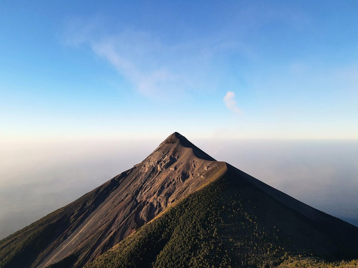
It's one long climb of about 5,200 ft (1,585 m) by my GPS, steep the whole way, with soft volcanic sand and loose rock near the top. It took me about 4.6 hours of moving to the summit and down to the camp. Time-wise it didn't take me that long to get to the summit, but the slope of the volcano and constantly gaining elevation the entire time make it a bit of an effort. After four miles of constant climbing I was starting to feel it.
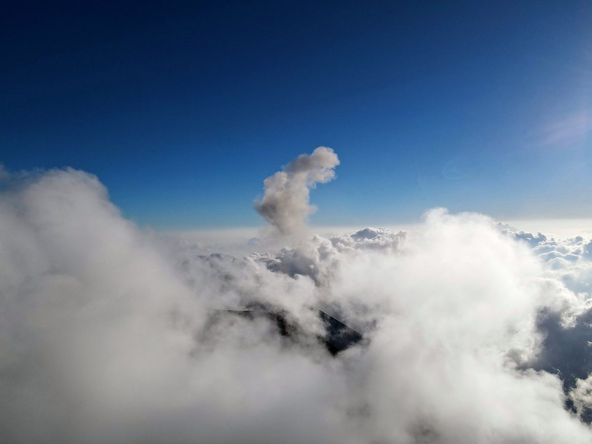
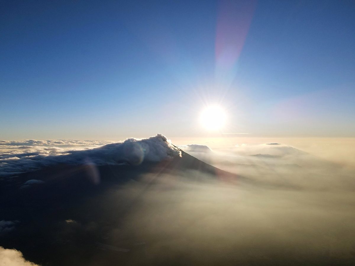
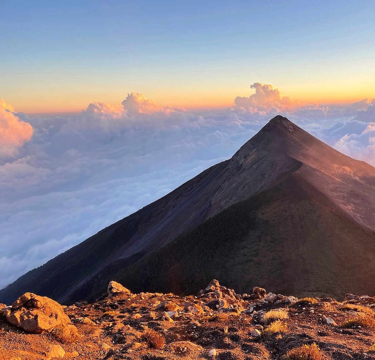
The route day by day, with maps and my GPX files, is in my free guide: Acatenango Volcano on Follow the Hiker.