
Hiking Madeira alone
In April 2023 I spent eight days alone on Madeira, the Portuguese island in the Atlantic off the coast of Africa. I didn't do a thru-hike.
Watch it: 8 Days of Traveling and Hiking in Madeira
In April 2023 I spent eight days alone on Madeira, the Portuguese island in the Atlantic off the coast of Africa. I didn't do a thru-hike. I rented a car, slept in hotels and did day hikes from the road: Pico Grande from the Valley of the Nuns, Pico do Areeiro to Pico Ruivo above the clouds, the old laurel trees at Fanal, part of the Levada do Caldeirão Verde, and Ponta de São Lourenço at the east end. In between I drove the coast from Ponta do Sol to Porto Moniz, Seixal and Machico. About 29.6 miles (47.7 km) of hiking and 10,462 ft (3,189 m) of climbing by my GPS.
Good to know first (October 2026). Since January 1, 2026, every classified trail on Madeira (the PR routes) needs a 30-minute time slot booked and paid online on the SIMplifica portal before you walk:
On the trail
I flew from Denver, connected in New York, and landed at Cristiano Ronaldo International Airport, named after Madeira's most famous footballer. As they lengthened the runway they ran out of space, so part of it stands on pillars over the shore, and you can drive underneath it.
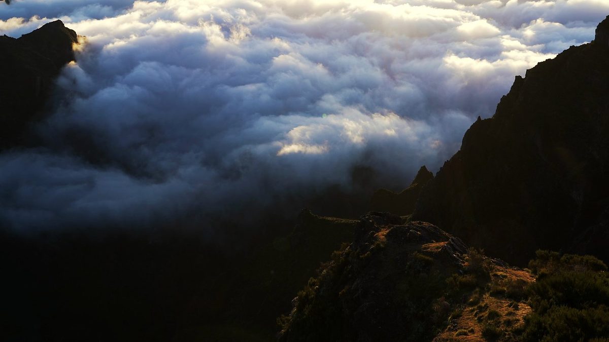
The next morning I drove into the Valley of the Nuns, Curral das Freiras, with one hike in mind: Pico Grande. I started from the top of the village at 10:43 a.m. and snaked my way up. A wooden sign at the edge of the forest points the way to Pico Grande. Higher up the trail climbs a steep slope with cable handrails, then follows a ridge with the village far below, past purple Pride of Madeira flowers. It wasn't too crowded.
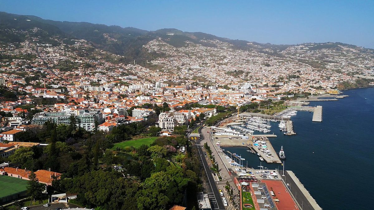
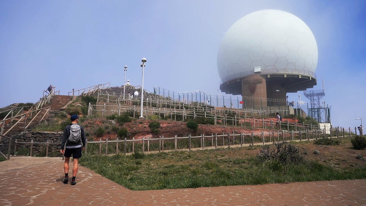
My plan was to wake up and do the PR1, Pico do Areeiro to Pico Ruivo. It turned out to be super overcast, and when I got up there the visibility was really bad. I waited a while in the café and at the car, but the weather never changed, so I decided to push the hike back a day. I'm really glad I did. That day I also had a pastel de nata and a coffee at Pastelaria Caribe and rode the cable car up over Funchal's old town. Around then I stopped at Cabo Girão too, the glass skywalk on top of the sea cliff west of Funchal. It was crowded; I'd much rather park farther away.
In the morning I went to the viewpoint over the sea stacks at Ribeira da Janela, a really unique thin rock off the coast, and walked down to the shore through a gap in the rock. Then I drove up inland to the Fanal forest, where the northern weather fades out. You get really dramatic fog and clouds rolling up over the forest: old laurel trees bent one way, with grass between them, and then it all disappears in the fog. When I got there late in the morning there was still space in the parking lot, and the clouds were really cinematic. I saw the cows and listened to the frogs, and walked a 2.5-mile loop around the area.
The plan was to wake up before sunrise and drive out for my last hike, but the light wasn't cooperating: it was just too overcast. So I drove up to Queimadas for a levada hike instead. At the trailhead there were really nice little houses with thatched roofs (I thought one was a hotel), some geese, beautiful flowers, cats, and coffee. I didn't do the whole levada, because it was overcast with low visibility, but I got the feel of walking alongside a levada: the water channel, the mossy walls, a stone bridge in the fog. I turned back about 1.6 miles in, and after a bit over three and a half miles I was back at the car.
I had one more day, so I went up to the golf course at Santo da Serra and hit balls at the driving range, with the mountains in the background. Golfing on trips is my new thing. I stayed at the Hotel PortoBay Serra Golf near the course, which was very bougie, and a nice place to relax at the end of the trip and import and edit my footage. The next day I drove to the airport, returned the car and flew home.
What I took from it
The PR1 is. I found it crowded and claustrophobic at times: the trail is narrow, and with a group of 20 or 30 people going at once you have to wait to the side. Ponta de São Lourenço was crowded at midday too. Pico Grande wasn't too crowded. The 2026 time slots now cap how many people start each half hour.
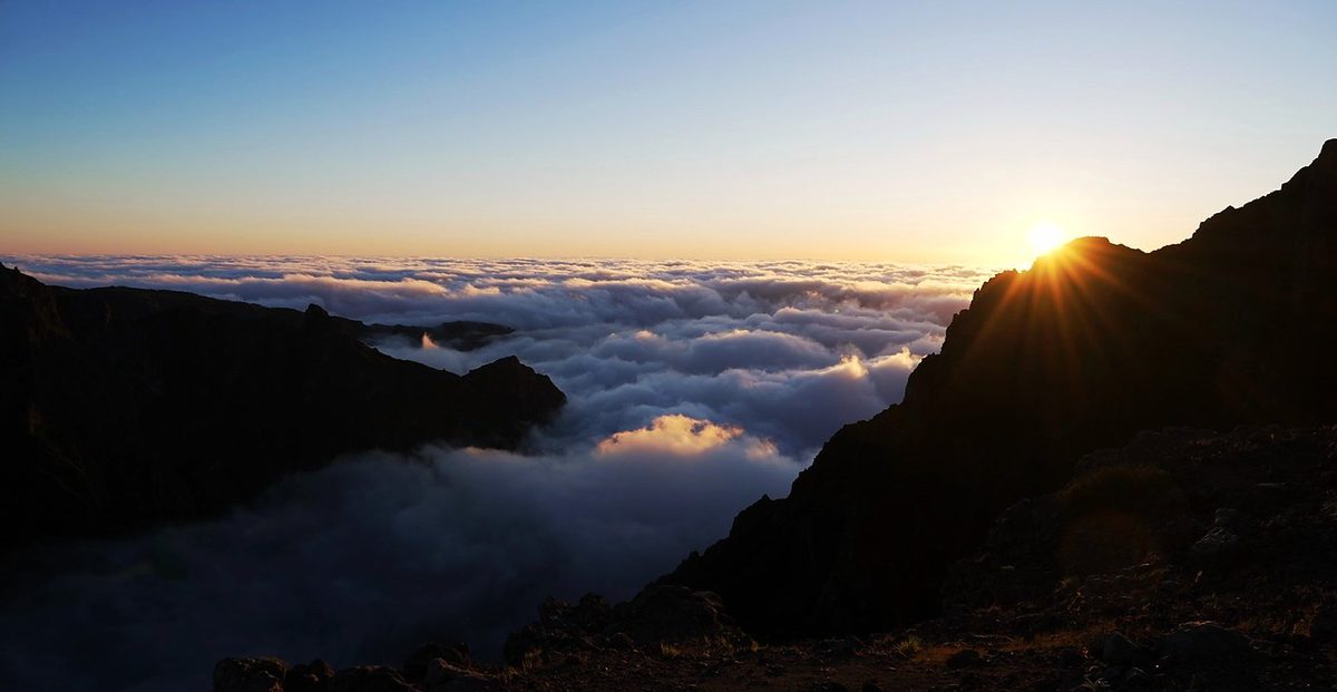
The north and the south of the island have different weather. The clouds come and go all day. If you're up high early, you can be above a sea of clouds as the sun comes up. One morning the top was in thick cloud and I put the hike off by a day. Build a spare day into your plan.
The route day by day, with maps and my GPX files, is in my free guide: Madeira on Follow the Hiker.