
Hiking across Tenerife alone
In December 2024 I set out to walk across Tenerife, the biggest of the Canary Islands, alone: from the green, steep Anaga mountains in the northeast, over the spine of the island through the.
Watch it: Hiking Alone in the Canary Islands
In December 2024 I set out to walk across Tenerife, the biggest of the Canary Islands, alone: from the green, steep Anaga mountains in the northeast, over the spine of the island through the pine forest, up to Las Cañadas below Teide, Spain's highest mountain, and down to the south coast. I walked five days, about 80.5 miles by my GPS. I didn't make the coast. I got sick on the way up to Teide, kept going for two more days, and stopped in the mountain village of Vilaflor. It turned out to be walking pneumonia.
It wasn't an easy trip, and I said so in the film: bad weather in Anaga, a zero day waiting for it to clear, long days with a lot of climbing, and getting sick. This guide is the honest version: the five days as I walked them, and everything you need to plan your own crossing, or just the best parts of it.
On the trail
I started the hike at Cruz del Carmen just before 1 p.m., the same day I landed. The weather wasn't ideal, but I'd rather just start going and hope it clears up. Up there at the start it wasn't that interesting: cloudy skies. My plan was to hike down to the coast, mostly downhill, to a hostel I'd booked near where I hoped to get a thumbnail for the film if the sun came out. My pack was heavy, because the plan was to keep walking and not go back to the hotel for a week.
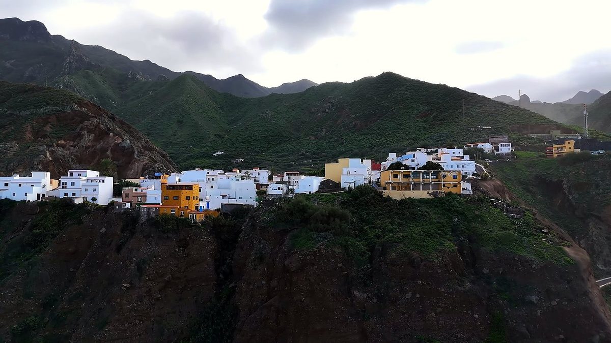
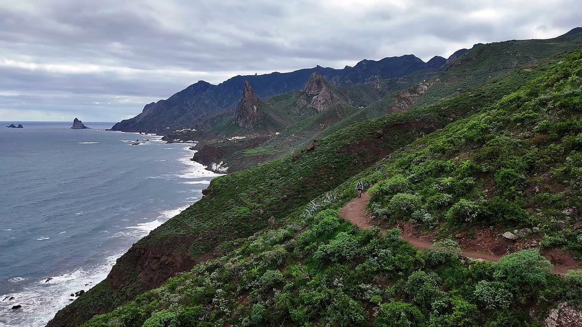
The day before, I'd stayed at the hostel. I slept 12 hours, which felt good, but the weather was bad again, so I took a zero day there: drone shots, a sleepy cat, killing time. It wasn't fun, and I kind of wished I'd just powered through. On Day 2 I started back the way I'd come. I wasn't in a good mood. I'd waited for the weather, and it was even more overcast than the first day, so I'd killed an entire day in the same place for nothing. If I'd just kept going the first day, the video would have turned out better. I was tired and wanted to go home and cancel the video, and I had a lot of uphill to do.
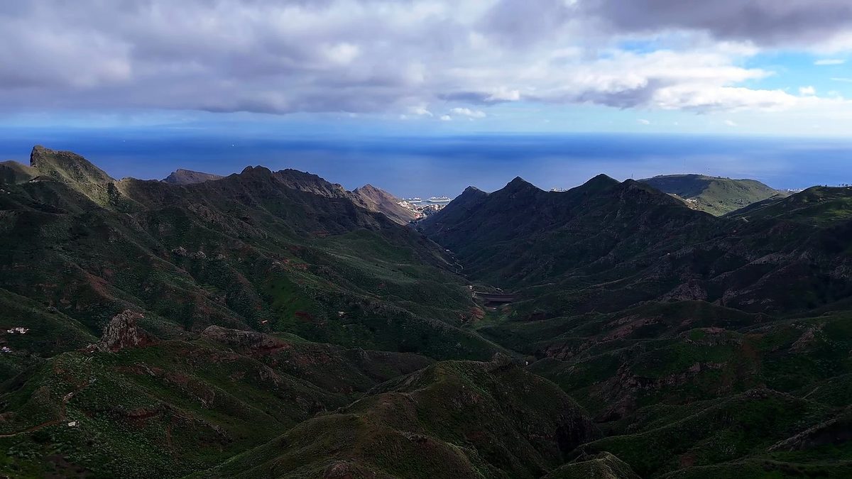
It's about a two-hour walk from La Laguna through the city, past the airport and up through some suburbs to the trailhead. I could very easily have hopped in a taxi and started at the trailhead, but I wanted a true coast-to-coast crossing on foot, so I walked it. As I expected, it wasn't fun. Past La Esperanza I finally got onto the trail, but much of it barely seemed like a trail: wide forest tracks for horses, bikes and logging, with logging everywhere, and a gun range near the trail. So much climbing for not very pretty trails or views. At least I could see Teide on the horizon. I stopped for about half an hour at the Las Canales picnic area around 1 p.m.
In the morning I walked down to a restaurant at Aguamansa, the Cruz de Tea. It was supposed to open at 10, and it was 10 when I got there; I gave it a few minutes. I wasn't feeling good: I was pretty sick, my lungs, my throat, I'd been coughing. I was really thinking about taking taxis for a bit. I couldn't get eggs, but I had some fruit and juice and coffee, and that put me in a better mood to attempt the uphill part.
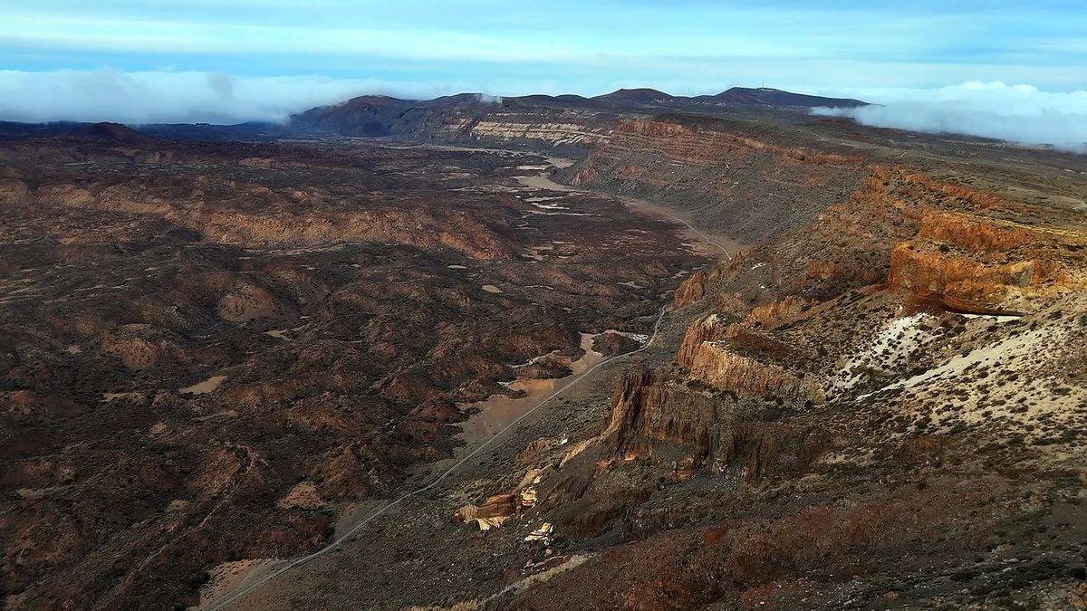
I'd left the Teide area, and I was for sure sick. I didn't get much sleep at the Parador; I'd been coughing a lot and felt like absolute crap. I was supposed to take the cable car up the volcano that morning, but they cancelled it because of strong winds. I was still committed to walking to the coast, even though it wasn't smart. Luckily the day was easy. I started late, at 10:40, and moved slowly, mostly downhill through the pines. At Vilaflor I had lunch, grilled meat and fries, at Casa Pana, and stopped. I was incredibly sick and done hiking. On Strava: "Final day due to sickness. Didn't quite make it to the coastline." It turned out I had walking pneumonia.
What I took from it
I walked about 80 miles in five days, with a zero day in Anaga waiting for the weather. Days 2, 3 and 4 were 17.5, 21.5 and 22.7 miles, each with 4,500 to 5,000 ft of climbing. Day 3 was "not an easy day. really tough," and back to back with Day 4 I was exhausted. Split into shorter days, the same ground takes seven or eight, plus a day for Teide.
Not reliably on the long climb from La Esperanza to El Portillo: the taps at the picnic areas are often marked not drinkable. I filled up at fountains and taps in the villages and at the bars and restaurants on the way.
The route day by day, with maps and my GPX files, is in my free guide: Across Tenerife on Follow the Hiker.