
Hiking the Azores alone
In late February and early March 2024 I spent a week alone in the Azores, the Portuguese islands in the middle of the Atlantic.
Watch it: Hiking Alone in the Azores
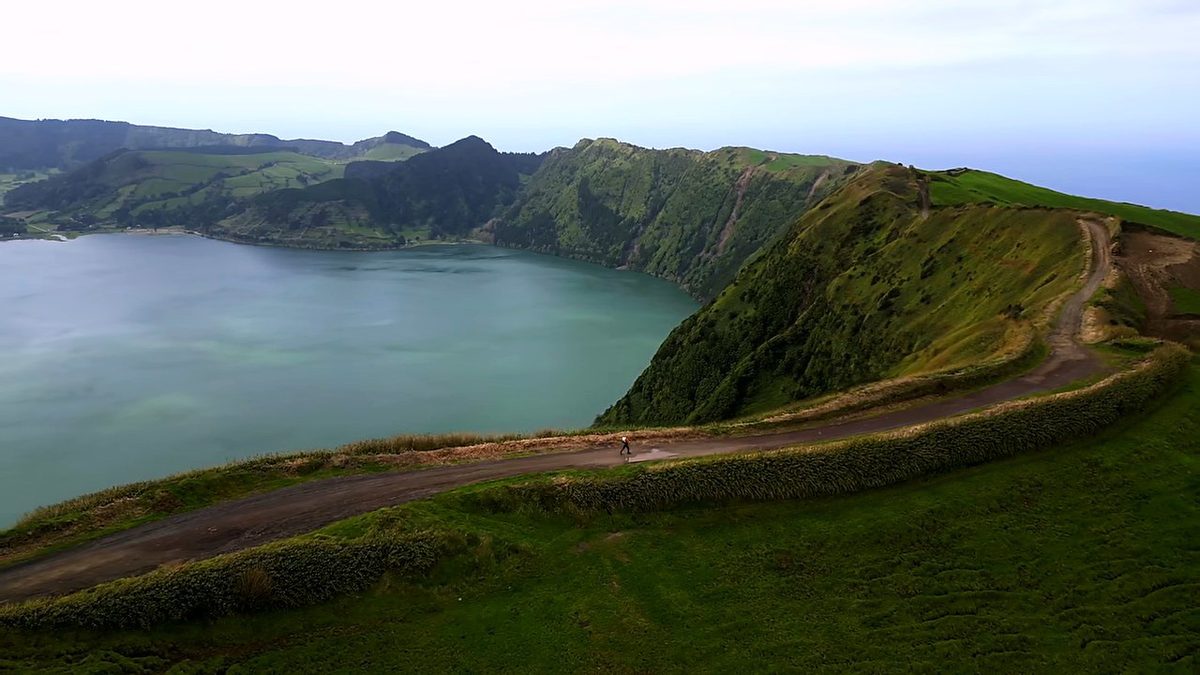
In late February and early March 2024 I spent a week alone in the Azores, the Portuguese islands in the middle of the Atlantic. I hiked the rim of the Sete Cidades crater on São Miguel, flew to Flores and walked the Grande Rota das Flores in three days, from the airport at Santa Cruz round the north and west coasts to Lajedo, with a night in my tent at Ponta Delgada and a night at Aldeia da Cuada, and then flew to Corvo, the smallest island, to walk the rim of its crater, the Caldeirão. Five hikes, about 47.3 miles (76.1 km) by my GPS.
It was the very still season. I didn't see a single other hiker on the trail, I camped on my own at empty campsites, and wind and a stormy sea kept me on Corvo for two extra nights.
On the trail
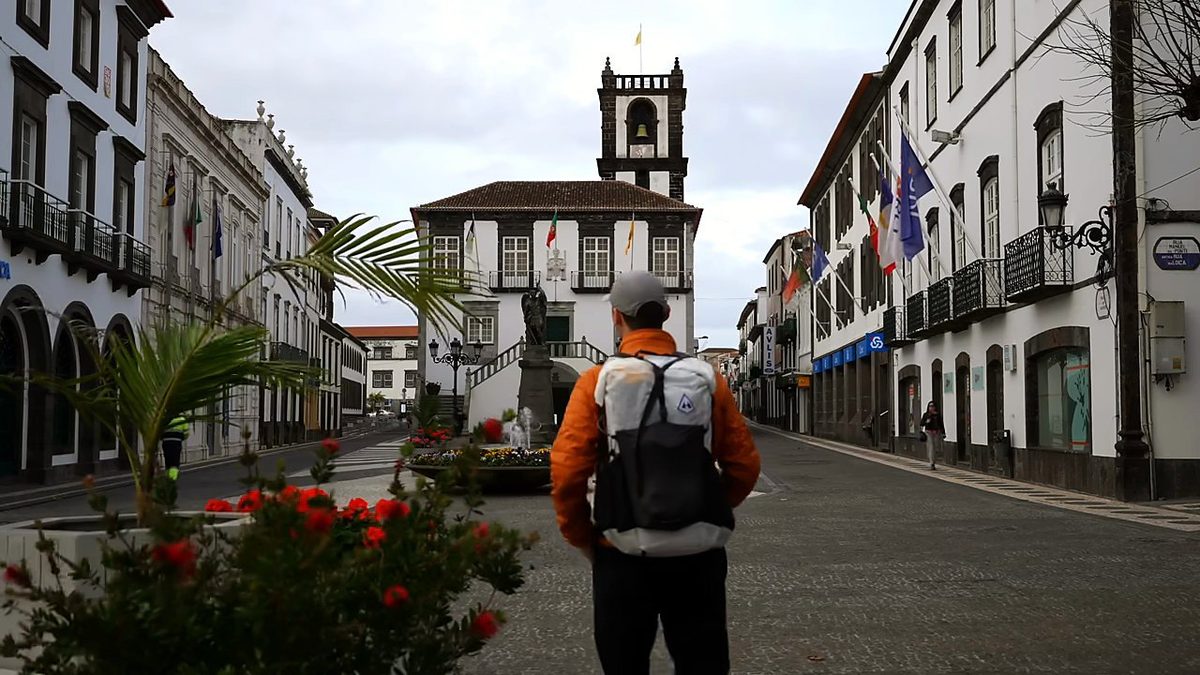
I flew into Ponta Delgada that morning, had a coffee and a pastry, bought food at a supermarket and a gas canister at the Decathlon, and packed my bag. Then I took a taxi up to the start, on the road by Lagoa do Canário.
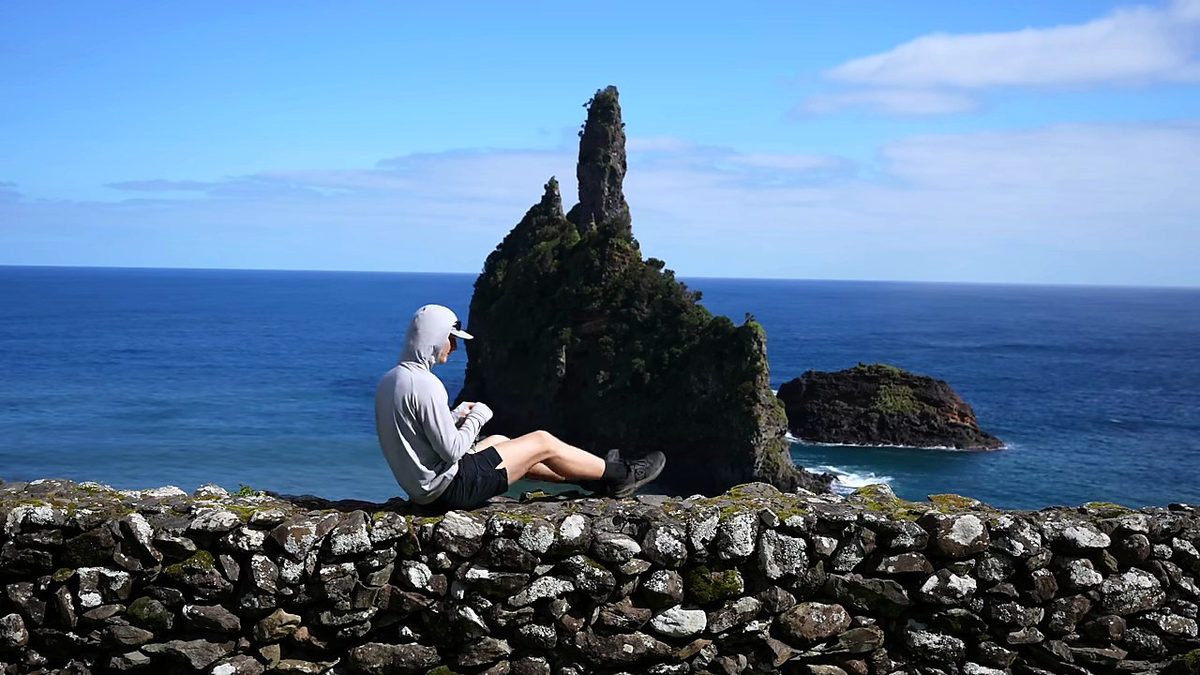
A taxi took me to the airport before dawn, and I flew to Flores in a little propeller plane. I landed, had a sandwich and a coffee, bought a few groceries, filled my bottle at a stone fountain and started walking straight from the airport at 10:51 a.m. The trail climbs out of Santa Cruz past farmhouses, then over a hill and down along a levada, a concrete water channel through the forest, with a muddy stretch on the way. At mile 6.1 I came down to the coast at the little Alagoa campsite and its sea stacks, and stopped for 24 minutes. I could have slept there, but I kept going.
I got lucky with the weather: a clear sunrise over the sea. It was colder, so no shorts. I left the campsite at 8:41 a.m. and walked out past the Albarnaz lighthouse at the north-west tip, where you look out toward the westernmost point of Europe. I stopped to tie my shoes on the wall by the lighthouse. Then the path went along the high west coast, over grassy cliff tops and down steep paths with the coast and Fajã Grande far below, and past a tall waterfall coming down the cliffs. It was an easy day, partly overcast, and I was totally alone on the trail again.
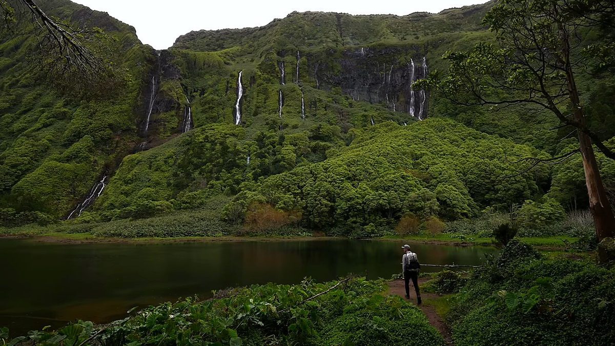
I packed in my room and left Cuada at 9:32 a.m. on a stone-walled lane. It was overcast and cold again, and it got me down a bit, but I'm glad I took the detour to the waterfalls: a pool under a green cliff with waterfalls all the way down it, and nobody else there. I stayed 22 minutes. Later a goat with long horns stood in the middle of a narrow walled path and wouldn't move. "This is not a problem for me, I just have to go all the way back up." So I turned back up the path. Then the trail climbed past the Rocha dos Bordões, a cliff of basalt columns, to Lajedo, the end of the Grande Rota, at 1:14 p.m.
The flight from Flores to Corvo took a few minutes in the air. In the village I took a taxi up to the crater rim, about The Caldeirão is a huge green crater with lakes and little islands in the bottom, stone-walled fields on its slopes, and one side open to the sea. I had the whole hike, and pretty much the whole island, to myself. Rain came in waves: on the rim you can see each shower coming across the crater. When it poured I hunkered down. I waited for windows of sun to get my shots, three stops of 10 to 25 minutes on the rim, then walked all the way back down to the village, at 6:27 p.m.
What I took from it
Flores. That's where I did three of my five hikes and where my favorite stretch was, and Corvo is next to it. My Sete Cidades day on São Miguel was the weakest: overcast, mostly on a dirt road, and in my notes I called it a mediocre time on a touristy volcano rim.
June to September is warmest and driest. I went at the very end of February: cheap, empty, green, wet, windy, and the flights to Corvo cancel more often.
The route day by day, with maps and my GPX files, is in my free guide: The Azores on Follow the Hiker.